2010s Maps of Jackson County, Missouri
Explore 60 historic maps of Jackson County from the 2010s. These maps offer a rare glimpse into what life looked like during the 2010s — showing old roads, neighborhoods, homes, and landmarks that have changed or disappeared over time.
Whether you're researching your family's past, planning a metal detecting trip, or studying how Jackson County's landscape evolved across the 2010s, these high-resolution maps are a powerful tool for exploring the history of this region.
- Focus on a specific era: All maps on this page are from the 2010s, giving you a focused view of this time period.
- See what’s changed: Compare century-old streets, trails, and buildings to today's modern landscape using overlays and satellite layers.
- Research with precision: Use these maps for genealogy, historical research, land use analysis, or educational projects.
- View, download, or print: Maps are fully viewable online in high resolution, and can be downloaded or printed for your own records.
Start exploring Jackson County's history through authentic maps from the 2010s. This is your window into the past.
Jackson County, MO maps
(60)- 2011 Map of Lees Summit, 2011 Print
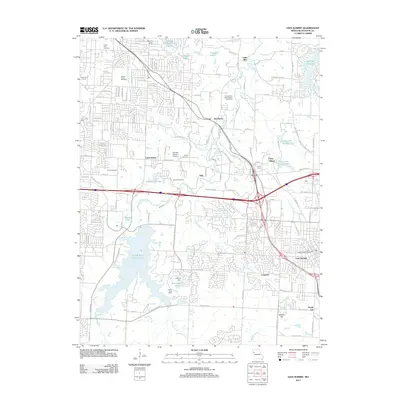 2011 Lees Summit2011 Print · USGSJackson County suburban expansion and historical estates are detailed in this study from the early 2010s. Trace the grounds of Longview Farm, find landmarks like Unity Tower, or locate family sites at Mount Olivet Cemetery and the Ganzer Cemetery.
 - 2011 Map of Raymore, 2011 Print
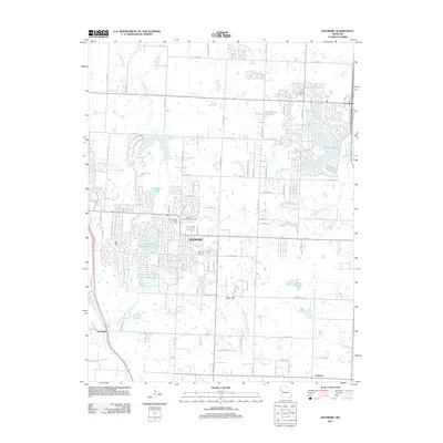 2011 Raymore2011 Print · USGSRaymore and its surrounding developments are captured in the early 2010s during a period of significant suburban expansion and water management. Genealogists and local historians can trace the community's footprint through the Raymore Cemetery, the Raymore International Airport, and the outlying settlement of Harrelson.
 - 2011 Map of Grandview, 2011 Print
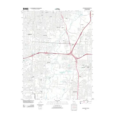 2011 Grandview2011 Print · USGSThe southern suburbs of Kansas City and the community of Grandview are captured here in the early twenty-first century. Genealogists and local historians can trace the development of legacy areas like Hickman Mills, New Santa Fe, and the expansive Mount Moriah Cemetery.
 - 2011 Map of Strasburg, 2011 Print
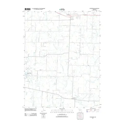 2011 Strasburg2011 Print · USGSMissouri's rural heartland is documented here in the early twenty-first century, showing the small-town footprints of Strasburg and Lone Jack. Genealogists and local historians can locate Soldiers Cemetery, Sloan Cemetery, and family-named landmarks like Skaggs.
 - 2011 Map of Belton, 2011 Print
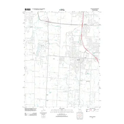 2011 Belton2011 Print · USGSThe Missouri-Kansas borderlands at the start of the 2010s show the growth of Belton and its surrounding residential communities. Researchers can locate family roots at Belton Cemetery or Woodland Cemetery and trace the legacy of local industry at the Knoche Oil Field.
 - 2011 Map of Lake Jacomo, 2011 Print
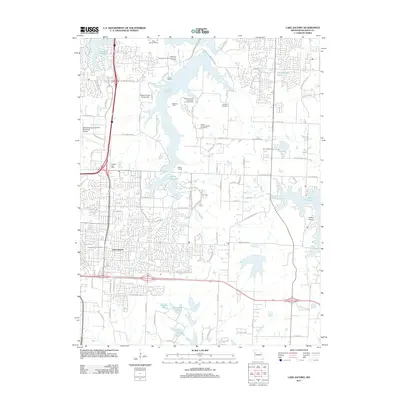 2011 Lake Jacomo2011 Print · USGSEastern Jackson County was a hub of recreation and suburban growth in the early 2010s. Genealogists and local historians can trace the development of Lees Summit and Lake Lotawana or locate family sites at Cowherd Cemetery and Lee's Summit Cemetery.
 - 2011 Map of Tarsney Lakes, 2011 Print
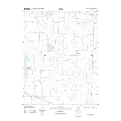 2011 Tarsney Lakes2011 Print · USGSJackson County rural life and community clusters are captured here in the early twenty-first century. Genealogists and historians can trace numerous family-named burial sites like Corn Cemetery and Gosney Cemetery or explore the corridors around Sni Mills and Tarsney Lakes.
 - 2011 Map of Elm, 2011 Print
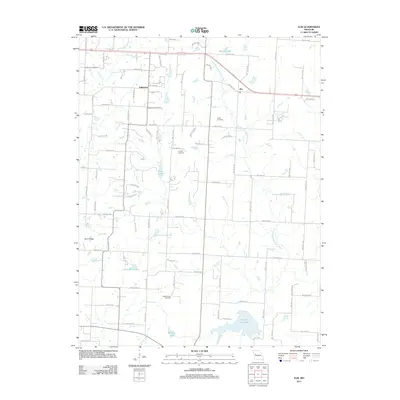 2011 Elm2011 Print · USGSThe rural uplands of Johnson County are shown here in the early 21st century, where the South Fork Blackwater River cuts through a landscape of family farms. Researchers can locate several historical burial sites including Basin Knob Cemetery, Underwood Cemetery, and Bluff Springs Cemetery.
 - 2011 Map of Chapel Hill, 2011 Print
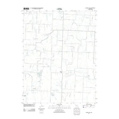 2011 Chapel Hill2011 Print · USGSThe rural landscapes around Jackson County were undergoing steady change in the early 2010s, maintaining a quiet balance between small crossroads like Chapel Hill and modern infrastructure. Genealogists can locate several local burial sites, including Shore Cemetery and Hill Cemetery, while tracing the winding paths of Sni-A-Bar Creek.
 - 2012 Map of Pleasant Hill, 2012 Print
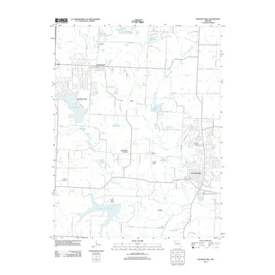 2012 Pleasant Hill2012 Print · USGSWestern Missouri residential growth and agricultural traditions meet in this 2012 survey of the area surrounding Pleasant Hill. Researchers can trace local heritage at Greenwood Cemetery or locate old school sites like Crossroads School and Lone Star School.
 - 2012 Map of Oak Grove, 2012 Print
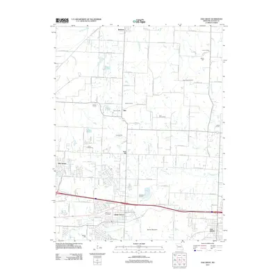 2012 Oak Grove2012 Print · USGSEastern Jackson County at the start of the 2010s shows a landscape of growing towns and persistent rural outposts. Genealogists and local historians can trace legacy sites like the Hiler Post Office, Monkey Mountain, and the Mecklin Cemetery.
 - 2012 Map of Independence, 2012 Print
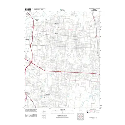 2012 Independence2012 Print · USGSThe suburbs of eastern Kansas City are shown here in the early 2000s, where traditional neighborhoods and river junctions meet modern infrastructure. Researchers can trace family sites through numerous historic grounds like Mount Washington Cemetery or locate the Harry S Truman Sports Complex and Air Line Junction.
 - 2012 Map of Camden, 2012 Print
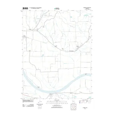 2012 Camden2012 Print · USGSThe riverfront communities along the Missouri River valley are captured here in the early twenty-first century. Researchers can trace family history through several rural burial grounds like Lewis Cemetery and Smith-Jackson Cemetery or explore the settlements of Orrick and Camden.
 - 2012 Map of Missouri City, 2012 Print
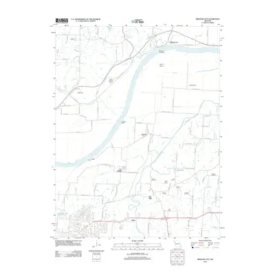 2012 Missouri City2012 Print · USGSIndependence and the Missouri River bottoms are documented here in the early twenty-first century as suburban growth meets historic floodplain settlements. Genealogists can trace family heritage across Drake Cemetery, Chiles Cemetery, and the river-fronting site of Blue Mills.
 - 2012 Map of Liberty, 2012 Print
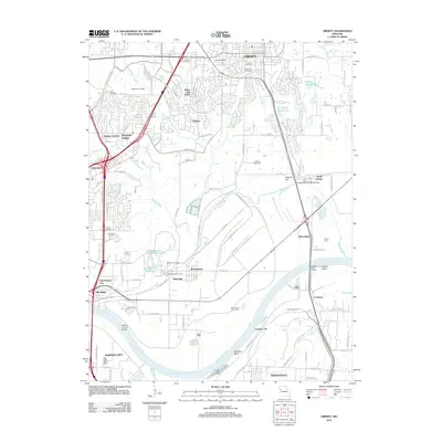 2012 Liberty2012 Print · USGSThe northern reaches of the Kansas City metro area are captured here in the early 2010s as the Missouri River defines the landscape. Researchers can trace numerous local burial sites like Fairview and Davidson Cemetery alongside rail hubs in Birmingham.
 - 2012 Map of Bates City, 2012 Print
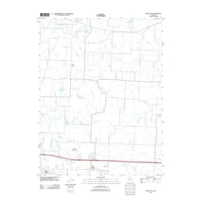 2012 Bates City2012 Print · USGSBates City and the eastern outskirts of Oak Grove are captured here in the early 21st century as suburban growth meets rural Missouri history. Researchers can locate family landmarks like Anderson Cemetery and Bates City Cemetery, or trace the path of the Old Santa Fe Trl.
 - 2012 Map of Blue Springs, 2012 Print
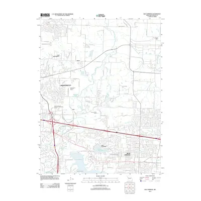 2012 Blue Springs2012 Print · USGSThe eastern edge of the Kansas City metro area comes into focus in 2012, showing the growing suburban centers and recreational lakes. Researchers can trace local landmarks like Lake Tapawingo, Independence Memorial Airport, and the Lobb Cemetery.
 - 2012 Map of Buckner, 2012 Print
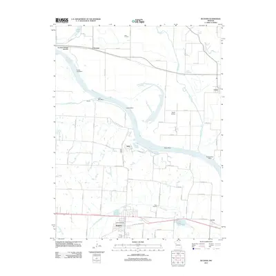 2012 Buckner2012 Print · USGSThe Missouri River floodplain near Buckner was a landscape of winding bends and fertile bottoms during the early 21st century. Genealogists can locate family sites at Buckner Hill Cemetery or trace the early community footprints of Sibley and Levasy.
 - 2012 Map of North Kansas City, 2012 Print
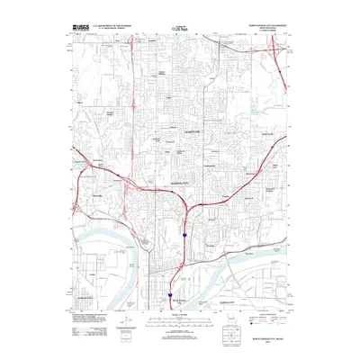 2012 North Kansas City2012 Print · USGSThe northern reaches of the Missouri riverfront are captured here in the early twenty-first century, showing the urban evolution of Kansas City and its neighbors. Researchers can trace the layout of Barry Cemetery, the Kansas City Downtown Airport, and the industrial Fairfax district along the Kaw Bend.
 - 2012 Map of Kansas City, 2012 Print
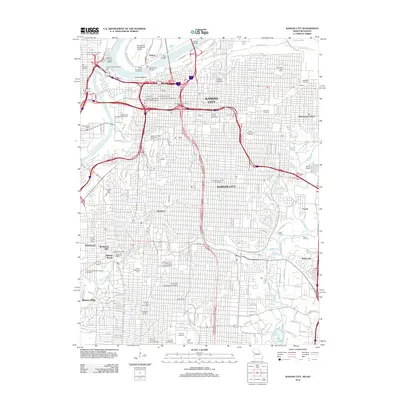 2012 Kansas City2012 Print · USGSKansas City at the start of the twenty-first century shows a dense urban landscape shaped by its river junctions and historic neighborhoods. Genealogists and historians can trace family roots through Union Cemetery, Calvary Cemetery, and the Sheffield industrial area.
 - 2014 Map of Buckner, 2014 Print
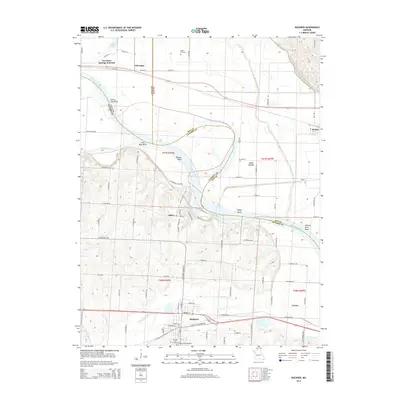 2014 Buckner2014 Print · USGSThe river bottoms and bluffs of Jackson County are captured here in the early twenty-first century as the Missouri River winds through its massive bends. Local researchers can trace family sites at Buckner Hill Cemetery and find the small rural centers of Sibley and Levasy.
 - 2014 Map of Tarsney Lakes, 2014 Print
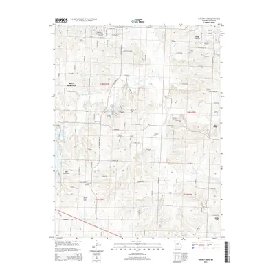 2014 Tarsney Lakes2014 Print · USGSEastern Jackson County is shown here in the early twenty-first century as suburban growth reaches into Missouri's rural heartland. Local historians can trace old community hubs like Sni Mills and Hicks City or locate family sites at the Koger Cemetery and Purdee Chapel Cemetery.
 - 2014 Map of Strasburg, 2014 Print
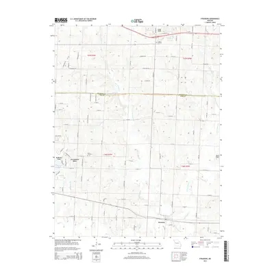 2014 Strasburg2014 Print · USGSThe Cass and Jackson County border comes alive in this survey of Strasburg and Pleasant Hill during the early 2010s. Researchers can trace local history at Soldiers Cemetery, locate Baldwin Lake, and follow the winding course of Big Creek.
 - 2014 Map of Elm, 2014 Print
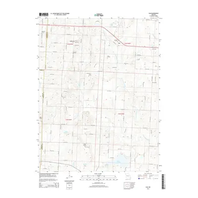 2014 Elm2014 Print · USGSJohnson County's rural heartland is documented here in the early twenty-first century, showing a landscape defined by traditional family farmsteads and small crossroads. Researchers can locate ancestral burial grounds at Bluff Springs Cemetery and Basin Knob Cemetery or trace the headwaters of the S Fork Blackwater River.
 - 2014 Map of Bates City, 2014 Print
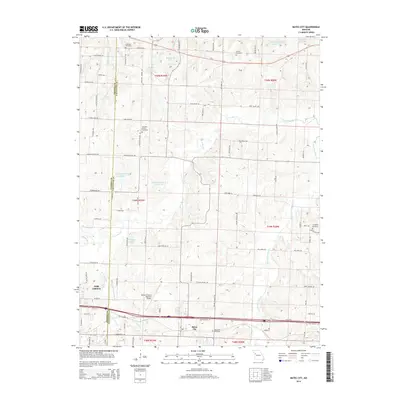 2014 Bates City2014 Print · USGSThe Missouri borderlands between Jackson and Lafayette Counties are captured here in the early twenty-first century. Genealogists and local researchers can pinpoint family plots at Anderson Cemetery or trace the winding course of Sni-A-Bar Cr through Bates City.
Showing maps 1-25 of 60
Top cities of Jackson County
- Independence historical maps
- Lee's Summit historical maps
- Blue Springs historical maps
- Raytown historical maps
- Grandview historical maps
- Grain Valley historical maps
See more
Frequently asked questions
- What are the different types of historical maps available for Jackson County?
- What is the oldest map of Jackson County?
- Where can I purchase historical maps of Jackson County for my home or office?
- Where can I download high-res historical maps of Jackson County?
- Are there historical topographic maps available for Jackson County?
- Is there historical aerial imagery available for Jackson County?
- Where are historical maps of Jackson County sourced from?