Old Maps of Independence, Missouri
Explore 33 old maps of Independence, spanning from 1894 to today. These high-resolution historic maps reveal how streets, neighborhoods, landmarks, and natural features evolved over time — perfect for genealogy, metal detecting, research, and local history exploration.
What you can do with these maps:
- See how Independence changed over time: Compare historical maps to modern-day views to trace roads, homesites, rail lines & more.
- View detailed metadata: Each map includes creators, publishers, year, scale, and archive source.
- Overlay maps with satellite & LiDAR: Visualize the past alongside modern tools to explore terrain & human change.
- Trusted historical sources: Maps sourced from the USGS, Library of Congress, and other archives.
- Access maps your way: View online, download high-res files, or order prints for personal or research use.
Start exploring old maps of Independence to uncover forgotten places, hidden landmarks, and the deep history beneath your feet.
Independence, MO maps
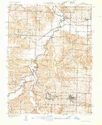
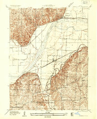
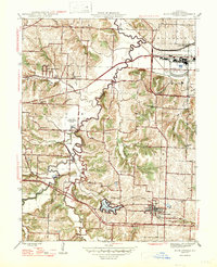
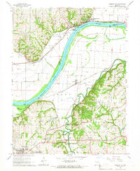
(33)- 1894 Map of Independence
 1894 Independence1894 Print · USGSCovers Independence, including Kansas City, Lee's Summit, and other nearby areas5 unique versions available
 - 1933 Map of Blue Springs
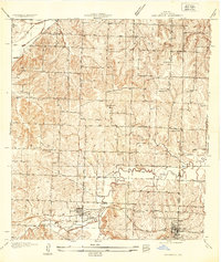
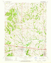
 1933 Blue Springs1933 Print · USGSCovers Independence, including Lee's Summit, Blue Springs, and other nearby areas
 - 1934 Map of Oak Grove
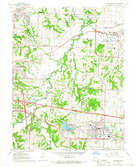
 1934 Oak Grove1934 Print · USGSCovers Independence, including Blue Springs, Grain Valley, and other nearby areas2 unique versions available
 - 1934 Map of Independence
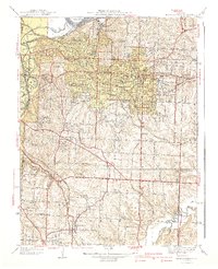
 1934 Independence1934 Print · USGSCovers Independence, including Kansas City, Lee's Summit, and other nearby areas2 unique versions available
 - 1935 Map of Buckner
 1935 Buckner1935 Print · USGSCovers Independence, including Buckner, Orrick, and other nearby areas2 unique versions available
 - 1935 Map of Missouri City
 1935 Missouri City1935 Print · USGSCovers Independence, including Missouri City, Atherton, and other nearby areas
 - 1935 Map of Liberty, 1955 Print
 1935 Liberty1955 Print · USGSCovers Independence, including Kansas City, Liberty, and other nearby areas2 unique versions available
 - 1940 Map of Liberty
 1940 Liberty1940 Print · USGSCovers Independence, including Kansas City, Liberty, and other nearby areas2 unique versions available
 - 1940 Map of Independence
 1940 Independence1940 Print · USGSCovers Independence, including Kansas City, Lee's Summit, and other nearby areas2 unique versions available
 - 1945 Map of Blue Springs, 1955 Print
 1945 Blue Springs1955 Print · USGSCovers Independence, including Lee's Summit, Blue Springs, and other nearby areas
 - 1945 Map of Missouri City, 1955 Print
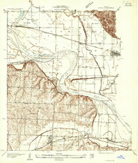
 1945 Missouri City1955 Print · USGSCovers Independence, including Missouri City, Atherton, and other nearby areas
 - 1947 Map of Blue Springs
 1947 Blue Springs1947 Print · USGSCovers Independence, including Lee's Summit, Blue Springs, and other nearby areas2 unique versions available
 - 1947 Map of Missouri City
 1947 Missouri City1947 Print · USGSCovers Independence, including Missouri City, Atherton, and other nearby areas2 unique versions available
 - 1950 Map of Kansas City
 1950 Kansas City1950 Print · USGSCovers Independence, including Kansas City, Overland Park, and other nearby areas
 - 1954 Map of Kansas City
 1954 Kansas City1954 Print · USGSCovers Independence, including Kansas City, Overland Park, and other nearby areas
 - 1956 Map of Kansas City, 1967 Print
 1956 Kansas City1967 Print · USGSCovers Independence, including Kansas City, Overland Park, and other nearby areas4 unique versions available
 - 1957 Map of Independence, 1958 Print
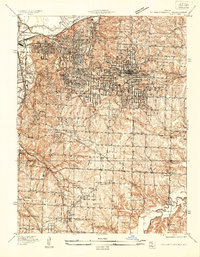
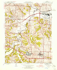
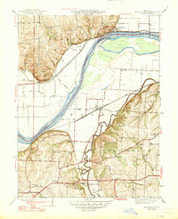
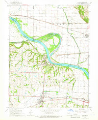
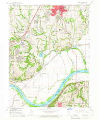
 1957 Independence1958 Print · USGSCovers Independence, including Kansas City, Lee's Summit, and other nearby areas
 - 1960 Map of Kansas City
 1960 Kansas City1960 Print · USGSCovers Independence, including Kansas City, Overland Park, and other nearby areas3 unique versions available
 - 1964 Map of Independence, 1965 Print
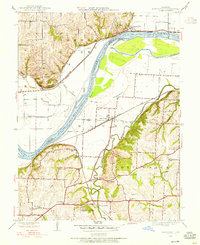
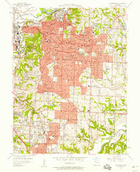
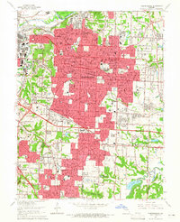 1964 Independence1965 Print · USGSCovers Independence, including Kansas City, Lee's Summit, and other nearby areas4 unique versions available
 - 1965 Map of Buckner, 1966 Print
 1965 Buckner1966 Print · USGSCovers Independence, including Buckner, Orrick, and other nearby areas2 unique versions available
 - 1965 Map of Missouri City, 1966 Print
 1965 Missouri City1966 Print · USGSCovers Independence, including Missouri City, Atherton, and other nearby areas4 unique versions available
 - 1965 Map of Oak Grove, 1966 Print
 1965 Oak Grove1966 Print · USGSCovers Independence, including Blue Springs, Grain Valley, and other nearby areas3 unique versions available
 - 1965 Map of Blue Springs, 1966 Print
 1965 Blue Springs1966 Print · USGSCovers Independence, including Lee's Summit, Blue Springs, and other nearby areas3 unique versions available
 - 1965 Map of Liberty, 1966 Print
 1965 Liberty1966 Print · USGSCovers Independence, including Kansas City, Liberty, and other nearby areas3 unique versions available
 - 1983 Map of Kansas City
 1983 Kansas City1983 Print · USGSCovers Independence, including Kansas City, Overland Park, and other nearby areas
Showing maps 1-25 of 33
Top cities near Independence
- Kansas City historical maps
- Lee's Summit historical maps
- Blue Springs historical maps
- Liberty historical maps
- Raytown historical maps
- Gladstone historical maps
See more
Top neighborhoods of Independence
- Adams historical maps
- Maywood historical maps
- Lake City historical maps
- Englewood historical maps
- Bristol historical maps
- East Independence historical maps
See more
Frequently asked questions
- What are the different types of historical maps available for Independence?
- What is the oldest map of Independence?
- Where can I purchase historical maps of Independence for my home or office?
- Where can I download high-res historical maps of Independence?
- Are there historical topographic maps available for Independence?
- Is there historical aerial imagery available for Independence?
- Where are historical maps of Independence sourced from?