2020s Maps of Jefferson County, Missouri
Explore 23 historic maps of Jefferson County from the 2020s. These maps offer a rare glimpse into what life looked like during the 2020s — showing old roads, neighborhoods, homes, and landmarks that have changed or disappeared over time.
Whether you're researching your family's past, planning a metal detecting trip, or studying how Jefferson County's landscape evolved across the 2020s, these high-resolution maps are a powerful tool for exploring the history of this region.
- Focus on a specific era: All maps on this page are from the 2020s, giving you a focused view of this time period.
- See what’s changed: Compare century-old streets, trails, and buildings to today's modern landscape using overlays and satellite layers.
- Research with precision: Use these maps for genealogy, historical research, land use analysis, or educational projects.
- View, download, or print: Maps are fully viewable online in high resolution, and can be downloaded or printed for your own records.
Start exploring Jefferson County's history through authentic maps from the 2020s. This is your window into the past.
Jefferson County, MO maps
(23)- 2021 Map of Valmeyer, 2021 Print
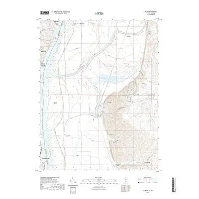 2021 Valmeyer2021 Print · USGSThe Mississippi River corridor near the Missouri-Illinois border is documented here in the early twenty-first century. Researchers can trace land tracts and local heritage near Valmeyer, Moredock Lake, and historic cemeteries like Eagle Cliff Cem.
 - 2021 Map of De Soto, 2021 Print
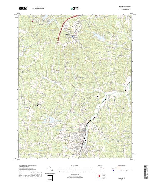 2021 De Soto2021 Print · USGSJefferson County at the start of the 2020s shows a landscape of growing towns and quiet creek valleys. Genealogists and researchers can trace family landmarks like Lone Pilgrim Cem, the Jefferson County Courthouse in Hillsboro, and the streets of DE SOTO.
 - 2021 Map of Festus, 2021 Print
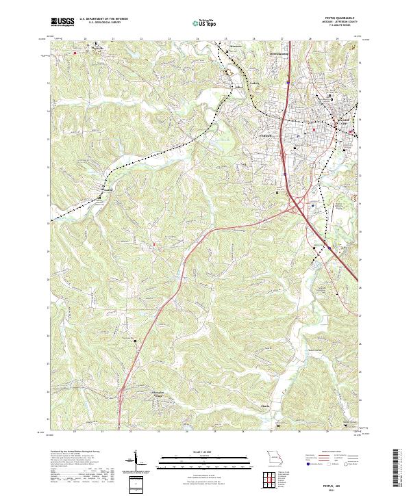 2021 Festus2021 Print · USGSThe interconnected river towns of Jefferson County are shown in the early 2020s as they sprawl across the Joachim and Plattin Creek valleys. Genealogists can trace family sites at Old Crystal City Cem, Telegraph Schoolhouse Cem, and the historic Hematite Christian Church Cem.
 - 2021 Map of Vineland, 2021 Print
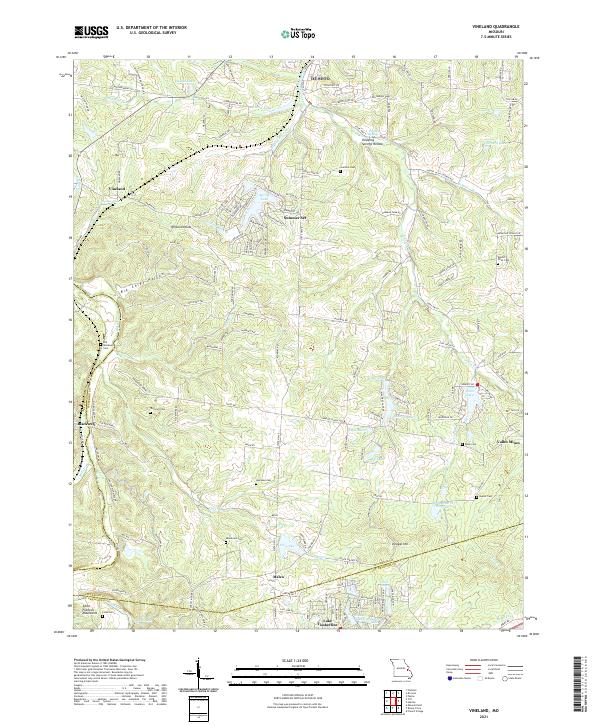 2021 Vineland2021 Print · USGSJefferson County’s hill country and the northern edge of the Saint Francois Mountains are shown here as they appeared in the early twenty-first century. Genealogists and local historians can locate many rural burial grounds like Moontown Cem, Vineyard Cem, and the old mining community of Valles Mines.
 - 2021 Map of Fletcher, 2021 Print
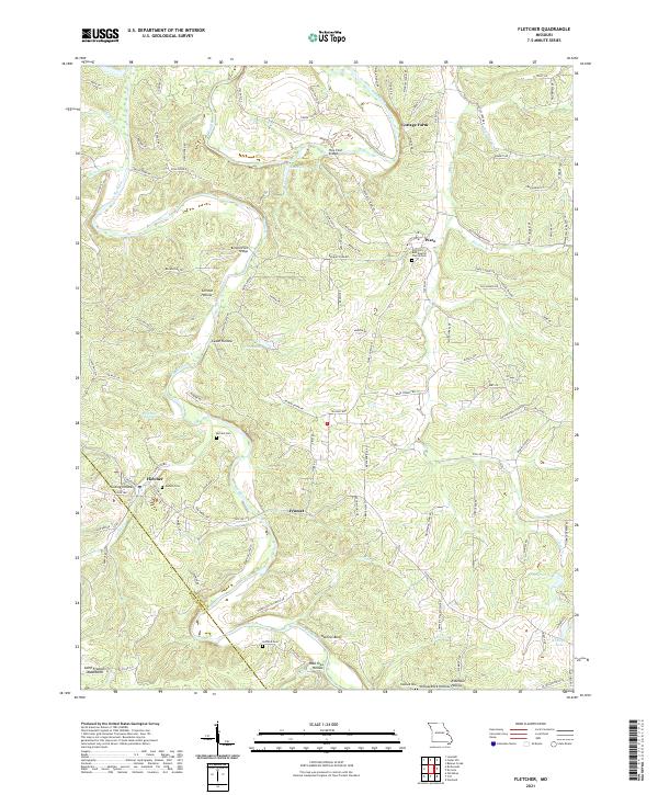 2021 Fletcher2021 Print · USGSIn the northeastern Ozarks, this modern survey captures the rural character and river-linked communities of Jefferson County. Researchers can trace ancestral sites at Pilgrims Rest Baptist Church Cem or locate the old settlements of Fletcher and Frumet.
 - 2021 Map of Maxville, 2021 Print
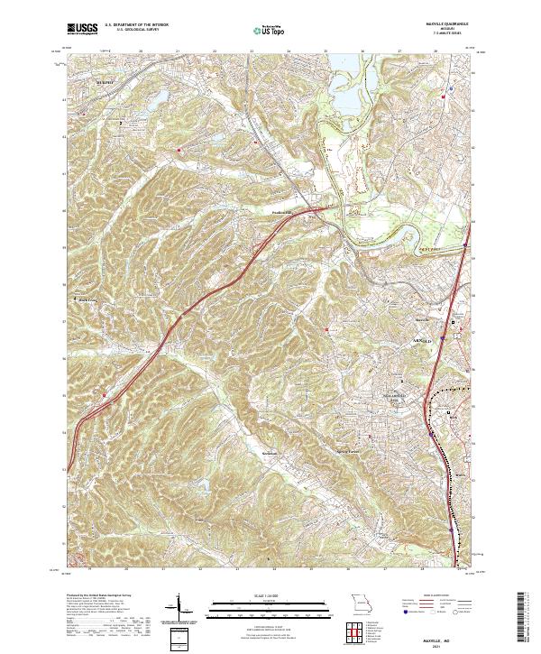 2021 Maxville2021 Print · USGSThe suburban landscape south of St. Louis is captured here at the start of the 2020s, where traditional communities meet modern growth. Genealogists and local researchers can locate established landmarks like McCormack Cem and the Jefferson College Arnold campus.
 - 2021 Map of Belews Creek, 2021 Print
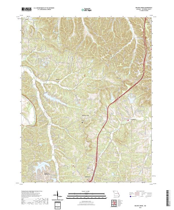 2021 Belews Creek2021 Print · USGSJefferson County’s shifting rural and suburban landscape is captured here in the early 2020s, documenting the area between Hillsboro and Otto. Researchers can trace the development of Raintree Plantation, locate the Glade Chapel Cem, and find the Jefferson College campus.
 - 2021 Map of Selma, 2021 Print
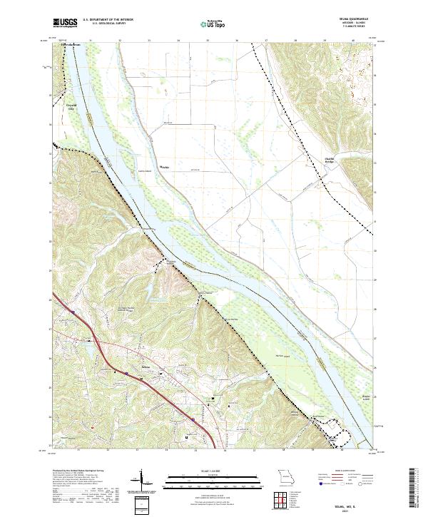 2021 Selma2021 Print · USGSThe bluffs of Jefferson County overlook the Mississippi River and the Illinois bottoms in the early 2020s. Genealogists can trace family names through numerous sites like Barsotti Cem, Wagoner Cem, and the Cliffdale Hollow Natural Bridge.
 - 2021 Map of Manchester, 2021 Print
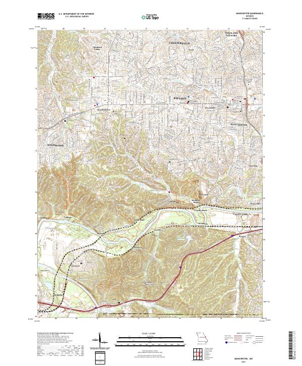 2021 Manchester2021 Print · USGSSt. Louis County's suburban expansion meets the winding Meramec River valley in the early 2020s. Genealogists and local historians can trace family markers at Saint Johns Lutheran Cem or follow the BNSF Railway through Sherman and Glencoe.
 - 2021 Map of Richwoods, 2021 Print
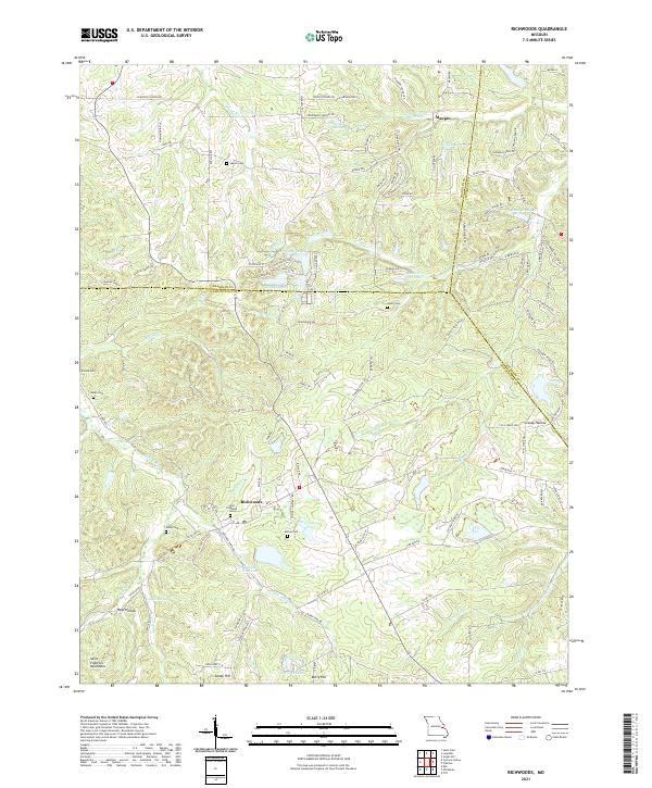 2021 Richwoods2021 Print · USGSRichwoods and the northern Saint Francois Mountains appear in detail during the early 2020s. Genealogists and local historians can locate numerous family burial sites such as Sparks Cem, Asplin Cem, and Horine Cem near settlements like Maupin.
 - 2021 Map of Oakville, 2021 Print
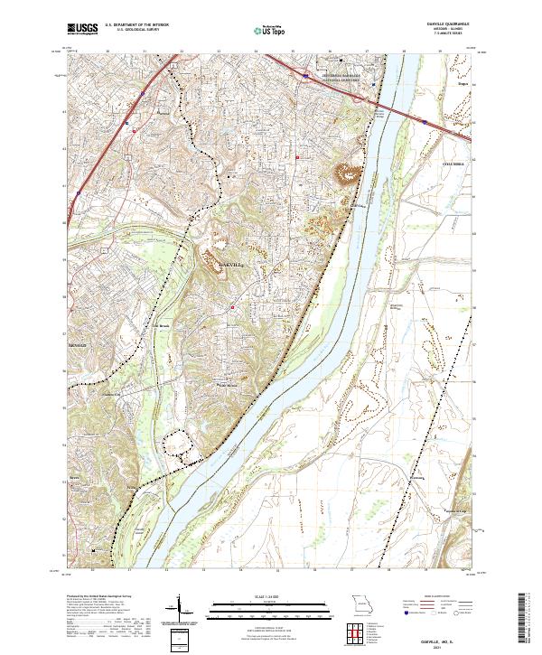 2021 Oakville2021 Print · USGSThe confluence of the Meramec and Mississippi Rivers comes to life in this contemporary study of the Missouri and Illinois borderlands. Genealogists and local historians can trace family markers at Saint Paul Cem or explore the riverfront near Cliff Cave and Chesley Island.
 - 2021 Map of Halifax, 2021 Print
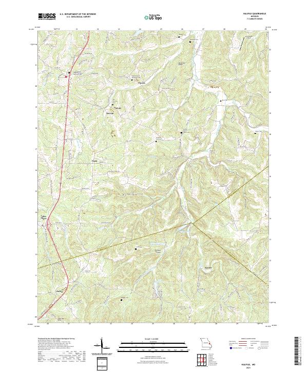 2021 Halifax2021 Print · USGSThe eastern Ozark borderlands are shown in detail as they appeared in 2021, centered on the historic mining and farming communities south of St. Louis. Genealogists and local historians can trace family burial sites at Old German Cem and Porter Cem, or locate long-standing settlements like Flucom and Valles Mines.
 - 2021 Map of Cedar Hill, 2021 Print
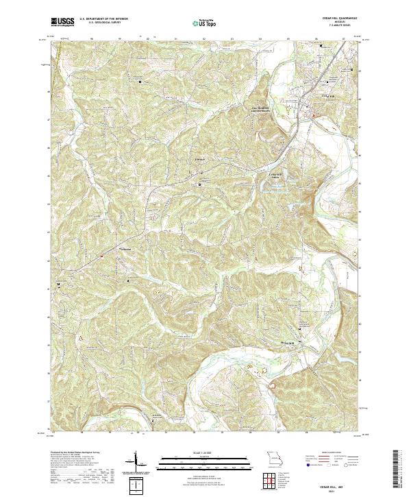 2021 Cedar Hill2021 Print · USGSJefferson County hill country and the Big River valley are shown here in recent years, highlighting a landscape of deep-rooted rural communities. Researchers can trace family history at the Wideman Cem, Bethlehem Church Cem, or the namesake settlement of Morse Mill.
 - 2021 Map of Bloomsdale, 2021 Print
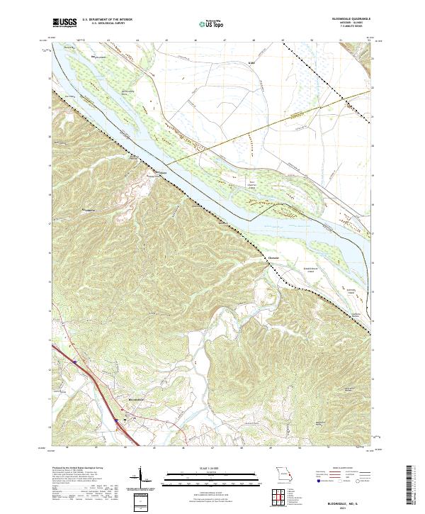 2021 Bloomsdale2021 Print · USGSThe Mississippi River bottoms and Ste. Genevieve County bluffs are shown here in recent detail. Researchers can trace landforms and local history near Bloomsdale, from the Saint Agnes Cem to river features like Fort Chartres Island and Brickeys.
 - 2021 Map of Tiff, 2021 Print
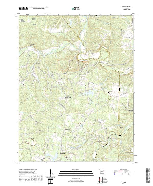 2021 Tiff2021 Print · USGSWashington County at the start of the 2020s shows a landscape deeply shaped by its mining and milling history. Researchers can trace rural lineages through the many family and community burial grounds like Goff Cem and Pinson Cem, or locate old settlements such as Bliss and Bellefontaine.
 - 2021 Map of House Springs, 2021 Print
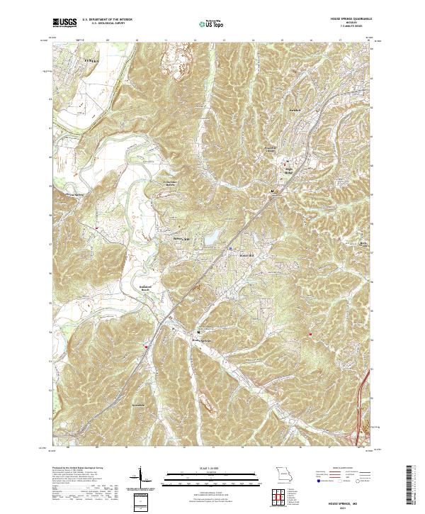 2021 House Springs2021 Print · USGSJefferson County’s river valleys and residential ridges are mapped here in the early 2020s. Researchers can locate family landmarks like Our Lady Queen Of Peace Catholic Cem, the historical footprint of Byrnes Mill, and Rockford Beach along the Big River.
 - 2021 Map of Herculaneum, 2021 Print
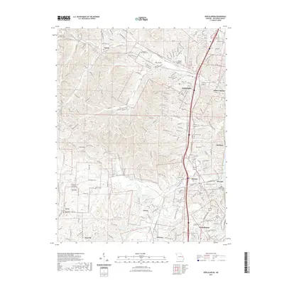 2021 Herculaneum2021 Print · USGSJefferson County settlements near the Mississippi River are shown here in modern detail. Researchers can locate numerous family and church burial grounds like Antonia Cem and the Daniel Dunklin Grave Historic Site alongside the banks of Joachim Creek.
 - 2021 Map of Danby, 2021 Print
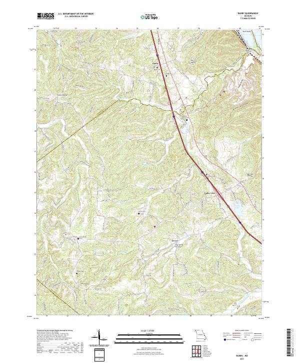 2021 Danby2021 Print · USGSThe eastern Ozark foothills come into focus in the early 2020s, revealing a landscape of winding hollows and rural crossroad communities. Researchers can trace family history through a network of local sites like Lebanon Baptist Cem, Danby Cem, and Skaggs Spring.
 - 2021 Map of Pacific, 2021 Print
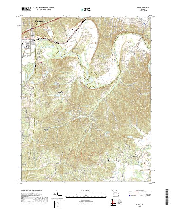 2021 Pacific2021 Print · USGSPacific and Eureka sit at a unique geographic crossroads where three counties meet along the winding Meramec River. Genealogists and local historians can trace family-named sites like Saint Columbkille Cem and the McNamee School Rd.
 - 2021 Map of Lonedell, 2021 Print
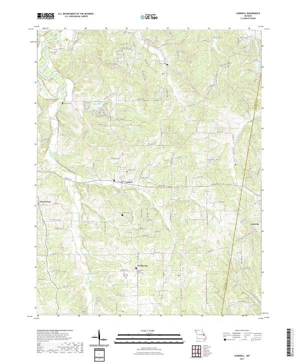 2021 Lonedell2021 Print · USGSFranklin County's rural character is captured here in the early twenty-first century as the Meramec River valleys began seeing new residential clusters. Genealogists can trace family footprints through several burial grounds like Woodcock Cem and Saint Francis of Assisi Catholic Cem.
 - 2021 Map of Kirkwood, 2021 Print
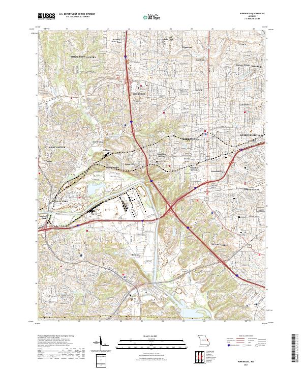 2021 Kirkwood2021 Print · USGSThe suburban landscape south of St. Louis is shown in the early 2020s, a period of dense residential and commercial development. Researchers can trace local heritage through numerous cemeteries like Oak Hill Cem and settlements such as Windsor Springs and Meacham Park.
 - 2023 Map of Herculaneum, 2023 Print
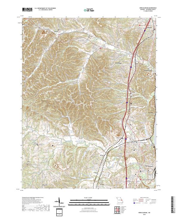 2023 Herculaneum2023 Print · USGSJefferson County settlements along the Mississippi corridor are captured here in their modern context. Researchers can trace family history through a wealth of local sites, from the Daniel Dunklin Grave Historic Site to the Kimmswick Cem and Mahlers Cem.
 - 2024 Map of Valmeyer, 2024 Print
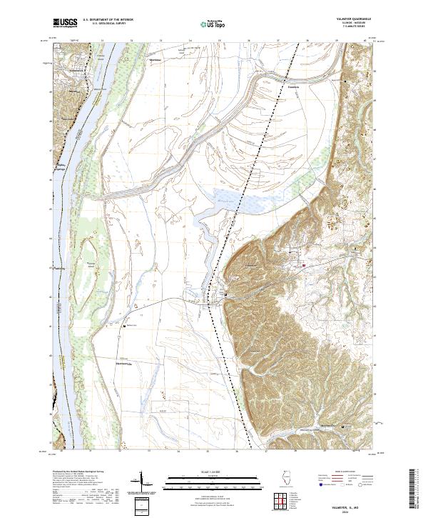 2024 Valmeyer2024 Print · USGSThe Illinois bluffs and Mississippi bottomlands meet in this modern look at a resilient river region. Genealogists can trace family landmarks like Wallace Cem and Saint Johns Cem, or explore the terrain of Potato Hill and Moredock Lake.
End of results
Showing maps 1-23 of 23
Frequently asked questions
- What are the different types of historical maps available for Jefferson County?
- What is the oldest map of Jefferson County?
- Where can I purchase historical maps of Jefferson County for my home or office?
- Where can I download high-res historical maps of Jefferson County?
- Are there historical topographic maps available for Jefferson County?
- Is there historical aerial imagery available for Jefferson County?
- Where are historical maps of Jefferson County sourced from?