2000s (21st Century) Maps of Joachim Township, Missouri
Explore 26 historic maps of Joachim Township from the 2000s (21st Century). These maps offer a rare glimpse into what life looked like during the 2000s — showing old roads, neighborhoods, homes, and landmarks that have changed or disappeared over time.
Whether you're researching your family's past, planning a metal detecting trip, or studying how Joachim Township's landscape evolved across the 2000s, these high-resolution maps are a powerful tool for exploring the history of this region.
- Focus on a specific era: All maps on this page are from the 2000s, giving you a focused view of this time period.
- See what’s changed: Compare century-old streets, trails, and buildings to today's modern landscape using overlays and satellite layers.
- Research with precision: Use these maps for genealogy, historical research, land use analysis, or educational projects.
- View, download, or print: Maps are fully viewable online in high resolution, and can be downloaded or printed for your own records.
Start exploring Joachim Township's history through authentic maps from the 2000s. This is your window into the past.
Joachim Township, MO maps
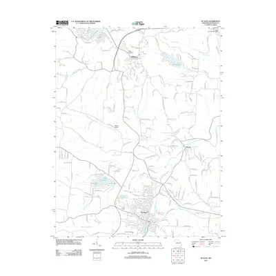
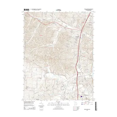
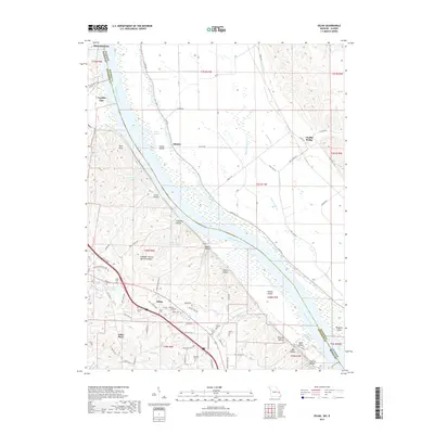
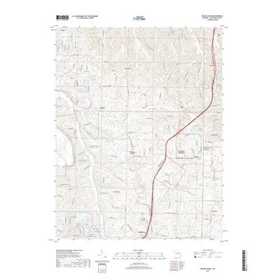
(26)- 2012 Map of Belews Creek, 2012 Print
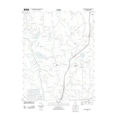 2012 Belews Creek2012 Print · USGSCovers Joachim Township, including Hillsboro, Meramec Township, and other nearby areas
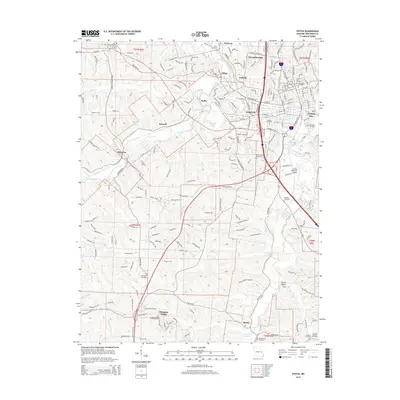
 - 2012 Map of Festus, 2012 Print
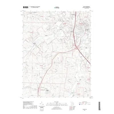
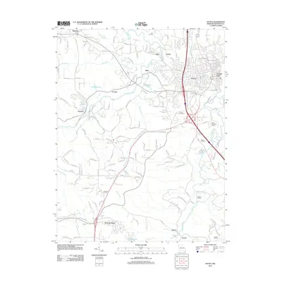 2012 Festus2012 Print · USGSCovers Joachim Township, including Festus, Crystal City, and other nearby areas
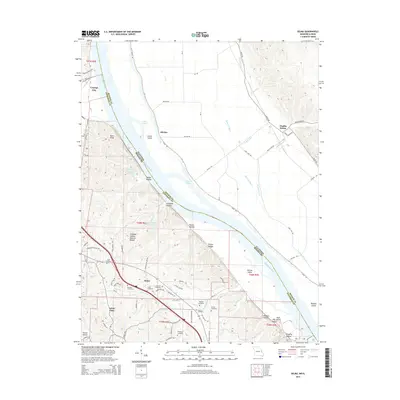
 - 2012 Map of Selma, 2012 Print
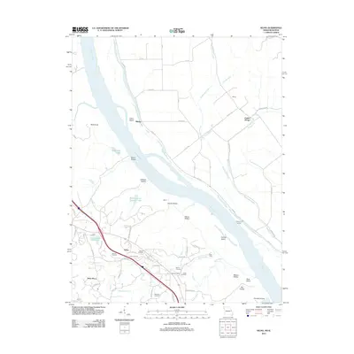 2012 Selma2012 Print · USGSCovers Joachim Township, including Crystal City, Herculaneum, and other nearby areas
 - 2012 Map of Herculaneum, 2012 Print
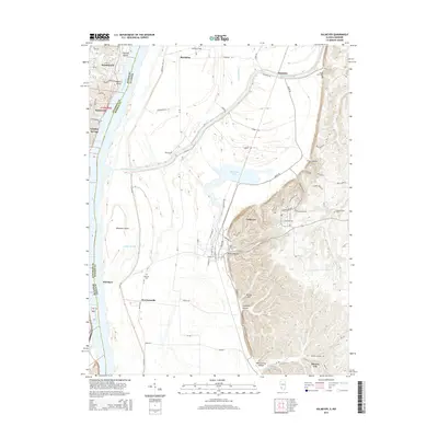
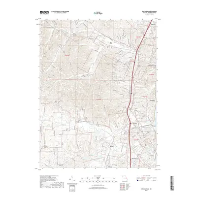
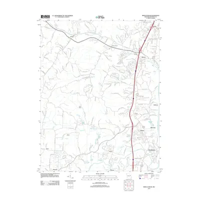 2012 Herculaneum2012 Print · USGSCovers Joachim Township, including Pevely, Imperial, and other nearby areas
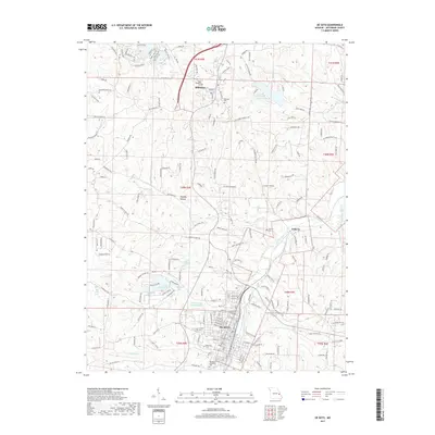
 - 2012 Map of De Soto, 2012 Print
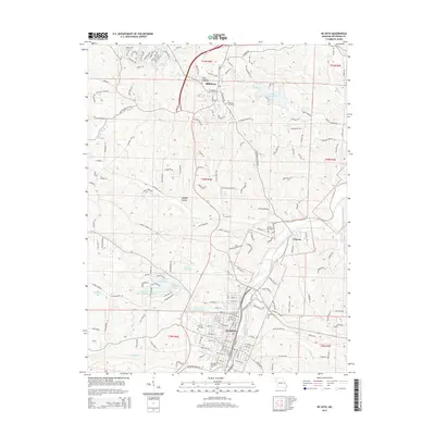
 2012 De Soto2012 Print · USGSCovers Joachim Township, including De Soto, Hillsboro, and other nearby areas
 - 2012 Map of Valmeyer, 2012 Print
 2012 Valmeyer2012 Print · USGSCovers Joachim Township, including Pevely, Herculaneum, and other nearby areas
 - 2015 Map of Festus, 2015 Print
 2015 Festus2015 Print · USGSCovers Joachim Township, including Festus, Crystal City, and other nearby areas
 - 2015 Map of De Soto, 2015 Print
 2015 De Soto2015 Print · USGSCovers Joachim Township, including De Soto, Hillsboro, and other nearby areas
 - 2015 Map of Herculaneum, 2015 Print
 2015 Herculaneum2015 Print · USGSCovers Joachim Township, including Pevely, Imperial, and other nearby areas
 - 2015 Map of Belews Creek, 2015 Print
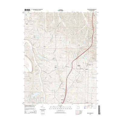 2015 Belews Creek2015 Print · USGSCovers Joachim Township, including Hillsboro, Meramec Township, and other nearby areas
 - 2015 Map of Selma, 2015 Print
 2015 Selma2015 Print · USGSCovers Joachim Township, including Crystal City, Herculaneum, and other nearby areas
 - 2015 Map of Valmeyer, 2015 Print
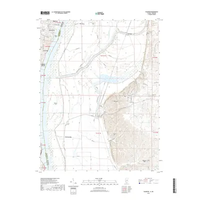
 2015 Valmeyer2015 Print · USGSCovers Joachim Township, including Pevely, Herculaneum, and other nearby areas
 - 2017 Map of Selma, 2017 Print
 2017 Selma2017 Print · USGSCovers Joachim Township, including Crystal City, Herculaneum, and other nearby areas
 - 2017 Map of Festus, 2017 Print
 2017 Festus2017 Print · USGSCovers Joachim Township, including Festus, Crystal City, and other nearby areas
 - 2017 Map of Herculaneum, 2017 Print
 2017 Herculaneum2017 Print · USGSCovers Joachim Township, including Pevely, Imperial, and other nearby areas
 - 2017 Map of Belews Creek, 2017 Print
 2017 Belews Creek2017 Print · USGSCovers Joachim Township, including Hillsboro, Meramec Township, and other nearby areas
 - 2017 Map of De Soto, 2017 Print
 2017 De Soto2017 Print · USGSCovers Joachim Township, including De Soto, Hillsboro, and other nearby areas
 - 2018 Map of Valmeyer, 2018 Print
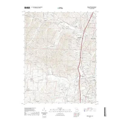
 2018 Valmeyer2018 Print · USGSCovers Joachim Township, including Pevely, Herculaneum, and other nearby areas
 - 2021 Map of Valmeyer, 2021 Print
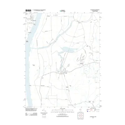
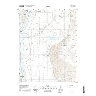 2021 Valmeyer2021 Print · USGSCovers Joachim Township, including Pevely, Herculaneum, and other nearby areas
 - 2021 Map of De Soto, 2021 Print
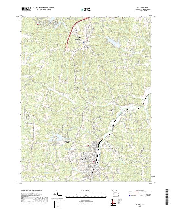 2021 De Soto2021 Print · USGSJefferson County at the start of the 2020s shows a landscape of growing towns and quiet creek valleys. Genealogists and researchers can trace family landmarks like Lone Pilgrim Cem, the Jefferson County Courthouse in Hillsboro, and the streets of DE SOTO.
 - 2021 Map of Festus, 2021 Print
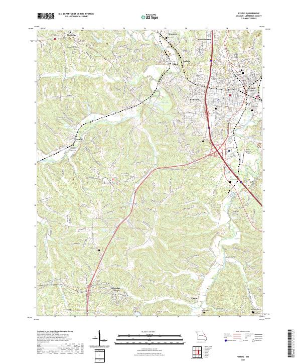 2021 Festus2021 Print · USGSThe interconnected river towns of Jefferson County are shown in the early 2020s as they sprawl across the Joachim and Plattin Creek valleys. Genealogists can trace family sites at Old Crystal City Cem, Telegraph Schoolhouse Cem, and the historic Hematite Christian Church Cem.
 - 2021 Map of Belews Creek, 2021 Print
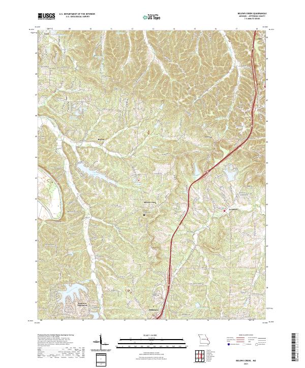 2021 Belews Creek2021 Print · USGSJefferson County’s shifting rural and suburban landscape is captured here in the early 2020s, documenting the area between Hillsboro and Otto. Researchers can trace the development of Raintree Plantation, locate the Glade Chapel Cem, and find the Jefferson College campus.
 - 2021 Map of Selma, 2021 Print
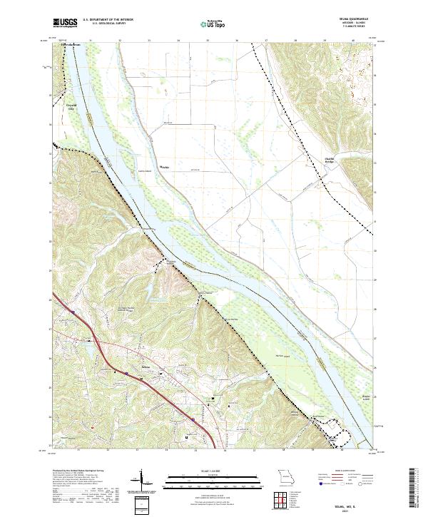 2021 Selma2021 Print · USGSThe bluffs of Jefferson County overlook the Mississippi River and the Illinois bottoms in the early 2020s. Genealogists can trace family names through numerous sites like Barsotti Cem, Wagoner Cem, and the Cliffdale Hollow Natural Bridge.
 - 2021 Map of Herculaneum, 2021 Print
 2021 Herculaneum2021 Print · USGSCovers Joachim Township, including Pevely, Imperial, and other nearby areas
 - 2023 Map of Herculaneum, 2023 Print
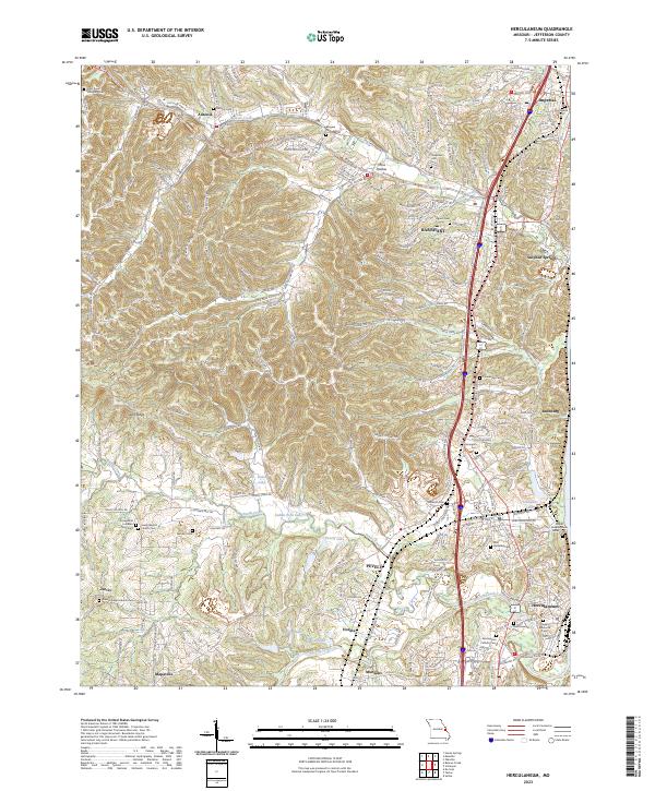 2023 Herculaneum2023 Print · USGSJefferson County settlements along the Mississippi corridor are captured here in their modern context. Researchers can trace family history through a wealth of local sites, from the Daniel Dunklin Grave Historic Site to the Kimmswick Cem and Mahlers Cem.
Showing maps 1-25 of 26
Top cities near Joachim Township
- Oakville historical maps
- Arnold historical maps
- Festus historical maps
- Eureka historical maps
- Columbia historical maps
- Murphy historical maps
See more
Top neighborhoods of Joachim Township
- Mapaville historical maps
- Donnell historical maps
- Jarvis historical maps
- Hematite historical maps
- Horine historical maps
- Bushburg historical maps
See more
Frequently asked questions
- What are the different types of historical maps available for Joachim Township?
- What is the oldest map of Joachim Township?
- Where can I purchase historical maps of Joachim Township for my home or office?
- Where can I download high-res historical maps of Joachim Township?
- Are there historical topographic maps available for Joachim Township?
- Is there historical aerial imagery available for Joachim Township?
- Where are historical maps of Joachim Township sourced from?