Old Maps of Jefferson County, Missouri
Explore 72 old maps of Jefferson County, spanning from 1901 to today. These high-resolution historic maps reveal how streets, neighborhoods, landmarks, and natural features evolved over time — perfect for genealogy, metal detecting, research, and local history exploration.
What you can do with these maps:
- See how Jefferson County changed over time: Compare historical maps to modern-day views to trace roads, homesites, rail lines & more.
- View detailed metadata: Each map includes creators, publishers, year, scale, and archive source.
- Overlay maps with satellite & LiDAR: Visualize the past alongside modern tools to explore terrain & human change.
- Trusted historical sources: Maps sourced from the USGS, Library of Congress, and other archives.
- Access maps your way: View online, download high-res files, or order prints for personal or research use.
Start exploring old maps of Jefferson County to uncover forgotten places, hidden landmarks, and the deep history beneath your feet.
Jefferson County, MO maps
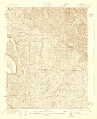
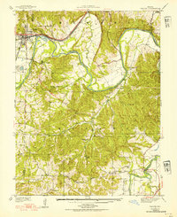
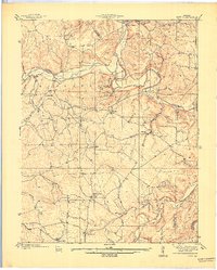
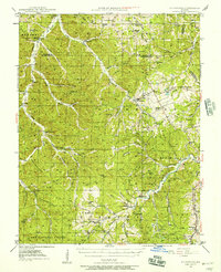
(72)- 1901 Map of De Soto
 1901 De Soto1901 Print · USGSCovers Jefferson County, including Wildwood, Union, and other nearby areas5 unique versions available
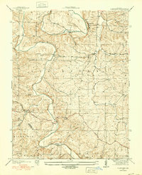
 - 1903 Map of O'Fallon
 1903 O'Fallon1903 Print · USGSCovers Jefferson County, including O'Fallon, Saint Charles, and other nearby areas5 unique versions available
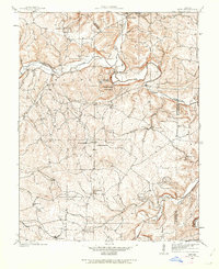
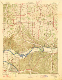
 - 1912 Map of Kimmswick
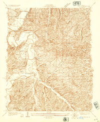
 1912 Kimmswick1912 Print · USGSCovers Jefferson County, including Oakville, Arnold, and other nearby areas2 unique versions available
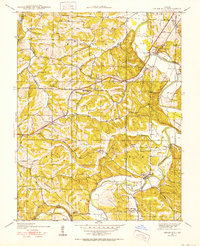
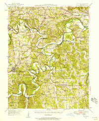
 - 1915 Map of Renault
 1915 Renault1915 Print · USGSCovers Jefferson County, including Sainte Genevieve, Red Bud, and other nearby areas4 unique versions available
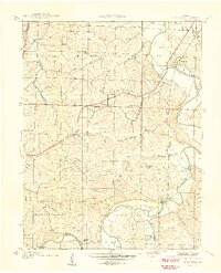
 - 1915 Map of Crystal City
 1915 Crystal City1915 Print · USGSCovers Jefferson County, including Festus, Crystal City, and other nearby areas4 unique versions available
 - 1916 Map of Kimmswick
 1916 Kimmswick1916 Print · USGSCovers Jefferson County, including Oakville, Arnold, and other nearby areas6 unique versions available
 - 1930 Map of De Soto NE
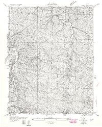
 1930 De Soto NE1930 Print · USGSCovers Jefferson County, including De Soto, Hillsboro, and other nearby areas
 - 1930 Map of Pacific SE
 1930 Pacific SE1930 Print · USGSCovers Jefferson County, including Hillsboro, Cedar Hill, and other nearby areas2 unique versions available
 - 1931 Map of Manchester SE
 1931 Manchester SE1931 Print · USGSCovers Jefferson County, including Chesterfield, Wildwood, and other nearby areas
 - 1931 Map of De Soto SE
 1931 De Soto SE1931 Print · USGSCovers Jefferson County, including De Soto, Blackwell, and other nearby areas2 unique versions available
 - 1931 Map of Pacific NE
 1931 Pacific NE1931 Print · USGSCovers Jefferson County, including Eureka, Murphy, and other nearby areas2 unique versions available
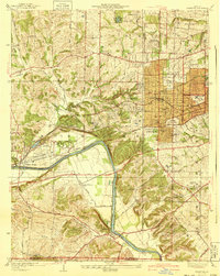
 - 1933 Map of Kirkwood
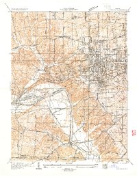 1933 Kirkwood1933 Print · USGSCovers Jefferson County, including Kirkwood, Webster Groves, and other nearby areas
 - 1937 Map of Pacific
 1937 Pacific1937 Print · USGSCovers Jefferson County, including Wildwood, Eureka, and other nearby areas4 unique versions available
 - 1937 Map of Fletcher
 1937 Fletcher1937 Print · USGSCovers Jefferson County, including Valle Township, Ware, and other nearby areas2 unique versions available
 - 1937 Map of Tiff, 1962 Print
 1937 Tiff1962 Print · USGSCovers Jefferson County, including Maddens Richwoods, Bliss, and other nearby areas
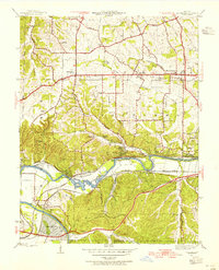
 - 1938 Map of Cedar Hill
 1938 Cedar Hill1938 Print · USGSCovers Jefferson County, including Cedar Hill Lakes, Cedar Hill, and other nearby areas2 unique versions available
 - 1938 Map of Fletcher
 1938 Fletcher1938 Print · USGSCovers Jefferson County, including Valle Township, Ware, and other nearby areas
 - 1939 Map of Tiff
 1939 Tiff1939 Print · USGSCovers Jefferson County, including Maddens Richwoods, Bliss, and other nearby areas2 unique versions available
 - 1940 Map of Cedar Hill
 1940 Cedar Hill1940 Print · USGSCovers Jefferson County, including Cedar Hill Lakes, Cedar Hill, and other nearby areas
 - 1940 Map of Kirkwood
 1940 Kirkwood1940 Print · USGSCovers Jefferson County, including Kirkwood, Webster Groves, and other nearby areas3 unique versions available
 - 1940 Map of Renault, 1955 Print
 1940 Renault1955 Print · USGSCovers Jefferson County, including Sainte Genevieve, Red Bud, and other nearby areas2 unique versions available
 - 1945 Map of Manchester, 1955 Print
 1945 Manchester1955 Print · USGSCovers Jefferson County, including Chesterfield, Wildwood, and other nearby areas
 - 1946 Map of Richwoods, 1957 Print
 1946 Richwoods1957 Print · USGSCovers Jefferson County, including Hurricane, Ebo, and other nearby areas3 unique versions available
 - 1947 Map of Manchester
 1947 Manchester1947 Print · USGSCovers Jefferson County, including Chesterfield, Wildwood, and other nearby areas2 unique versions available
 - 1947 Map of St. Clair, 1950 Print
 1947 St. Clair1950 Print · USGSCovers Jefferson County, including Union, Pacific, and other nearby areas3 unique versions available
Showing maps 1-25 of 72
Frequently asked questions
- What are the different types of historical maps available for Jefferson County?
- What is the oldest map of Jefferson County?
- Where can I purchase historical maps of Jefferson County for my home or office?
- Where can I download high-res historical maps of Jefferson County?
- Are there historical topographic maps available for Jefferson County?
- Is there historical aerial imagery available for Jefferson County?
- Where are historical maps of Jefferson County sourced from?