2000s (21st Century) Maps of Lincoln County, Missouri
Explore 81 historic maps of Lincoln County from the 2000s (21st Century). These maps offer a rare glimpse into what life looked like during the 2000s — showing old roads, neighborhoods, homes, and landmarks that have changed or disappeared over time.
Whether you're researching your family's past, planning a metal detecting trip, or studying how Lincoln County's landscape evolved across the 2000s, these high-resolution maps are a powerful tool for exploring the history of this region.
- Focus on a specific era: All maps on this page are from the 2000s, giving you a focused view of this time period.
- See what’s changed: Compare century-old streets, trails, and buildings to today's modern landscape using overlays and satellite layers.
- Research with precision: Use these maps for genealogy, historical research, land use analysis, or educational projects.
- View, download, or print: Maps are fully viewable online in high resolution, and can be downloaded or printed for your own records.
Start exploring Lincoln County's history through authentic maps from the 2000s. This is your window into the past.
Lincoln County, MO maps
(81)- 2011 Map of Okete, 2011 Print
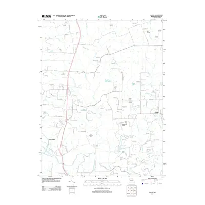 2011 Okete2011 Print · USGSLincoln County’s rolling river bluffs and rural farmsteads are documented here in the early twenty-first century. Genealogists can locate numerous family burial sites like Old Alexandria Cemetery and Hamilton Cemetery near the communities of Okete and Brussels.
 - 2011 Map of Elsberry, 2011 Print
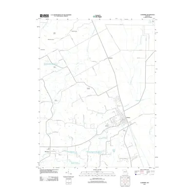 2011 Elsberry2011 Print · USGSLincoln County, Missouri, is shown here as it transitioned into the early twenty-first century, balancing rural homesteads with sophisticated watershed management. Researchers can locate family landmarks like Oak Ridge Cemetery, Barton School, and the Vance-Seaman Cemetery.
 - 2011 Map of Foley, 2011 Print
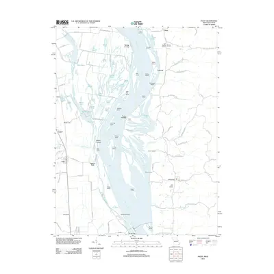 2011 Foley2011 Print · USGSThe Mississippi River bottoms near the Missouri-Illinois border are revealed here just after the turn of the century. Genealogists and local historians can trace family roots at Wilson Cemetery or explore old river sites like Sterling Landing and Kritesville.
 - 2011 Map of Auburn, 2011 Print
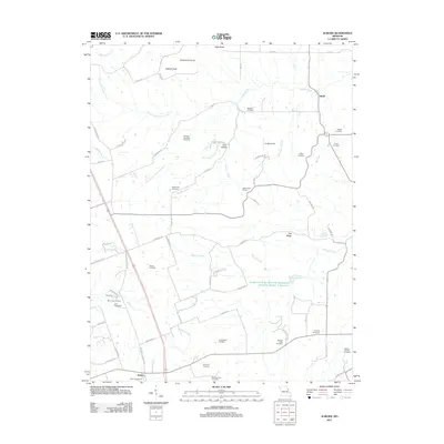 2011 Auburn2011 Print · USGSThe rural landscape near Auburn and Sledd was carefully documented just after the turn of the millennium. Genealogists can locate numerous family-named burial grounds like Mitchell Cemetery, Nelson-Cannon Cemetery, and the White Swan School.
 - 2011 Map of Luckett Ridge, 2011 Print
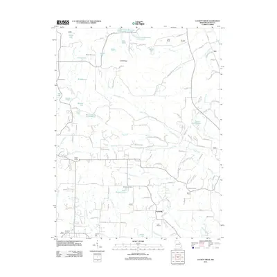 2011 Luckett Ridge2011 Print · USGSLincoln County rural life is captured here in the early twenty-first century, showing a landscape of small farms and family-named landmarks. Genealogists can locate legacy sites like Cornick School, Argentville, and over ten burial grounds including McCullen Cemetery and Wilson Cemetery.
 - 2012 Map of Maryknoll, 2012 Print
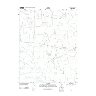 2012 Maryknoll2012 Print · USGSEastern Lincoln County is shown here in the early twenty-first century as its rural settlements and riverfront communities continue to evolve. Researchers can locate family landmarks like Rybolt Cemetery, trace the Cuivre River bank, or find the Chantilla Post Office.
 - 2012 Map of Troy, 2012 Print
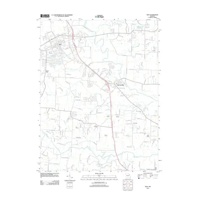 2012 Troy2012 Print · USGSTroy and the surrounding Lincoln County countryside appear here in the early twenty-first century as suburban growth meets a historic rural landscape. Researchers can locate numerous family burial grounds like Frieden Cemetery and Wade Cemetery along the banks of the Cuivre River.
 - 2012 Map of Foristell, 2012 Print
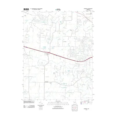 2012 Foristell2012 Print · USGSForistell and Pauldingville are shown during a period of transition in the early 2010s as suburban reach extends into the countryside. Researchers can pinpoint Metcalf Cemetery, trace the path of Peruque Creek, and locate the Mid America Raceway.
 - 2012 Map of Warrenton NE, 2012 Print
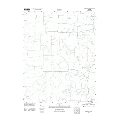 2012 Warrenton NE2012 Print · USGSNortheast of Warrenton in the early twenty-first century, this landscape is a patchwork of family farms and sprawling rural homesteads. Genealogists can locate several small family burial grounds, including the Old Davis Cemetery, Indian Camp Cemetery, and Douglas Cemetery.
 - 2012 Map of Wright City, 2012 Print
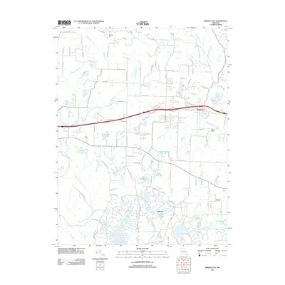 2012 Wright City2012 Print · USGSWright City and the surrounding Warren County countryside are captured here in the early 21st century as suburban development meets rural tradition. Genealogists and local historians can trace the area's growth through landmarks like Mount Airy Cemetery, the private waters of Innsbrook, and Midway Vlg.
 - 2012 Map of Bellflower South, 2012 Print
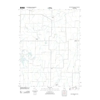 2012 Bellflower South2012 Print · USGSThe rural expanses of Montgomery County appear here in the early twenty-first century as a landscape of family-named creeks and quiet crossroads. Genealogists can locate several local burial sites, including the Baptist Cemetery of Bellflower and Saint Paul Cemetery, while tracing the reaches of Prices Branch and Little Bear Creek.
 - 2012 Map of Hawk Point, 2012 Print
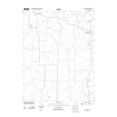 2012 Hawk Point2012 Print · USGSHawk Point and New Truxton are documented in the early twenty-first century, revealing a landscape defined by ancestral burial grounds and prairie creek systems. Genealogists can locate several family sites including Saint Marys Cemetery, Copher Cemetery, and Elmore Cemetery.
 - 2012 Map of Truxton, 2012 Print
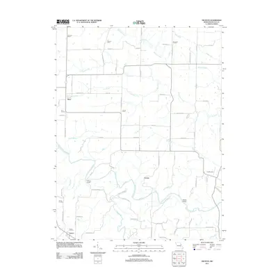 2012 Truxton2012 Print · USGSLincoln County at the start of the 2010s reveals a quiet agricultural landscape shaped by the West Fork Cuivre River. Genealogists and local historians can map out rural life via Old Liberty Cemetery, Patterson School, and Millsap Bridge.
 - 2012 Map of New Hartford, 2012 Print
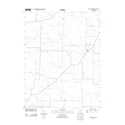 2012 New Hartford2012 Print · USGSIn the early twenty-first century, Pike County maintains its deeply rooted rural character through small settlements and family-named landmarks. Genealogists and local historians can trace the sites of the Hopke School and Union School or locate family burial grounds like Harelson Cemetery and Willis Cemetery.
 - 2012 Map of Silex, 2012 Print
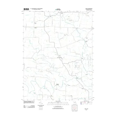 2012 Silex2012 Print · USGSThe forks of the Cuivre River meet in this Lincoln County landscape during the early twenty-first century. Genealogists and local historians can trace family roots through numerous sites like Sitton Cemetery, Wommacks Ford, and the settlement of Millwood.
 - 2012 Map of Eolia, 2012 Print
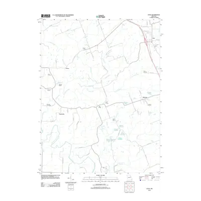 2012 Eolia2012 Print · USGSThe Pike County uplands south of Eolia are shown in this 2012 survey, capturing a landscape of family cemeteries and rural school sites. Genealogists and hikers can trace connections at the Lewis-Meriwether Cemetery, Prairie Flower School, and the Natural Bridge.
 - 2012 Map of Bellflower North, 2012 Print
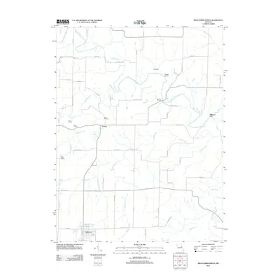 2012 Bellflower North2012 Print · USGSThe area around Bellflower and Gamma is documented here just after the turn of the millennium. Genealogists can locate several family cemeteries, including Mabry and Pontlow, or trace the winding course of the West Fork Cuivre River.
 - 2012 Map of Winfield, 2012 Print
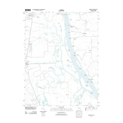 2012 Winfield2012 Print · USGSThe Missouri-Illinois borderlands come into focus in the early twenty-first century, documenting a riverine landscape of shifting islands and historic ferry crossings. Genealogists and historians can trace family locations near Old Monroe, the West Point Ferry, and the Old Monroe Mounds.
 - 2012 Map of Louisville, 2012 Print
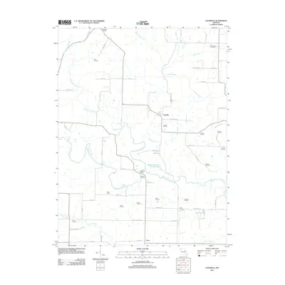 2012 Louisville2012 Print · USGSSettlement in this Lincoln County corridor was firmly established by the early 2010s around the quiet hubs of Louisville and Corso. Researchers can trace generations of local families through numerous burial sites like Grimmett Cemetery and landmarks such as Bilbro School.
 - 2012 Map of Hamburg, 2012 Print
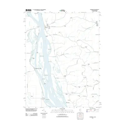 2012 Hamburg2012 Print · USGSAlong the Illinois-Missouri border in the early 2010s, the river landscape remains defined by its islands and historic ferry crossings. Researchers can trace family sites like Mount Hope Cem and follow the old river ways through Old Westport Landing and Hamburg.
 - 2014 Map of New Hartford, 2014 Print
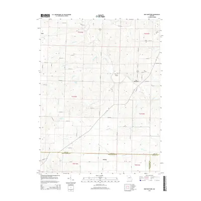 2014 New Hartford2014 Print · USGSPike and Montgomery counties are captured in this mid-2010s survey, showing the agricultural heartland of northern Missouri. Genealogists can locate several small family burial sites, including Willis Cemetery and Kerr Cemetery, alongside the rural hubs of New Hartford and Marling.
 - 2014 Map of Truxton, 2014 Print
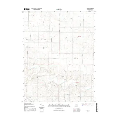 2014 Truxton2014 Print · USGSThe rolling hills of eastern Missouri are captured here in the early 2010s, centered on the community of Truxton. Researchers can trace rural lineages through local landmarks like Millsap Bridge, Owings Cemetery, and Olney Cemetery.
 - 2014 Map of Bellflower North, 2014 Print
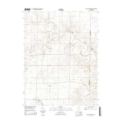 2014 Bellflower North2014 Print · USGSBellflower and the surrounding river valleys are captured here in the early twenty-first century, showcasing the rural landscape of Montgomery and Lincoln Counties. Researchers can locate several historic burial grounds like Macedonia Cemetery or trace the course of the West Fork Cuivre River past Stillhouse Ford.
 - 2014 Map of Louisville, 2014 Print
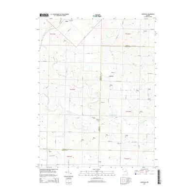 2014 Louisville2014 Print · USGSLincoln and Pike Counties are shown in the early twenty-first century, centered on the historic crossroads of Louisville and Corso. Researchers can trace dozens of family burial sites including Grimmett Cemetery, Jamieson Cemetery, and Worthington Cemetery.
 - 2014 Map of Auburn, 2014 Print
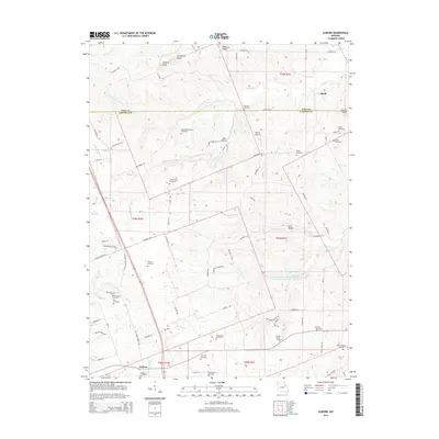 2014 Auburn2014 Print · USGSThe Pike and Lincoln County border comes alive in this mid-2010s survey of rural Missouri townships. Genealogists can trace family heritage through nearly a dozen distinct burial sites, including Mitchell-Reynolds Cemetery, Elsberry Cemetery, and Downing Cemetery.
Showing maps 1-25 of 81
Top cities of Lincoln County
- Troy historical maps
- Elsberry historical maps
- Moscow Mills historical maps
- Winfield historical maps
- Hawk Point historical maps
- Old Monroe historical maps
See more
Frequently asked questions
- What are the different types of historical maps available for Lincoln County?
- What is the oldest map of Lincoln County?
- Where can I purchase historical maps of Lincoln County for my home or office?
- Where can I download high-res historical maps of Lincoln County?
- Are there historical topographic maps available for Lincoln County?
- Is there historical aerial imagery available for Lincoln County?
- Where are historical maps of Lincoln County sourced from?