2020s Maps of Lincoln County, Missouri
Explore 21 historic maps of Lincoln County from the 2020s. These maps offer a rare glimpse into what life looked like during the 2020s — showing old roads, neighborhoods, homes, and landmarks that have changed or disappeared over time.
Whether you're researching your family's past, planning a metal detecting trip, or studying how Lincoln County's landscape evolved across the 2020s, these high-resolution maps are a powerful tool for exploring the history of this region.
- Focus on a specific era: All maps on this page are from the 2020s, giving you a focused view of this time period.
- See what’s changed: Compare century-old streets, trails, and buildings to today's modern landscape using overlays and satellite layers.
- Research with precision: Use these maps for genealogy, historical research, land use analysis, or educational projects.
- View, download, or print: Maps are fully viewable online in high resolution, and can be downloaded or printed for your own records.
Start exploring Lincoln County's history through authentic maps from the 2020s. This is your window into the past.
Lincoln County, MO maps
(21)- 2021 Map of Hamburg, 2021 Print
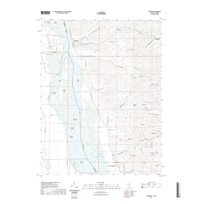 2021 Hamburg2021 Print · USGSThe Illinois-Missouri borderlands along the Mississippi River are shown here in detail during the early 2020s. Genealogists and historians can trace the bluff-side community of Hamburg, locate family plots at Gresham Cem, and explore the river's many reaches from Thomas Chute to Birch Island.
 - 2021 Map of Foley, 2021 Print
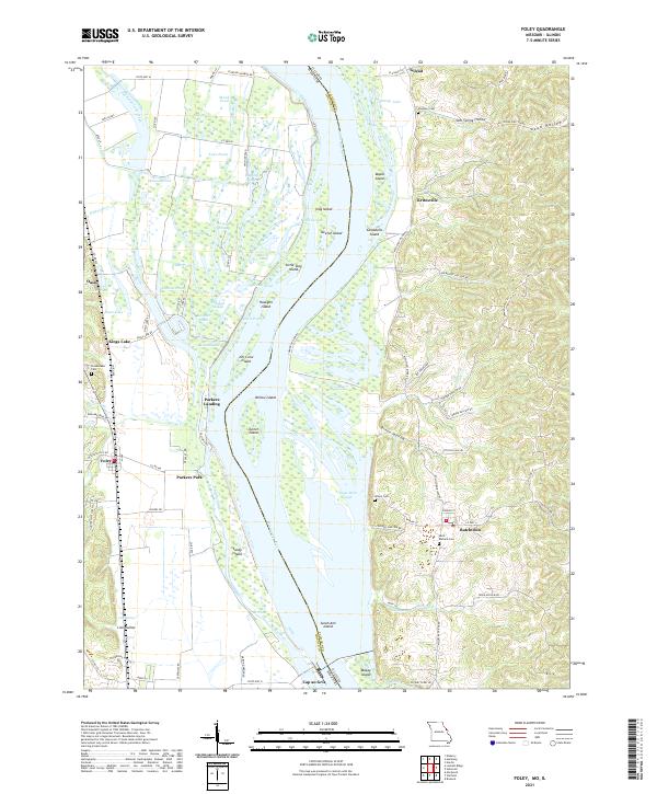 2021 Foley2021 Print · USGSThis riverfront landscape on the Missouri-Illinois border highlights the complex island and slough systems of the Mississippi River in the early 2020s. Researchers can trace local history through river settlements like Batchtown and Foley, or locate family sites at Saint Barbara Cem and Plummer Cem.
 - 2021 Map of Elsberry, 2021 Print
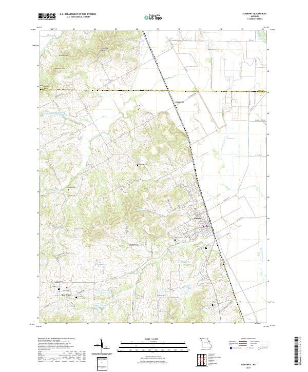 2021 Elsberry2021 Print · USGSThe bluffs above the Mississippi River valley are well-defined in this recent survey of the Elsberry area. Genealogists and local historians can trace family roots through numerous burial grounds like New Hope Cem, Palmer Cem, and Cox Cem.
 - 2021 Map of Luckett Ridge, 2021 Print
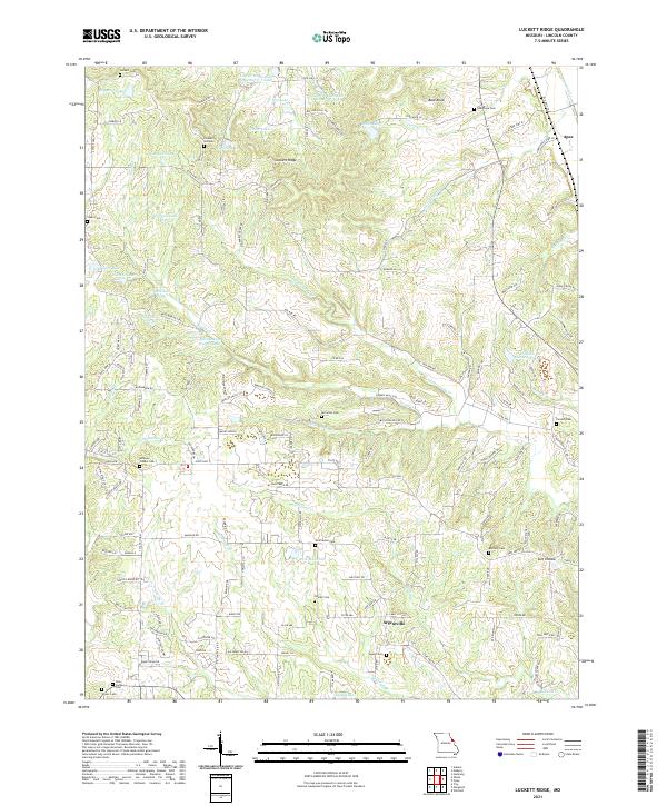 2021 Luckett Ridge2021 Print · USGSLincoln County at the start of the 2020s shows a landscape of deep-rooted family history and managed watersheds. Genealogists can trace historic burial sites at Star Hope Cem and Corinth Cem, or locate landmarks near Argentville and Luckett Ridge.
 - 2021 Map of Okete, 2021 Print
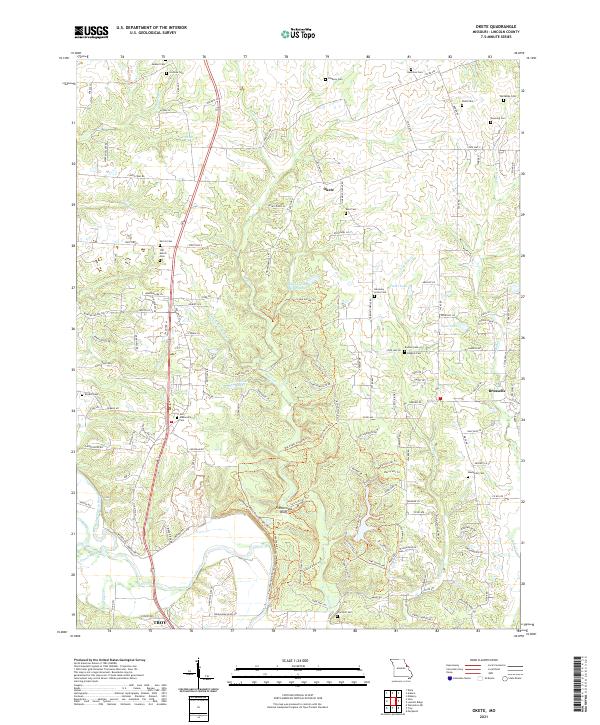 2021 Okete2021 Print · USGSLincoln County in the early 2020s remains a landscape of historic family farmsteads and quiet creek bottoms along Sugar Creek. Genealogists and historians can trace dozens of local burial sites like Davis Cem and Thornhill Cem while exploring landmarks like Frenchman Bluff.
 - 2021 Map of Auburn, 2021 Print
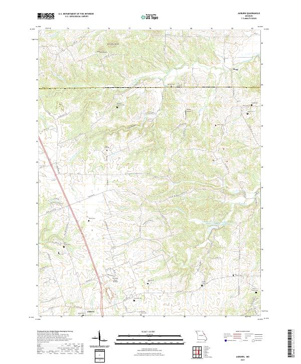 2021 Auburn2021 Print · USGSLincoln and Pike Counties at the start of the 2020s reveal a deeply rooted rural landscape of family farms and ancestral burial grounds. Genealogists can trace family names at Elsberry Cemetery, Mitchell-Reynolds Cemetery, and the old crossroads of Auburn.
 - 2021 Map of Troy, 2021 Print
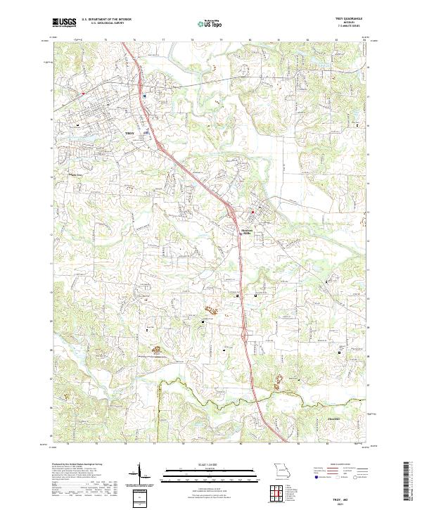 2021 Troy2021 Print · USGSLincoln County enters the twenty-first century as a growing landscape of riverfront communities and historic family lands. Genealogists can locate several remote burial sites including Frieden Cem and Ross Cem, or trace the residential sprawl near Moscow Mills.
 - 2021 Map of Maryknoll, 2021 Print
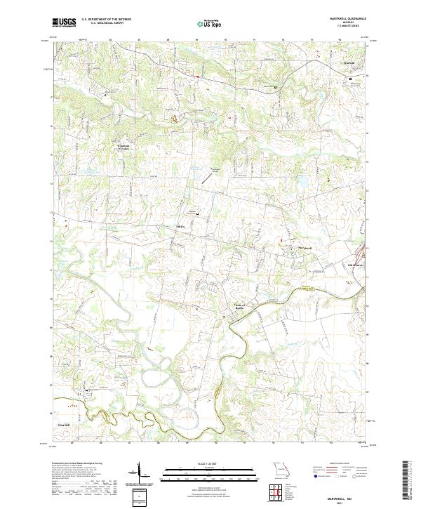 2021 Maryknoll2021 Print · USGSLincoln and St. Charles counties meet along the Cuivre River in this recent survey of eastern Missouri. Family historians and researchers can locate several rural burial grounds such as Rybolt Cem and trace the proximity of Old Monroe to the river at Chain of Rocks.
 - 2021 Map of Winfield, 2021 Print
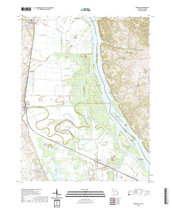 2021 Winfield2021 Print · USGSThe Mississippi River corridor between Missouri and Illinois is captured in this 2021 topographic record, showing the river’s influence on the local settlements and landscape. Genealogists can locate family-named sites like Minesinger Cem and trace old river routes near the Winfield Ferry.
 - 2021 Map of Foristell, 2021 Print
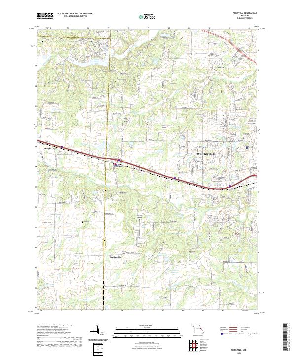 2021 Foristell2021 Print · USGSSettlement growth and rural landscapes meet in the 2020s near the St. Charles and Warren County line. Researchers can trace family history at Oak Grove Cemetery or locate landmarks like Incline Village Lake and Flint Hill.
 - 2021 Map of Eolia, 2021 Print
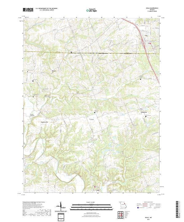 2021 Eolia2021 Print · USGSThe Pike and Lincoln County border comes alive in this contemporary survey, showing the agricultural heartland between Eolia and Silex. Researchers can trace local heritage through numerous family burial sites like Morris Cem and the Lewis Meriwether Cem.
 - 2021 Map of Warrenton NE, 2021 Print
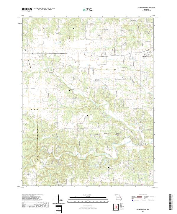 2021 Warrenton NE2021 Print · USGSLincoln and Warren counties appear here in the early 2020s, showing a rural landscape where old family burial grounds meet modern airstrips. Genealogists and local historians can trace legacy sites like Indian Camp Cem, Douglas Cem, and Slavens Cem near the waters of Hickory Lick Cr.
 - 2021 Map of Louisville, 2021 Print
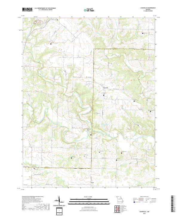 2021 Louisville2021 Print · USGSThe Pike and Lincoln county line comes alive in this contemporary survey of Missouri's rural heartland. Genealogists and local historians can trace family land and burial sites across dozens of named landmarks like Grimmett Cem, Corso, and Grimmett Bridge.
 - 2021 Map of New Hartford, 2021 Print
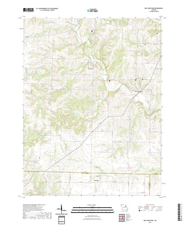 2021 New Hartford2021 Print · USGSNear the intersection of three Missouri counties in the early twenty-first century, this landscape remains a deeply rural agricultural patchwork. Genealogists and historians can locate numerous small family burial sites like Willis Cem and Wright Cem along with the settlements of New Hartford and Marling.
 - 2021 Map of Truxton, 2021 Print
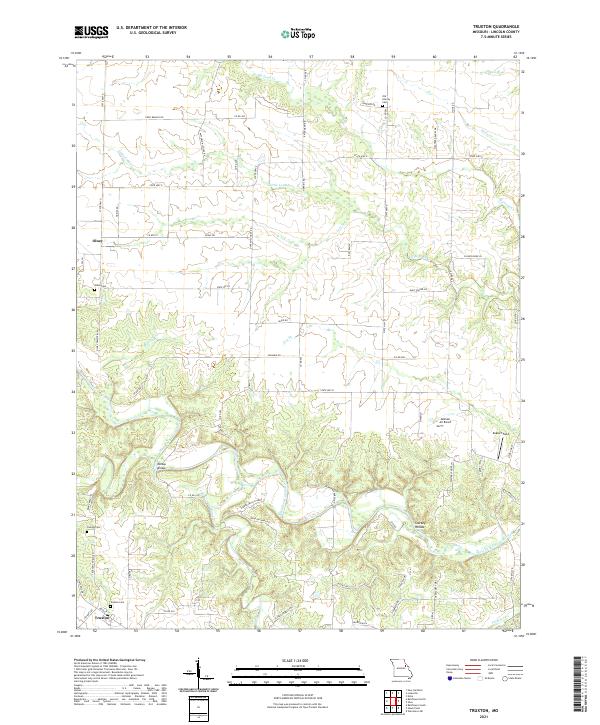 2021 Truxton2021 Print · USGSLincoln County, Missouri, is captured here in a detailed survey of the rural landscape between Truxton and Olney. Researchers can trace family history at the Old Liberty Cem or locate historical landmarks like Millsap Bridge along the West Fork Cuivre River.
 - 2021 Map of Bellflower South, 2021 Print
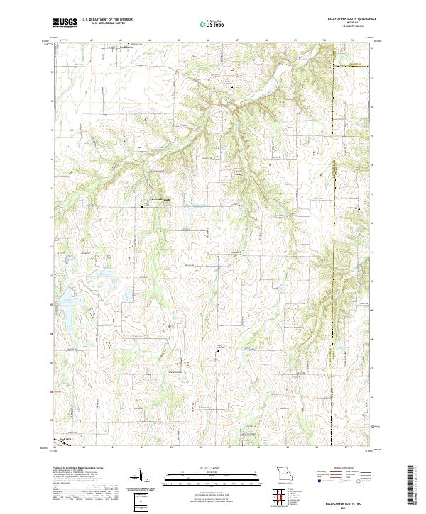 2021 Bellflower South2021 Print · USGSEastern Montgomery County is shown in detail during the early 2020s, highlighting the rural communities and county lines. Local historians can trace family roots through the Bellflower Cem, Prices Branch Cem, and the small settlement at High Hill.
 - 2021 Map of Hawk Point, 2021 Print
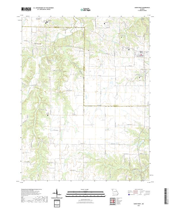 2021 Hawk Point2021 Print · USGSLincoln and Warren Counties are captured here in a contemporary rural light, showing the enduring agricultural character of the Missouri interior. Researchers can find numerous family burial sites like Anson Cemetery and landmarks such as Cannon Spring or Starkey Hollow.
 - 2021 Map of Wright City, 2021 Print
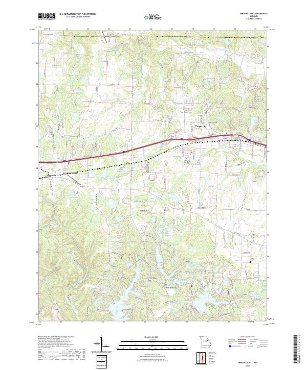 2021 Wright City2021 Print · USGSWright City and the Interstate 70 corridor are shown here in the early 2020s as residential growth expands near the Warren and Lincoln county lines. Genealogists and historians can locate legacy sites like Harmonie Church Cem and Mount Airy Cem among modern developments.
 - 2021 Map of Silex, 2021 Print
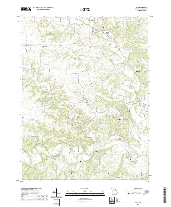 2021 Silex2021 Print · USGSLincoln County centers on the convergence of the Cuivre River forks in the early 2020s. Researchers can locate numerous historic burial sites like Saint Marys Cem and Sitton Cem, or trace the rural roads connecting Silex and Millwood.
 - 2021 Map of Bellflower North, 2021 Print
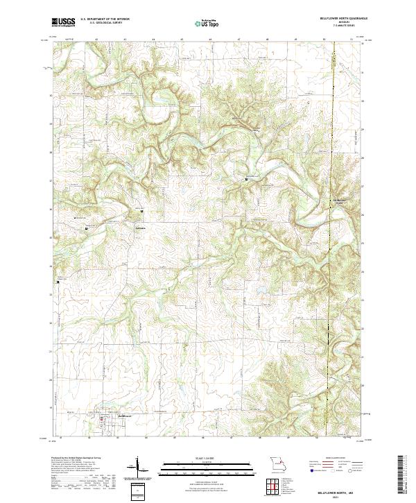 2021 Bellflower North2021 Print · USGSThe rural Montgomery County landscape south of the Cuivre River appears in detail just after the turn of the twenty-first century. Genealogists and local historians can trace family connections at Macedonia Cem, Union Chapel Cem, and the river crossing at Stillhouse Ford.
 - 2024 Map of Hamburg, 2024 Print
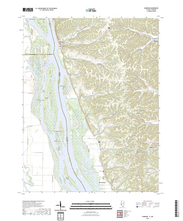 2024 Hamburg2024 Print · USGSCalhoun County's river-driven landscape is on full display in this 2024 survey of the Illinois-Missouri border. Local historians can trace family plots at Oak Grove Cem and Gresham Cem or explore the shifting island geography of Westport Island and Kickapoo Island.
End of results
Showing maps 1-21 of 21
Top cities of Lincoln County
- Troy historical maps
- Elsberry historical maps
- Moscow Mills historical maps
- Winfield historical maps
- Hawk Point historical maps
- Old Monroe historical maps
See more
Frequently asked questions
- What are the different types of historical maps available for Lincoln County?
- What is the oldest map of Lincoln County?
- Where can I purchase historical maps of Lincoln County for my home or office?
- Where can I download high-res historical maps of Lincoln County?
- Are there historical topographic maps available for Lincoln County?
- Is there historical aerial imagery available for Lincoln County?
- Where are historical maps of Lincoln County sourced from?