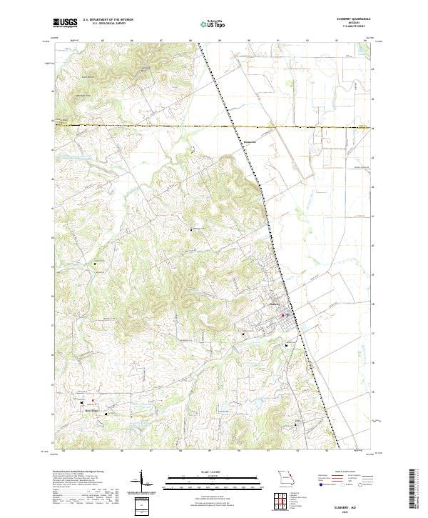
2021 Map of Elsberry
USGS Topo · Published 2021About this map
The Mississippi River valley bluffs dominate this landscape, where the town of Elsberry sits at the foot of high ground overlooking the drainage of Old Kings Lake Cr. To the north, the terrain rises toward Saltpeter Bluff and several distinct peaks like Woodson Knob and Purtle Knob, marking the rugged transition from the river bottomlands to the uplands. The area is characterized by numerous small rural cemeteries, including Oak Ridge Cem, Cannon Cem, and the Vance-Seaman Cem, which provide significant genealogical value for local families.
Find a feature on this map
85 named features on this map. Tap any name to fly to it.
Don’t see what you’re looking for? This feature index may not catch every label — zoom into the map to look around manually.
Map Details
Editions of this 2021 Elsberry Map
This is the sole edition of this map. No revisions or reprints were ever made.
Other maps of this area

1930 · Pearl
USGS Topo · 1:62,500

1930 · Nebo
USGS Topo · 1:62,500

1930 · Hardin
USGS Topo · 1:62,500

1934 · Nebo
USGS Topo · 1:48,000

1934 · Elsberry
USGS Topo · 1:48,000

1934 · Hardin
USGS Topo · 1:62,500

1938 · Hardin
USGS Topo · 1:62,500

1942 · Nebo
USGS Topo · 1:62,500

1942 · Elsberry
USGS Topo · 1:62,500

1948 · Quincy
USGS Topo · 1:250,000