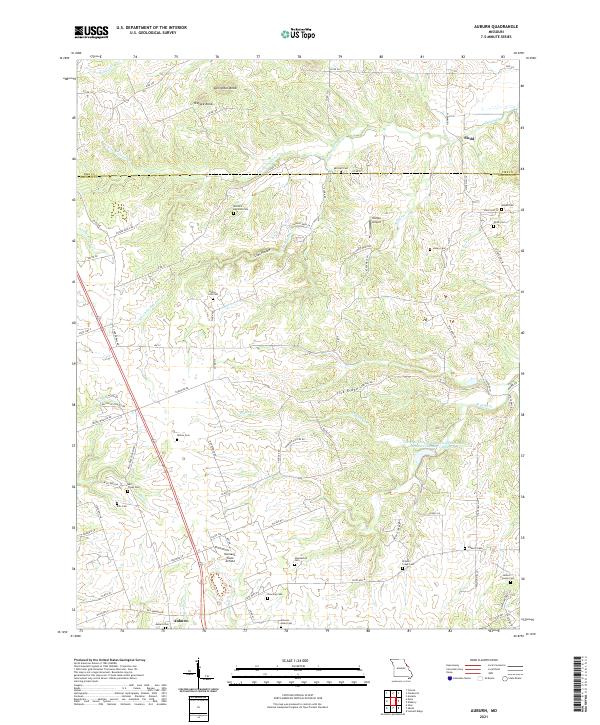
2021 Map of Auburn
USGS Topo · Published 2021About this map
Auburn and the nearby crossroads of Sledd anchor this survey of the Missouri landscape along the border of Pike and Lincoln Counties. The terrain is defined by a dense network of drainages including Bryants Creek and North Fork Guinns Creek, which cut through the high ground of Springston Knob and Tedlock Knob. For local historians and genealogists, the map is remarkably dense with family-named cemeteries such as Mitchell-Reynolds Cemetery, Elsberry Cemetery, and Howdeshell Cemetery, indicating long-standing rural family settlements across the ridges and hollows.
Find a feature on this map
93 named features on this map. Tap any name to fly to it.
Don’t see what you’re looking for? This feature index may not catch every label — zoom into the map to look around manually.
Map Details
Editions of this 2021 Auburn Map
This is the sole edition of this map. No revisions or reprints were ever made.
Other maps of this area

1890 · Louisiana
USGS Topo · 1:125,000

1930 · Nebo
USGS Topo · 1:62,500

1934 · Nebo
USGS Topo · 1:48,000

1934 · Elsberry
USGS Topo · 1:48,000

1937 · Silex
USGS Topo · 1:62,500

1937 · Bowling Green
USGS Topo · 1:62,500

1939 · Silex
USGS Topo · 1:48,000

1940 · Bowling Green
USGS Topo · 1:62,500

1942 · Nebo
USGS Topo · 1:62,500

1942 · Elsberry
USGS Topo · 1:62,500