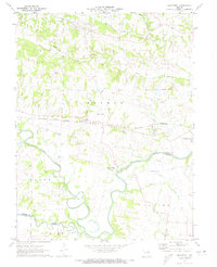
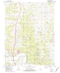
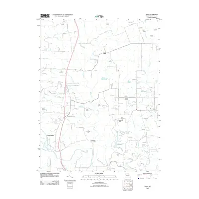
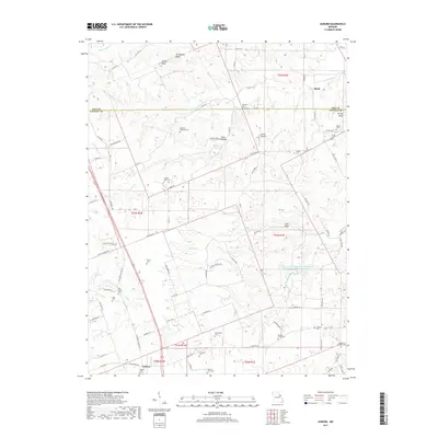
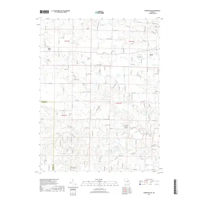
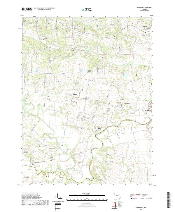
1972 Map of Maryknoll
USGS Topo · Published 1973About this map
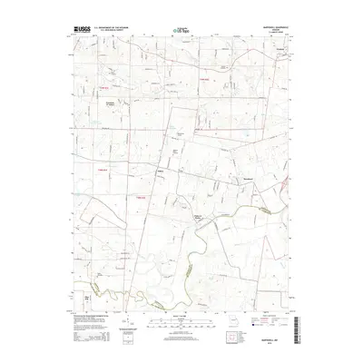
The Cuivre River defines the southern portion of this Missouri landscape, winding past the village of Chain of Rocks and the border between Lincoln and St. Charles counties. In the early 1970s, this area was characterized by a transition from the agricultural uplands of Monroe township to the river lowlands, marked by the distinctive Flatwoods terrain. Local transport and industry are evident through the Burlington Northern rail line and the presence of a Landing Strip and Quarry near the center of the sheet. Community life centers on small settlements like Ethlyn and Old Monroe, supported by rural congregations at True Gospel Ch, Highland Prairie Ch, and St Pauls Ch. An Old Grade road and several utility Pipelines cut across the drainage basins of Bobs Creek and Brushy Fork, illustrating the physical infrastructure of the era.
Find a feature on this map
31 named features on this map. Tap any name to fly to it.
Don’t see what you’re looking for? This feature index may not catch every label — zoom into the map to look around manually.
Map Details
Editions of this 1972 Maryknoll Map
This is the sole edition of this map. No revisions or reprints were ever made.
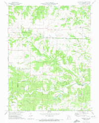
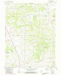
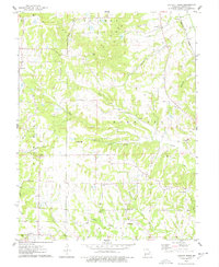
Historical Maps of Winfield Through Time
26 maps found
1972 Maryknoll
Lincoln County, MO
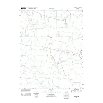
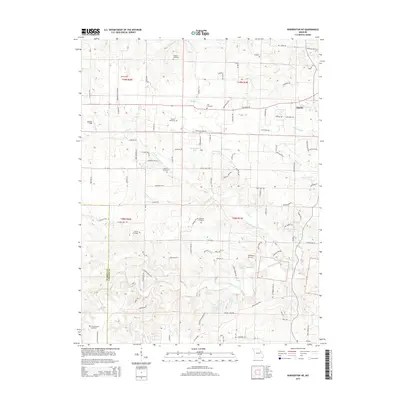
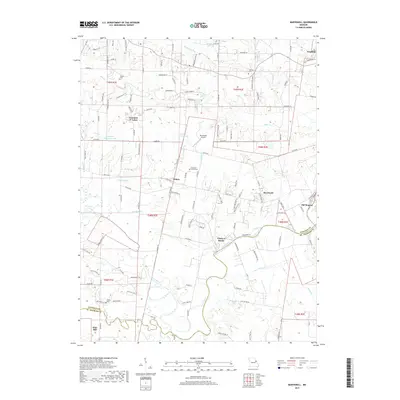
1973 Warrenton NE
Lincoln County, MO
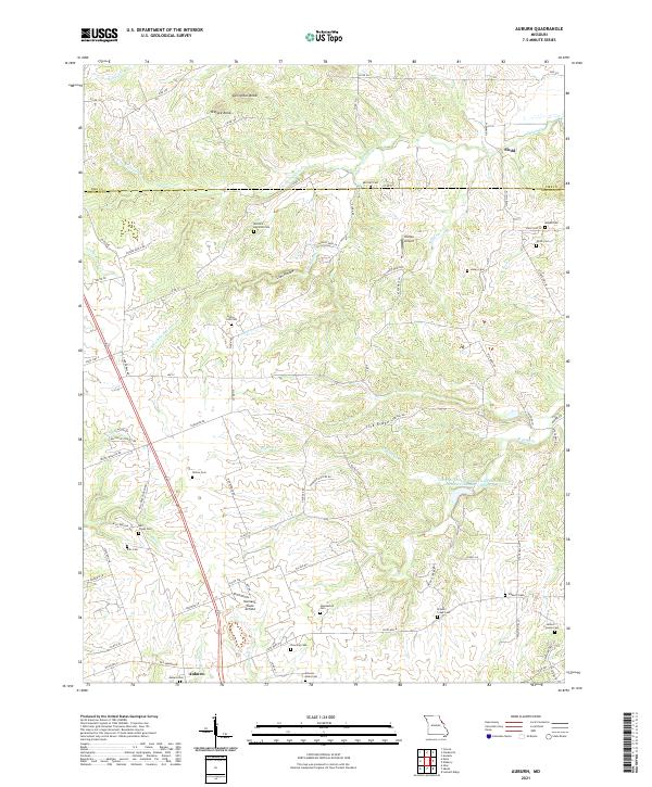
1975 Auburn
Lincoln County, MO
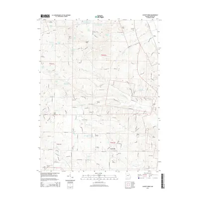
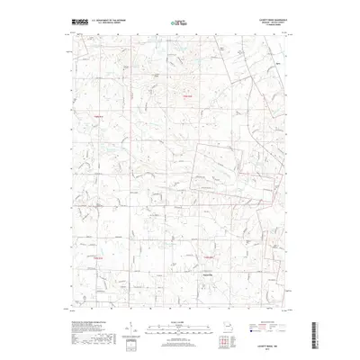
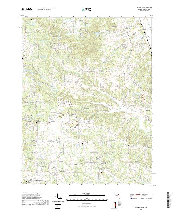
1975 Luckett Ridge
Lincoln County, MO
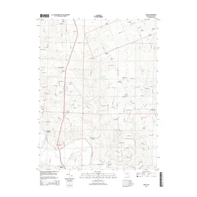
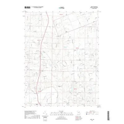
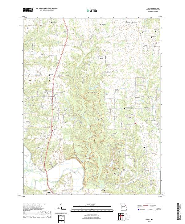
1975 Okete
Lincoln County, MO
1979 Maryknoll
Lincoln County, MO
2011 Auburn
Lincoln County, MO
2011 Luckett Ridge
Lincoln County, MO
2011 Okete
Lincoln County, MO
2012 Maryknoll
Lincoln County, MO
2012 Warrenton NE
Lincoln County, MO
2014 Auburn
Lincoln County, MO
2014 Luckett Ridge
Lincoln County, MO
2014 Okete
Lincoln County, MO
2015 Maryknoll
Lincoln County, MO
2015 Warrenton NE
Lincoln County, MO
2017 Auburn
Lincoln County, MO
2017 Luckett Ridge
Lincoln County, MO
2017 Maryknoll
Lincoln County, MO
2017 Okete
Lincoln County, MO
2017 Warrenton NE
Lincoln County, MO
2021 Auburn
Lincoln County, MO
2021 Luckett Ridge
Lincoln County, MO
2021 Maryknoll
Lincoln County, MO
2021 Okete
Lincoln County, MO
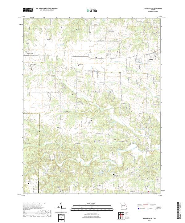
2021 Warrenton NE
Lincoln County, MO