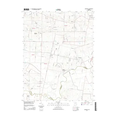
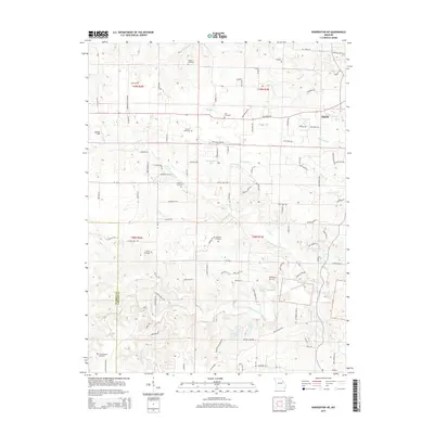
2021 Map of Maryknoll
USGS Topo · Published 2021About this map
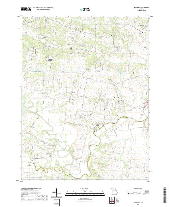
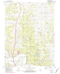
Lincoln County and St. Charles County meet at the winding course of the Cuivre River, a landscape defined by its floodplains and transition from prairie to river valley. The settlement at Chain of Rocks overlooks the river's path, while the surrounding interior features small communities like Ethlyn and Maryknoll. This 2021 survey shows a complex network of agricultural lands and increasing residential developments such as Fountain N' Lakes. Local heritage is anchored by dispersed burial grounds including Rybolt Cem, Admire Cem, and Highland Prairie Cem. Significant water features like Bobs Cr and Brushy Fork drain the northern uplands, while the Blackhawk Airport and proximity to Old Monroe and Winfield indicate the area's role as a modern rural hub. The map provides a clear look at the region's diverse topography, from the flat reaches of Highland Prairie to the intricate creeks of the river basin.
Find a feature on this map
127 named features on this map. Tap any name to fly to it.
Don’t see what you’re looking for? This feature index may not catch every label — zoom into the map to look around manually.
Map Details
Editions of this 2021 Maryknoll Map
This is the sole edition of this map. No revisions or reprints were ever made.
Historical Maps of Winfield Through Time
26 maps found
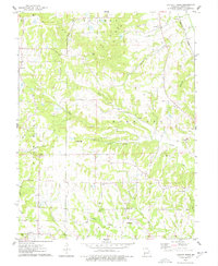
1972 Maryknoll
Lincoln County, MO
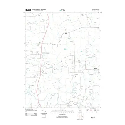
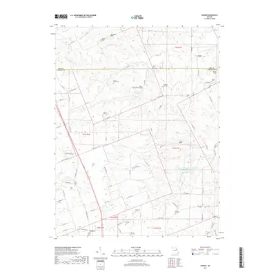
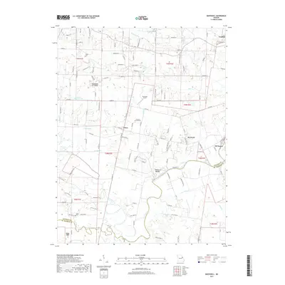
1973 Warrenton NE
Lincoln County, MO
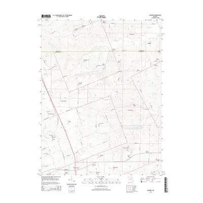
1975 Auburn
Lincoln County, MO
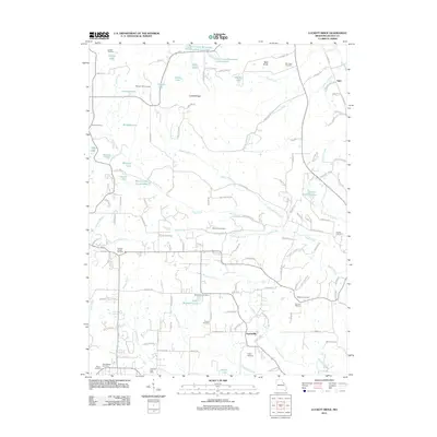
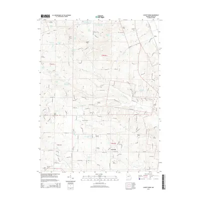
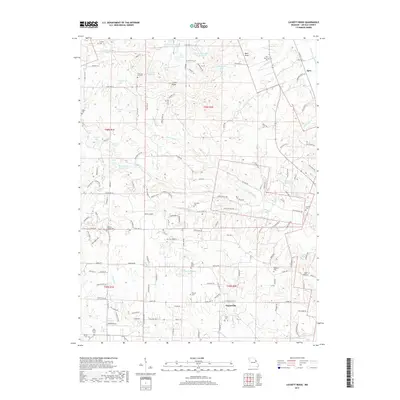
1975 Luckett Ridge
Lincoln County, MO
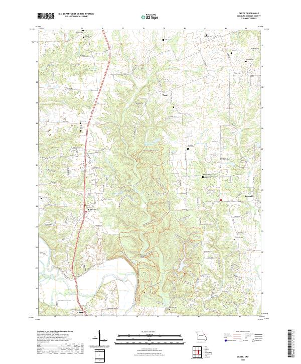
1975 Okete
Lincoln County, MO
1979 Maryknoll
Lincoln County, MO
2011 Auburn
Lincoln County, MO
2011 Luckett Ridge
Lincoln County, MO
2011 Okete
Lincoln County, MO
2012 Maryknoll
Lincoln County, MO
2012 Warrenton NE
Lincoln County, MO
2014 Auburn
Lincoln County, MO
2014 Luckett Ridge
Lincoln County, MO
2014 Okete
Lincoln County, MO
2015 Maryknoll
Lincoln County, MO
2015 Warrenton NE
Lincoln County, MO
2017 Auburn
Lincoln County, MO
2017 Luckett Ridge
Lincoln County, MO
2017 Maryknoll
Lincoln County, MO
2017 Okete
Lincoln County, MO
2017 Warrenton NE
Lincoln County, MO
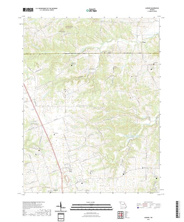
2021 Auburn
Lincoln County, MO
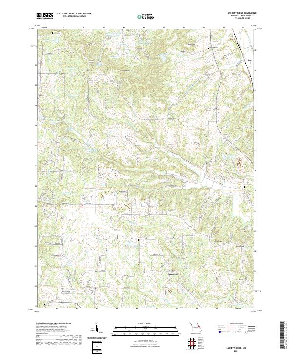
2021 Luckett Ridge
Lincoln County, MO
2021 Maryknoll
Lincoln County, MO
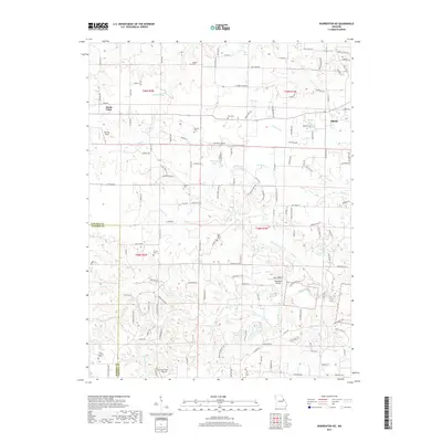
2021 Okete
Lincoln County, MO
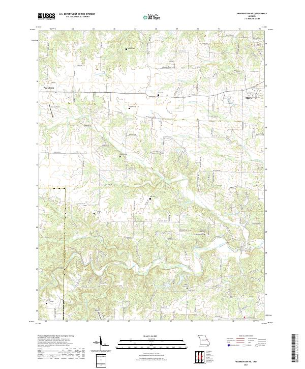
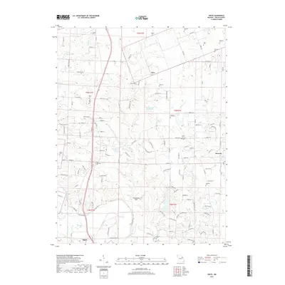
2021 Warrenton NE
Lincoln County, MO