2020s Maps of McDonald County, Missouri
Explore 24 historic maps of McDonald County from the 2020s. These maps offer a rare glimpse into what life looked like during the 2020s — showing old roads, neighborhoods, homes, and landmarks that have changed or disappeared over time.
Whether you're researching your family's past, planning a metal detecting trip, or studying how McDonald County's landscape evolved across the 2020s, these high-resolution maps are a powerful tool for exploring the history of this region.
- Focus on a specific era: All maps on this page are from the 2020s, giving you a focused view of this time period.
- See what’s changed: Compare century-old streets, trails, and buildings to today's modern landscape using overlays and satellite layers.
- Research with precision: Use these maps for genealogy, historical research, land use analysis, or educational projects.
- View, download, or print: Maps are fully viewable online in high resolution, and can be downloaded or printed for your own records.
Start exploring McDonald County's history through authentic maps from the 2020s. This is your window into the past.
McDonald County, MO maps
(24)- 2020 Map of Bentonville North, 2020 Print
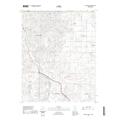 2020 Bentonville North2020 Print · USGSBenton County at the Missouri border is shown here during a period of significant suburban and recreational growth. Trace the evolution of local landscapes through historic family burial grounds like Kindley Cem and extensive modern trail systems such as The Back 40 Loop.
 - 2020 Map of Gravette, 2020 Print
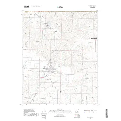 2020 Gravette2020 Print · USGSBenton County at the start of the 2020s shows the enduring character of its small towns alongside modern growth. Researchers can trace local heritage through numerous burial sites like Grand Army of the Republic Cem and explore the historic layout of Gravette.
 - 2020 Map of Colcord NE, 2020 Print
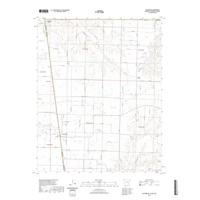 2020 Colcord NE2020 Print · USGSThe tri-state border region of Arkansas, Oklahoma, and Missouri comes into focus here during the early twenty-first century. Genealogists can trace family legacies through numerous local burial grounds, including Moses Fields Cem, Wann Cem, and Dow Cem.
 - 2020 Map of Hiwasse, 2020 Print
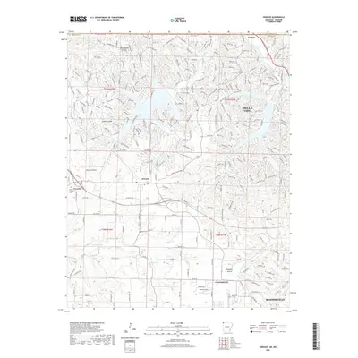 2020 Hiwasse2020 Print · USGSBenton County undergoes a period of significant growth at the turn of the decade, as seen in this survey of the Hiwasse and Bentonville area. Researchers can locate family landmarks like Keith Cem and Mount Pleasant Cem or trace the early residential street layout of Bella Vista.
 - 2020 Map of Pea Ridge, 2020 Print
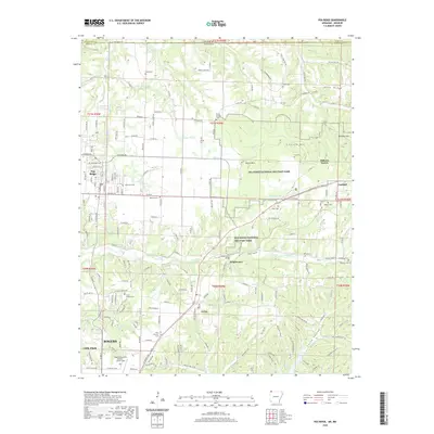 2020 Pea Ridge2020 Print · USGSNorthwest Arkansas near the Missouri state line appears here in the modern era, balancing deep historical preservation with regional growth. Researchers can locate numerous family burial sites and historic landmarks like Elkhorn Tavern, Pea Ridge Cem, and Tucks Chapel Cem.
 - 2021 Map of Jane, 2021 Print
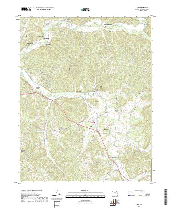 2021 Jane2021 Print · USGSThe rural communities and creek crossings of McDonald County are captured here in the early twenty-first century. Genealogists and historians can trace local landmarks like Whittaker Spring, Tatter Knob, and the riverside settlement of Crag O Lea.
 - 2021 Map of Stella, 2021 Print
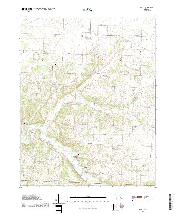 2021 Stella2021 Print · USGSNewton and McDonald counties appear in this recent survey as a landscape of rural communities and intricate valley springs. Genealogists can locate family burial sites like William M Brown Cem, Ivie Cem, and Robertson Cem across the hills surrounding Stella.
 - 2021 Map of Noel, 2021 Print
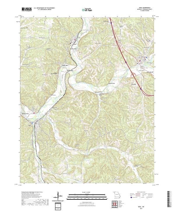 2021 Noel2021 Print · USGSMcDonald County in the early 2020s shows a landscape where small Ozark communities like Lanagan and Noel follow the winding Elk River. Researchers can trace local landmarks from the McDonald County Courthouse to rural sites like Lanagan Cem and Deer Lick Spring.
 - 2021 Map of Neosho West, 2021 Print
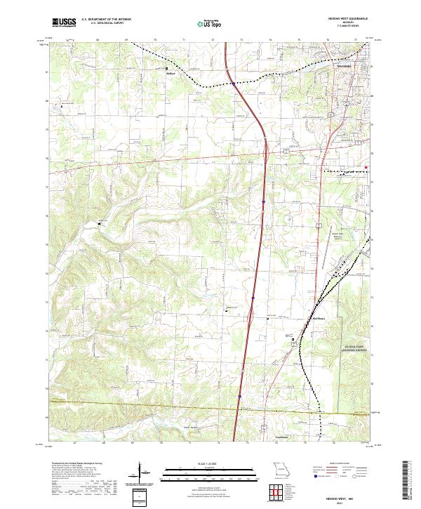 2021 Neosho West2021 Print · USGSNewton County in the early twenty-first century reveals a landscape where traditional Ozark settlements meet modern aviation and transit. Genealogists can trace family connections through sites like Belfast Cem, New Salem Cem, and the rural crossroads of McElhany.
 - 2021 Map of Tiff City, 2021 Print
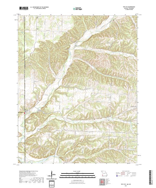 2021 Tiff City2021 Print · USGSThe Missouri-Oklahoma borderlands come into focus in this recent study of McDonald County and the tri-state corner. Genealogists and local historians can trace legacy sites like Tiff City, Cummings Chapel Cemetery, and the banks of the Elk River.
 - 2021 Map of McNatt, 2021 Print
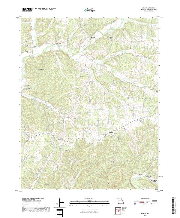 2021 McNatt2021 Print · USGSMcDonald County's rural interior comes to life in this recent survey, showcasing the deeply carved hollows and creek crossings of the Missouri Ozarks. Genealogists and local historians can trace family-named landmarks like McNatt, McCullough Ford, and Coal Mine Hill.
 - 2021 Map of Anderson, 2021 Print
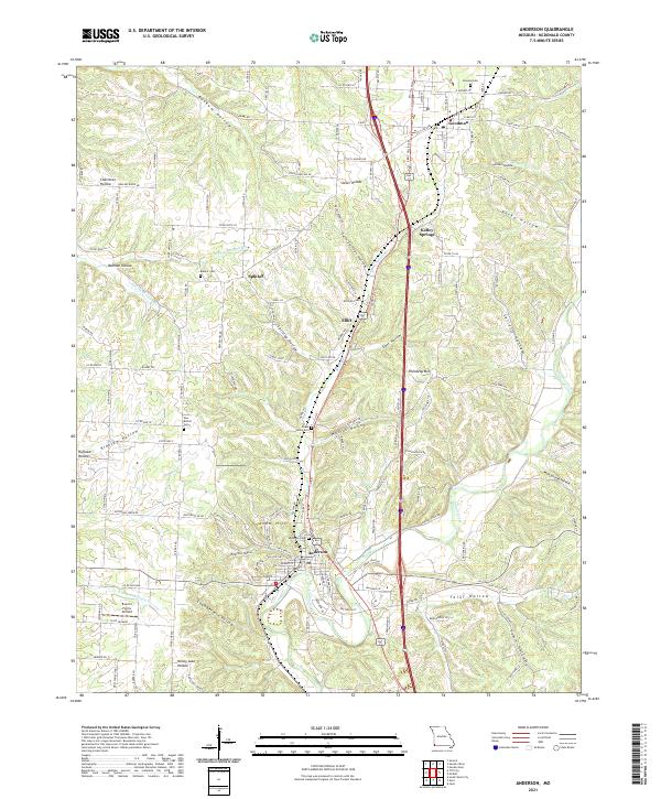 2021 Anderson2021 Print · USGSAnderson and the surrounding McDonald County hollows are shown in detail as they appeared in 2021. Genealogists and local researchers can trace family lands near Splitlog, locate the New Bethel Cem, or follow the winding course of Indian Creek.
 - 2021 Map of Powell, 2021 Print
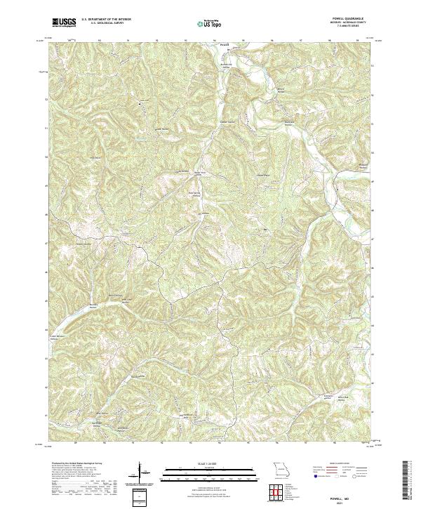 2021 Powell2021 Print · USGSMcDonald County, Missouri, is shown in 2021 as a landscape of deep hollows and high ridges centered on the settlement of Powell. Researchers can locate the Cowan Cem and trace generations of family history through landmarks like the Whittenburg Hills and Cooper Ridge.
 - 2021 Map of South West City, 2021 Print
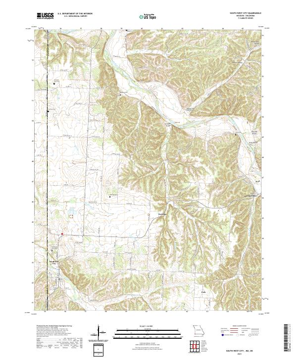 2021 South West City2021 Print · USGSThe Missouri-Oklahoma borderlands come alive in this recent survey of McDonald County's river valleys. Researchers can trace family history through numerous rural burial sites like Southwest City Cem and Manning Cem along the Elk River corridor.
 - 2021 Map of Jacket, 2021 Print
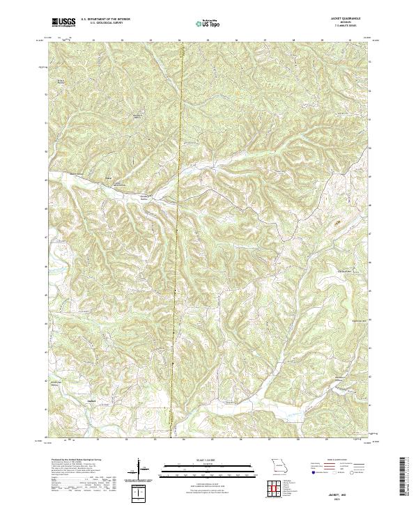 2021 Jacket2021 Print · USGSThe borderlands of Barry and McDonald County come into focus in this contemporary survey of the Ozark plateau. Genealogists and local historians can trace the topography of family-named landmarks like Pendergraff Hollow, Eggleston Mtn, and the small community of Jacket.
 - 2021 Map of Bethpage, 2021 Print
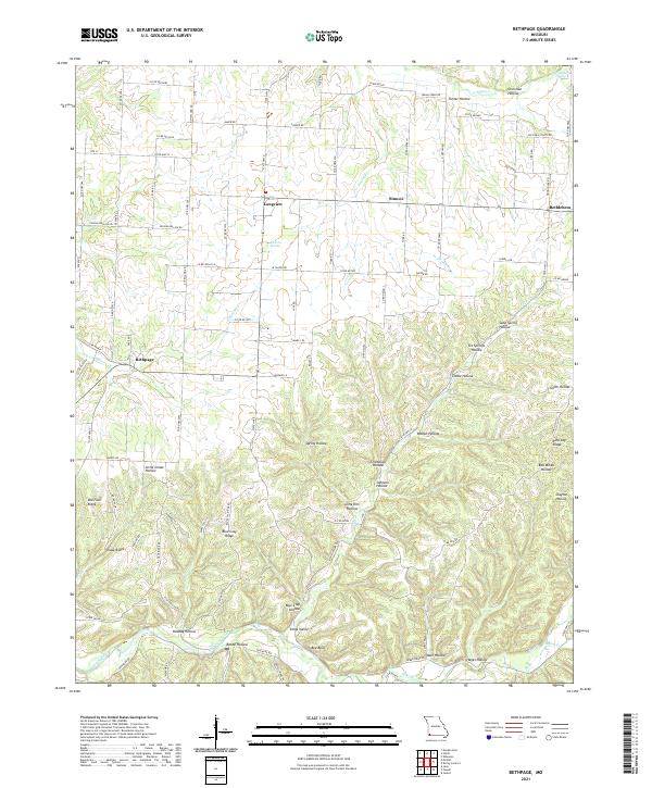 2021 Bethpage2021 Print · USGSThe rural hollows and ridges of McDonald County are captured here in the early twenty-first century. Genealogists and local historians can trace the geography around Bethpage, Longview, and Bethlehem, or locate family-named landmarks like Johnson Hollow and Kings Valley.
 - 2021 Map of Seneca, 2021 Print
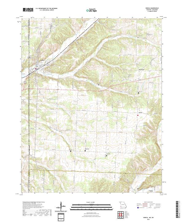 2021 Seneca2021 Print · USGSThe Missouri and Oklahoma borderlands come into focus in the early 2020s, showing the settled valleys around Seneca. Researchers can trace rural lineages through numerous local sites like Swars Prairie Baptist Cem and Thompson Grove Cem.
 - 2021 Map of Rocky Comfort, 2021 Print
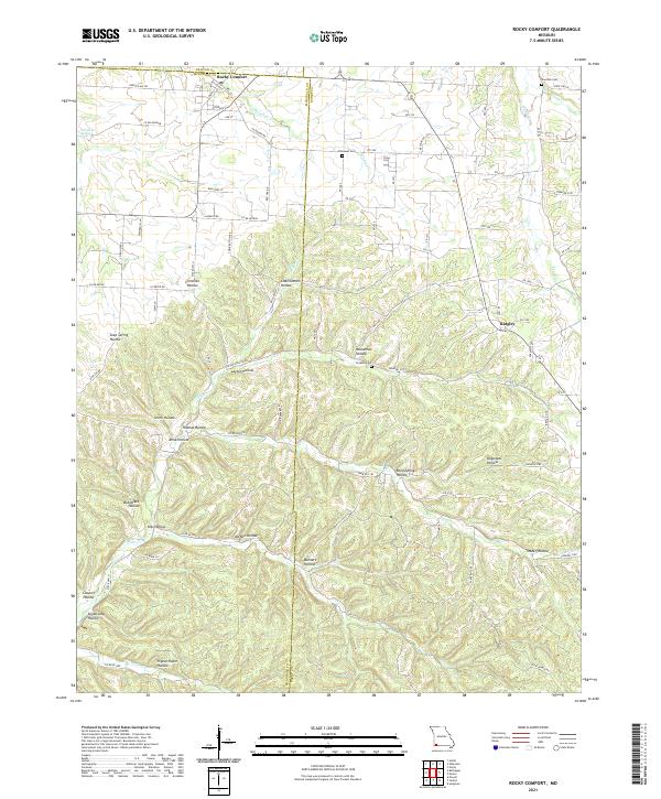 2021 Rocky Comfort2021 Print · USGSThe rural landscapes of McDonald and Barry counties are captured here in the early twenty-first century. Genealogists can trace family roots through sites like Chitwood Cem and Ridgley, or locate family lands near Pigeon Roost Hollow.
 - 2021 Map of Neosho East, 2021 Print
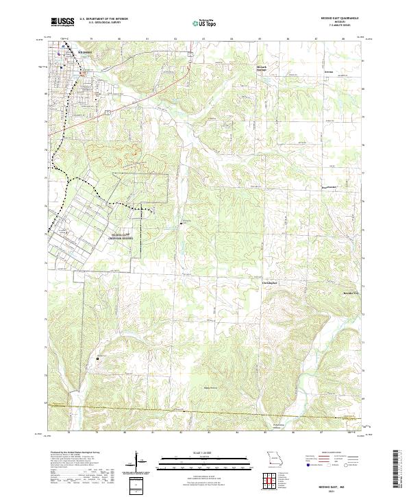 2021 Neosho East2021 Print · USGSNewton County's eastern townships are shown here in the early 2020s, centered on the civic activity of Neosho and its surrounding rural communities. Genealogists can locate family landmarks like Elm Spring Cem and Maness Cem, or trace the springs that gave rise to places like Monark Springs.
 - 2024 Map of Gravette, 2024 Print
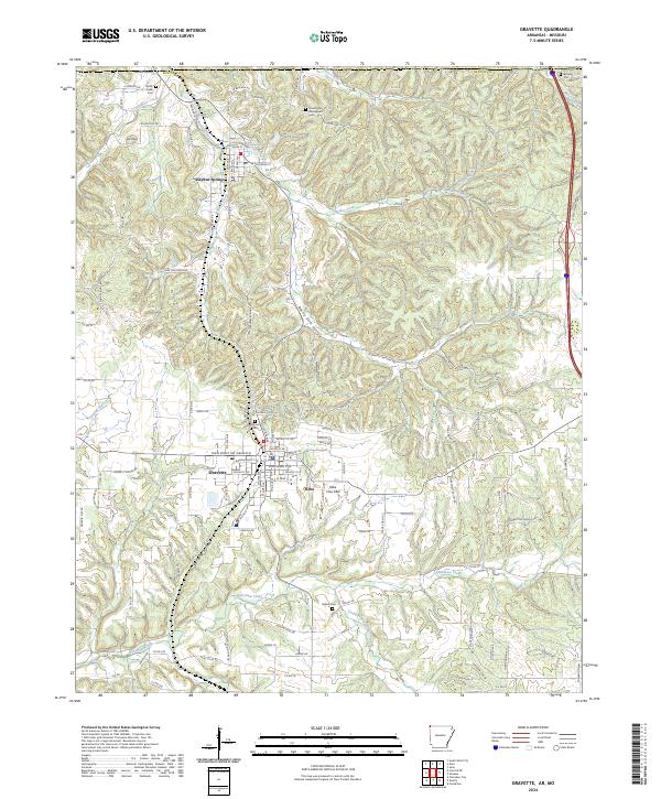 2024 Gravette2024 Print · USGSBenton County, Arkansas, comes into sharp focus in this contemporary survey of the Ozark foothills. Genealogists and historians can trace family locations at Grand Army of the Republic Cem, Butler Creek Cem, and Beavers Cem.
 - 2024 Map of Colcord NE, 2024 Print
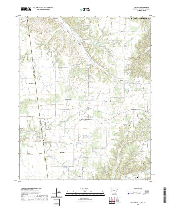 2024 Colcord NE2024 Print · USGSBenton County, Arkansas, at the Oklahoma border maintains its rural character in this recent survey. Genealogists can trace family heritage at several local burial grounds, including Wet Prairie Cem, Moses Fields Cem, and Dow Cem.
 - 2024 Map of Bentonville North, 2024 Print
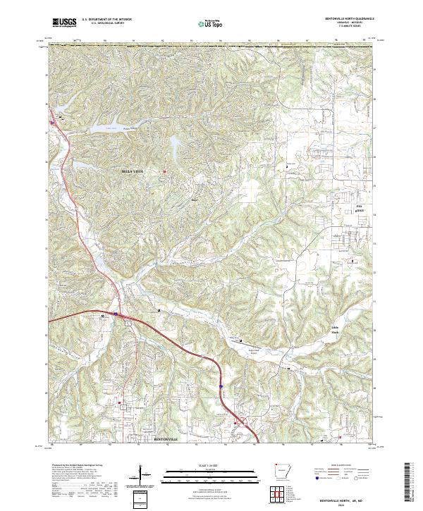 2024 Bentonville North2024 Print · USGSBenton County undergoes modern transformation in this 2024 survey of the growing corridor north of Bentonville. Genealogists and local historians can trace family sites at Oakes Cem and Kindley Cem while following the terrain from Little Sugar Creek to Pea Ridge.
 - 2024 Map of Pea Ridge, 2024 Print
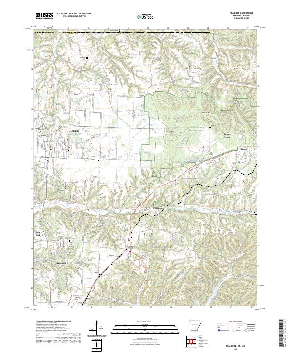 2024 Pea Ridge2024 Print · USGSNorthwest Arkansas and the Missouri border country are shown in this recent survey, centered on the Civil War grounds of Pea Ridge National Military Park. Genealogists can trace family plots at Banks Cem and Saint Vincents Cem or locate the historic Elkhorn Tavern.
 - 2024 Map of Hiwasse, 2024 Print
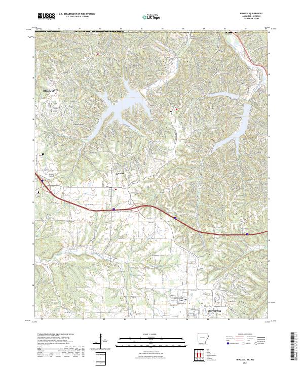 2024 Hiwasse2024 Print · USGSModern-day Benton County shows its rapid growth at the edge of the Ozarks, from the residential streets of BELLA VISTA to the airfield at Ashmore Field. Researchers can trace local burial sites like Mount Pleasant Cem and follow the rugged drainages of Spavinaw Creek.
End of results
Showing maps 1-24 of 24
Top cities of McDonald County
- Anderson historical maps
- Noel historical maps
- Goodman historical maps
- Southwest City historical maps
- Pineville historical maps
- Lanagan historical maps
See more
Frequently asked questions
- What are the different types of historical maps available for McDonald County?
- What is the oldest map of McDonald County?
- Where can I purchase historical maps of McDonald County for my home or office?
- Where can I download high-res historical maps of McDonald County?
- Are there historical topographic maps available for McDonald County?
- Is there historical aerial imagery available for McDonald County?
- Where are historical maps of McDonald County sourced from?