2000s (21st Century) Maps of McDonald County, Missouri
Explore 84 historic maps of McDonald County from the 2000s (21st Century). These maps offer a rare glimpse into what life looked like during the 2000s — showing old roads, neighborhoods, homes, and landmarks that have changed or disappeared over time.
Whether you're researching your family's past, planning a metal detecting trip, or studying how McDonald County's landscape evolved across the 2000s, these high-resolution maps are a powerful tool for exploring the history of this region.
- Focus on a specific era: All maps on this page are from the 2000s, giving you a focused view of this time period.
- See what’s changed: Compare century-old streets, trails, and buildings to today's modern landscape using overlays and satellite layers.
- Research with precision: Use these maps for genealogy, historical research, land use analysis, or educational projects.
- View, download, or print: Maps are fully viewable online in high resolution, and can be downloaded or printed for your own records.
Start exploring McDonald County's history through authentic maps from the 2000s. This is your window into the past.
McDonald County, MO maps
(84)- 2010 Map of South West City, 2010 Print
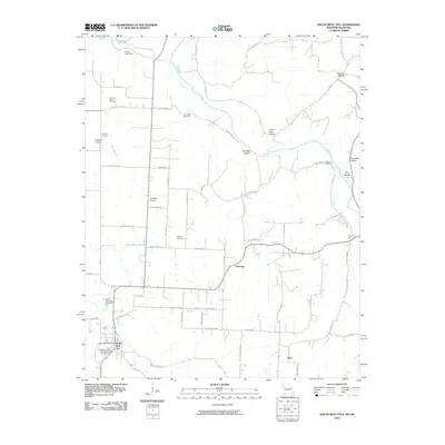 2010 South West City2010 Print · USGSThe Missouri-Oklahoma borderlands appear in detail in 2010, centered on the rural settlements and creek valleys near South West City. Researchers can trace old family burial grounds like Williams-Hays Cemetery and locate the Honey Creek Post Office along the water.
 - 2010 Map of Tiff City, 2010 Print
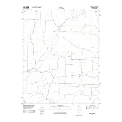 2010 Tiff City2010 Print · USGSTiff City and the rural borderlands of McDonald County appear here in the early twenty-first century as a landscape of creeks and family cemeteries. Genealogists can locate several historic burial grounds like Mannings Chapel Cemetery and Mitchell Cemetery near Coy.
 - 2010 Map of Seneca, 2010 Print
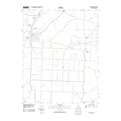 2010 Seneca2010 Print · USGSNewton County and the Oklahoma borderlands are documented in detail during the early twenty-first century. Genealogists and local historians can trace rural property lines and landmarks like Wilson Cemetery, Swars Prairie, and the water control works at Newton County Structure F-1 Dam.
 - 2011 Map of Pea Ridge, 2011 Print
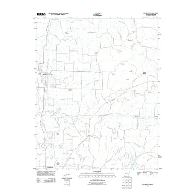 2011 Pea Ridge2011 Print · USGSPea Ridge and the northern Arkansas highlands are captured here in the early twenty-first century. Researchers can trace family history through a wealth of landmarks like Elkhorn Tavern, Twelve Corners Cemetery, and the Pea Ridge Battlefield.
 - 2011 Map of Bentonville North, 2011 Print
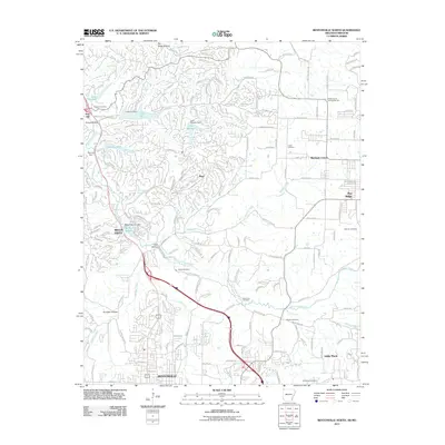 2011 Bentonville North2011 Print · USGSBentonville and Bella Vista were evolving into a region of master-planned communities and recreational lakes in the early 2000s. Genealogists and local historians can trace rural roots at Dug Hill Cemetery, Blackjack Corner, and the Shady Grove Community Hall.
 - 2011 Map of Hiwasse, 2011 Print
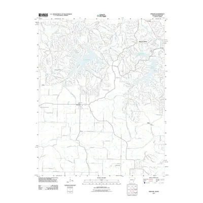 2011 Hiwasse2011 Print · USGSBenton County undergoes a significant transformation into a residential and recreational hub by 2011. Genealogists and local historians can locate family burial sites at Keith Cemetery and Miller Cemetery or trace the early settlement of Hiwasse.
 - 2011 Map of Gravette, 2011 Print
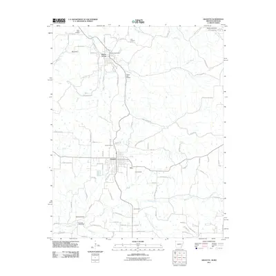 2011 Gravette2011 Print · USGSBenton County and the Arkansas-Missouri border appear in this contemporary survey of the Ozark highlands. Researchers can trace local lineage through numerous sites like Hillcrest Cemetery, Sulphur Springs, and the rural community of Nebo.
 - 2011 Map of Colcord NE, 2011 Print
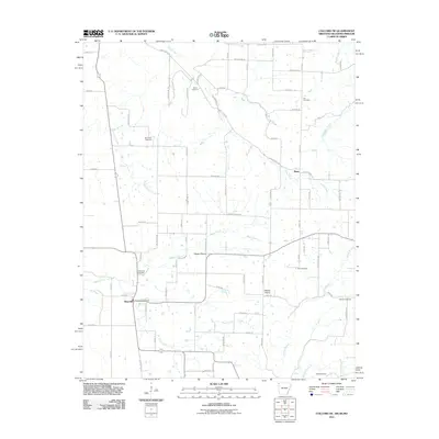 2011 Colcord NE2011 Print · USGSBenton County at the start of the 2010s reveals a structured agricultural landscape defined by the borders of Arkansas and Oklahoma. Researchers can trace family history through numerous rural sites like Wann Cemetery, Beatie Prairie, and the Maysville Post Office.
 - 2012 Map of Neosho East, 2012 Print
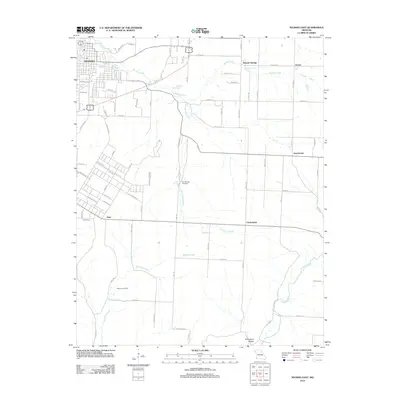 2012 Neosho East2012 Print · USGSEastern Neosho and rural Newton County are captured here in the early twenty-first century, showcasing a landscape defined by its springs and creek branches. Researchers can locate Elm Spring Cemetery, Maness Cemetery, and the historic area of Monark Springs.
 - 2012 Map of Powell, 2012 Print
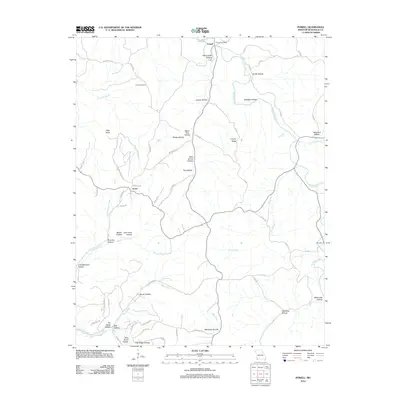 2012 Powell2012 Print · USGSMcDonald County's deep hollows and high ridges are captured in this contemporary look at the rural landscape near the Arkansas border. Genealogists and hikers can trace local landmarks like Cowan Cemetery, the Powell Post Office, and the rugged terrain of the Whittenburg Hills.
 - 2012 Map of Neosho West, 2012 Print
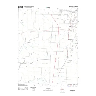 2012 Neosho West2012 Print · USGSNewton County's western outskirts and rural townships are captured in this early 2000s survey of the Missouri landscape. Researchers can locate family landmarks along Buffalo Creek, find the New Salem Cemetery, and trace the development around McElhany and the Neosho Memorial Airport.
 - 2012 Map of Bethpage, 2012 Print
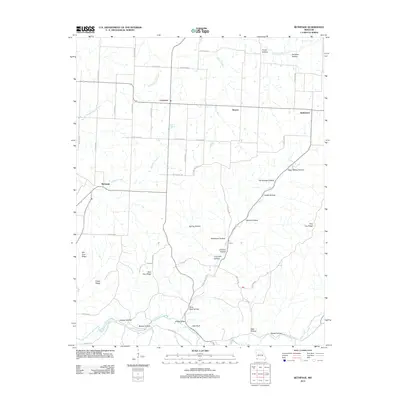 2012 Bethpage2012 Print · USGSMcDonald County, Missouri, is captured here in the early twenty-first century, showcasing a rural landscape defined by deep hollows and high ridges. Genealogists and local historians can trace the topography of Stillhouse Hollow, Bethpage, and Lime Kiln Hollow.
 - 2012 Map of Anderson, 2012 Print
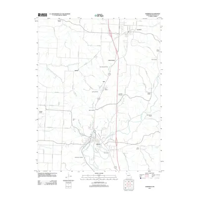 2012 Anderson2012 Print · USGSMcDonald County in the early 2010s shows a landscape of deep hollows and creek-side settlements. Trace the geography of the Ozarks through Indian Creek, the ridges of Holloway Mountain, and historic routes like the Ozark Trl near Goodman.
 - 2012 Map of Noel, 2012 Print
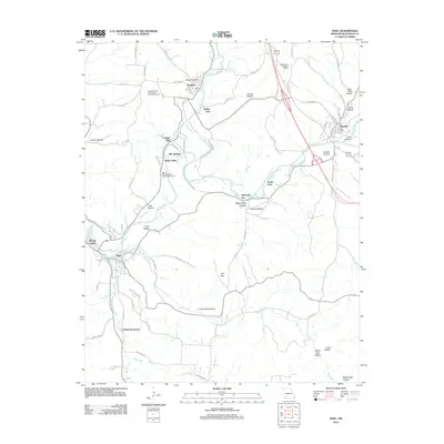 2012 Noel2012 Print · USGSMcDonald County is defined by the winding Elk River and its valley settlements in the early twenty-first century. Genealogists and locals can trace the roads and ridges connecting Lanagan, Noel, and Pineville, while locating landmarks like Poole Ford and Armstrong Quarry.
 - 2012 Map of Stella, 2012 Print
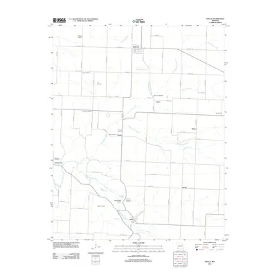 2012 Stella2012 Print · USGSStella and the surrounding Newton County countryside are shown here at the start of the 2010s, revealing a landscape of family cemeteries and spring-fed creeks. Genealogists can trace rural roots through Mount Zion Cemetery, Wanda, and the scattered sites along South Indian Creek.
 - 2012 Map of Rocky Comfort, 2012 Print
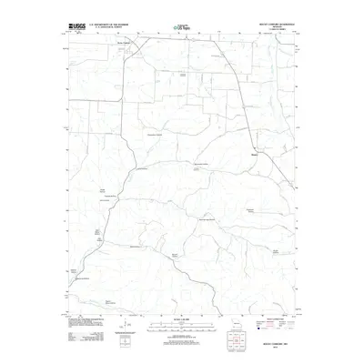 2012 Rocky Comfort2012 Print · USGSRocky Comfort and the surrounding Missouri countryside are captured here in the early twenty-first century, showing a landscape carved by hollows and creeks. Researchers can locate Chitwood Cemetery, trace the path of South Indian Creek, or find family-named points like Layton Hollow.
 - 2012 Map of Jacket, 2012 Print
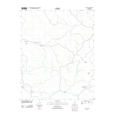 2012 Jacket2012 Print · USGSIn the early 21st century, this corner of McDonald County remains a landscape of deep hollows and high ridges. Genealogists and local historians can trace family-named terrain and remote outposts like Jacket, Eggleston Mountain, and Washburn Hollow.
 - 2012 Map of Seneca, 2012 Print
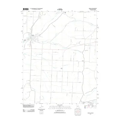 2012 Seneca2012 Print · USGSSouthwest Missouri and the Oklahoma border are documented here just after the turn of the millennium. Genealogists can locate the Wilson Cemetery or trace family connections near the rural settlements of Dessa, May, and the larger hub of Seneca.
 - 2012 Map of Tiff City, 2012 Print
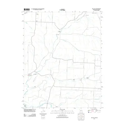 2012 Tiff City2012 Print · USGSThe Missouri-Oklahoma borderlands in the early twenty-first century are defined by small crossroads like Tiff City and the cattle-and-creek landscape of the Springfield Plain. Genealogists can trace family footprints at Rinehart Cemetery, Keenon Cemetery, or the rural community of Hart.
 - 2012 Map of McNatt, 2012 Print
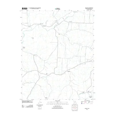 2012 McNatt2012 Print · USGSMcDonald County is shown in this detailed study of the Missouri Ozarks, where the rural landscape is defined by the winding paths of Indian Creek and Big Sugar Creek. Local historians can trace family-named landmarks and old crossings like McCullough Ford, Coal Mine Hill, and the community of McNatt.
 - 2012 Map of Jane, 2012 Print
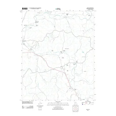 2012 Jane2012 Print · USGSThe rural landscapes of McDonald County are mapped here in the early twenty-first century as highway travel and riverside communities define the local geography. Researchers can trace family-named landmarks like Polk Mountain and Bobs Knob or locate crossings at Griffin Ford.
 - 2012 Map of South West City, 2012 Print
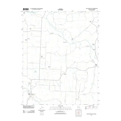 2012 South West City2012 Print · USGSThe Missouri-Oklahoma borderlands come alive in this 2012 survey, showing the transition from the Cowskin Prairie to the White River Hills. Genealogists can locate family burial grounds including Stone Cemetery, Langley Cemetery, and the South West City Cemetery.
 - 2014 Map of Bentonville North, 2014 Print
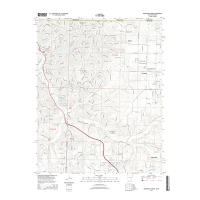 2014 Bentonville North2014 Print · USGSBenton County, Arkansas, appears in the early twenty-first century as a blend of growing residential communities and well-preserved rural landmarks. Local history researchers can trace old family sites and burial grounds such as Valley View Cem, Hickman Cem, and the settlement at Blackjack Corner.
 - 2014 Map of Hiwasse, 2014 Print
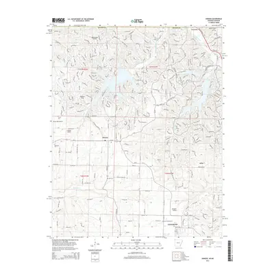 2014 Hiwasse2014 Print · USGSBenton County undergoes a period of significant suburban expansion in the early 2010s, particularly around the growing outskirts of Centerton. Genealogists can locate several family-named landmarks and rural burial sites like Miller Cem and Keith Cem.
 - 2014 Map of Colcord NE, 2014 Print
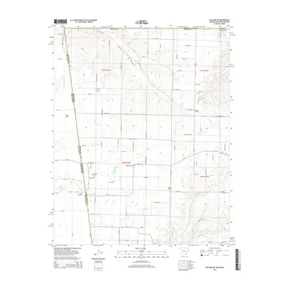 2014 Colcord NE2014 Print · USGSBenton County, Arkansas, and the adjacent borderlands of Oklahoma and Missouri are documented in this recent survey. Researchers can trace rural lineages through numerous burial sites like Maysville Cem, Moses Fields Cem, and Lee Cem.
Showing maps 1-25 of 84
Top cities of McDonald County
- Anderson historical maps
- Noel historical maps
- Goodman historical maps
- Southwest City historical maps
- Pineville historical maps
- Lanagan historical maps
See more
Frequently asked questions
- What are the different types of historical maps available for McDonald County?
- What is the oldest map of McDonald County?
- Where can I purchase historical maps of McDonald County for my home or office?
- Where can I download high-res historical maps of McDonald County?
- Are there historical topographic maps available for McDonald County?
- Is there historical aerial imagery available for McDonald County?
- Where are historical maps of McDonald County sourced from?