Old Maps of Independence Township, Missouri for Metal Detecting
Plan your next treasure hunt with 25 historic maps of Independence Township. Find old homesites, ghost towns, trails, and gathering spots that may be lost to time — perfect for identifying promising metal detecting locations.
- Locate forgotten sites: Uncover places like long-lost settlements, abandoned rail lines, or gathering spots.
- Plan better hunts: Use map overlays combined with LiDAR or satellite views to narrow in on historically rich areas.
- Made for detectorists: Thousands of hobbyists use these maps to discover relics, coins, and hidden history.
Use these historic maps to boost your research and find new opportunities beneath the surface of Independence Township.
Independence Township, MO maps
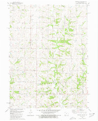
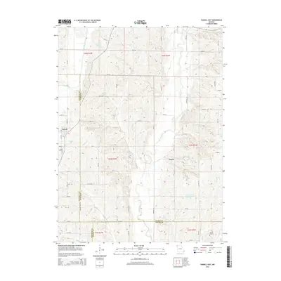
(25)- 1940 Map of Bedford, 1954 Print
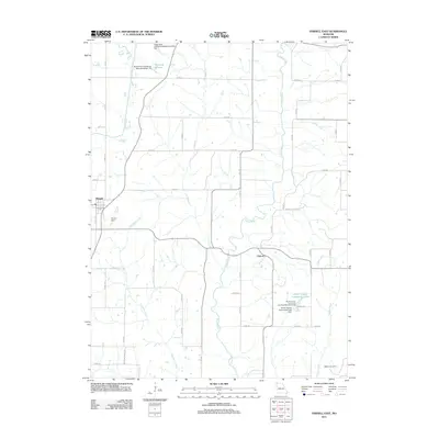
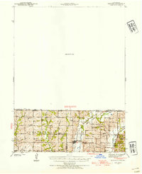 1940 Bedford1954 Print · USGSThe Iowa-Missouri borderlands come alive in this mid-century survey of Taylor, Worth, and Nodaway counties. Researchers can trace the Chicago Great Western rail line and locate vanished rural hubs like Luteston Sch and Isadora.2 unique versions available
 - 1940 Map of Parnell, 1954 Print
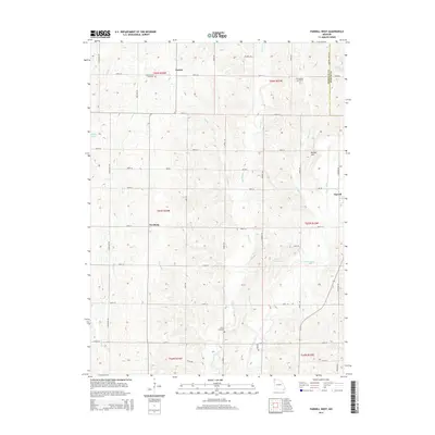
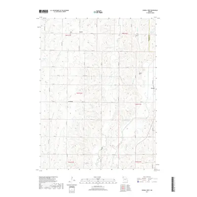
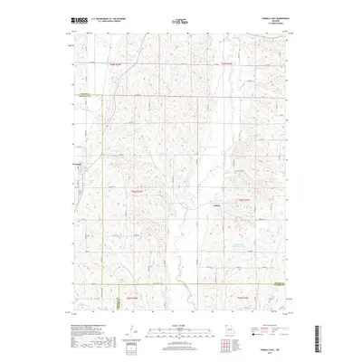
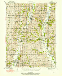 1940 Parnell1954 Print · USGSNorthwest Missouri in the 1940s is defined here by a dense grid of rural schoolhouses and the critical rail hub at Conception Junction. Trace family roots near St Benedict Convent or find old community sites like Common Sense Sch and Ravenwood.
 - 1943 Map of Bedford
 1943 Bedford1943 Print · USGSThe borderlands of Iowa and Missouri are captured here in the early 1940s, showing a landscape defined by small-town life and the railroad. Genealogists can trace family footprints through numerous rural landmarks like New Hope Cem, Star of the West Ch, and the Platte Dell Sch.2 unique versions available
 - 1943 Map of Parnell
 1943 Parnell1943 Print · USGSNorthwest Missouri's agricultural heartland is documented here in the early 1940s, centered on the rail junctions and river valleys of Nodaway and Worth counties. Researchers can trace rural lineages through dozens of local landmarks like Common Sense Sch, St Benedict Convent, and Sweet Home Cem.2 unique versions available
 - 1955 Map of Nebraska City, 1967 Print
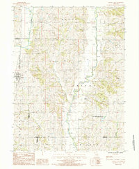
 1955 Nebraska City1967 Print · USGSThe four-state region surrounding the Missouri River valley appears here in the mid-1950s, a landscape of rail-dependent market towns and rural school districts. Genealogists can locate family landmarks like the Rock Bluff School, St Oswald Church, and the Clarinda State Hospital.3 unique versions available
 - 1957 Map of Nebraska City
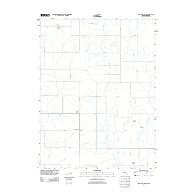
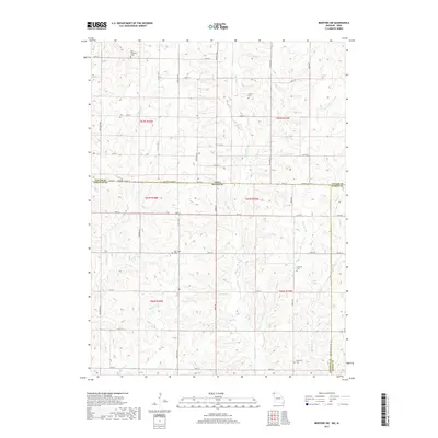
 1957 Nebraska City1957 Print · USGSThe four-state junction of Nebraska, Iowa, Missouri, and Kansas comes alive in this mid-fifties survey of the Missouri River valley. Genealogists and historians can trace the rail-and-road networks connecting Nebraska City, Maryville, and the Squaw Creek National Wildlife Refuge.
 - 1958 Map of Nebraska City
 1958 Nebraska City1958 Print · USGSThe Missouri River Valley and its fertile four-state borderlands are captured here during the mid-century expansion of the regional highway and rail networks. Genealogists can trace family roots through numerous rural landmarks like Moulton School, Shady Grove Church, and the Clarinda State Hospital.
 - 1980 Map of Bedford SW, 1981 Print
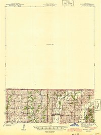
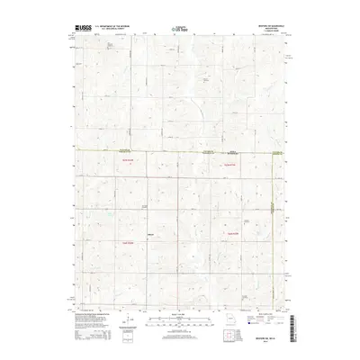
 1980 Bedford SW1981 Print · USGSThis rural borderland between Iowa and Missouri was mapped in the late 1970s, showing a landscape of traditional farmsteads and township boundaries. Genealogists can locate several remote burial sites and community centers, including Berea Ch, New Hope Cem, and Brethren Cem.
 - 1984 Map of Parnell East, 1985 Print
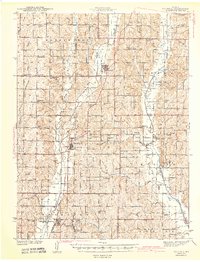
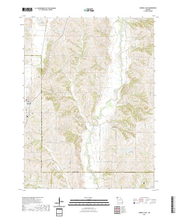
 1984 Parnell East1985 Print · USGSNorthern Missouri agriculture and river networks define this landscape in the mid-1980s. Researchers can trace the rural layouts of Parnell and Oxford, or explore the northern edges of the Worth County Community Lake State Recreation Area.
 - 1985 Map of Mount Ayr
 1985 Mount Ayr1985 Print · USGSThe Iowa-Missouri borderlands are captured here in the mid-eighties, showing a landscape defined by the branching forks of the Platte River and Grand River. Researchers can trace the heritage of rural communities and conservation sites like Lake of Three Fires State Park and Rose Hill Cemetery.2 unique versions available
 - 1985 Map of Parnell West
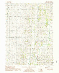 1985 Parnell West1985 Print · USGSNodaway County agriculture and river drainage are documented here in the mid-1980s, before modern landscape changes. Local researchers can trace the rural layouts of Gaynor, Orrsburg, and Parnell, or locate landmarks like the Rock Quarry and Keever Bridge Acess Area.
 - 1986 Map of Maryville
 1986 Maryville1986 Print · USGSNorthwest Missouri's agricultural heartland is documented here in the mid-1980s, from the campus at Northwest Missouri State University to the Grand River valley. Genealogists can trace family footprints across dozens of local burial grounds like Alanthus Grove Cem and Brooklyn Cem.2 unique versions available
 - 2010 Map of Bedford SW, 2010 Print
 2010 Bedford SW2010 Print · USGSCovers Independence Township, including Union Township, Hopkins Township, and other nearby areas
 - 2011 Map of Parnell West, 2011 Print
 2011 Parnell West2011 Print · USGSCovers Independence Township, including Parnell, Union Township, and other nearby areas
 - 2011 Map of Parnell East, 2011 Print
 2011 Parnell East2011 Print · USGSCovers Independence Township, including Parnell, Oxford, and other nearby areas
 - 2011 Map of Bedford SW, 2011 Print
 2011 Bedford SW2011 Print · USGSCovers Independence Township, including Union Township, Hopkins Township, and other nearby areas
 - 2014 Map of Parnell West, 2014 Print
 2014 Parnell West2014 Print · USGSCovers Independence Township, including Parnell, Union Township, and other nearby areas
 - 2014 Map of Bedford SW, 2014 Print
 2014 Bedford SW2014 Print · USGSCovers Independence Township, including Union Township, Hopkins Township, and other nearby areas
 - 2014 Map of Parnell East, 2014 Print
 2014 Parnell East2014 Print · USGSCovers Independence Township, including Parnell, Oxford, and other nearby areas
 - 2017 Map of Parnell West, 2017 Print
 2017 Parnell West2017 Print · USGSCovers Independence Township, including Parnell, Union Township, and other nearby areas
 - 2017 Map of Bedford SW, 2017 Print
 2017 Bedford SW2017 Print · USGSCovers Independence Township, including Union Township, Hopkins Township, and other nearby areas
 - 2017 Map of Parnell East, 2017 Print
 2017 Parnell East2017 Print · USGSCovers Independence Township, including Parnell, Oxford, and other nearby areas
 - 2021 Map of Parnell West, 2021 Print
 2021 Parnell West2021 Print · USGSNodaway County agricultural life continues its steady rhythm along the Platte River in the early twenty-first century. Genealogists and local historians can trace family land and landmarks like Gaynor, Orrsburg, and the well-placed Long Branch Cem.
 - 2021 Map of Bedford SW, 2021 Print
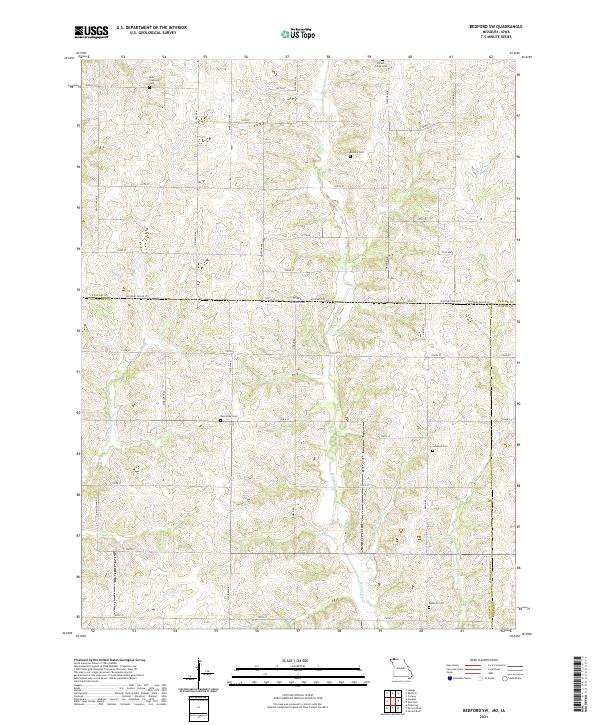 2021 Bedford SW2021 Print · USGSThe borderlands of Nodaway County and Taylor County are captured here in the early twenty-first century as a landscape of grid roads and family burial grounds. Researchers can locate several rural cemeteries including Brethren Cem, New Hope Cem, and Ross Township Cem.
 - 2021 Map of Parnell East, 2021 Print
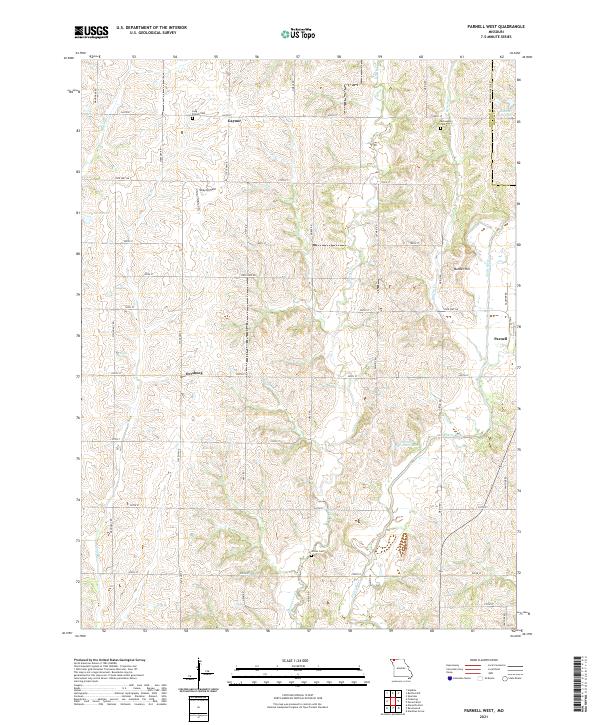
 2021 Parnell East2021 Print · USGSNorthwest Missouri's rolling farm country comes into focus in this modern era survey of the borderlands between Worth and Nodaway counties. Researchers can trace the layout of small communities like Parnell and Oxford or locate the historic Parnell Cem.
End of results
Showing maps 1-25 of 25
Top cities near Independence Township
- Maryville historical maps
- Bedford historical maps
- Hopkins historical maps
- Ravenwood historical maps
- Parnell historical maps
- Sheridan historical maps
See more
Top neighborhoods of Independence Township
Frequently asked questions
- What are the different types of historical maps available for Independence Township?
- What is the oldest map of Independence Township?
- Where can I purchase historical maps of Independence Township for my home or office?
- Where can I download high-res historical maps of Independence Township?
- Are there historical topographic maps available for Independence Township?
- Is there historical aerial imagery available for Independence Township?
- Where are historical maps of Independence Township sourced from?