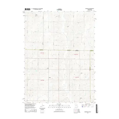
2014 Map of Bedford SW
USGS Topo · Published 2014About this map
Allison stands as a focal point in this rural landscape spanning the Iowa Missouri border, where the townships of Nodaway and Taylor meet. This terrain is defined by a dense network of watercourses, including the southward-flowing Honey Cr and Norvey Cr, which have carved the hills of the Missouri-Iowa borderlands. The map reveals a high concentration of local burial sites such as Kemery Cemetery, New Hope Cemetery, and Brethren Cemetery, reflecting the deep-rooted family history and early religious settlements of the region.
Find a feature on this map
52 named features on this map. Tap any name to fly to it.
Don’t see what you’re looking for? This feature index may not catch every label — zoom into the map to look around manually.
Map Details
Editions of this 2014 Bedford SW Map
This is the sole edition of this map. No revisions or reprints were ever made.
Other maps of this area

1940 · Bedford
USGS Topo · 1:62,500

1940 · New Market
USGS Topo · 1:62,500

1940 · Parnell
USGS Topo · 1:62,500

1943 · Bedford
USGS Topo · 1:62,500

1943 · Parnell
USGS Topo · 1:62,500

1943 · Maryville
USGS Topo · 1:62,500

1943 · New Market
USGS Topo · 1:62,500

1955 · Nebraska City
USGS Topo · 1:250,000

1957 · Nebraska City
USGS Topo · 1:250,000

1958 · Nebraska City
USGS Topo · 1:250,000