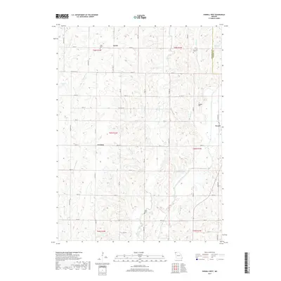
2017 Map of Parnell West
USGS Topo · Published 2017About this map
The Platte River valley defines the eastern landscape of this Nodaway County region, where the rural settlements of Gaynor, Orrsburg, and the western edge of Parnell represent the local centers of community life. This 2017 study illustrates a deeply agricultural grid of section roads like State Hwy E and Mahogany Rd that connect family landmarks and local burial grounds. Genealogists can identify key historical sites including Long Branch Cem near the Long Br reservoir, McLaughlin Cem to the east, and Wilcox Cem situated on the southern uplands. The terrain is a network of watercourses, with Honey Cr and Brushy Cr cutting through the fields toward the main river. These drainages, alongside man-made features like Wilson Lake and Schmitz Brothers Lake, highlight how water management has shaped the modern land use in this part of Missouri.
Find a feature on this map
44 named features on this map. Tap any name to fly to it.
Don’t see what you’re looking for? This feature index may not catch every label — zoom into the map to look around manually.
Map Details
Editions of this 2017 Parnell West Map
This is the sole edition of this map. No revisions or reprints were ever made.
Other maps of this area

1940 · Bedford
USGS Topo · 1:62,500

1940 · New Market
USGS Topo · 1:62,500

1940 · Parnell
USGS Topo · 1:62,500

1943 · Bedford
USGS Topo · 1:62,500

1943 · Parnell
USGS Topo · 1:62,500

1943 · Maryville
USGS Topo · 1:62,500

1943 · New Market
USGS Topo · 1:62,500

1955 · Nebraska City
USGS Topo · 1:250,000

1957 · Nebraska City
USGS Topo · 1:250,000

1958 · Nebraska City
USGS Topo · 1:250,000