Old Maps of Putnam County, Missouri for Metal Detecting
Plan your next treasure hunt with 95 historic maps of Putnam County. Find old homesites, ghost towns, trails, and gathering spots that may be lost to time — perfect for identifying promising metal detecting locations.
- Locate forgotten sites: Uncover places like long-lost settlements, abandoned rail lines, or gathering spots.
- Plan better hunts: Use map overlays combined with LiDAR or satellite views to narrow in on historically rich areas.
- Made for detectorists: Thousands of hobbyists use these maps to discover relics, coins, and hidden history.
Use these historic maps to boost your research and find new opportunities beneath the surface of Putnam County.
Putnam County, MO maps
(95)- 1911 Map of Queen City, 1971 Print
 1911 Queen City1971 Print · USGSSchuyler and Adair counties thrive as a rural railway crossroads during the early 1900s. Researchers can locate dozens of country schoolhouses like Patterson School and trace the paths of the Wabash RR through Queen City or the Iowa and St Louis RR near Connelsville.
 - 1912 Map of Green City, 1968 Print
 1912 Green City1968 Print · USGSNorthern Missouri at the dawn of the twentieth century reveals a landscape shaped by rural education and early rail lines. Local historians can trace dozens of country schools like Boon Hill School and vanished stops along the Quincy Omaha and Kansas City railroad.
 - 1913 Map of Queen City
 1913 Queen City1913 Print · USGSSchuyler and Adair counties appear in this pre-war survey as a bustling network of small farming townships and rural school districts. Researchers can trace family roots through dozens of local sites like Queen City, New Hope School, and the river crossing at Slate Ford.2 unique versions available
 - 1914 Map of Green City
 1914 Green City1914 Print · USGSNorth-central Missouri thrived as a patchwork of small townships and family farms during the early twentieth century. Genealogists can trace rural life through dozens of local landmarks like Unionville, Shibley Point School, and the Kansas City and Omaha rail line.2 unique versions available
 - 1939 Map of Centerville, 1954 Print
 1939 Centerville1954 Print · USGSAppanoose County sits at a busy rail crossroads in the late thirties, just as the regional landscape was transitioning toward modern infrastructure. Genealogists can trace family footprints across dozens of rural landmarks like Cornbread College Sch, Jewish Cem, and Cincinnati.3 unique versions available
 - 1941 Map of Centerville
 1941 Centerville1941 Print · USGSAppanoose County stands at a peak of rural development in the late thirties, where a dense network of railroads connects bustling border towns. Genealogists can trace family roots through numerous one-room schoolhouses like Cornbread College Sch and landmarks such as Livengod Cem.
 - 1942 Map of Seymour, 1954 Print
 1942 Seymour1954 Print · USGSSouthern Iowa and the Missouri borderlands are captured here just as the rural schoolhouse era reached its peak. Genealogists can trace family roots through dozens of local landmarks like Genoa Cem, Locust Valley Mine, and the Kniffin Sch.
 - 1944 Map of Seymour
 1944 Seymour1944 Print · USGSSouthern Iowa and northern Missouri are captured here in the early 1940s, showing a landscape defined by crossing rail lines and small-town junctions. Genealogists can locate numerous country schools and burial sites like Genoa Cem, Schultz Cem, and Happy Hollow Sch.2 unique versions available
 - 1954 Map of Centerville, 1967 Print
 1954 Centerville1967 Print · USGSThe Iowa-Missouri borderlands at mid-century reveal a landscape shaped by river valleys and the height of the regional rail network. Genealogists and historians can trace the paths of the Wabash railroad and locate old townsites like Mystic, Moulton, and Greentop.3 unique versions available
 - 1957 Map of Centerville
 1957 Centerville1957 Print · USGSThe Iowa-Missouri borderlands in the mid-fifties reveal a landscape of river-valley agriculture and vital rail corridors. Genealogists and historians can trace family-named landmarks and small-town growth in Centerville, Kirksville, and along the Wabash railroad line.
 - 1958 Map of Centerville
 1958 Centerville1958 Print · USGSThe Iowa-Missouri borderlands come into focus during the mid-fifties, showing a landscape defined by river valleys and intersecting rail lines. Genealogists and local historians can trace family roots through dozens of rural hubs like Bloomfield, Unionville, and Corydon.
 - 1964 Map of Pollock NW, 1965 Print
 1964 Pollock NW1965 Print · USGSPutnam and Sullivan Counties are shown here in the mid-1960s, a period of quiet agricultural stability along the West Locust Creek valley. Genealogists can locate rural landmarks like West Concord Ch, Spring Cem, and the small settlement of Terre Haute.
 - 1964 Map of Unionville West, 1965 Print
 1964 Unionville West1965 Print · USGSPutnam County's rural landscape is captured here in the mid-1960s, showing the agricultural and transport networks that defined the region. You can trace the Chicago Burlington and Quincy rail line through Lemons and locate local landmarks like Triumph Sch and Cutter Cem.2 unique versions available
 - 1964 Map of Lucerne, 1965 Print
 1964 Lucerne1965 Print · USGSThe rural landscape of Putnam County comes into focus in the mid-1960s, showing a region defined by its rail connections and creek-bottom farms. Researchers can trace family history through the Old Busby Cem, West Putnam Sch, and the village of Lucerne.
 - 1964 Map of Powersville, 1966 Print
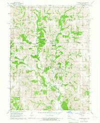 1964 Powersville1966 Print · USGSThe Missouri-Iowa borderlands come to life in the mid-sixties, centered on the railroad village of Powersville. Genealogists can trace local roots across numerous burial sites like Wyreka Cem, Edmond Cem, and the tracks of the Milwaukee Road.
 - 1974 Map of Green City NW, 1975 Print
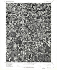 1974 Green City NW1975 Print · USGSThe northern Missouri landscape near the Iowa border comes into focus in the mid-1970s, revealing a detailed agricultural grid. Genealogists and local historians can trace the exact footprint of farmsteads and the streets of Unionville.
 - 1974 Map of Green City NE, 1976 Print
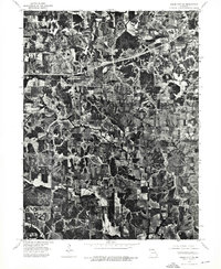 1974 Green City NE1976 Print · USGSIn the mid-1970s, the rural landscapes of Putnam County maintained a patchwork of dense timber and productive farmland. Genealogists and local historians can trace the precise layout of homesteads and road networks near Hartford and Glayville.
 - 1974 Map of Green City SE, 1976 Print
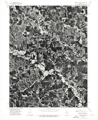 1974 Green City SE1976 Print · USGSCovers Putnam County, including Sidney, Greencastle, and other nearby areas
 - 1974 Map of Queen City NW, 1976 Print
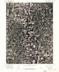 1974 Queen City NW1976 Print · USGSSchuyler County farmland is captured in remarkable aerial detail during the mid-seventies, showing the rural landscape just north of Queen City. Genealogists and local historians can pinpoint farmsteads near Livonia and trace the winding course of the Chariton River past Worthington.
 - 1979 Map of Graysville
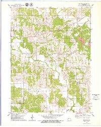 1979 Graysville1979 Print · USGSNorthern Missouri's rural townships are documented here during the late nineteen-seventies, showing a landscape of small creek-side settlements and family farms. Genealogists can trace local roots through numerous landmarks like Bunker Cem, Hartford, and the Rehobeth Ch.
 - 1979 Map of Livonia
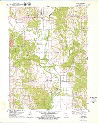 1979 Livonia1979 Print · USGSNortheastern Missouri farmland and river bottoms are captured here in the late seventies as the rural landscape transitioned between old rail eras and modern agriculture. Researchers can trace the Old RR Grade near Worthington or locate numerous historic burial sites like Jimtown Cem and Gillespie Cem.
 - 1979 Map of Connelsville
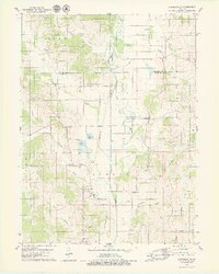 1979 Connelsville1979 Print · USGSAdair County during the late 1970s shows a landscape of river-bottom farms and small rural settlements centered on the Chariton River. Genealogists can trace family history through numerous remote burial sites like Nineveh Cem and Mulberry Cem or locate the Old Railroad Grade near Connelsville.
 - 1979 Map of Unionville East
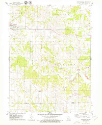 1979 Unionville East1979 Print · USGSNorthern Missouri agriculture meets industrial change in the late seventies as local roads connect farming townships with new extractive sites. Genealogists can trace family names through numerous landmarks, including Christian Home Ch, Thompson Cem, and Rosewood.
 - 1979 Map of Stahl
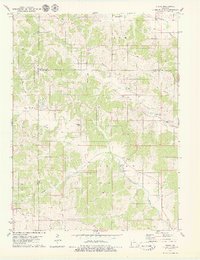 1979 Stahl1979 Print · USGSAdair and Putnam Counties appear in the late seventies as a landscape of rural townships and family homesteads. Genealogists and historians can trace the Old Railroad Grade or locate numerous burial sites like Branstutter Cem and Shibleys Point Cem.
 - 1979 Map of Lake Thunderhead, 1980 Print
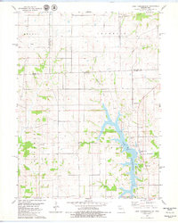 1979 Lake Thunderhead1980 Print · USGSThe Missouri-Iowa borderlands underwent significant change in the late seventies as the waters of Lake Thunderhead reshaped the terrain. Genealogists and local historians can locate long-standing landmarks like Genoa, Franklin Ch, and Union Cem alongside newer developments.
Showing maps 1-25 of 95
Top cities of Putnam County
- Unionville historical maps
- Livonia historical maps
- Lucerne historical maps
- Worthington historical maps
- Powersville historical maps
Frequently asked questions
- What are the different types of historical maps available for Putnam County?
- What is the oldest map of Putnam County?
- Where can I purchase historical maps of Putnam County for my home or office?
- Where can I download high-res historical maps of Putnam County?
- Are there historical topographic maps available for Putnam County?
- Is there historical aerial imagery available for Putnam County?
- Where are historical maps of Putnam County sourced from?