2000s (21st Century) Maps of Putnam County, Missouri
Explore 62 historic maps of Putnam County from the 2000s (21st Century). These maps offer a rare glimpse into what life looked like during the 2000s — showing old roads, neighborhoods, homes, and landmarks that have changed or disappeared over time.
Whether you're researching your family's past, planning a metal detecting trip, or studying how Putnam County's landscape evolved across the 2000s, these high-resolution maps are a powerful tool for exploring the history of this region.
- Focus on a specific era: All maps on this page are from the 2000s, giving you a focused view of this time period.
- See what’s changed: Compare century-old streets, trails, and buildings to today's modern landscape using overlays and satellite layers.
- Research with precision: Use these maps for genealogy, historical research, land use analysis, or educational projects.
- View, download, or print: Maps are fully viewable online in high resolution, and can be downloaded or printed for your own records.
Start exploring Putnam County's history through authentic maps from the 2000s. This is your window into the past.
Putnam County, MO maps
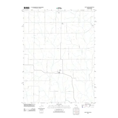
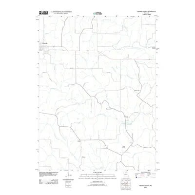
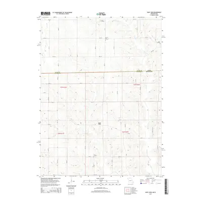
(62)- 2010 Map of Saint John, 2010 Print
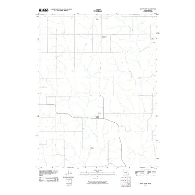 2010 Saint John2010 Print · USGSCovers Putnam County, including Saint John, Wayne County, and other nearby areas
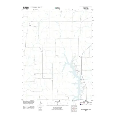
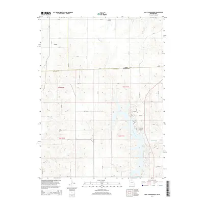
 - 2010 Map of Lake Thunderhead, 2010 Print
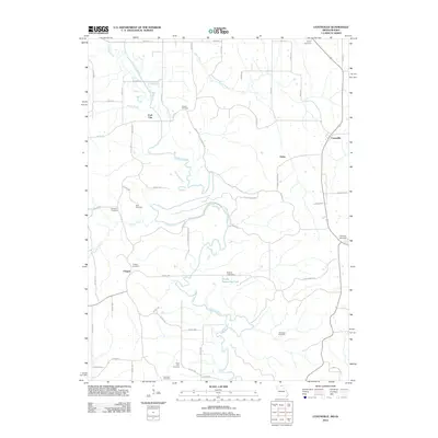
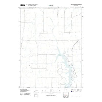 2010 Lake Thunderhead2010 Print · USGSCovers Putnam County, including Genoa, Appanoose County, and other nearby areas
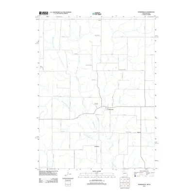
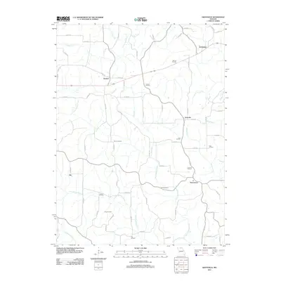
 - 2010 Map of Powersville, 2010 Print
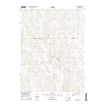
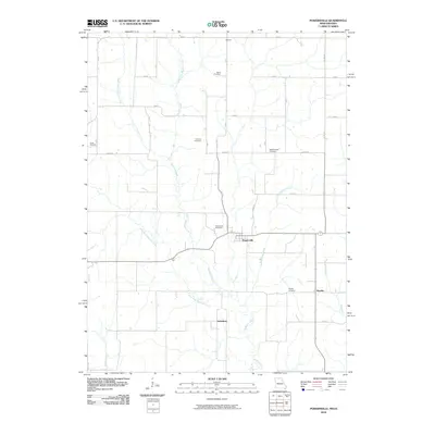 2010 Powersville2010 Print · USGSCovers Putnam County, including Powersville, Wyreka, and other nearby areas
 - 2010 Map of Mendota, 2010 Print
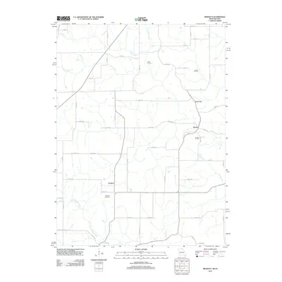
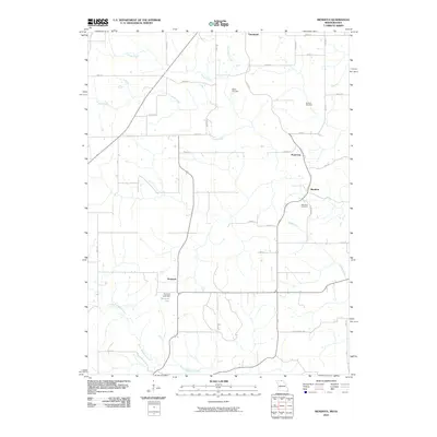 2010 Mendota2010 Print · USGSCovers Putnam County, including Cincinnati, Mendota, and other nearby areas
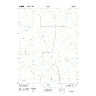
 - 2010 Map of Omaha, 2010 Print
 2010 Omaha2010 Print · USGSCovers Putnam County, including Omaha, Chariton, and other nearby areas
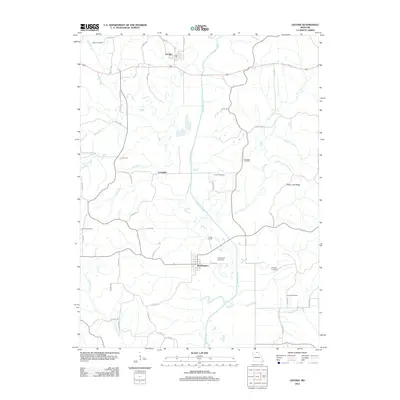
 - 2010 Map of Coatsville, 2010 Print
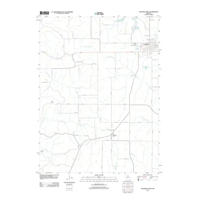
 2010 Coatsville2010 Print · USGSCovers Putnam County, including Chapel, Coal City, and other nearby areas
 - 2012 Map of Connelsville, 2012 Print
 2012 Connelsville2012 Print · USGSCovers Putnam County, including Lowground, Connelsville, and other nearby areas
 - 2012 Map of Stahl, 2012 Print
 2012 Stahl2012 Print · USGSCovers Putnam County, including Shibleys Point, Stahl, and other nearby areas
 - 2012 Map of Pollock NW, 2012 Print
 2012 Pollock NW2012 Print · USGSCovers Putnam County, including Quinn, Terre Haute, and other nearby areas
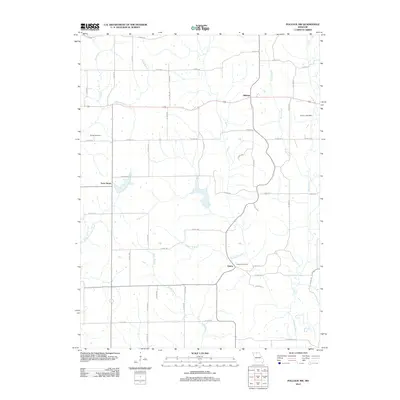
 - 2012 Map of Lucerne, 2012 Print
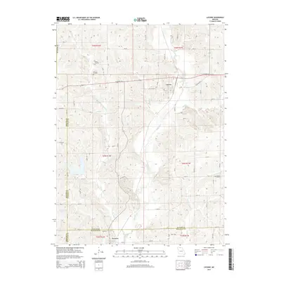
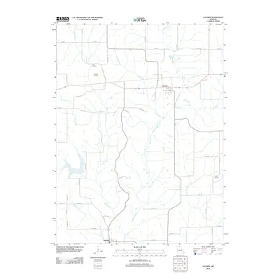 2012 Lucerne2012 Print · USGSCovers Putnam County, including Newtown, Lucerne, and other nearby areas
 - 2012 Map of Powersville, 2012 Print
 2012 Powersville2012 Print · USGSCovers Putnam County, including Powersville, Wyreka, and other nearby areas
 - 2012 Map of Unionville West, 2012 Print
 2012 Unionville West2012 Print · USGSCovers Putnam County, including Unionville, Lemons, and other nearby areas
 - 2012 Map of Saint John, 2012 Print
 2012 Saint John2012 Print · USGSCovers Putnam County, including Saint John, Wayne County, and other nearby areas
 - 2012 Map of Graysville, 2012 Print
 2012 Graysville2012 Print · USGSCovers Putnam County, including Elko, Glendale, and other nearby areas
 - 2012 Map of Coatsville, 2012 Print
 2012 Coatsville2012 Print · USGSCovers Putnam County, including Chapel, Coal City, and other nearby areas
 - 2012 Map of Mendota, 2012 Print
 2012 Mendota2012 Print · USGSCovers Putnam County, including Cincinnati, Mendota, and other nearby areas
 - 2012 Map of Unionville East, 2012 Print
 2012 Unionville East2012 Print · USGSCovers Putnam County, including Unionville, Rosewood, and other nearby areas
 - 2012 Map of Omaha, 2012 Print
 2012 Omaha2012 Print · USGSCovers Putnam County, including Omaha, Chariton, and other nearby areas
 - 2012 Map of Livonia, 2012 Print
 2012 Livonia2012 Print · USGSCovers Putnam County, including Livonia, Worthington, and other nearby areas
 - 2012 Map of Lake Thunderhead, 2012 Print
 2012 Lake Thunderhead2012 Print · USGSCovers Putnam County, including Genoa, Appanoose County, and other nearby areas
 - 2014 Map of Powersville, 2014 Print
 2014 Powersville2014 Print · USGSCovers Putnam County, including Powersville, Wyreka, and other nearby areas
 - 2014 Map of Lucerne, 2014 Print
 2014 Lucerne2014 Print · USGSCovers Putnam County, including Newtown, Lucerne, and other nearby areas
 - 2014 Map of Unionville West, 2014 Print
 2014 Unionville West2014 Print · USGSCovers Putnam County, including Unionville, Lemons, and other nearby areas
 - 2014 Map of Saint John, 2014 Print
 2014 Saint John2014 Print · USGSCovers Putnam County, including Saint John, Wayne County, and other nearby areas
 - 2015 Map of Lake Thunderhead, 2015 Print
 2015 Lake Thunderhead2015 Print · USGSCovers Putnam County, including Genoa, Appanoose County, and other nearby areas
Showing maps 1-25 of 62
Top cities of Putnam County
- Unionville historical maps
- Livonia historical maps
- Lucerne historical maps
- Worthington historical maps
- Powersville historical maps
Frequently asked questions
- What are the different types of historical maps available for Putnam County?
- What is the oldest map of Putnam County?
- Where can I purchase historical maps of Putnam County for my home or office?
- Where can I download high-res historical maps of Putnam County?
- Are there historical topographic maps available for Putnam County?
- Is there historical aerial imagery available for Putnam County?
- Where are historical maps of Putnam County sourced from?