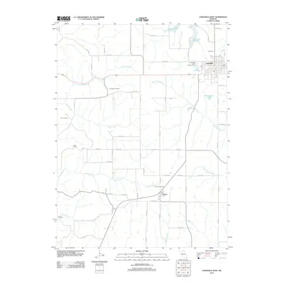
2012 Map of Unionville West
USGS Topo · Published 2012About this map
Unionville anchors the northeastern corner of this northern Missouri landscape, characterized by its network of reservoirs and agricultural drainage. Several water bodies, including Unionville Reservoir, Lake McKinley, and Lake Thunderbird, illustrate the importance of water management for the community, while the Unionville Old City Lake Dam marks a specific point of infrastructure. To the south, the smaller settlement of Lemons sits near the headwaters of East Locust Creek.
Find a feature on this map
65 named features on this map. Tap any name to fly to it.
Don’t see what you’re looking for? This feature index may not catch every label — zoom into the map to look around manually.
Map Details
Editions of this 2012 Unionville West Map
This is the sole edition of this map. No revisions or reprints were ever made.
Other maps of this area

1912 · Green City
USGS Topo · 1:62,500

1914 · Green City
USGS Topo · 1:62,500

1939 · Centerville
USGS Topo · 1:62,500

1941 · Centerville
USGS Topo · 1:62,500

1942 · Seymour
USGS Topo · 1:62,500

1944 · Seymour
USGS Topo · 1:62,500

1954 · Centerville
USGS Topo · 1:250,000

1957 · Centerville
USGS Topo · 1:250,000

1958 · Centerville
USGS Topo · 1:250,000

1964 · Pollock NW
USGS Topo · 1:24,000