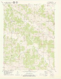
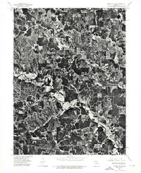
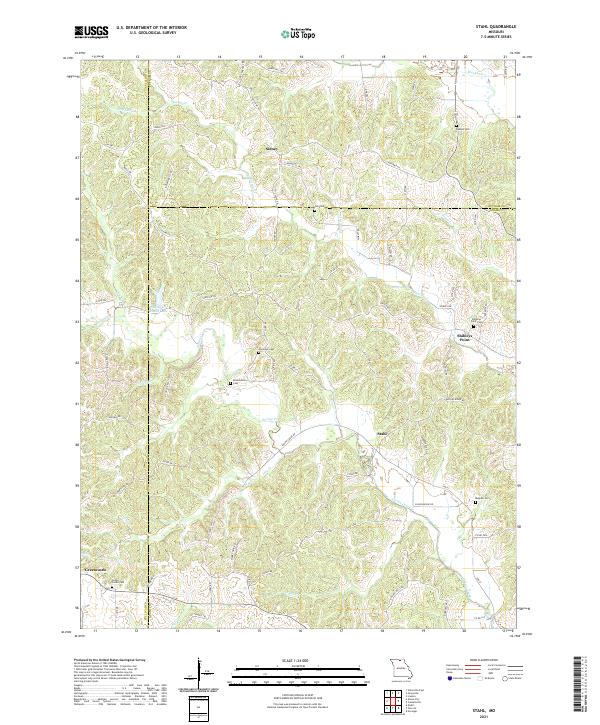
1979 Map of Stahl
USGS Topo · Published 1979This historical map portrays the area of Stahl in 1979, primarily covering Adair County as well as portions of Sullivan County and Putnam County. Featuring a scale of 1:24000, this map provides a highly detailed snapshot of the terrain, roads, buildings, counties, and historical landmarks in the Stahl region at the time. Published in 1979, it is the sole known edition of this map.
Find a feature on this map
30 named features on this map. Tap any name to fly to it.
Don’t see what you’re looking for? This feature index may not catch every label — zoom into the map to look around manually.
Map Details
Editions of this 1979 Stahl Map
This is the sole edition of this map. No revisions or reprints were ever made.
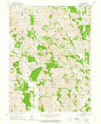
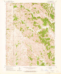
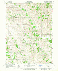
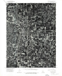
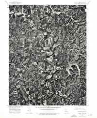
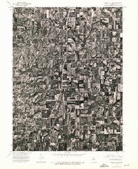
Historical Maps of Putnam County Through Time
14 maps found
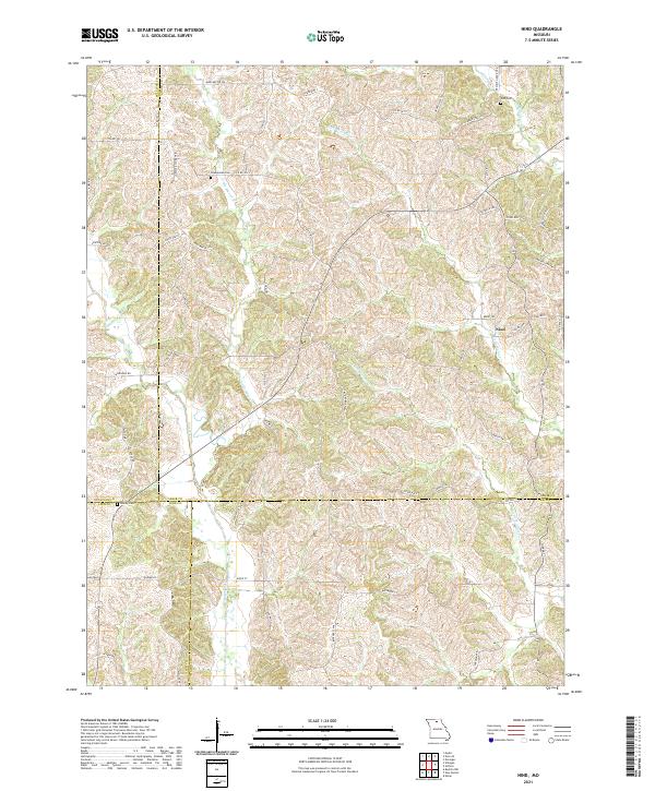
1963 Nind
Adair County, MO
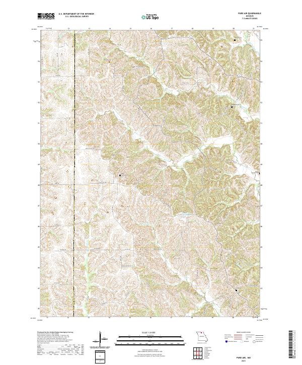
1963 Pure Air
Adair County, MO
1966 Willmathsville
Adair County, MO
1974 Green City SE
Adair County, MO
1974 Kirksville NE
Adair County, MO
1974 Kirksville NW
Adair County, MO
1974 Queen City SE
Adair County, MO
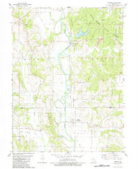
1979 Gifford
Adair County, MO
1979 Stahl
Adair County, MO
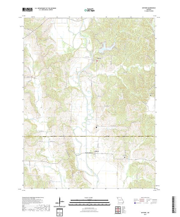
2021 Gifford
Adair County, MO
2021 Nind
Adair County, MO
2021 Pure Air
Adair County, MO
2021 Stahl
Adair County, MO
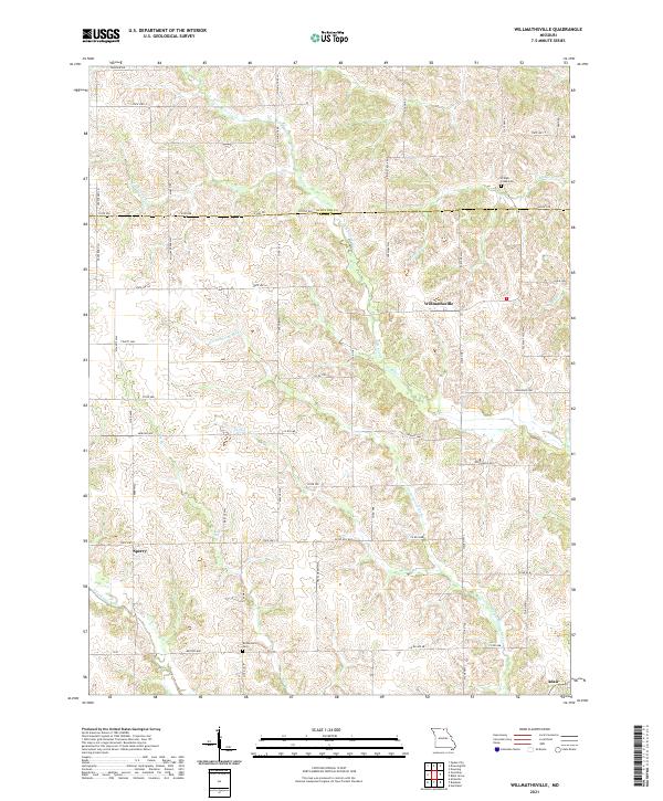
2021 Willmathsville
Adair County, MO