2010s Maps of Randolph County, Missouri
Explore 42 historic maps of Randolph County from the 2010s. These maps offer a rare glimpse into what life looked like during the 2010s — showing old roads, neighborhoods, homes, and landmarks that have changed or disappeared over time.
Whether you're researching your family's past, planning a metal detecting trip, or studying how Randolph County's landscape evolved across the 2010s, these high-resolution maps are a powerful tool for exploring the history of this region.
- Focus on a specific era: All maps on this page are from the 2010s, giving you a focused view of this time period.
- See what’s changed: Compare century-old streets, trails, and buildings to today's modern landscape using overlays and satellite layers.
- Research with precision: Use these maps for genealogy, historical research, land use analysis, or educational projects.
- View, download, or print: Maps are fully viewable online in high resolution, and can be downloaded or printed for your own records.
Start exploring Randolph County's history through authentic maps from the 2010s. This is your window into the past.
Randolph County, MO maps
(42)- 2012 Map of College Mound, 2012 Print
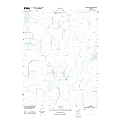 2012 College Mound2012 Print · USGSRandolph County in the early twenty-first century is a landscape of quiet rural settlements and significant water management. Genealogists and local historians can locate Barnhart Cemetery and trace family-named landmarks like Thomas Brothers Lake Dam and Holiday Acres Lake.
 - 2012 Map of Sturgeon, 2012 Print
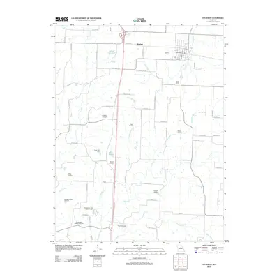 2012 Sturgeon2012 Print · USGSSturgeon and the rural landscapes of northern Boone County are captured here in the early twenty-first century. Genealogists and local historians can locate several family cemeteries such as Nailer Cemetery and prominent landmarks like The Pinnacles.
 - 2012 Map of Duncans Bridge, 2012 Print
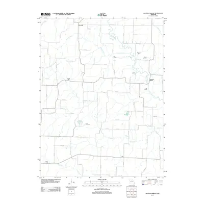 2012 Duncans Bridge2012 Print · USGSMacon County's agricultural heartland is documented here in the early 21st century, centered on the winding Middle Fork Salt River. Genealogists and local historians can locate many rural landmarks including Levick Mill, the Dean Cemetery, and the community of Woodville.
 - 2012 Map of Armstrong, 2012 Print
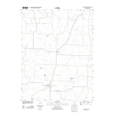 2012 Armstrong2012 Print · USGSHoward County's agricultural heartland is documented here in the early twenty-first century, centered on the communities of Armstrong and Roanoke. Researchers can trace local lineage and land use through the Wesley Chapel Cemetery and namesake landmarks like Stroupe Lake Dam.
 - 2012 Map of Clifton Hill, 2012 Print
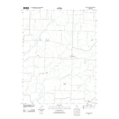 2012 Clifton Hill2012 Print · USGSRandolph County's rural heartland is captured here in the early twenty-first century, centered on the settlement of Clifton Hill. Genealogists and historians can trace family locations through several historic grounds, including Gross Cemetery and Finnell Cemetery.
 - 2012 Map of Clark, 2012 Print
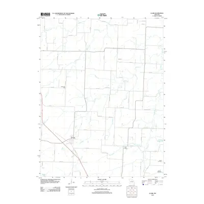 2012 Clark2012 Print · USGSAgricultural life in central Missouri is centered around Clark and the smaller community of Davenport during the early twenty-first century. Researchers can locate family landmarks like Mount Pisgah Cemetery and trace several water systems including Big Creek and Lick Fork.
 - 2012 Map of Moberly, 2012 Print
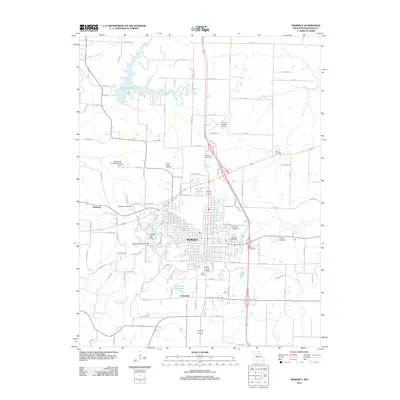 2012 Moberly2012 Print · USGSMoberly and its surrounding Randolph County landscapes are shown here in the early 21st century, centered on the city's complex street grid. Researchers can find several local burying grounds like Oakland Cemetery and Vince Cemetery or trace the drainage of the Elk Fork Salt River.
 - 2012 Map of Harrisburg, 2012 Print
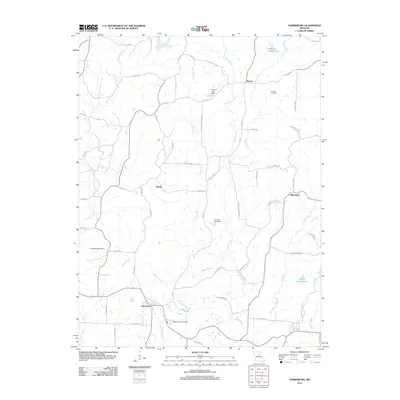 2012 Harrisburg2012 Print · USGSBoone County, Missouri, is captured here in the early twenty-first century, showing a rural landscape of winding creeks and small settlements. Genealogists can locate Robison Cemetery or trace the family-named roads like N Barber Rd near the communities of Harrisburg and Rileysburg.
 - 2012 Map of Middle Grove, 2012 Print
 2012 Middle Grove2012 Print · USGSMonroe County settlements like Middle Grove and Evansville appear here in the early 2010s, surrounded by the waters of the Elk Fork Salt River. Genealogists and local historians can locate the Cottingham Cemetery and trace land around Johnson Lake.
 - 2012 Map of Prairie Hill, 2012 Print
 2012 Prairie Hill2012 Print · USGSRandolph County's rural landscape is captured here in the early twenty-first century, centered on the sprawling waters of the Thomas Hill Reservoir. Researchers can locate legacy family landmarks such as Fawks Cemetery and the Kaseyville Post Office among the river forks.
 - 2012 Map of Higbee, 2012 Print
 2012 Higbee2012 Print · USGSHigbee and the surrounding Randolph County countryside are captured here in the early twenty-first century, showing a landscape defined by its creek valleys. Researchers can trace ancestral sites at Bagby Cemetery and Whitmore Cemetery or locate landmarks like Higbee Lake and Yates.
 - 2012 Map of Huntsville, 2012 Print
 2012 Huntsville2012 Print · USGSHuntsville and its surrounding Missouri countryside are captured here in the early 2010s, showing a landscape shaped by the East Fork Little Chariton River. Genealogists and local historians can locate Trinity Cemetery, Randolph Springs, and the residential development at French Creek Farms Lake.
 - 2012 Map of Renick, 2012 Print
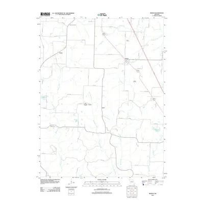 2012 Renick2012 Print · USGSIn this 2012 survey of central Missouri, rural Randolph County reveals a landscape shaped by winding creeks and historic burial grounds. Genealogists and local historians can trace family locations near Anderson Cemetery, Davis Cemetery, or the small settlement of Renick.
 - 2012 Map of Jacksonville, 2012 Print
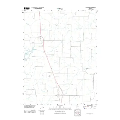 2012 Jacksonville2012 Print · USGSRandolph County in the early twenty-first century reveals a landscape of enduring rural settlements and historic family sites. Genealogists can locate several significant burial grounds like Grand Prairie Cemetery and the site of the Snow Post Office.
 - 2014 Map of Clark, 2014 Print
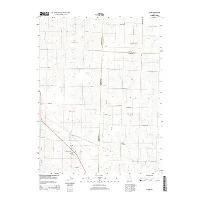 2014 Clark2014 Print · USGSNorth central Missouri farmland and the tri-county borders are captured here in the early twenty-first century. Genealogists can trace family locations near Clark and find burial sites at Chapel Grove Cemetery or the Mount Pisgah Cemetery along the local creek forks.
 - 2014 Map of Renick, 2014 Print
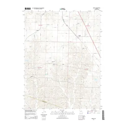 2014 Renick2014 Print · USGSRenick and southern Randolph County are shown in the early twenty-first century as a landscape of rural homesteads and rolling creek drainages. Researchers can trace family history through several burial grounds like Tanton Cemetery or locate the Hess-McKeown Airport and City of Higbee Reservoir.
 - 2014 Map of Huntsville, 2014 Print
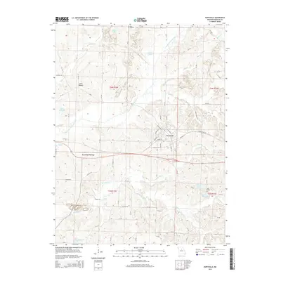 2014 Huntsville2014 Print · USGSHuntsville and the surrounding Missouri countryside are captured here in the early twenty-first century, showing the established town grid and rural townships. Genealogists can locate family sites near Trinity Cemetery, Fort Henry, and the mineral waters of Randolph Springs.
 - 2014 Map of Sturgeon, 2014 Print
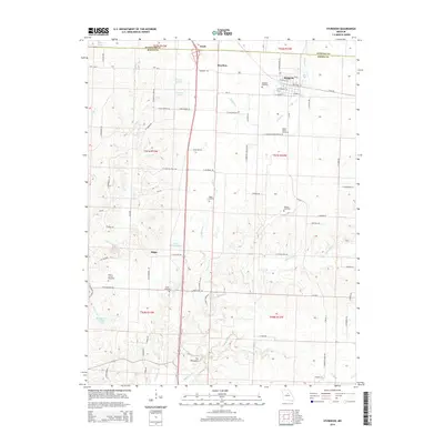 2014 Sturgeon2014 Print · USGSNorthern Boone County comes into focus in this early 21st-century survey of the communities around Sturgeon and Riggs. Genealogists and local historians can trace family ties through numerous rural burial sites like Mount Horeb Cemetery and Palmer Cemetery.
 - 2014 Map of Moberly, 2014 Print
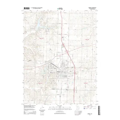 2014 Moberly2014 Print · USGSMoberly and its surrounding Randolph County landscapes are captured in detail during the early twenty-first century. Researchers can trace local genealogy and institutional history through several burial grounds and colleges, such as Oakland Cemetery and the Moberly Area Community Coll.
 - 2014 Map of Duncans Bridge, 2014 Print
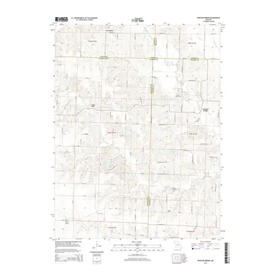 2014 Duncans Bridge2014 Print · USGSNorth-central Missouri's rural landscape is captured here in the early twenty-first century at the intersection of four counties. Researchers can trace ancestral sites at Dean Cemetery and Hughes Cemetery or locate old community hubs like Levick Mill and Duncans Bridge.
 - 2014 Map of College Mound, 2014 Print
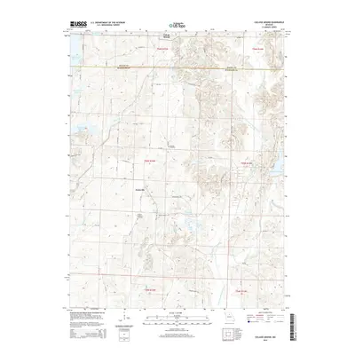 2014 College Mound2014 Print · USGSMissouri's rural heartland is documented here in the 2010s, centered on the intersection of Macon and Randolph counties. Researchers can locate the historic footprints of College Mound and Darksville or find family lineage at Hickory Grove Cemetery and Barnhart Cemetery.
 - 2014 Map of Prairie Hill, 2014 Print
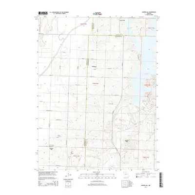 2014 Prairie Hill2014 Print · USGSThe rural borderlands of Randolph and Chariton Counties are shown here in the early 2010s, where the Chariton River valley meets the Thomas Hill Reservoir. Researchers can trace old property access and community landmarks from Prairie Hill Cemetery and Fawks Cemetery to the crossroads at Hubbard.
 - 2014 Map of Armstrong, 2014 Print
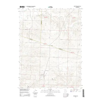 2014 Armstrong2014 Print · USGSHoward and Randolph counties meet in this 2014 survey of the Missouri interior, centered on the historic town of Armstrong. Researchers can trace local lineage at Wesley Chapel Cemetery and Walnut Ridge Cemetery or follow the winding banks of Silver Creek.
 - 2014 Map of Higbee, 2014 Print
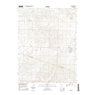 2014 Higbee2014 Print · USGSHigbee and the surrounding Randolph County countryside are detailed here during the early twenty-first century. Genealogists and local historians can trace family locations through sites like Bagby Cemetery, Whitmore Cemetery, and the rural settlement of Yates.
 - 2014 Map of Harrisburg, 2014 Print
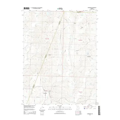 2014 Harrisburg2014 Print · USGSMissouri's Boone and Howard counties are captured in the early 21st century, showing a rural landscape defined by creek drainages and crossroad hamlets. Researchers can locate family sites near Harrisburg Cemetery, the settlement of Rileysburg, and the winding Moniteau Cr.
Showing maps 1-25 of 42
Top cities of Randolph County
- Moberly historical maps
- Huntsville historical maps
- Higbee historical maps
- Cairo historical maps
- Clark historical maps
- Renick historical maps
See more
Frequently asked questions
- What are the different types of historical maps available for Randolph County?
- What is the oldest map of Randolph County?
- Where can I purchase historical maps of Randolph County for my home or office?
- Where can I download high-res historical maps of Randolph County?
- Are there historical topographic maps available for Randolph County?
- Is there historical aerial imagery available for Randolph County?
- Where are historical maps of Randolph County sourced from?