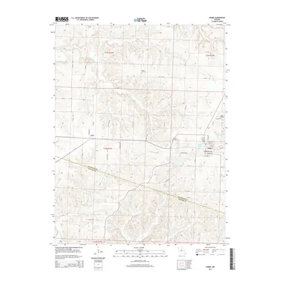
2014 Map of Higbee
USGS Topo · Published 2014About this map
Higbee serves as the primary hub of this landscape at the southern edge of Randolph County, where a grid of streets including Grand Ave and Adams St define the local center. To the west, the smaller settlement of Yates is situated along the rural road network. The terrain is defined by a dense drainage system where Silver Cr, Turner Fork, and Bonne Femme Cr carve through the countryside, alongside smaller tributaries like Hungry Mother Cr. Local history is anchored by several burial grounds, including Bagby Cemetery and Whitmore Cemetery. Water infrastructure is prominent near the main township, featuring the City of Higbee Reservoir and Higbee Lake, which provide essential resources for the community. The map also delineates the jurisdictional boundary where Randolph Co Howard Co meet, marking a transition between these two Missouri counties.
Find a feature on this map
66 named features on this map. Tap any name to fly to it.
Don’t see what you’re looking for? This feature index may not catch every label — zoom into the map to look around manually.
Map Details
Editions of this 2014 Higbee Map
This is the sole edition of this map. No revisions or reprints were ever made.
Other maps of this area

1890 · Moberly
USGS Topo · 1:125,000

1890 · Glasgow
USGS Topo · 1:125,000

1917 · Sturgeon
USGS Topo · 1:62,500

1953 · Moberly
USGS Topo · 1:250,000

1953 · Fayette
USGS Topo · 1:24,000

1953 · Burton
USGS Topo · 1:24,000

1953 · Renick
USGS Topo · 1:24,000

1953 · Huntsville
USGS Topo · 1:24,000

1953 · Higbee
USGS Topo · 1:24,000

1953 · Armstrong
USGS Topo · 1:24,000