2000s (21st Century) Maps of Doniphan, Missouri
Explore 8 historic maps of Doniphan from the 2000s (21st Century). These maps offer a rare glimpse into what life looked like during the 2000s — showing old roads, neighborhoods, homes, and landmarks that have changed or disappeared over time.
Whether you're researching your family's past, planning a metal detecting trip, or studying how Doniphan's landscape evolved across the 2000s, these high-resolution maps are a powerful tool for exploring the history of this region.
- Focus on a specific era: All maps on this page are from the 2000s, giving you a focused view of this time period.
- See what’s changed: Compare century-old streets, trails, and buildings to today's modern landscape using overlays and satellite layers.
- Research with precision: Use these maps for genealogy, historical research, land use analysis, or educational projects.
- View, download, or print: Maps are fully viewable online in high resolution, and can be downloaded or printed for your own records.
Start exploring Doniphan's history through authentic maps from the 2000s. This is your window into the past.
Doniphan, MO maps
(8)- 2011 Map of Doniphan North, 2011 Print
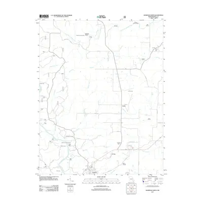 2011 Doniphan North2011 Print · USGSCovers Doniphan, including Hill Top, Pleasant Grove, and other nearby areas
 - 2012 Map of Doniphan South, 2012 Print
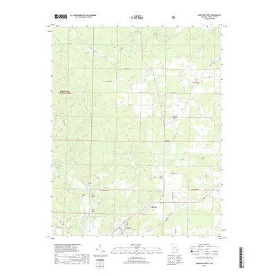
 2012 Doniphan South2012 Print · USGSCovers Doniphan, including Pratt, Owenmont, and other nearby areas
 - 2015 Map of Doniphan South, 2015 Print
 2015 Doniphan South2015 Print · USGSCovers Doniphan, including Pratt, Owenmont, and other nearby areas
 - 2015 Map of Doniphan North, 2015 Print
 2015 Doniphan North2015 Print · USGSCovers Doniphan, including Hill Top, Pleasant Grove, and other nearby areas
 - 2017 Map of Doniphan North, 2017 Print
 2017 Doniphan North2017 Print · USGSCovers Doniphan, including Hill Top, Pleasant Grove, and other nearby areas
 - 2017 Map of Doniphan South, 2017 Print
 2017 Doniphan South2017 Print · USGSCovers Doniphan, including Pratt, Owenmont, and other nearby areas
 - 2021 Map of Doniphan South, 2021 Print
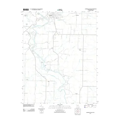
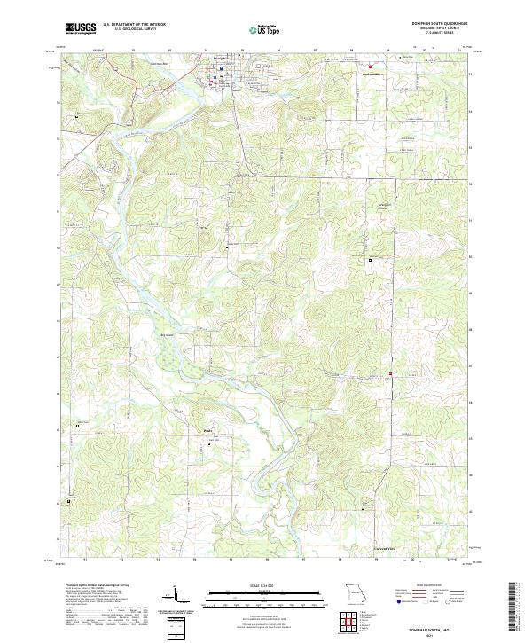 2021 Doniphan South2021 Print · USGSRipley County south of Doniphan is documented here in the early twenty-first century as the Current River winds toward the Arkansas border. Researchers can locate numerous family burial grounds including Mizell Cem and Pope Chapel Cem alongside the river's Big Island.
 - 2021 Map of Doniphan North, 2021 Print
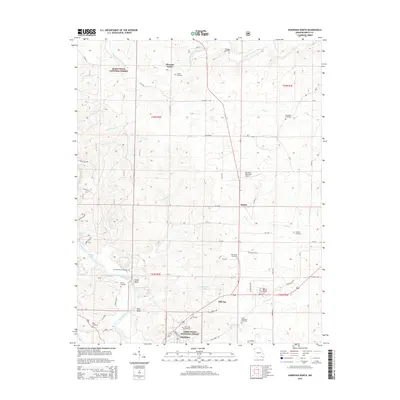
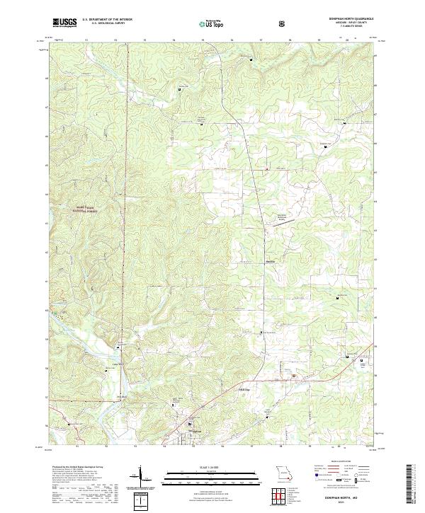 2021 Doniphan North2021 Print · USGSDoniphan and the surrounding Ripley County hills are shown here in the early twenty-first century, centered on the Current River valley. Genealogists can locate numerous local burial sites including Elizabeth Cem, Worley Cem, and Bradley Cem.
End of results
Showing maps 1-8 of 8
Top cities near Doniphan
- Corning historical maps
- Naylor historical maps
- Maynard historical maps
- Grandin historical maps
- Success historical maps
Top neighborhoods of Doniphan
Frequently asked questions
- What are the different types of historical maps available for Doniphan?
- What is the oldest map of Doniphan?
- Where can I purchase historical maps of Doniphan for my home or office?
- Where can I download high-res historical maps of Doniphan?
- Are there historical topographic maps available for Doniphan?
- Is there historical aerial imagery available for Doniphan?
- Where are historical maps of Doniphan sourced from?