2020s Maps of Saint Francois County, Missouri
Explore 19 historic maps of Saint Francois County from the 2020s. These maps offer a rare glimpse into what life looked like during the 2020s — showing old roads, neighborhoods, homes, and landmarks that have changed or disappeared over time.
Whether you're researching your family's past, planning a metal detecting trip, or studying how Saint Francois County's landscape evolved across the 2020s, these high-resolution maps are a powerful tool for exploring the history of this region.
- Focus on a specific era: All maps on this page are from the 2020s, giving you a focused view of this time period.
- See what’s changed: Compare century-old streets, trails, and buildings to today's modern landscape using overlays and satellite layers.
- Research with precision: Use these maps for genealogy, historical research, land use analysis, or educational projects.
- View, download, or print: Maps are fully viewable online in high resolution, and can be downloaded or printed for your own records.
Start exploring Saint Francois County's history through authentic maps from the 2020s. This is your window into the past.
Saint Francois County, MO maps
(19)- 2021 Map of Sprott, 2021 Print
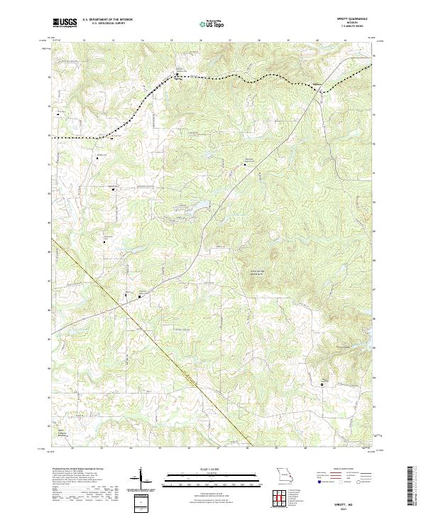 2021 Sprott2021 Print · USGSSte. Genevieve and St. Francois counties in the early 2020s are captured here during a period of rural stability. Genealogists can locate family landmarks like Rudy Cem, Oakland Cem, and McClintock Cem or trace the drainage of Hickory Cr.
 - 2021 Map of Graniteville, 2021 Print
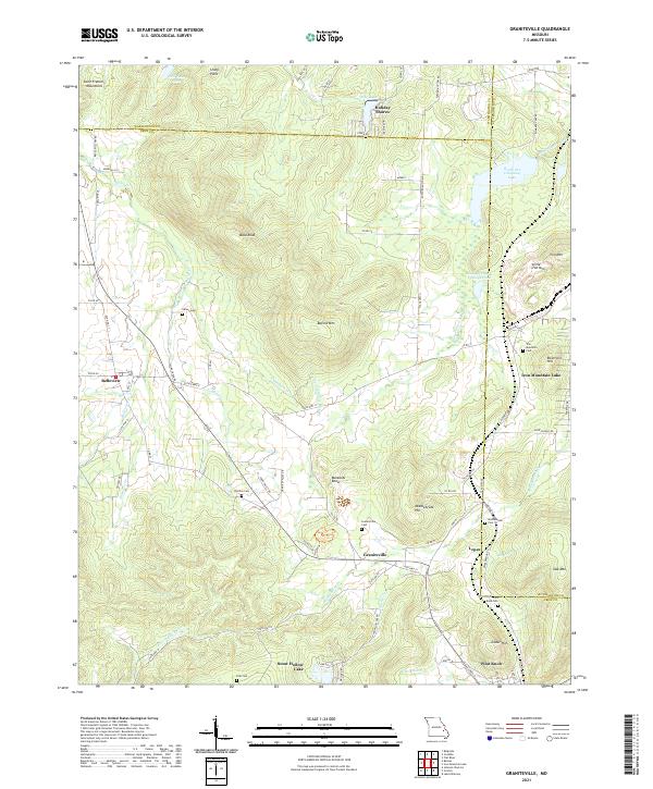 2021 Graniteville2021 Print · USGSThe mining and mountain heritage of Iron County is preserved here in the early twenty-first century. Researchers can trace family roots through numerous sites like Graniteville Cem, Middlebrook Cem, and the old residential lanes of Belleview.
 - 2021 Map of Bonne Terre, 2021 Print
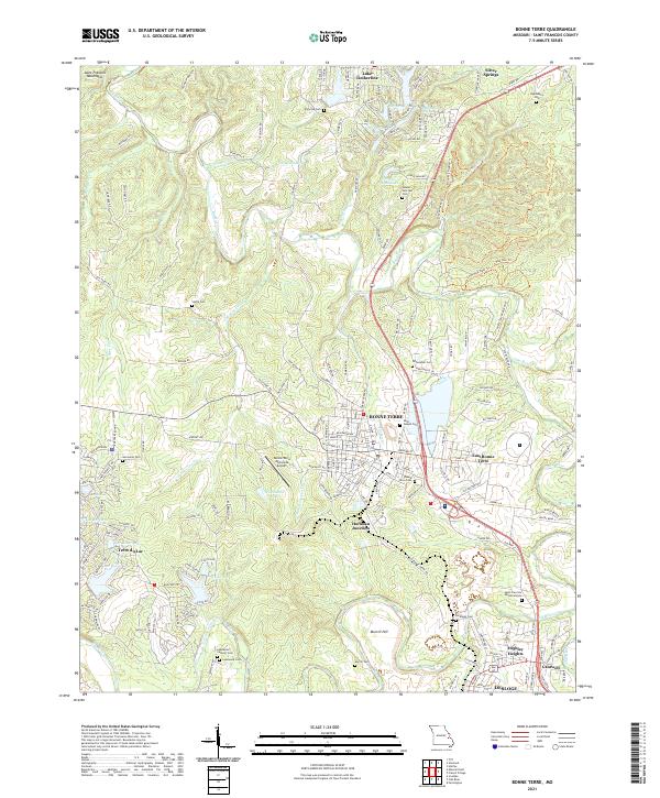 2021 Bonne Terre2021 Print · USGSModern St. Francois County comes into focus in this contemporary survey of the Missouri Lead Belt. Genealogists and local researchers can pinpoint numerous local burial sites including Smallpox Cem, Germania Cem, and Leadwood Catholic Cem.
 - 2021 Map of Mineral Point, 2021 Print
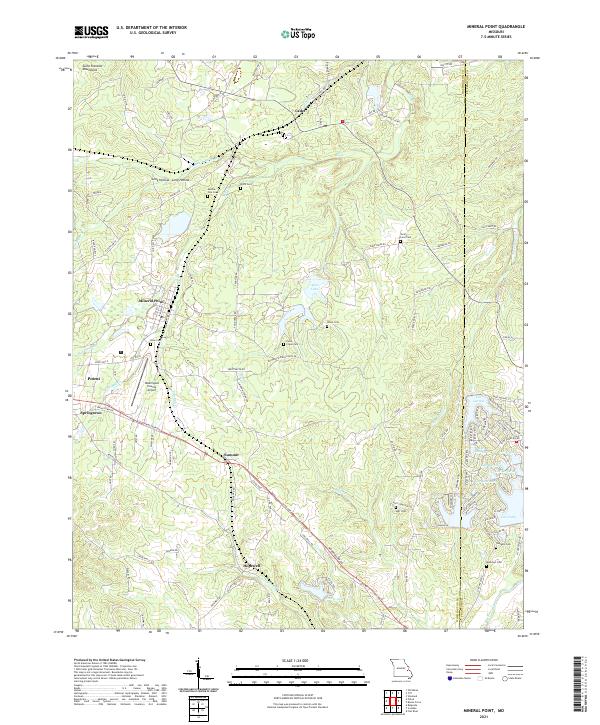 2021 Mineral Point2021 Print · USGSNear the eastern fringe of the Saint Francois Mountains in the 2020s, this area reflects a deep history of family settlement and rural development. Genealogists and historians can trace numerous rural burial grounds like Boas Cem and Westover Cem alongside established communities like Potosi and Mineral Point.
 - 2021 Map of Wachita Mountain, 2021 Print
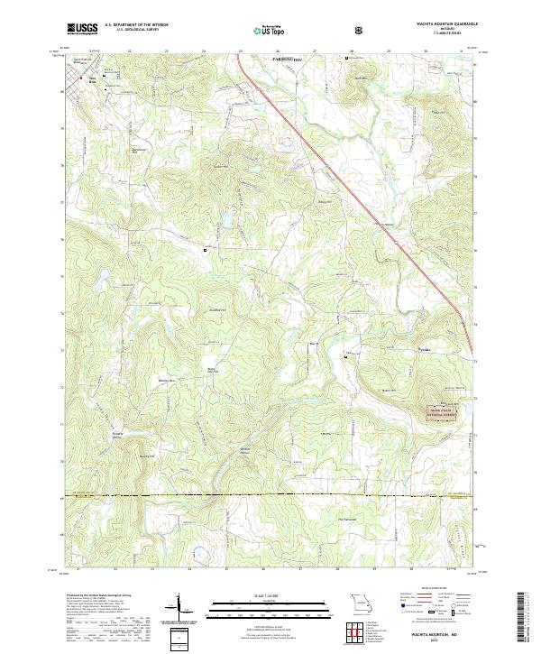 2021 Wachita Mountain2021 Print · USGSThe foothills of the Saint Francois Mountains in the early twenty-first century reveal a landscape of family-named peaks and hidden cemeteries. Genealogists can trace sites like Doe Run Memorial Cem and Herbst Cem near the old settlement at Doe Run.
 - 2021 Map of French Village, 2021 Print
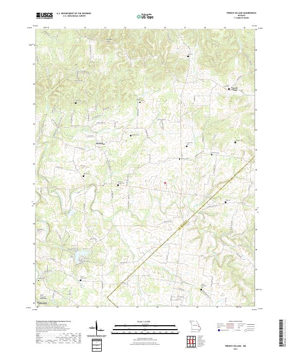 2021 French Village2021 Print · USGSThe borderlands of St. Francois and Ste. Genevieve counties are captured here in the early twenty-first century. Genealogists can locate numerous rural burial sites like Byington Cem and Saint Anne Cem near the historic settlements of French Village and Hazel Run.
 - 2021 Map of Farmington, 2021 Print
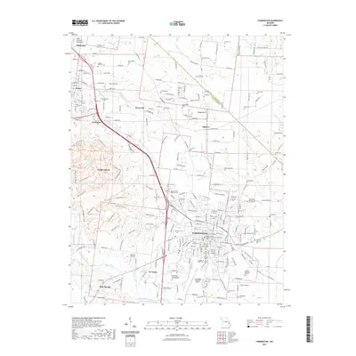 2021 Farmington2021 Print · USGSCovers Saint Francois County, including Farmington, Park Hills, and other nearby areas
 - 2021 Map of Womack, 2021 Print
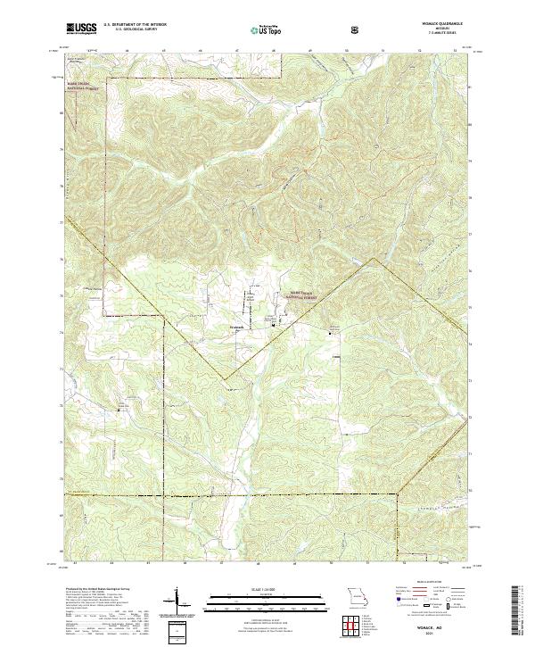 2021 Womack2021 Print · USGSSoutheast Missouri's mountain landscape is captured here in the early twenty-first century as it spans the borders of Ste. Genevieve, St. Francois, and Madison counties. Genealogists can locate family sites at the Silver Point Union Church Cem or trace the early paths of Old Jackson Rd and the Upper Castor River.
 - 2021 Map of Parker Lake, 2021 Print
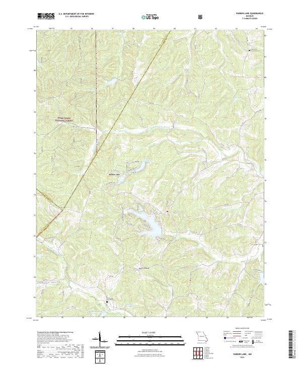 2021 Parker Lake2021 Print · USGSSoutheast Missouri at the dawn of the 2020s shows a landscape of deep timbered hollows and modern lakeside developments. Researchers can locate family roots at the Whitewater Christian Cem or trace the winding course of Nations Cr through Mark Twain National Forest.
 - 2021 Map of Lawrenceton, 2021 Print
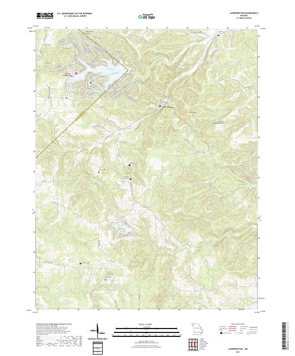 2021 Lawrenceton2021 Print · USGSSte. Genevieve County in the early twenty-first century reveals a landscape of deep hollows and family homesteads. Researchers can locate numerous family burial grounds, including the Patterson Family Cem, Jenning Cem, and the church at Little Vine Hill.
 - 2021 Map of Irondale, 2021 Print
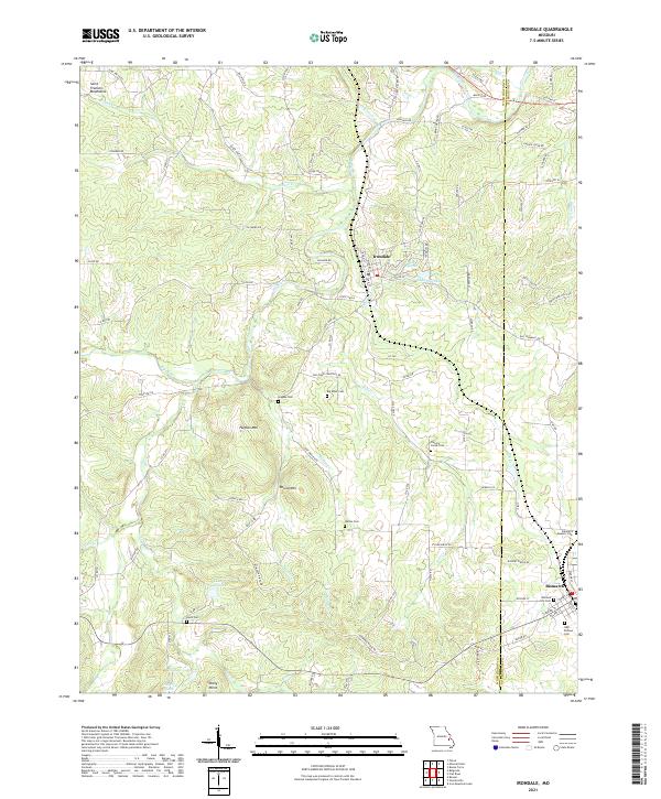 2021 Irondale2021 Print · USGSMissouri's ancient Saint Francois Mountains meet the Big River in the early twenty-first century, showcasing a landscape defined by deep-rooted family history. Genealogists can trace local lineages through several burial sites including Hughes Cemetery, Wallen Cemetery, and the Odd Fellows Cemetery.
 - 2021 Map of Iron Mountain Lake, 2021 Print
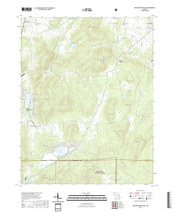 2021 Iron Mountain Lake2021 Print · USGSThe eastern Saint Francois Mountains come into focus in this recent survey of the Missouri Ozarks. Genealogists and historians can locate German Cem, Mineral City, and the residential layout of Iron Mountain Lake alongside peaks like Bread Tray Mtn.
 - 2021 Map of Flat River, 2021 Print
 2021 Flat River2021 Print · USGSSt. Francois County is shown at a modern crossroads of industrial history and recreation in this detailed view of the Missouri Lead Belt. Genealogists can trace several community burial sites like Odd Fellows Cem and Saint Johns Cem near towns like Elvins and Bismarck.
 - 2021 Map of Vineland, 2021 Print
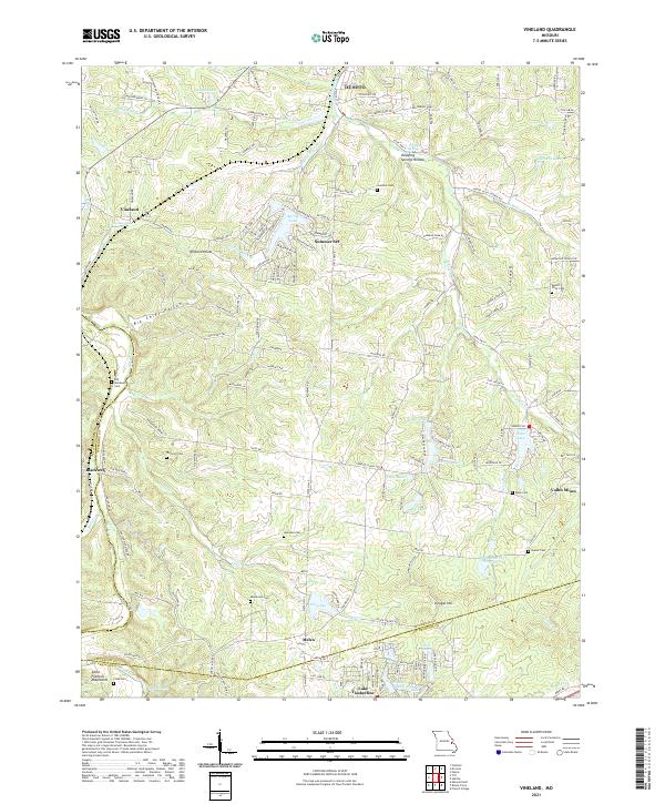 2021 Vineland2021 Print · USGSJefferson County’s hill country and the northern edge of the Saint Francois Mountains are shown here as they appeared in the early twenty-first century. Genealogists and local historians can locate many rural burial grounds like Moontown Cem, Vineyard Cem, and the old mining community of Valles Mines.
 - 2021 Map of Halifax, 2021 Print
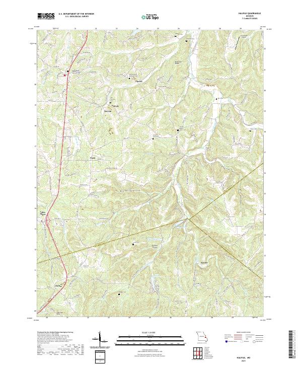 2021 Halifax2021 Print · USGSThe eastern Ozark borderlands are shown in detail as they appeared in 2021, centered on the historic mining and farming communities south of St. Louis. Genealogists and local historians can trace family burial sites at Old German Cem and Porter Cem, or locate long-standing settlements like Flucom and Valles Mines.
 - 2021 Map of Tiff, 2021 Print
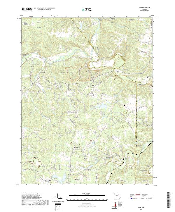 2021 Tiff2021 Print · USGSWashington County at the start of the 2020s shows a landscape deeply shaped by its mining and milling history. Researchers can trace rural lineages through the many family and community burial grounds like Goff Cem and Pinson Cem, or locate old settlements such as Bliss and Bellefontaine.
 - 2021 Map of Danby, 2021 Print
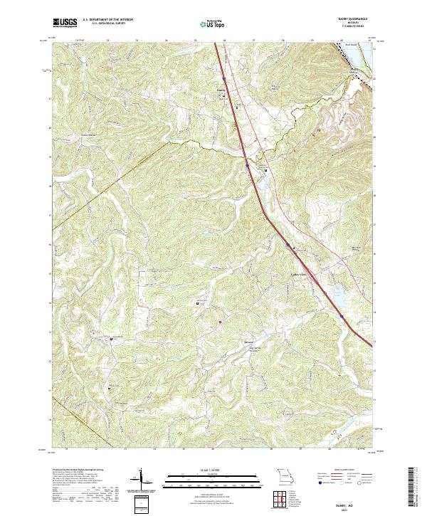 2021 Danby2021 Print · USGSThe eastern Ozark foothills come into focus in the early 2020s, revealing a landscape of winding hollows and rural crossroad communities. Researchers can trace family history through a network of local sites like Lebanon Baptist Cem, Danby Cem, and Skaggs Spring.
 - 2021 Map of Knob Lick, 2021 Print
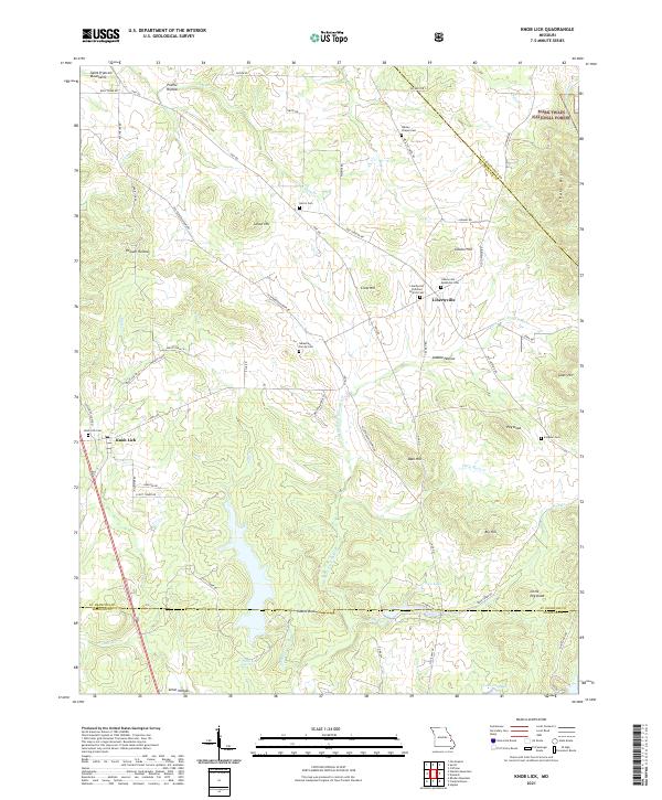 2021 Knob Lick2021 Print · USGSThe hills of St. Francois County come alive in this contemporary survey of the area around Libertyville and Knob Lick. Researchers can pinpoint family history at the Sebastian Family Cem or trace the winding course of the Little Saint Francis River.
 - 2023 Map of Farmington, 2023 Print
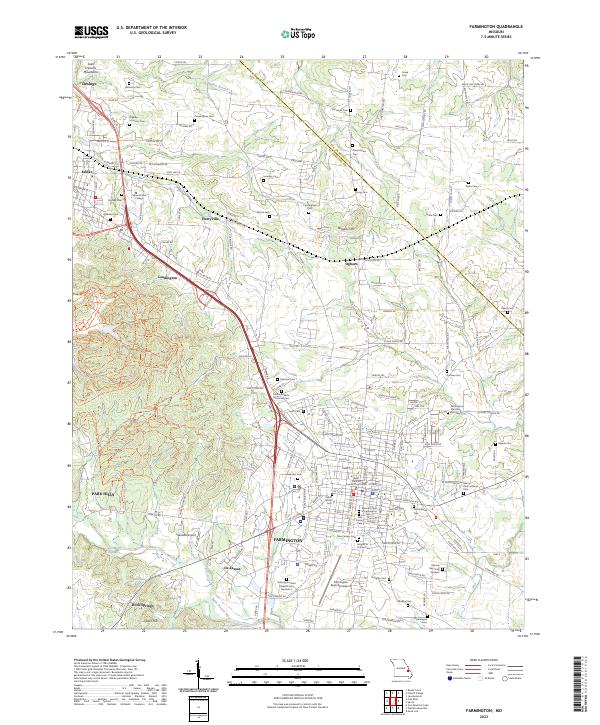 2023 Farmington2023 Print · USGSSoutheast Missouri's lead belt region is shown here in the 2020s, centered on the civic and institutional heart of Farmington. Researchers can trace dozens of family and fraternal burial sites, including the Knights of Pythias Cem and Highley-McHenry Cem, alongside Mineral Area College.
End of results
Showing maps 1-19 of 19
Top cities of Saint Francois County
- Farmington historical maps
- Park Hills historical maps
- Bonne Terre historical maps
- Desloge historical maps
- Bismarck historical maps
- Leadwood historical maps
See more
Frequently asked questions
- What are the different types of historical maps available for Saint Francois County?
- What is the oldest map of Saint Francois County?
- Where can I purchase historical maps of Saint Francois County for my home or office?
- Where can I download high-res historical maps of Saint Francois County?
- Are there historical topographic maps available for Saint Francois County?
- Is there historical aerial imagery available for Saint Francois County?
- Where are historical maps of Saint Francois County sourced from?