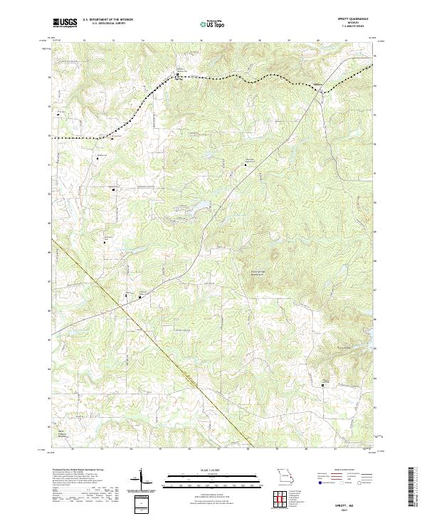
2021 Map of Sprott
USGS Topo · Published 2021About this map
Sprott and Millers serve as the primary landmarks in this rural landscape where Ste. Genevieve and St. Francois counties meet. The area is defined by a dense network of family-named cemeteries, such as Murphy Cem, Mc Gee Cem, and the Horton Mackley Cem, providing a significant map for genealogical research. The terrain begins to rise toward the Saint Francois Mountains in the southwest, with drainage primarily moving through the N Fork Jonca Cr and S Fork Jonca Cr. Water features like Tragden Lake, Pineview Lake, and Hart Lake suggest a history of local land management and recreation. The presence of the Pickle Springs Double Arch indicates a geologically diverse environment characterized by sandstone outcroppings and narrow hollows.
Find a feature on this map
77 named features on this map. Tap any name to fly to it.
Don’t see what you’re looking for? This feature index may not catch every label — zoom into the map to look around manually.
Map Details
Editions of this 2021 Sprott Map
This is the sole edition of this map. No revisions or reprints were ever made.
Other maps of this area

1904 · Farmington
USGS Topo · 1:62,500

1906 · Farmington
USGS Topo · 1:62,500

1907 · Weingarten
USGS Topo · 1:62,500

1909 · Weingarten
USGS Topo · 1:62,500

1910 · Higdon
USGS Topo · 1:62,500

1939 · Fredericktown
USGS Topo · 1:48,000

1947 · Fredericktown
USGS Topo · 1:62,500

1949 · Rolla
USGS Topo · 1:250,000

1950 · Fredericktown
USGS Topo · 1:62,500

1953 · Rolla
USGS Topo · 1:250,000