2020s Maps of Shelby County, Missouri
Explore 17 historic maps of Shelby County from the 2020s. These maps offer a rare glimpse into what life looked like during the 2020s — showing old roads, neighborhoods, homes, and landmarks that have changed or disappeared over time.
Whether you're researching your family's past, planning a metal detecting trip, or studying how Shelby County's landscape evolved across the 2020s, these high-resolution maps are a powerful tool for exploring the history of this region.
- Focus on a specific era: All maps on this page are from the 2020s, giving you a focused view of this time period.
- See what’s changed: Compare century-old streets, trails, and buildings to today's modern landscape using overlays and satellite layers.
- Research with precision: Use these maps for genealogy, historical research, land use analysis, or educational projects.
- View, download, or print: Maps are fully viewable online in high resolution, and can be downloaded or printed for your own records.
Start exploring Shelby County's history through authentic maps from the 2020s. This is your window into the past.
Shelby County, MO maps
(17)- 2021 Map of Emden, 2021 Print
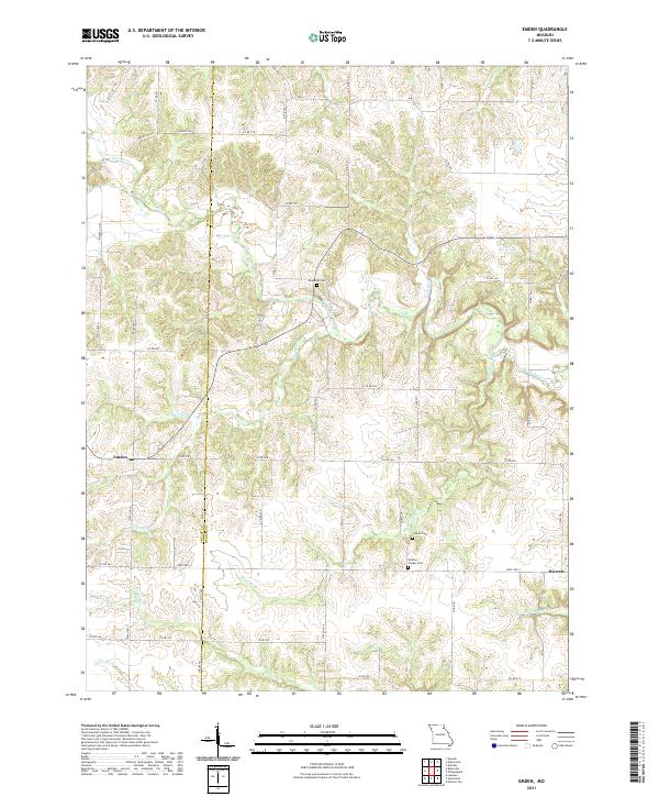 2021 Emden2021 Print · USGSNortheast Missouri agriculture and community life are well-documented here in the early twenty-first century. Genealogists can trace family footprints at Ebenezer Cem and Andrew Chapel Cem, or explore the rural hubs of Emden and Warren.
 - 2021 Map of Lakenan, 2021 Print
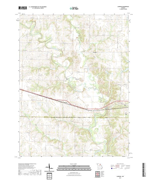 2021 Lakenan2021 Print · USGSShelby and Monroe counties are captured here in the early twenty-first century as the North Fork Salt River winds through its traditional floodplain. Researchers can locate family roots at Hunnewell Cem or trace the railroad's path past Lakenan to the Salt River Railroad Bridge.
 - 2021 Map of Burksville, 2021 Print
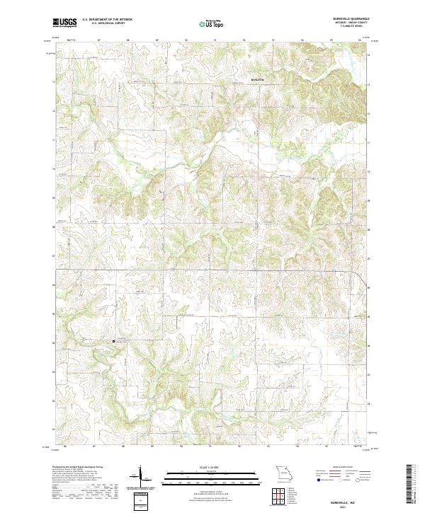 2021 Burksville2021 Print · USGSShelby County's rural uplands are shown in high detail during the early 2020s, centered on the settlement of Burksville. Researchers can trace the winding paths of N River and Black Creek, or locate local landmarks like the Fairview Cem.
 - 2021 Map of Nelsonville, 2021 Print
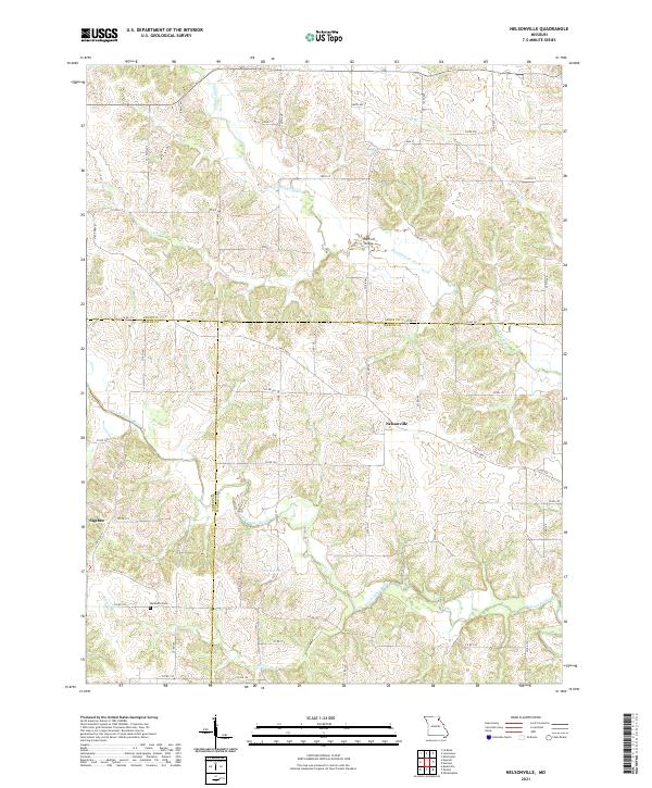 2021 Nelsonville2021 Print · USGSMarion and Shelby Counties are shown in the early twenty-first century as a quiet mosaic of river valleys and rural crossroads. Genealogists and historians can trace the local landscape through the Methodist Cem and landmarks like Haycraft Bridge and Nelsonville.
 - 2021 Map of Hunnewell, 2021 Print
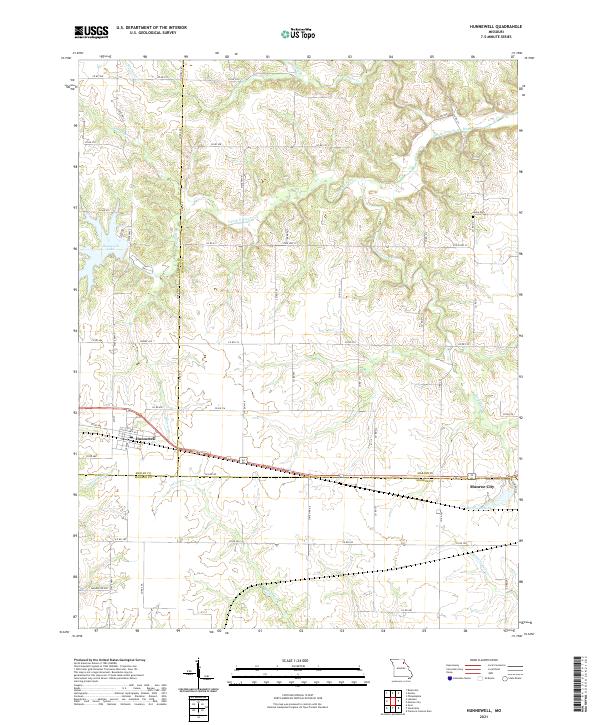 2021 Hunnewell2021 Print · USGSHunnewell and Monroe City anchor this rural landscape where three Missouri counties meet in the early twenty-first century. Genealogists and historians can trace local family landmarks like Howe Cem or explore the water systems of Hunnewell Lake and Indian Cr.
 - 2021 Map of Newark, 2021 Print
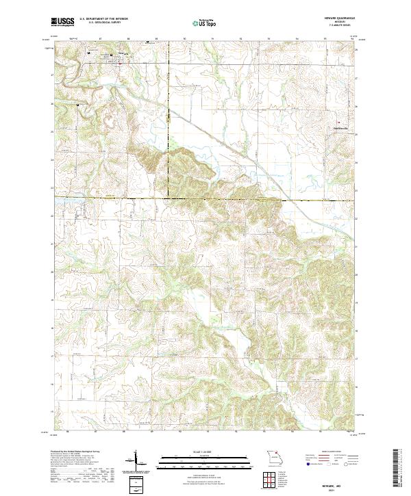 2021 Newark2021 Print · USGSNortheast Missouri’s river-carved farmland is captured here in the early twenty-first century, spanning the borders of Knox, Lewis, and Shelby counties. Genealogists can locate family landmarks like the Old Newark Baptist Church, Downing Cem, and the quiet village of Steffenville.
 - 2021 Map of Bethel, 2021 Print
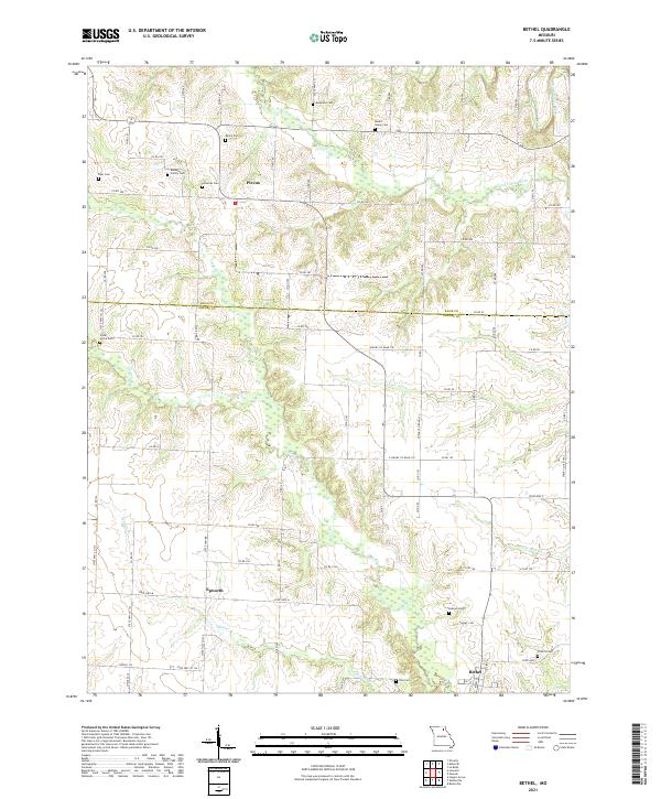 2021 Bethel2021 Print · USGSShelby and Knox counties appear here in the early 2020s, showing a traditional Missouri landscape of small crossroads and family farmsteads. Genealogists can trace family roots through numerous burial sites like Baldwin Family Cem and Hebron Cem near Bethel.
 - 2021 Map of Lentner, 2021 Print
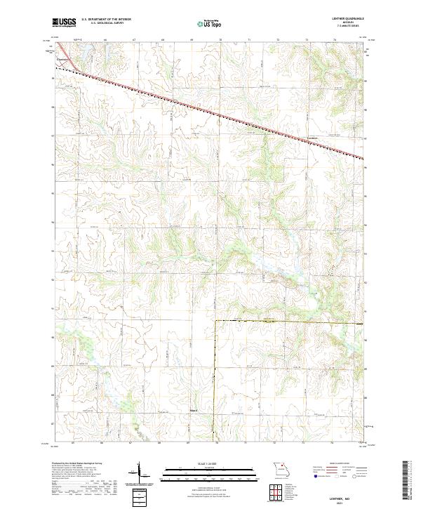 2021 Lentner2021 Print · USGSAgricultural life in Shelby County remains centered on the rail-and-road corridor during the early 2020s. Researchers can trace land tracts between the settlements of Lentner and Maud, or locate points of interest like Old Lake and Crooked Cr.
 - 2021 Map of Shelbina, 2021 Print
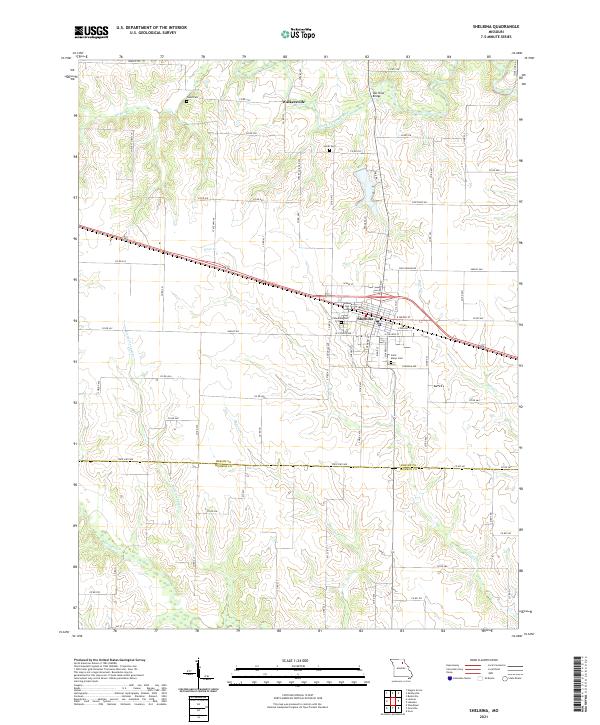 2021 Shelbina2021 Print · USGSShelbina and the surrounding Missouri farmland are documented here in the early twenty-first century. Genealogists can locate family landmarks like Saint Marys Cem or Wood Cem and trace the winding course of the North Fork Salt River.
 - 2021 Map of Clarence, 2021 Print
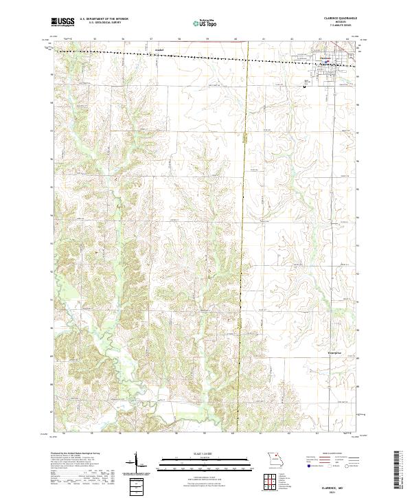 2021 Clarence2021 Print · USGSClarence and its surrounding agricultural reaches in the early twenty-first century are documented here at the intersection of Macon and Shelby counties. Trace local landmarks and rural history from Saint Patricks Cem to the banks of the Middle Fork Salt River and Otter Cr.
 - 2021 Map of Woodlawn, 2021 Print
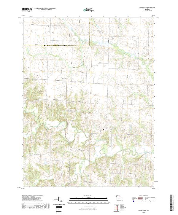 2021 Woodlawn2021 Print · USGSMonroe and Shelby Counties are captured in this modern survey of North Central Missouri’s farming country. Genealogists and historians can trace family roots at Atterberry Cem and Milner Cem or follow the waters of the Middle Fork Salt River.
 - 2021 Map of Duncans Bridge, 2021 Print
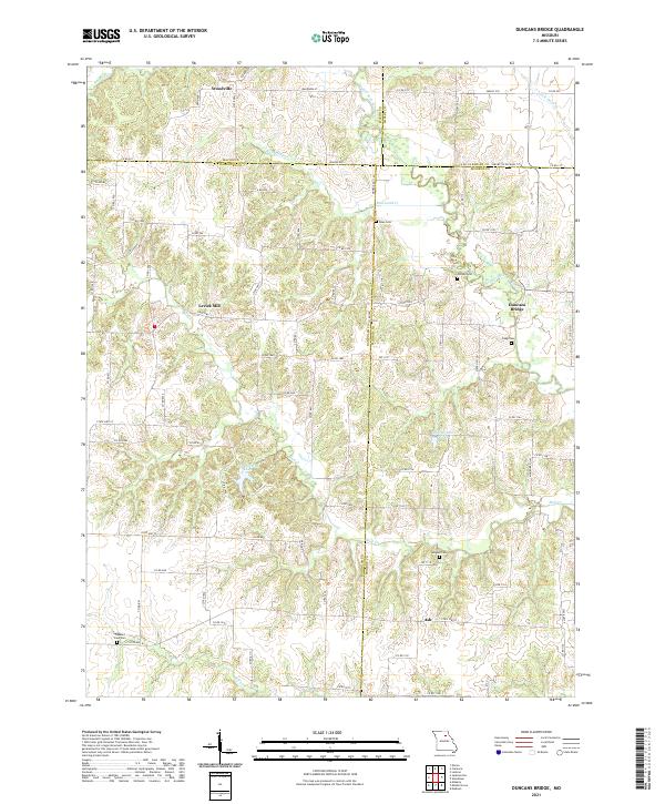 2021 Duncans Bridge2021 Print · USGSThe rural borderlands of Randolph and Monroe counties are detailed in the early 2020s, showcasing a landscape of dispersed farmsteads and river valleys. Researchers can trace local history through sites like Levick Mill, Duncans Bridge, and cemeteries such as Capp Cem.
 - 2021 Map of Leonard, 2021 Print
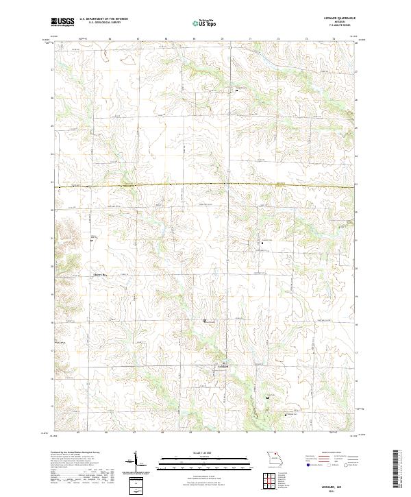 2021 Leonard2021 Print · USGSThe rural landscape of Shelby and Knox Counties is captured here in the early twenty-first century, showing a region defined by its creek valleys and country roads. Genealogists can locate family burial grounds like Cherry Box Cemetery and Peoples Cemetery near the community of Leonard.
 - 2021 Map of Sue City, 2021 Print
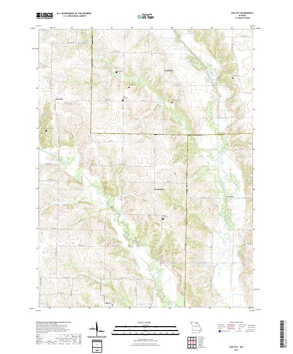 2021 Sue City2021 Print · USGSNortheastern Missouri's rolling farmland comes into focus in this modern survey of the tri-county border near Sue City. Genealogists and local historians can trace family land and burial sites at Hazel Dell Cem, Eucebia Cem, and the crossing at Rays Bridge.
 - 2021 Map of Redman, 2021 Print
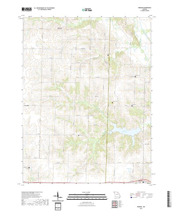 2021 Redman2021 Print · USGSMacon and Shelby counties meet in this detailed survey of the Missouri countryside during the early 2020s. Researchers can trace rural lineages through numerous local sites like Amish Cemetery, Ewing Cemetery, and the northern hamlet of Redman.
 - 2021 Map of Hagers Grove, 2021 Print
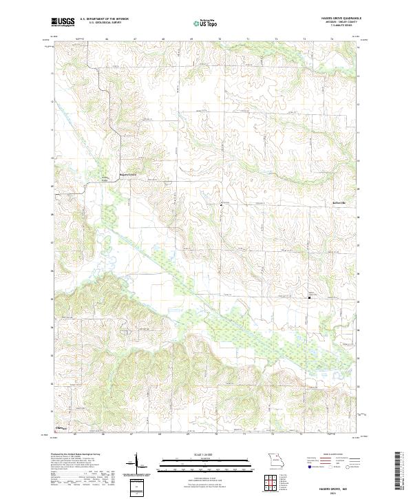 2021 Hagers Grove2021 Print · USGSShelby County, Missouri, is captured in this modern survey of the agricultural landscape along the North Fork Salt River. Researchers can trace old family sites and local landmarks like Morris Cem, Snowder Bridge, and the community of Hagers Grove.
 - 2021 Map of Shelbyville, 2021 Print
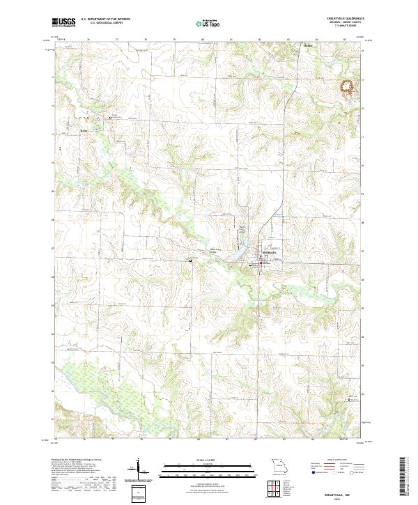 2021 Shelbyville2021 Print · USGSShelby County's rural heartland is meticulously documented in the early 2020s, centered on the seat of Shelbyville. Researchers can trace the forks of the North Fork Salt River and locate family burial sites like Hiles Cem and Eaton Cem.
End of results
Showing maps 1-17 of 17
Top cities of Shelby County
- Shelbina historical maps
- Clarence historical maps
- Shelbyville historical maps
- Hunnewell historical maps
- Bethel historical maps
- Leonard historical maps
Frequently asked questions
- What are the different types of historical maps available for Shelby County?
- What is the oldest map of Shelby County?
- Where can I purchase historical maps of Shelby County for my home or office?
- Where can I download high-res historical maps of Shelby County?
- Are there historical topographic maps available for Shelby County?
- Is there historical aerial imagery available for Shelby County?
- Where are historical maps of Shelby County sourced from?