2000s (21st Century) Maps of Diggins, Missouri
Explore 8 historic maps of Diggins from the 2000s (21st Century). These maps offer a rare glimpse into what life looked like during the 2000s — showing old roads, neighborhoods, homes, and landmarks that have changed or disappeared over time.
Whether you're researching your family's past, planning a metal detecting trip, or studying how Diggins's landscape evolved across the 2000s, these high-resolution maps are a powerful tool for exploring the history of this region.
- Focus on a specific era: All maps on this page are from the 2000s, giving you a focused view of this time period.
- See what’s changed: Compare century-old streets, trails, and buildings to today's modern landscape using overlays and satellite layers.
- Research with precision: Use these maps for genealogy, historical research, land use analysis, or educational projects.
- View, download, or print: Maps are fully viewable online in high resolution, and can be downloaded or printed for your own records.
Start exploring Diggins's history through authentic maps from the 2000s. This is your window into the past.
Diggins, MO maps
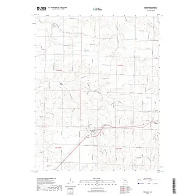
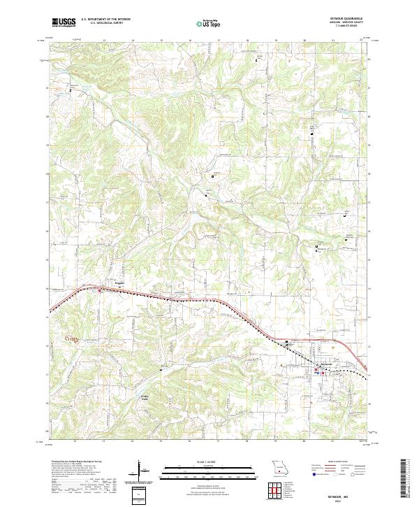
(8)- 2011 Map of Seymour, 2011 Print
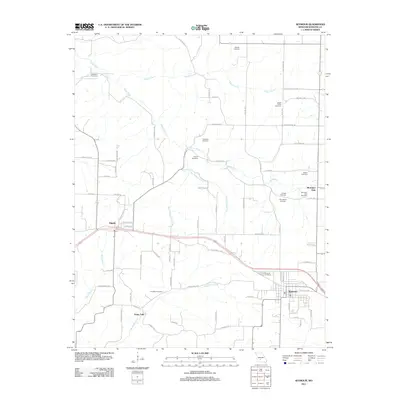 2011 Seymour2011 Print · USGSCovers Diggins, including Seymour, Finley Falls, and other nearby areas
 - 2012 Map of Fordland, 2012 Print
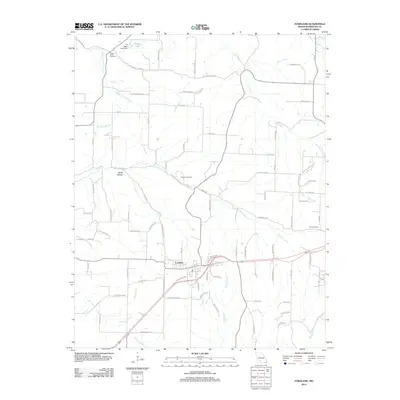 2012 Fordland2012 Print · USGSCovers Diggins, including Fordland, Webster County, and other nearby areas
 - 2015 Map of Fordland, 2015 Print
 2015 Fordland2015 Print · USGSCovers Diggins, including Fordland, Webster County, and other nearby areas
 - 2015 Map of Seymour, 2015 Print
 2015 Seymour2015 Print · USGSCovers Diggins, including Seymour, Finley Falls, and other nearby areas
 - 2017 Map of Fordland, 2017 Print
 2017 Fordland2017 Print · USGSCovers Diggins, including Fordland, Webster County, and other nearby areas
 - 2017 Map of Seymour, 2017 Print
 2017 Seymour2017 Print · USGSCovers Diggins, including Seymour, Finley Falls, and other nearby areas
 - 2021 Map of Fordland, 2021 Print
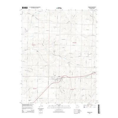
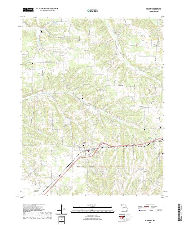 2021 Fordland2021 Print · USGSThe community of Fordland and the nearby village of Diggins are shown during the early twenty-first century, revealing a landscape of high ridges and hollows. Genealogists can locate family sites and local landmarks including Mount Olive Cem, Steward Cem, and the waters of Cave Spring.
 - 2021 Map of Seymour, 2021 Print
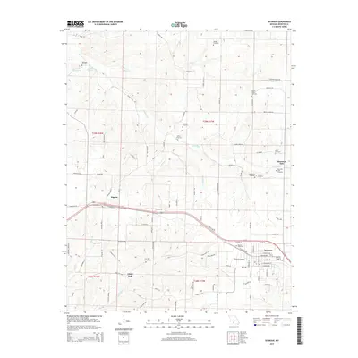
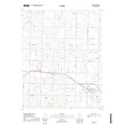
 2021 Seymour2021 Print · USGSSeymour and Diggins are captured at the start of the 2020s, revealing a Missouri landscape defined by the James River and deep local heritage. Genealogists can trace family landmarks and historical sites like the Civil War Cem or the Masonic Cem.
End of results
Showing maps 1-8 of 8
Top cities near Diggins
- Marshfield historical maps
- Ava historical maps
- Seymour historical maps
- Sparta historical maps
- Fordland historical maps
- Niangua historical maps
See more
Frequently asked questions
- What are the different types of historical maps available for Diggins?
- What is the oldest map of Diggins?
- Where can I purchase historical maps of Diggins for my home or office?
- Where can I download high-res historical maps of Diggins?
- Are there historical topographic maps available for Diggins?
- Is there historical aerial imagery available for Diggins?
- Where are historical maps of Diggins sourced from?