Old Maps of Diggins, Missouri for Academic Research
Study the evolution of Diggins with 16 high-resolution historic maps. Whether you're teaching, researching, or modeling changes in land use, these maps provide essential visual documentation of urban, environmental, and geographic change.
- Analyze long-term change: Track patterns in development, transportation, and natural features.
- Ideal for environmental or urban studies: Support academic projects with primary historical map data.
- Use in the classroom or lab: Educators and researchers rely on these maps to bring historical context to life.
These maps are a powerful tool for teaching, research, and visualizing how Diggins has changed over the decades.
Diggins, MO maps
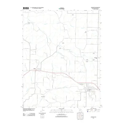
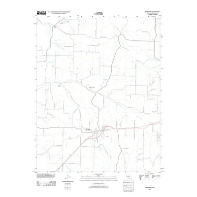
(16)- 1939 Map of Fordland
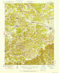 1939 Fordland1939 Print · USGSThe Ozark plateau in the late 1930s is revealed as a dense network of ridge-top rail towns and valley settlements. Genealogists can trace family roots through numerous schools and churches like Cave Spring Sch, Taylor Cem, and the community of Elkhead.2 unique versions available
 - 1942 Map of Fordland
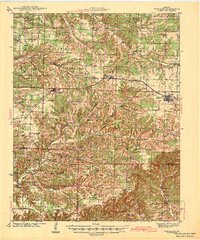 1942 Fordland1942 Print · USGSThe rural Ozark highlands of Webster and Christian Counties are captured here in the late 1930s, centered on the railroad corridor through Fordland and Seymour. Researchers can trace dozens of early school sites and churches, from Union Chapel to the McHaffie Sch.2 unique versions available
 - 1954 Map of Springfield
 1954 Springfield1954 Print · USGSThe Missouri Ozarks are captured here during the post-war era, showing the expansion of Springfield and the surrounding river valleys. Genealogists and historians can trace local landmarks like Mount Comfort Cemetery and the Fort Leonard Wood military grounds.6 unique versions available
 - 1958 Map of Springfield
 1958 Springfield1958 Print · USGSThe Missouri Ozarks are captured during the mid-century era of growth, centered on the bustling hub of Springfield. Genealogists and historians can trace family roots through numerous landmarks like Ebenezer Church, Stockton Cem, and the various county courthouses.
 - 1959 Map of Springfield
 1959 Springfield1959 Print · USGSThe Missouri Ozarks are captured here during a decade of postwar growth and increasing highway connectivity. Researchers can trace the legacy of the St Louis-San Francisco RR and locate early sites in Springfield, Lebanon, and Mountain Grove.
 - 1982 Map of Seymour, 1983 Print
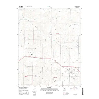
 1982 Seymour1983 Print · USGSSeymour and Diggins were thriving rail-side communities in the early eighties as the railroad shaped the development of Webster County. Genealogists can trace family roots through the Civil War Cem, Bright Prairie Sch, and Masonic Cems.
 - 1982 Map of Fordland, 1983 Print
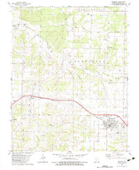
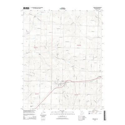
 1982 Fordland1983 Print · USGSFordland and the surrounding Webster County countryside are shown here in the early eighties, centered on the vital Burlington Northern rail corridor. Researchers can trace local history through numerous rural landmarks like Pleasant Grove Ch, the Fordland Honor Camp, and several family cemeteries.
 - 1983 Map of Mountain Grove
 1983 Mountain Grove1983 Print · USGSWright and Webster counties in the early 1980s show a traditional Ozark landscape of ridge-running railroads and river headwaters. You can trace the Burlington Northern Railroad through towns like Mansfield or find rural landmarks like Vance Cem and Mt Zion Church.
 - 2011 Map of Seymour, 2011 Print
 2011 Seymour2011 Print · USGSCovers Diggins, including Seymour, Finley Falls, and other nearby areas
 - 2012 Map of Fordland, 2012 Print
 2012 Fordland2012 Print · USGSCovers Diggins, including Fordland, Webster County, and other nearby areas
 - 2015 Map of Fordland, 2015 Print
 2015 Fordland2015 Print · USGSCovers Diggins, including Fordland, Webster County, and other nearby areas
 - 2015 Map of Seymour, 2015 Print
 2015 Seymour2015 Print · USGSCovers Diggins, including Seymour, Finley Falls, and other nearby areas
 - 2017 Map of Fordland, 2017 Print
 2017 Fordland2017 Print · USGSCovers Diggins, including Fordland, Webster County, and other nearby areas
 - 2017 Map of Seymour, 2017 Print
 2017 Seymour2017 Print · USGSCovers Diggins, including Seymour, Finley Falls, and other nearby areas
 - 2021 Map of Fordland, 2021 Print
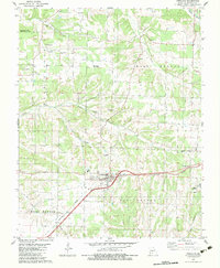
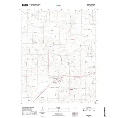
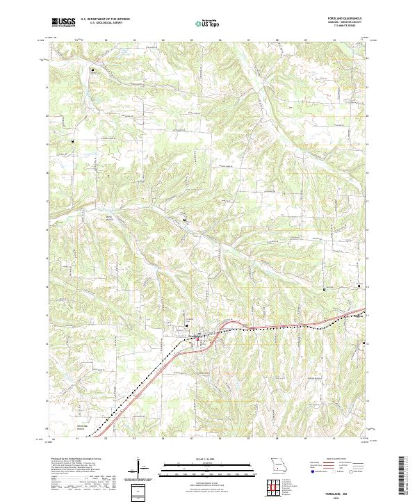 2021 Fordland2021 Print · USGSThe community of Fordland and the nearby village of Diggins are shown during the early twenty-first century, revealing a landscape of high ridges and hollows. Genealogists can locate family sites and local landmarks including Mount Olive Cem, Steward Cem, and the waters of Cave Spring.
 - 2021 Map of Seymour, 2021 Print
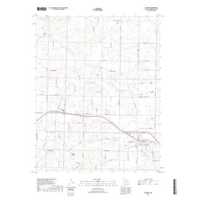
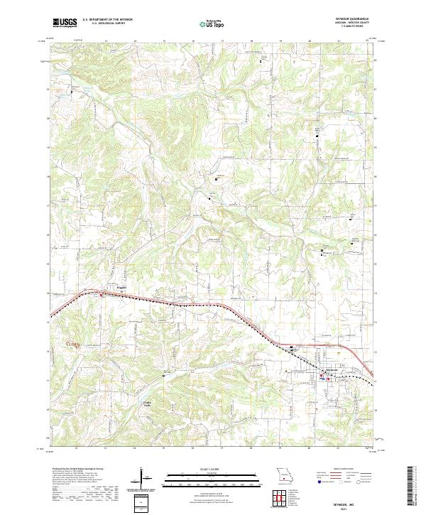 2021 Seymour2021 Print · USGSSeymour and Diggins are captured at the start of the 2020s, revealing a Missouri landscape defined by the James River and deep local heritage. Genealogists can trace family landmarks and historical sites like the Civil War Cem or the Masonic Cem.
End of results
Showing maps 1-16 of 16
Top cities near Diggins
- Marshfield historical maps
- Ava historical maps
- Seymour historical maps
- Sparta historical maps
- Fordland historical maps
- Niangua historical maps
See more
Frequently asked questions
- What are the different types of historical maps available for Diggins?
- What is the oldest map of Diggins?
- Where can I purchase historical maps of Diggins for my home or office?
- Where can I download high-res historical maps of Diggins?
- Are there historical topographic maps available for Diggins?
- Is there historical aerial imagery available for Diggins?
- Where are historical maps of Diggins sourced from?