2000s (21st Century) Maps of Ismay, Montana
Explore 10 historic maps of Ismay from the 2000s (21st Century). These maps offer a rare glimpse into what life looked like during the 2000s — showing old roads, neighborhoods, homes, and landmarks that have changed or disappeared over time.
Whether you're researching your family's past, planning a metal detecting trip, or studying how Ismay's landscape evolved across the 2000s, these high-resolution maps are a powerful tool for exploring the history of this region.
- Focus on a specific era: All maps on this page are from the 2000s, giving you a focused view of this time period.
- See what’s changed: Compare century-old streets, trails, and buildings to today's modern landscape using overlays and satellite layers.
- Research with precision: Use these maps for genealogy, historical research, land use analysis, or educational projects.
- View, download, or print: Maps are fully viewable online in high resolution, and can be downloaded or printed for your own records.
Start exploring Ismay's history through authentic maps from the 2000s. This is your window into the past.
Ismay, MT maps
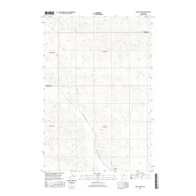
(10)- 2011 Map of Ismay South, 2011 Print
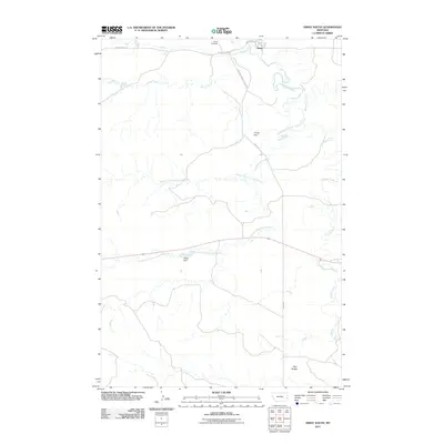 2011 Ismay South2011 Print · USGSCovers Ismay, including Fallon County, Custer County, and other nearby areas
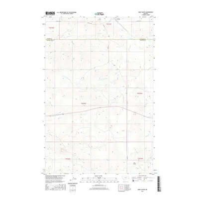
 - 2011 Map of Ismay North, 2011 Print
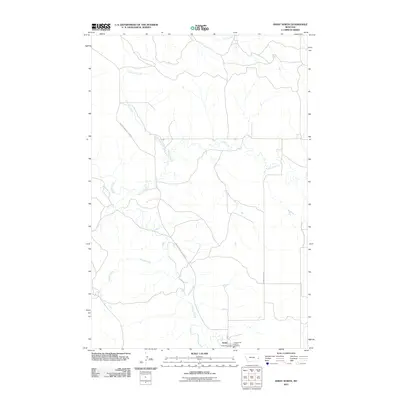 2011 Ismay North2011 Print · USGSCovers Ismay, including Prairie County, Custer County, and other nearby areas
 - 2014 Map of Ismay South, 2014 Print
 2014 Ismay South2014 Print · USGSCovers Ismay, including Fallon County, Custer County, and other nearby areas
 - 2014 Map of Ismay North, 2014 Print
 2014 Ismay North2014 Print · USGSCovers Ismay, including Prairie County, Custer County, and other nearby areas
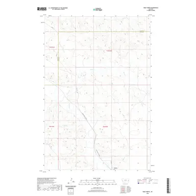
 - 2017 Map of Ismay North, 2017 Print
 2017 Ismay North2017 Print · USGSCovers Ismay, including Prairie County, Custer County, and other nearby areas
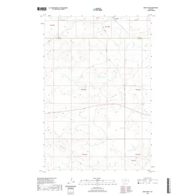
 - 2017 Map of Ismay South, 2017 Print
 2017 Ismay South2017 Print · USGSCovers Ismay, including Fallon County, Custer County, and other nearby areas
 - 2020 Map of Ismay North, 2020 Print
 2020 Ismay North2020 Print · USGSCovers Ismay, including Prairie County, Custer County, and other nearby areas
 - 2020 Map of Ismay South, 2020 Print
 2020 Ismay South2020 Print · USGSCovers Ismay, including Fallon County, Custer County, and other nearby areas
 - 2024 Map of Ismay South, 2024 Print
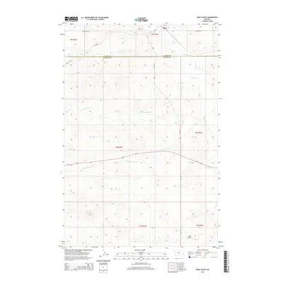
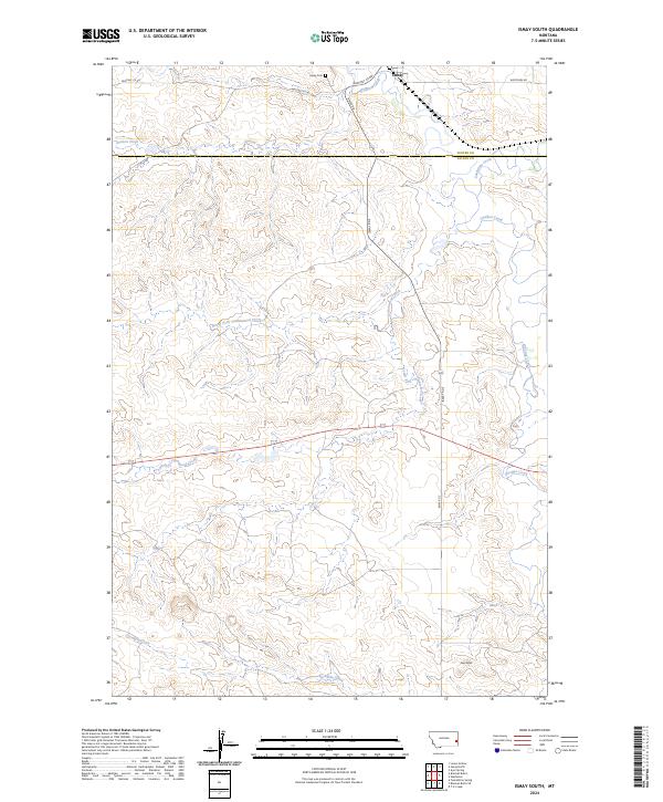 2024 Ismay South2024 Print · USGSEastern Montana rangeland at the Fallon and Custer county line is captured in this modern survey. Researchers can trace the drainage of O'Fallon Creek through Ismay, locate the Ismay Cem, and follow the terrain south to the landmark Twin Buttes.
 - 2024 Map of Ismay North, 2024 Print
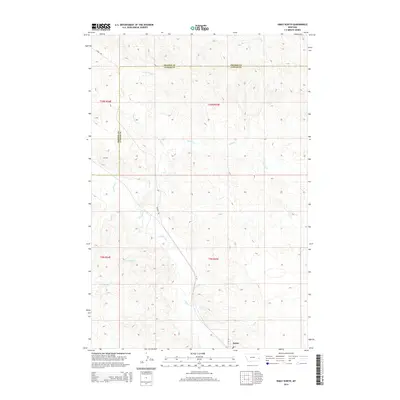
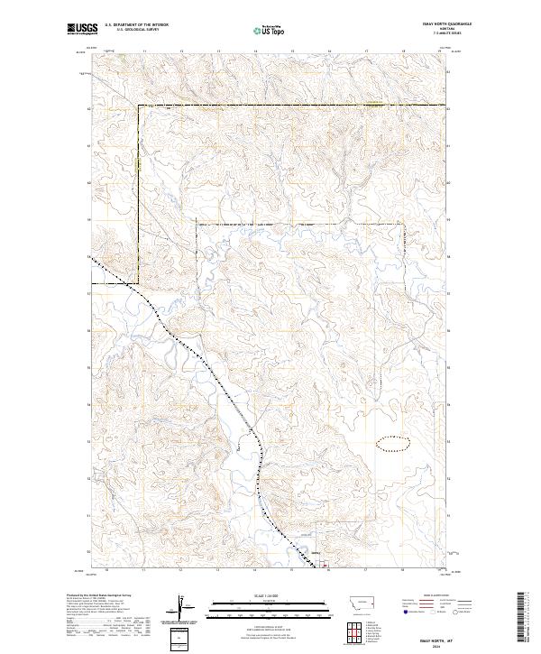 2024 Ismay North2024 Print · USGSIn the cattle country of eastern Montana, this contemporary survey captures the town of Ismay and its surrounding prairie landscape. Trace the winding paths of O'Fallon Creek and Pennel Creek alongside the local Mildred Ismay Cut Across.
End of results
Showing maps 1-10 of 10
Frequently asked questions
- What are the different types of historical maps available for Ismay?
- What is the oldest map of Ismay?
- Where can I purchase historical maps of Ismay for my home or office?
- Where can I download high-res historical maps of Ismay?
- Are there historical topographic maps available for Ismay?
- Is there historical aerial imagery available for Ismay?
- Where are historical maps of Ismay sourced from?