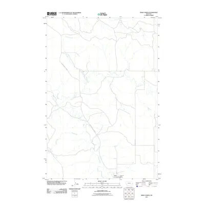
2011 Map of Ismay North
USGS Topo · Published 2011About this map
Ismay anchors the southern boundary of this Eastern Montana landscape, where the town's social and infrastructure hubs are centered around the Ismay Post Office and the Ismay Rural Vol Fire Company. The terrain is defined by a dense network of seasonal drainages, most notably O'Fallon Creek, which winds northward through the center of the sheet. These waterways, including Pennel Creek and Lone Tree Creek, dictate the sparse road network in this ranching country. The Mildred Ismay Cut Across and Pennel Creek Rd provide essential transit routes across the open prairie. This 2011 survey captures the area's enduring rural character, illustrating how the small settlement of Ismay and its few streets like West St remain the focal point for a vast, creek-carved territory.
Find a feature on this map
12 named features on this map. Tap any name to fly to it.
Don’t see what you’re looking for? This feature index may not catch every label — zoom into the map to look around manually.
Map Details
Editions of this 2011 Ismay North Map
This is the sole edition of this map. No revisions or reprints were ever made.
Other maps of this area
1953 · Miles City
USGS Topo · 1:250,000
1957 · Miles City
USGS Topo · 1:250,000
1958 · Miles City
USGS Topo · 1:250,000
1981 · Baker
USGS Topo · 1:100,000
1981 · Mildred NE
USGS Topo · 1:24,000
1981 · Bracket Butte
USGS Topo · 1:24,000
1981 · Loony Hollow
USGS Topo · 1:24,000
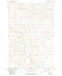
1981 · Ismay North
USGS Topo · 1:24,000
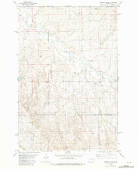
1981 · Dorothy Draw
USGS Topo · 1:24,000
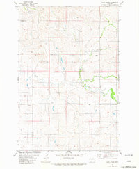
1981 · Ayer Spring
USGS Topo · 1:24,000