Old Maps of Ismay, Montana for Academic Research
Study the evolution of Ismay with 17 high-resolution historic maps. Whether you're teaching, researching, or modeling changes in land use, these maps provide essential visual documentation of urban, environmental, and geographic change.
- Analyze long-term change: Track patterns in development, transportation, and natural features.
- Ideal for environmental or urban studies: Support academic projects with primary historical map data.
- Use in the classroom or lab: Educators and researchers rely on these maps to bring historical context to life.
These maps are a powerful tool for teaching, research, and visualizing how Ismay has changed over the decades.
Ismay, MT maps
(17)- 1953 Map of Miles City, 1966 Print
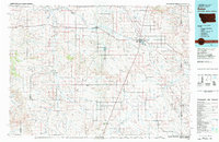
 1953 Miles City1966 Print · USGSEastern Montana and the North Dakota borderlands come alive in this mid-century survey of the Yellowstone River valley. Genealogists and historians can trace the rural network of the era through sites like Fertile Prairie School, St Johns Church, and the rail lines serving Ismay and Plevna.4 unique versions available
 - 1957 Map of Miles City
 1957 Miles City1957 Print · USGSEastern Montana and the North Dakota borderlands come alive in the mid-fifties as the rail and ranching economy peaks along the Yellowstone River. Genealogists and historians can trace numerous rural landmarks like St Phillips Church, Fertile Prairie School, and the Ostendorf Ranch.
 - 1958 Map of Miles City
 1958 Miles City1958 Print · USGSEastern Montana ranching and rail life are documented here during the late fifties, centered on the confluence of the Yellowstone River and Powder River. Researchers can trace rural school locations like St Phillips Church and Chimney Creek School alongside dozens of named family ranches.
 - 1981 Map of Baker
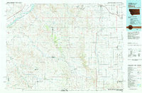
 1981 Baker1981 Print · USGSThe Montana-North Dakota borderlands are captured here in the early 1980s, showcasing the high plains ranching and rail corridor. Genealogists can locate rural landmarks like Lame Jones School and the Milwaukee Road railroad route through Plevna and Ismay.
 - 1981 Map of Ismay North
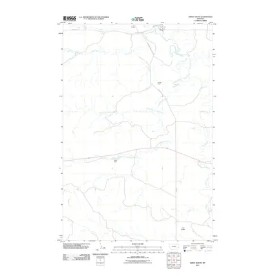
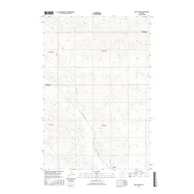
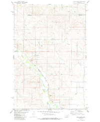 1981 Ismay North1981 Print · USGSCuster and Prairie Counties are captured here in the early eighties, centered on the railroad town of Ismay. Researchers can trace the Milwaukee Road line as it follows O'Fallon Creek past local landmarks like the Storage Bin and various Flowing Wells.
 - 1981 Map of Ismay South
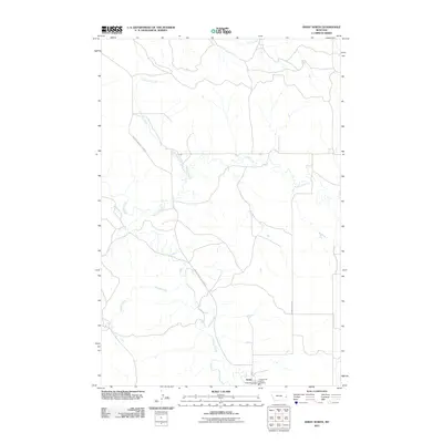
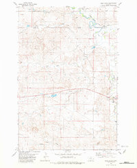 1981 Ismay South1981 Print · USGSThe high plains of Eastern Montana are documented here in the early eighties, showing the critical path of the Chicago Milwaukee St Paul and Pacific railroad. Genealogists and historians can trace water rights and land use through landmarks like Rieger Dam, O'Fallon Creek, and Scroggin Creek.
 - 1981 Map of Wibaux, 1982 Print
 1981 Wibaux1982 Print · USGSThe Montana and North Dakota borderlands come into focus in the early 1980s, showcasing a landscape shaped by the BURLINGTON NORTHERN railroad and the Yellowstone River. Researchers can trace the rail corridor through Wibaux and Yates or locate isolated landmarks like Graveyard Hill and Johnstone Dam.
 - 2011 Map of Ismay South, 2011 Print
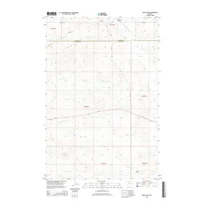
 2011 Ismay South2011 Print · USGSCovers Ismay, including Fallon County, Custer County, and other nearby areas
 - 2011 Map of Ismay North, 2011 Print
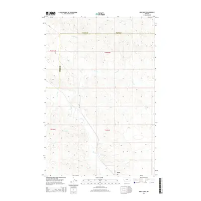
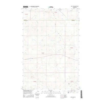
 2011 Ismay North2011 Print · USGSCovers Ismay, including Prairie County, Custer County, and other nearby areas
 - 2014 Map of Ismay South, 2014 Print
 2014 Ismay South2014 Print · USGSCovers Ismay, including Fallon County, Custer County, and other nearby areas
 - 2014 Map of Ismay North, 2014 Print
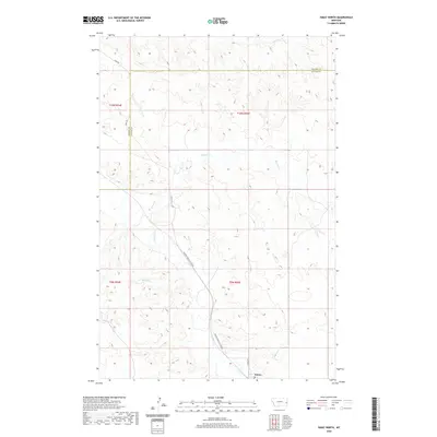
 2014 Ismay North2014 Print · USGSCovers Ismay, including Prairie County, Custer County, and other nearby areas
 - 2017 Map of Ismay North, 2017 Print
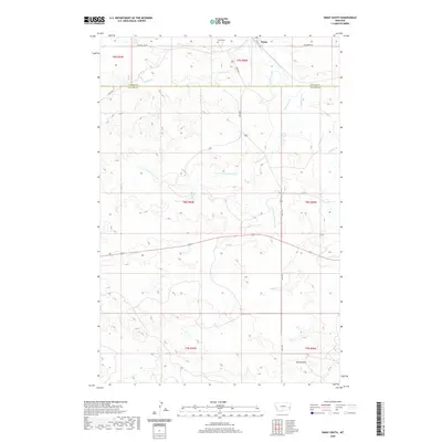
 2017 Ismay North2017 Print · USGSCovers Ismay, including Prairie County, Custer County, and other nearby areas
 - 2017 Map of Ismay South, 2017 Print
 2017 Ismay South2017 Print · USGSCovers Ismay, including Fallon County, Custer County, and other nearby areas
 - 2020 Map of Ismay North, 2020 Print
 2020 Ismay North2020 Print · USGSCovers Ismay, including Prairie County, Custer County, and other nearby areas
 - 2020 Map of Ismay South, 2020 Print
 2020 Ismay South2020 Print · USGSCovers Ismay, including Fallon County, Custer County, and other nearby areas
 - 2024 Map of Ismay South, 2024 Print
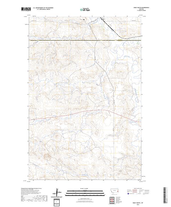 2024 Ismay South2024 Print · USGSEastern Montana rangeland at the Fallon and Custer county line is captured in this modern survey. Researchers can trace the drainage of O'Fallon Creek through Ismay, locate the Ismay Cem, and follow the terrain south to the landmark Twin Buttes.
 - 2024 Map of Ismay North, 2024 Print
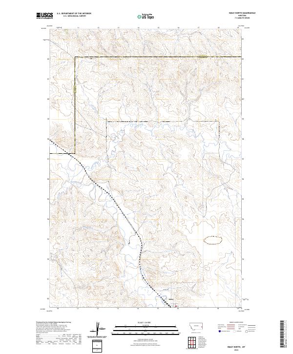 2024 Ismay North2024 Print · USGSIn the cattle country of eastern Montana, this contemporary survey captures the town of Ismay and its surrounding prairie landscape. Trace the winding paths of O'Fallon Creek and Pennel Creek alongside the local Mildred Ismay Cut Across.
End of results
Showing maps 1-17 of 17
Frequently asked questions
- What are the different types of historical maps available for Ismay?
- What is the oldest map of Ismay?
- Where can I purchase historical maps of Ismay for my home or office?
- Where can I download high-res historical maps of Ismay?
- Are there historical topographic maps available for Ismay?
- Is there historical aerial imagery available for Ismay?
- Where are historical maps of Ismay sourced from?