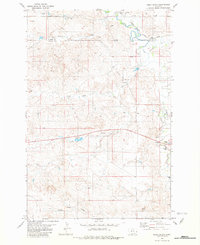
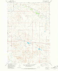
1981 Map of Ismay South
USGS Topo · Published 1981About this map
Chicago Milwaukee St Paul and Pacific tracks follow the winding course of O'Fallon Creek in this portion of Eastern Montana, reflecting the vital intersection of rail transportation and natural water sources in the high plains. The landscape is defined by an intricate network of drainage systems, including Sandstone Creek, Cottonwood Creek, and the North Fork and South Fork tributaries, which converge toward the main channel. Evidence of ranching and land management appears through features like Rieger Dam and numerous scattered springs and wells. The terrain's character is further marked by the Twin Buttes in the south and the Scroggin Creek drainage, while a remote Landing Strip and a Gravel Pit indicate the logistical and industrial needs of this rural expanse along the Custer and Fallon County line.
Find a feature on this map
13 named features on this map. Tap any name to fly to it.
Don’t see what you’re looking for? This feature index may not catch every label — zoom into the map to look around manually.
Map Details
Editions of this 1981 Ismay South Map
This is the sole edition of this map. No revisions or reprints were ever made.
Other maps of this area

1953 · Miles City
USGS Topo · 1:250,000

1957 · Miles City
USGS Topo · 1:250,000

1958 · Miles City
USGS Topo · 1:250,000

1981 · Baker
USGS Topo · 1:100,000
1981 · Bracket Butte
USGS Topo · 1:24,000
1981 · Loony Hollow
USGS Topo · 1:24,000
1981 · Ismay North
USGS Topo · 1:24,000

1981 · Bracket Butte SE
USGS Topo · 1:24,000

1981 · Ayer Spring
USGS Topo · 1:24,000
1981 · Westmore
USGS Topo · 1:24,000