Old Maps of Melstone, Montana for Academic Research
Study the evolution of Melstone with 17 high-resolution historic maps. Whether you're teaching, researching, or modeling changes in land use, these maps provide essential visual documentation of urban, environmental, and geographic change.
- Analyze long-term change: Track patterns in development, transportation, and natural features.
- Ideal for environmental or urban studies: Support academic projects with primary historical map data.
- Use in the classroom or lab: Educators and researchers rely on these maps to bring historical context to life.
These maps are a powerful tool for teaching, research, and visualizing how Melstone has changed over the decades.
Melstone, MT maps
(17)- 1954 Map of Forsyth, 1966 Print
 1954 Forsyth1966 Print · USGSThe Yellowstone River valley and the northern high plains are captured here in the mid-1950s during a period of expanding energy and rail infrastructure. Genealogists and historians can trace rail sidings and cattle-country outposts like Ingomar, Vananda, and Angela.3 unique versions available
 - 1957 Map of Forsyth
 1957 Forsyth1957 Print · USGSSouth-central Montana in the late fifties is captured here through its dual-river geography and emergent energy economy. Researchers can trace the path of the Northern Pacific through Forsyth, locate the Ragged Point Oil Field, and find early sidings like Ahles Siding.
 - 1958 Map of Forsyth
 1958 Forsyth1958 Print · USGSMid-century Montana comes alive along the Yellowstone River and the competing transcontinental rail lines. Local historians can trace the legacy of the Northern Pacific through Forsyth or explore early oil developments at the Ragged Point Oil Field.
 - 1962 Map of Queens Point, 1965 Print
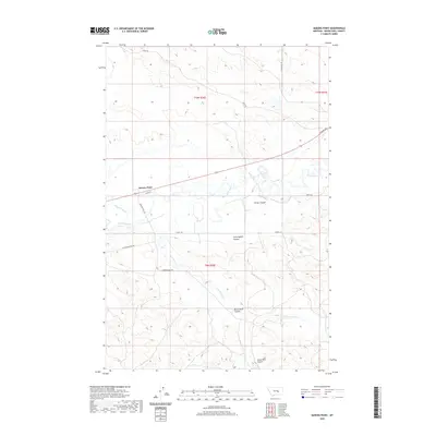
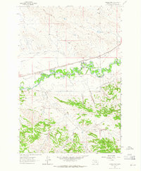 1962 Queens Point1965 Print · USGSCentral Montana’s Musselshell River valley is captured here in the early sixties, showing a landscape defined by the railroad and irrigation. Trace the path of the Chicago Milwaukee St Paul and Pacific near Melstone or find named landmarks like Queens Point.2 unique versions available
 - 1963 Map of Melstone, 1965 Print
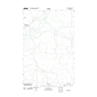
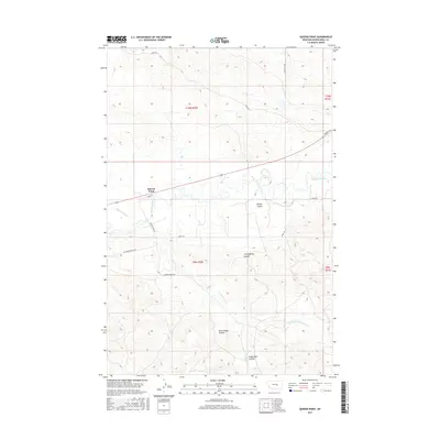
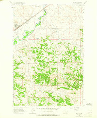 1963 Melstone1965 Print · USGSIn the early sixties, the Musselshell River valley remained a critical corridor for the Milwaukee Road. Trace the rail infrastructure through Melstone and Bascom, alongside water features like Wilson Coulee and Twin Tops.2 unique versions available
 - 1979 Map of Melstone
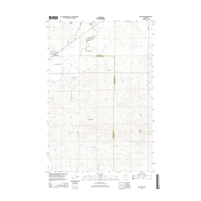
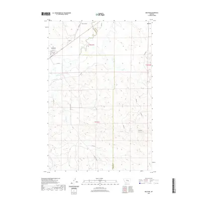
 1979 Melstone1979 Print · USGSThe ranching and rail corridors of central Montana are preserved in this late 1970s survey. Genealogists and historians can trace the Milwaukee Road through settlements like Melstone, Ingomar, and Sumatra along the Musselshell River.
 - 1983 Map of Forsyth
 1983 Forsyth1983 Print · USGSEastern Montana's high plains and river valleys come into focus in the early eighties as the rail-and-ranching economy centered on the Yellowstone River. Researchers can trace the development of small rail towns like Hysham, Angela, and Ingomar alongside the Burlington Northern line.
 - 2011 Map of Queens Point, 2011 Print
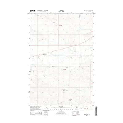
 2011 Queens Point2011 Print · USGSCovers Melstone, including Queens Point, Musselshell County, and other nearby areas
 - 2011 Map of Melstone, 2011 Print
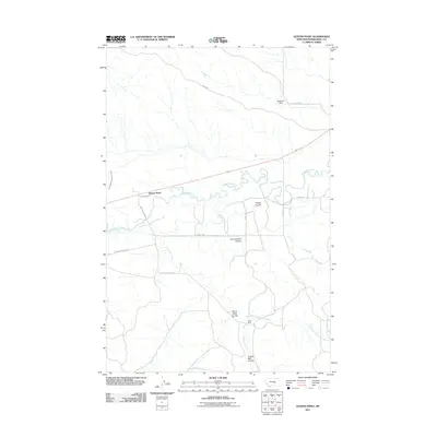
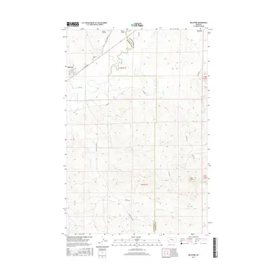
 2011 Melstone2011 Print · USGSCovers Melstone, including Rosebud County, Musselshell County, and other nearby areas
 - 2014 Map of Melstone, 2014 Print
 2014 Melstone2014 Print · USGSCovers Melstone, including Rosebud County, Musselshell County, and other nearby areas
 - 2014 Map of Queens Point, 2014 Print
 2014 Queens Point2014 Print · USGSCovers Melstone, including Queens Point, Musselshell County, and other nearby areas
 - 2017 Map of Melstone, 2017 Print
 2017 Melstone2017 Print · USGSCovers Melstone, including Rosebud County, Musselshell County, and other nearby areas
 - 2017 Map of Queens Point, 2017 Print
 2017 Queens Point2017 Print · USGSCovers Melstone, including Queens Point, Musselshell County, and other nearby areas
 - 2020 Map of Melstone, 2020 Print
 2020 Melstone2020 Print · USGSCovers Melstone, including Rosebud County, Musselshell County, and other nearby areas
 - 2020 Map of Queens Point, 2020 Print
 2020 Queens Point2020 Print · USGSCovers Melstone, including Queens Point, Musselshell County, and other nearby areas
 - 2024 Map of Melstone, 2024 Print
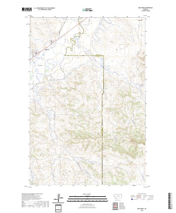 2024 Melstone2024 Print · USGSThe Musselshell River valley comes to life in this contemporary survey of central Montana. Genealogists and local historians can trace the street grid of Melstone, locate the Melstone Cem, and follow the winding banks of Lost Horse Creek.
 - 2024 Map of Queens Point, 2024 Print
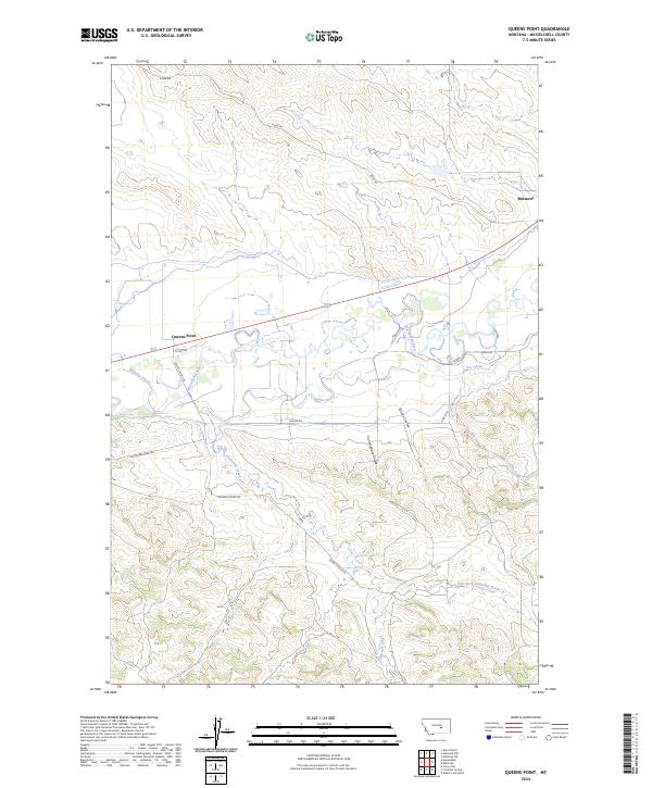 2024 Queens Point2024 Print · USGSThe river breaks of Musselshell County come into focus in this contemporary survey of the high plains. Researchers can trace irrigation history along Chandler Ditch or locate family land near Melstone and the prominent Queens Point landmark.
End of results
Showing maps 1-17 of 17
Frequently asked questions
- What are the different types of historical maps available for Melstone?
- What is the oldest map of Melstone?
- Where can I purchase historical maps of Melstone for my home or office?
- Where can I download high-res historical maps of Melstone?
- Are there historical topographic maps available for Melstone?
- Is there historical aerial imagery available for Melstone?
- Where are historical maps of Melstone sourced from?