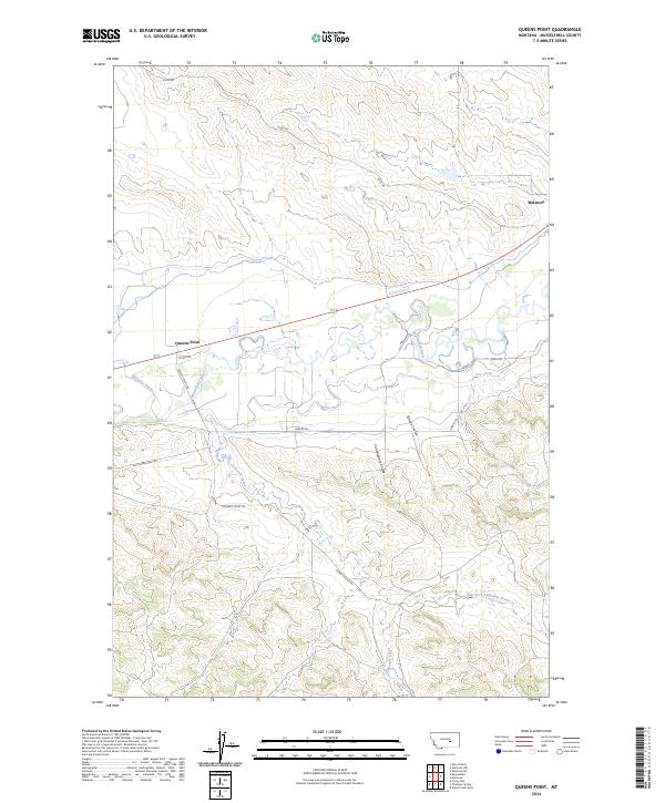
2024 Map of Queens Point
USGS Topo · Published 2024About this map
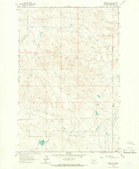
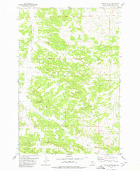
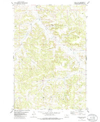
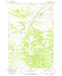
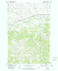
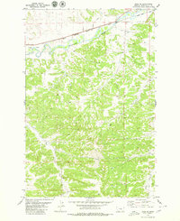
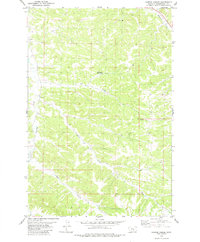
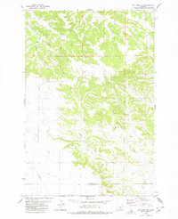
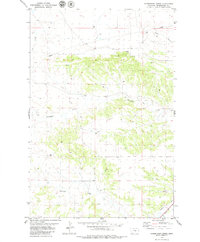
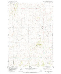
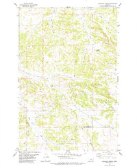
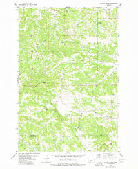
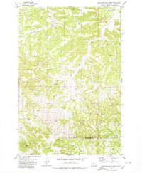
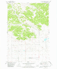
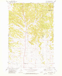
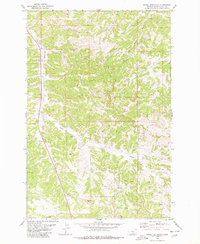
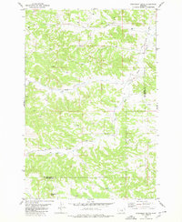
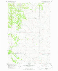
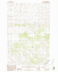
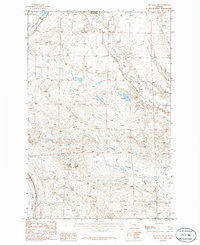
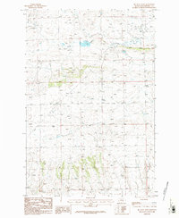
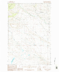
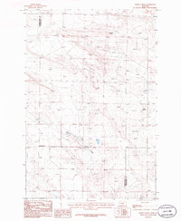
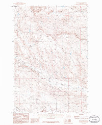
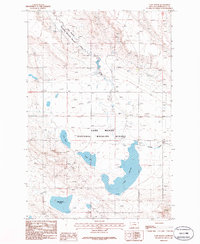
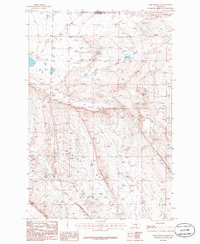
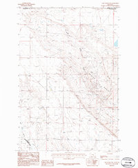
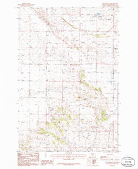
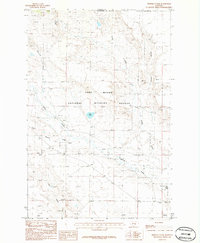
The Musselshell River carves a winding path through this portion of Musselshell County, defining the local irrigation and transport corridor. The town of Melstone sits at the northeastern edge of the quadrangle, serving as a focal point near the river's bend. To the west, the landmark known as Queens Point overlooks the valley, where the managed waters of the Chandler Ditch reflect the area's agricultural reliance on the river system.
Find a feature on this map
18 named features on this map. Tap any name to fly to it.
Don’t see what you’re looking for? This feature index may not catch every label — zoom into the map to look around manually.
Map Details
Editions of this 2024 Queens Point Map
This is the sole edition of this map. No revisions or reprints were ever made.
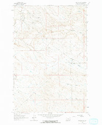
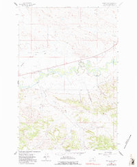
Historical Maps of Melstone Through Time
72 maps found
1962 Melstone NE
Musselshell County, MT
1962 Melstone NW
Musselshell County, MT
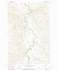
1962 Queens Point
Musselshell County, MT
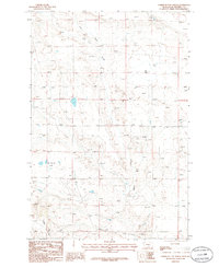
1963 Akers Ranch
Musselshell County, MT
1963 Delphia
Musselshell County, MT
1963 Musselshell NW
Musselshell County, MT
1979 Bundy
Musselshell County, MT
1979 Chimney Butte
Musselshell County, MT
1979 Corey Flat
Musselshell County, MT
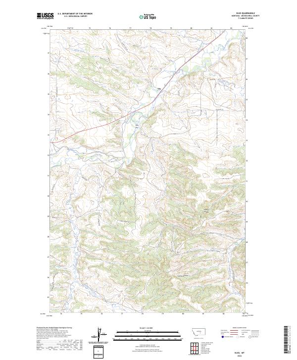
1979 Elso
Musselshell County, MT
1979 Gage
Musselshell County, MT
1979 Gage NE
Musselshell County, MT
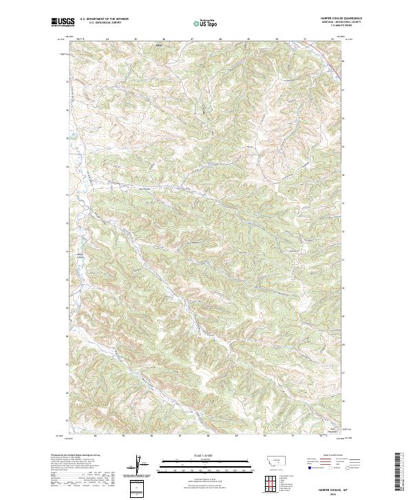
1979 Harper Coulee
Musselshell County, MT
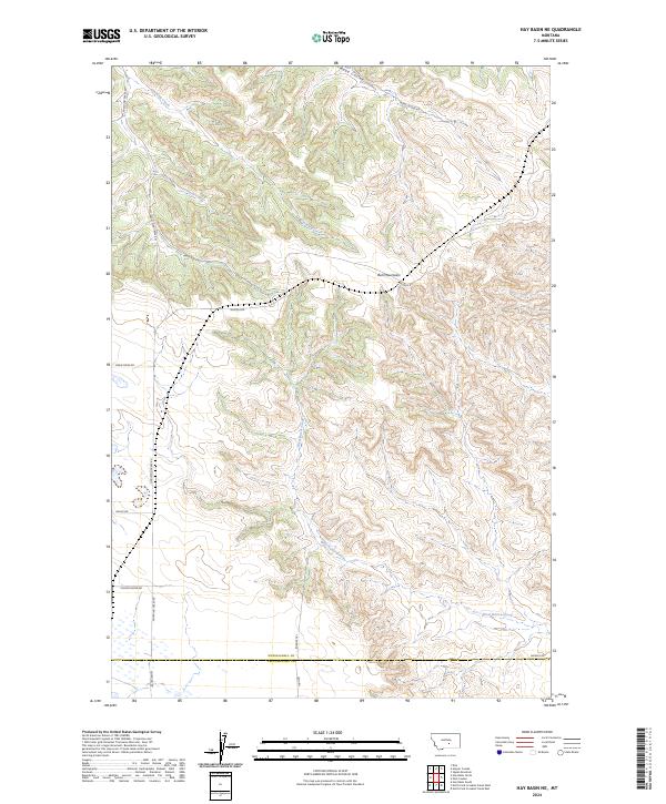
1979 Hay Basin NE
Musselshell County, MT
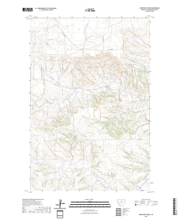
1979 Horsethief Creek
Musselshell County, MT
1979 Timber Buttes South
Musselshell County, MT
1980 Chandler Spring
Musselshell County, MT
1980 Cherry Spring
Musselshell County, MT
1980 Dunn Mountain North
Musselshell County, MT
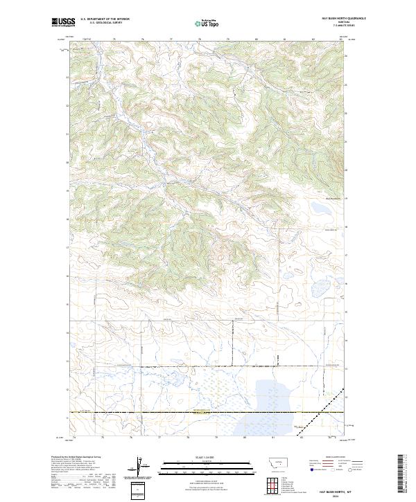
1980 Hay Basin North
Musselshell County, MT
1980 Park Coulee
Musselshell County, MT
1980 Signal Mountain
Musselshell County, MT
1980 Steamboat Butte
Musselshell County, MT
1980 Weed Creek West
Musselshell County, MT
1986 Big Wall East
Musselshell County, MT
1986 Big Wall NW
Musselshell County, MT
1986 Big Wall West
Musselshell County, MT
1986 Devils Hole Lake
Musselshell County, MT
1986 Emory School
Musselshell County, MT
1986 Jim Coulee
Musselshell County, MT
1986 Lake Mason
Musselshell County, MT
1986 Lake Mason NE
Musselshell County, MT
1986 Lake Mason NW
Musselshell County, MT
1986 Lake Mason SE
Musselshell County, MT
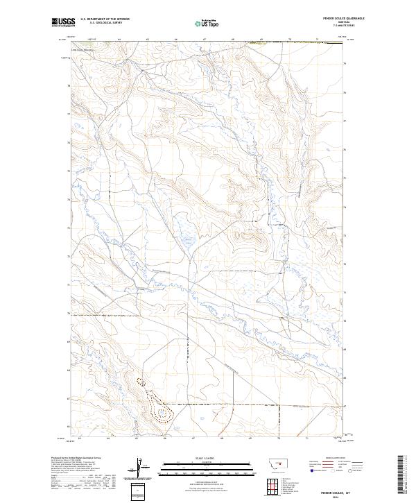
1986 Pender Coulee
Musselshell County, MT
1986 Timber Buttes North
Musselshell County, MT
2024 Akers Ranch
Musselshell County, MT

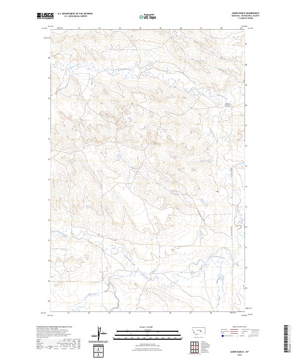
2024 Big Wall East
Musselshell County, MT
2024 Big Wall NW
Musselshell County, MT
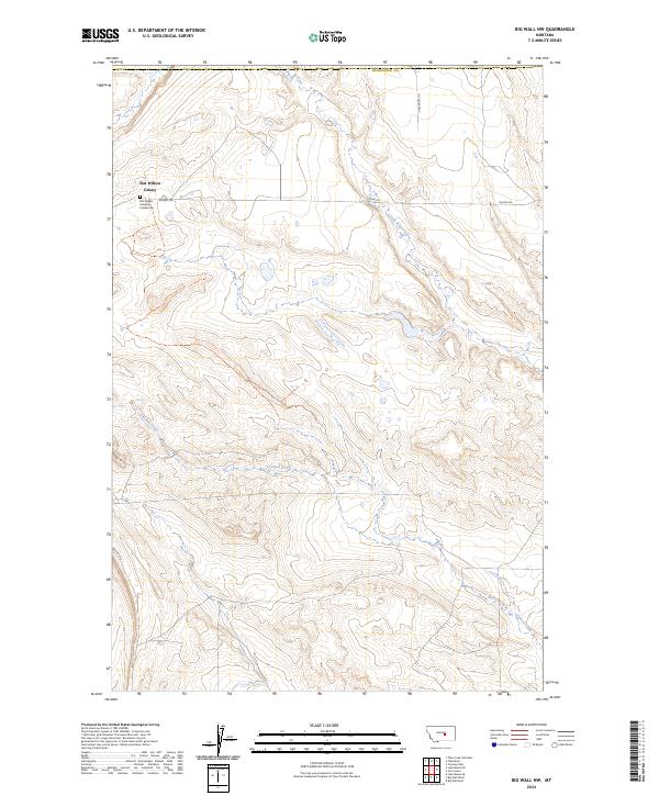
2024 Big Wall West
Musselshell County, MT
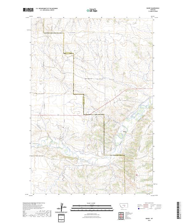
2024 Bundy
Musselshell County, MT
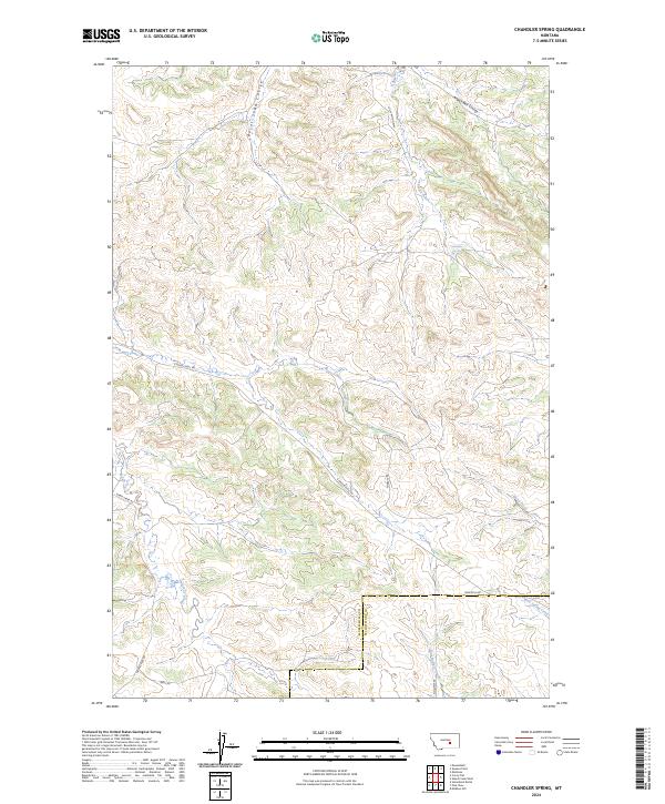
2024 Chandler Spring
Musselshell County, MT
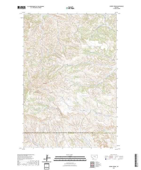
2024 Cherry Spring
Musselshell County, MT
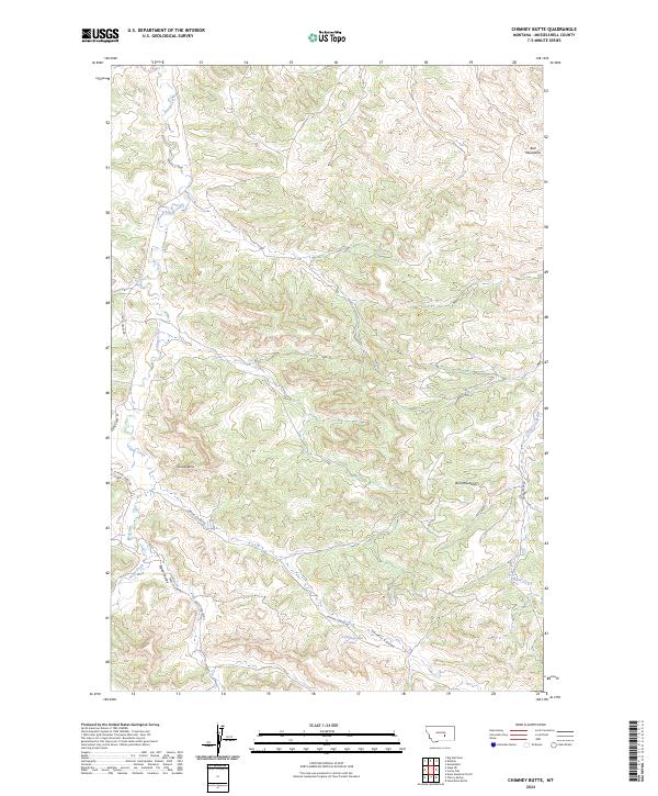
2024 Chimney Butte
Musselshell County, MT
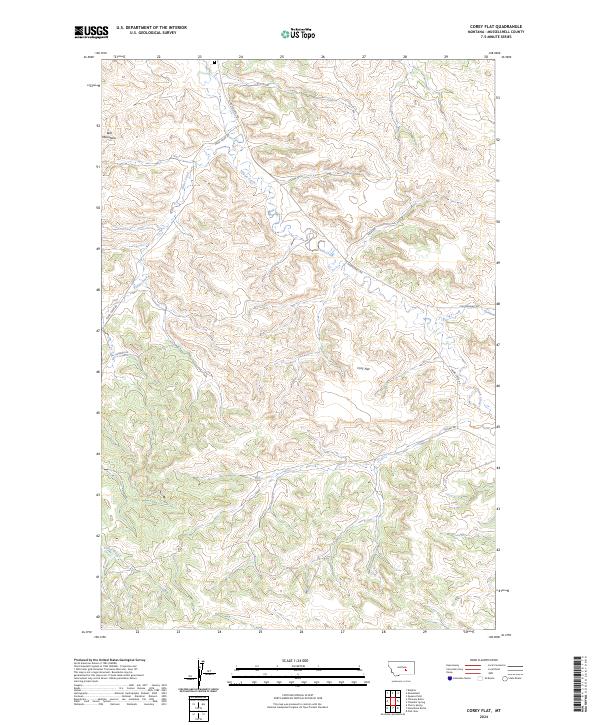
2024 Corey Flat
Musselshell County, MT
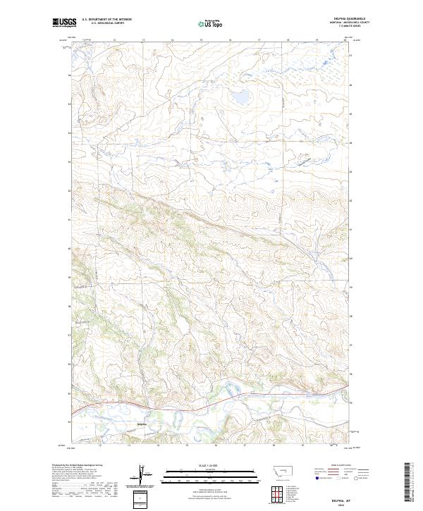
2024 Delphia
Musselshell County, MT
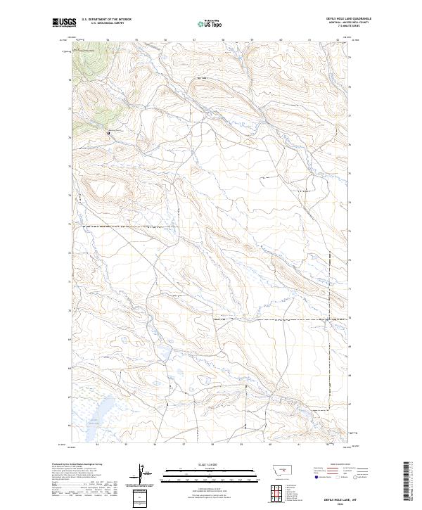
2024 Devils Hole Lake
Musselshell County, MT
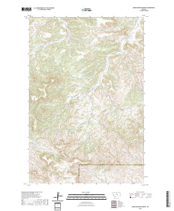
2024 Dunn Mountain North
Musselshell County, MT
2024 Elso
Musselshell County, MT
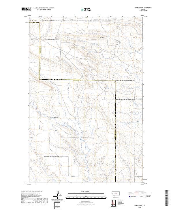
2024 Emory School
Musselshell County, MT
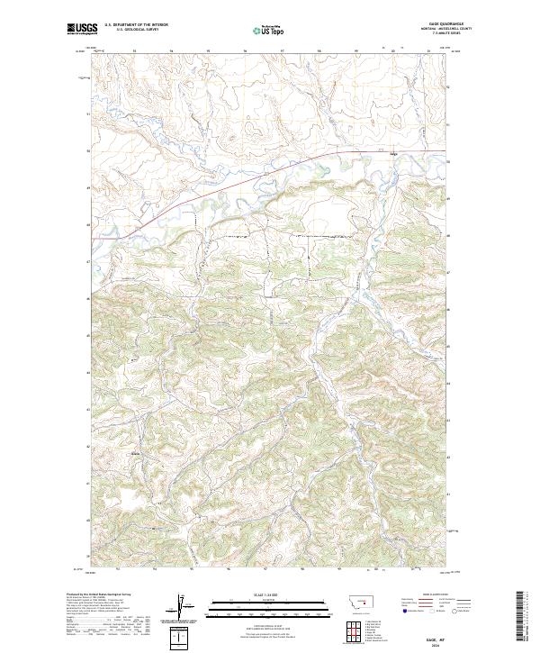
2024 Gage
Musselshell County, MT
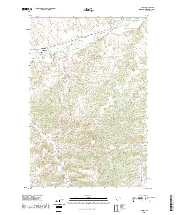
2024 Gage NE
Musselshell County, MT
2024 Harper Coulee
Musselshell County, MT
2024 Hay Basin NE
Musselshell County, MT
2024 Hay Basin North
Musselshell County, MT
2024 Horsethief Creek
Musselshell County, MT
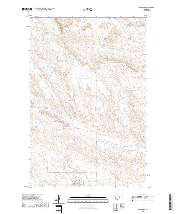
2024 Jim Coulee
Musselshell County, MT
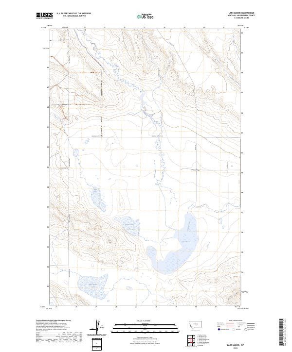
2024 Lake Mason
Musselshell County, MT
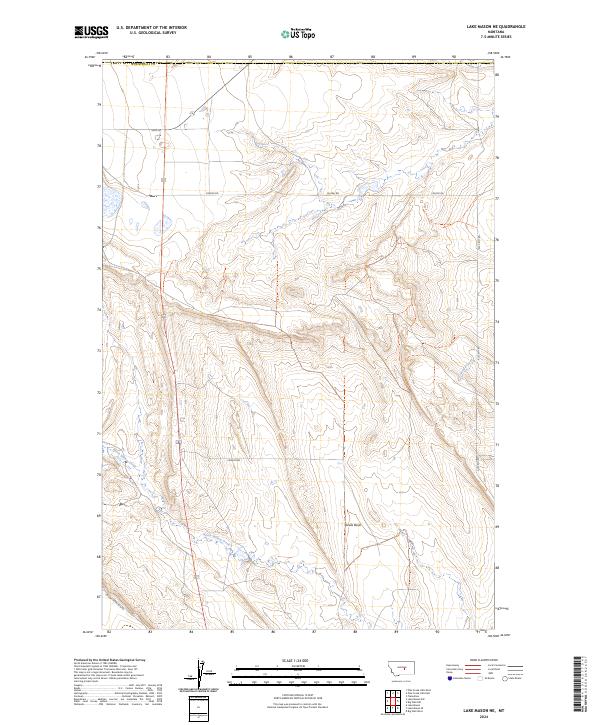
2024 Lake Mason NE
Musselshell County, MT
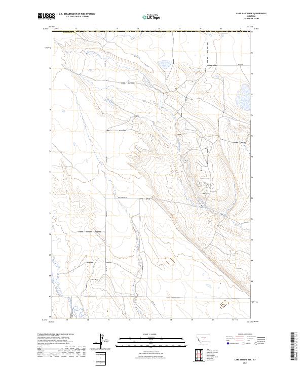
2024 Lake Mason NW
Musselshell County, MT
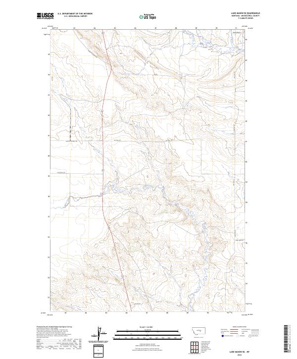
2024 Lake Mason SE
Musselshell County, MT
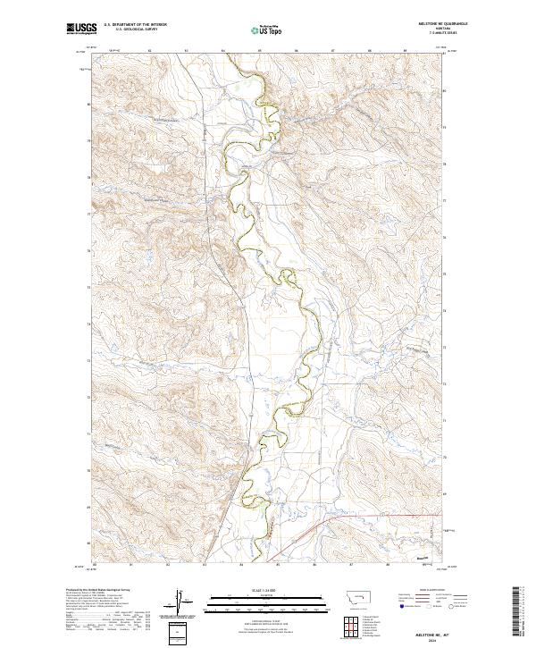
2024 Melstone NE
Musselshell County, MT
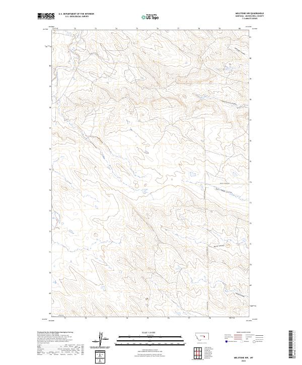
2024 Melstone NW
Musselshell County, MT
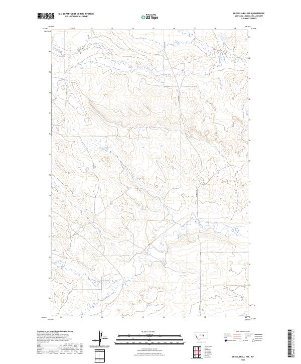
2024 Musselshell NW
Musselshell County, MT

2024 Park Coulee
Musselshell County, MT
2024 Pender Coulee
Musselshell County, MT
2024 Queens Point
Musselshell County, MT
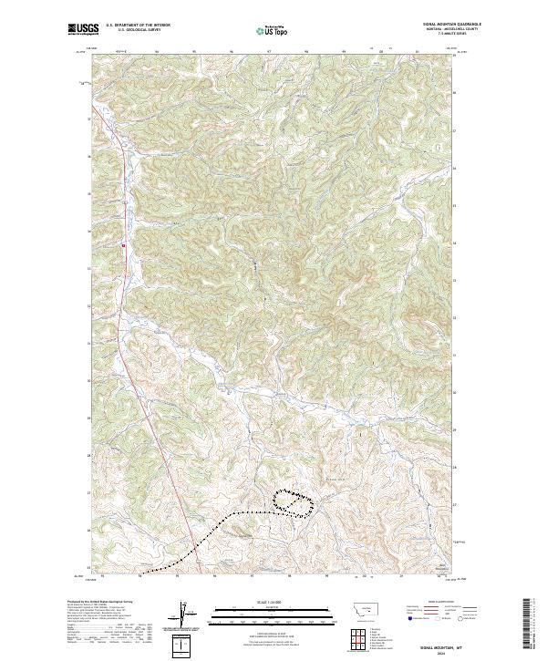
2024 Signal Mountain
Musselshell County, MT
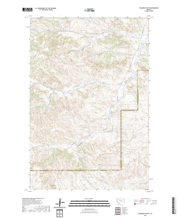
2024 Steamboat Butte
Musselshell County, MT
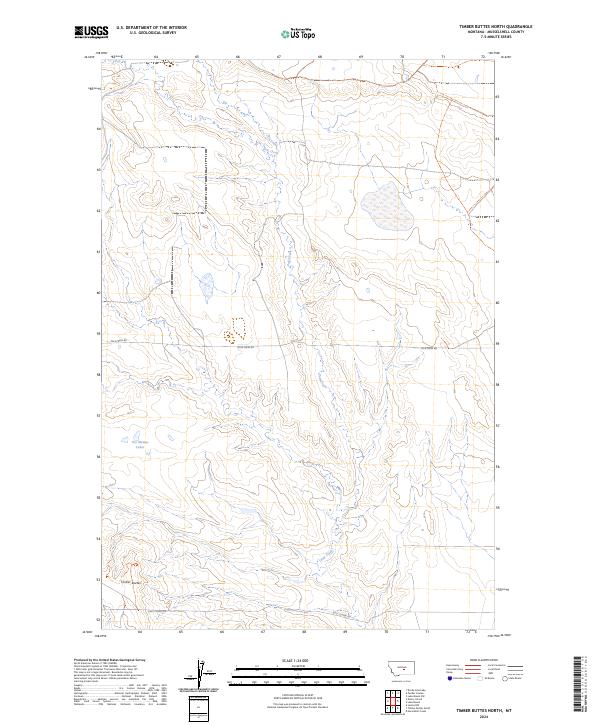
2024 Timber Buttes North
Musselshell County, MT
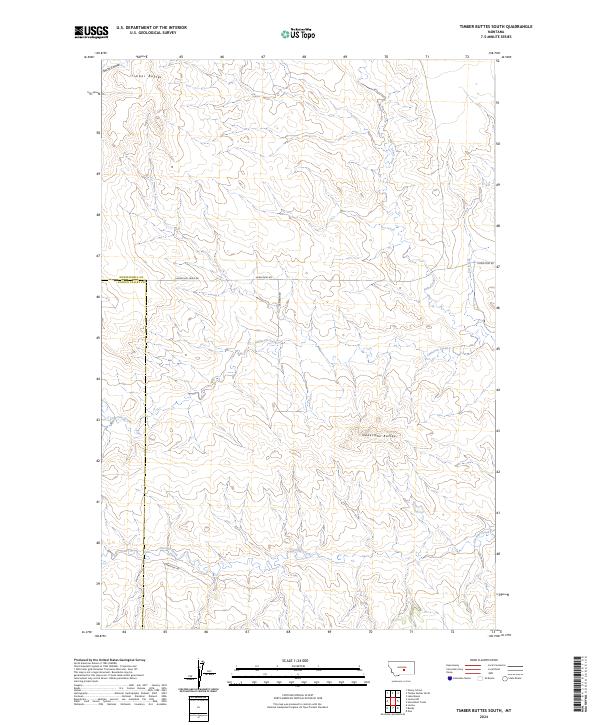
2024 Timber Buttes South
Musselshell County, MT
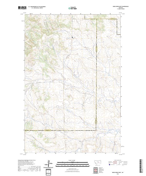
2024 Weed Creek West
Musselshell County, MT