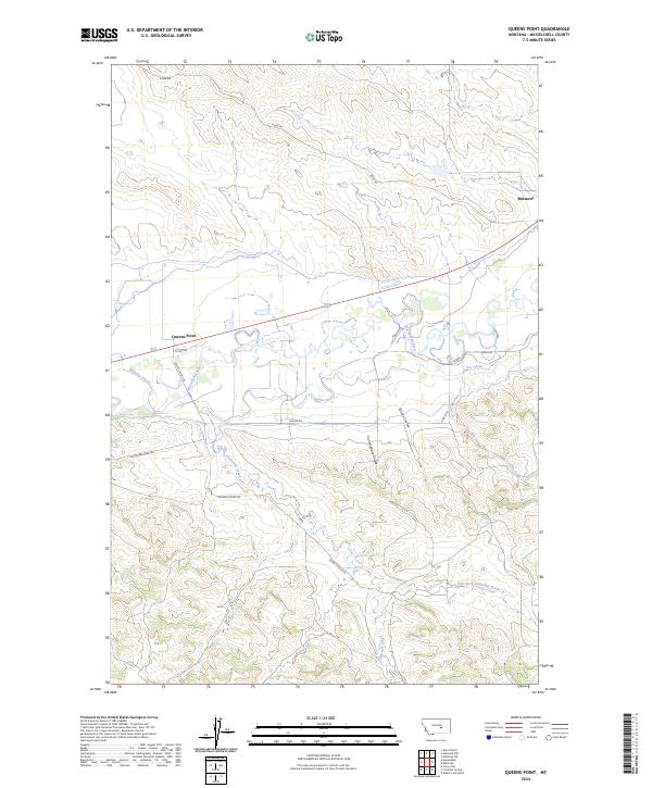
2024 Map of Queens Point
USGS Topo · Published 2024About this map
The Musselshell River carves a winding path through this portion of Musselshell County, defining the local irrigation and transport corridor. The town of Melstone sits at the northeastern edge of the quadrangle, serving as a focal point near the river's bend. To the west, the landmark known as Queens Point overlooks the valley, where the managed waters of the Chandler Ditch reflect the area's agricultural reliance on the river system.
Find a feature on this map
18 named features on this map. Tap any name to fly to it.
Don’t see what you’re looking for? This feature index may not catch every label — zoom into the map to look around manually.
Map Details
Editions of this 2024 Queens Point Map
This is the sole edition of this map. No revisions or reprints were ever made.
Other maps of this area

1954 · Forsyth
USGS Topo · 1:250,000

1954 · Roundup
USGS Topo · 1:250,000

1957 · Forsyth
USGS Topo · 1:250,000

1958 · Roundup
USGS Topo · 1:250,000

1958 · Forsyth
USGS Topo · 1:250,000

1962 · Queens Point
USGS Topo · 1:24,000

1962 · Melstone NE
USGS Topo · 1:24,000

1962 · Melstone NW
USGS Topo · 1:24,000

1963 · Melstone
USGS Topo · 1:24,000

1963 · Musselshell
USGS Topo · 1:24,000