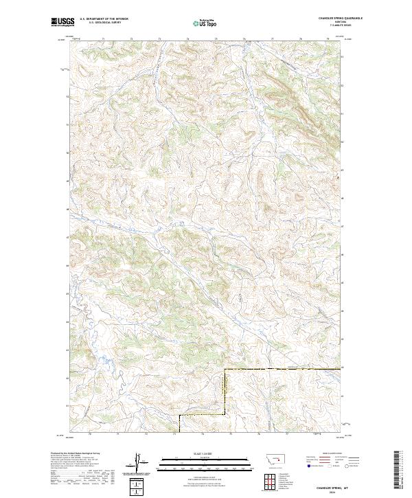
2024 Map of Chandler Spring
USGS Topo · Published 2024About this map
The boundary between Musselshell Co and Yellowstone Co bisects this modern-day Montana landscape, where the high plains are carved by a network of seasonal coulees and perennial streams. The eponymous Chandler Spring remains a vital water source in this arid terrain, located near the headwaters of Carpenter Creek. Transportation is defined by a system of gravel and dirt routes that follow the natural topography, including S Musselshell Rd and Lost Canyon Way, serving the remote ranching operations of the region.
Find a feature on this map
22 named features on this map. Tap any name to fly to it.
Don’t see what you’re looking for? This feature index may not catch every label — zoom into the map to look around manually.
Map Details
Editions of this 2024 Chandler Spring Map
This is the sole edition of this map. No revisions or reprints were ever made.
Other maps of this area

1954 · Forsyth
USGS Topo · 1:250,000

1954 · Roundup
USGS Topo · 1:250,000

1957 · Forsyth
USGS Topo · 1:250,000

1958 · Roundup
USGS Topo · 1:250,000

1958 · Forsyth
USGS Topo · 1:250,000

1962 · Queens Point
USGS Topo · 1:24,000

1963 · Melstone
USGS Topo · 1:24,000

1963 · Musselshell
USGS Topo · 1:24,000

1979 · Roundup
USGS Topo · 1:100,000

1979 · Melstone
USGS Topo · 1:100,000