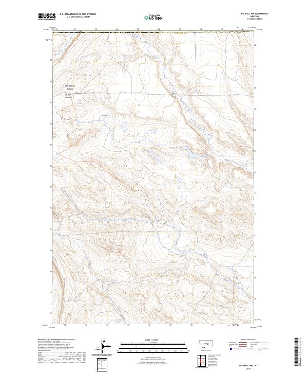
2024 Map of Big Wall NW
USGS Topo · Published 2024About this map
Flat Willow Colony serves as a primary social and agricultural hub within this rural expanse of Musselshell County. Located in the northwestern portion of the map, this Hutterite settlement includes the Flat Willow Hutterite Colony Cem, providing a specific point of interest for genealogical researchers and local historians studying communal living traditions in Montana. The surrounding landscape is defined by the drainage patterns of Little Wall Creek and the meandering path of Crooked Creek, which cuts through the southern sections of the quadrangle.
Find a feature on this map
13 named features on this map. Tap any name to fly to it.
Don’t see what you’re looking for? This feature index may not catch every label — zoom into the map to look around manually.
Map Details
Editions of this 2024 Big Wall NW Map
This is the sole edition of this map. No revisions or reprints were ever made.
Other maps of this area

1954 · Roundup
USGS Topo · 1:250,000

1958 · Roundup
USGS Topo · 1:250,000

1986 · Lake Mason SE
USGS Topo · 1:24,000

1986 · Lake Mason NE
USGS Topo · 1:24,000

1986 · Flatwillow
USGS Topo · 1:24,000

1986 · Pike Creek Hills East
USGS Topo · 1:24,000

1986 · Crowley Dam
USGS Topo · 1:24,000

1986 · Big Wall West
USGS Topo · 1:24,000

1986 · Big Wall NW
USGS Topo · 1:24,000
1986 · Big Wall East
USGS Topo · 1:24,000
Featured Places
- Sunset Hutterite Colony, MT
- Flatwillow Hutterite Colony, MT
- Petroleum County, MT
- Musselshell County, MT
- United States