1962 Map of Queens Point
USGS Topo · Published 1965About this map
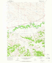
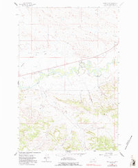
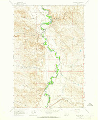
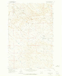
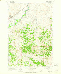
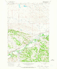
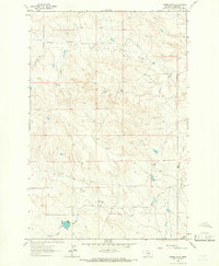
The Musselshell River meanders through the heart of this central Montana landscape, defining the character of the valley in the early 1960s. The settlement of Melstone anchors the northeastern portion of the sheet, situated at the junction of the Chicago Milwaukee St Paul and Pacific railroad and the river. This period survey captures an agricultural and industrial landscape where water management is paramount, evidenced by the Delphia Melstone Canal and the Donaldson Dam.
Find a feature on this map
20 named features on this map. Tap any name to fly to it.
Don’t see what you’re looking for? This feature index may not catch every label — zoom into the map to look around manually.
Map Details
Editions of this 1962 Queens Point Map
2 editions found
Other maps of this area

1954 · Forsyth
USGS Topo · 1:250,000

1954 · Roundup
USGS Topo · 1:250,000

1957 · Forsyth
USGS Topo · 1:250,000

1958 · Roundup
USGS Topo · 1:250,000

1958 · Forsyth
USGS Topo · 1:250,000
1962 · Melstone NE
USGS Topo · 1:24,000
1962 · Melstone NW
USGS Topo · 1:24,000
1963 · Melstone
USGS Topo · 1:24,000
1963 · Musselshell
USGS Topo · 1:24,000
1963 · Akers Ranch
USGS Topo · 1:24,000