Old Maps of Ovando, Montana for Hiking & Exploration
Hike through history with 15 historic maps of Ovando. Explore old trails, ghost towns, and forgotten backroads — perfect for outdoor adventurers and local explorers.
- Rediscover forgotten places: Map out old mining camps, roads, and footpaths that no longer exist on modern maps.
- Layer with modern tools: Combine with LiDAR or satellite views to plan hikes through historical terrain.
- Made for exploration: Popular among hikers, overlanders, and local history lovers.
Use these maps to find adventure and explore the hidden past of Ovando.
Ovando, MT maps
(15)- 1902 Map of Ovando, 1960 Print
 1902 Ovando1960 Print · USGSMontana's mountain ranchlands come into focus at the turn of the century, centered on the valley around Ovando. Genealogists and historians can trace numerous family homesteads and early outposts, including Danaher's Ranch, Woodworth, and Blanchard's Ranch.2 unique versions available
 - 1905 Map of Ovando
 1905 Ovando1905 Print · USGSThe Montana backcountry at the turn of the century is a landscape of isolated homesteads and forest reserves. Researchers can locate early family-owned landmarks like Danaher's Ranch and Jakway's Ranch or trace the early timber works at Logging Camp.2 unique versions available
 - 1955 Map of Choteau, 1978 Print
 1955 Choteau1978 Print · USGSWestern Montana during the mid-fifties is captured here as a land of rugged high-country wilderness and vital eastern plains irrigation. Genealogists and historians can locate remote outposts like Condon, the communal Miller Colony, and the rail stops of the Chicago Milwaukee St Paul and Pacific.
 - 1957 Map of Choteau
 1957 Choteau1957 Print · USGSMontana's mountain front meets the eastern plains in the mid-fifties, showing the transition from forested wilderness to irrigated ranch land. Genealogists and historians can trace the rail lines of the Great Northern and find settlements like Choteau, Augusta, and Seeley Lake.
 - 1958 Map of Choteau
 1958 Choteau1958 Print · USGSMontana's front range meets the high wilderness in the late fifties, where the Great Northern railway connects ranching towns to the eastern plains. Researchers can trace the development of irrigation at Bynum Reservoir or locate remote camps like the Big Prairie District Ranger Station and Helmville.2 unique versions available
 - 1962 Map of Choteau
 1962 Choteau1962 Print · USGSThe Rocky Mountain Front meets the western plains in the early 1960s, showing a landscape defined by the Continental Divide. Genealogists and researchers can trace the tracks of the Great Northern and find settlements like Choteau, Augusta, and Bynum.
 - 1968 Map of Ovando, 1971 Print
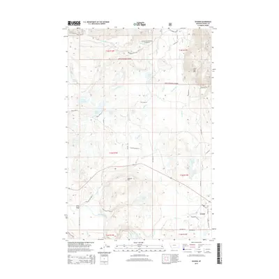
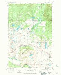 1968 Ovando1971 Print · USGSThe Blackfoot River valley in the late 1960s reveals a landscape of high-country ranching and forest management. Researchers can trace historic property boundaries like the Two Creek Ranch, find the Lookout Tower on Monture Hill, and locate old crossings at Scotty Brown Bridge.2 unique versions available
 - 1976 Map of Choteau
 1976 Choteau1976 Print · USGSThe Montana Rocky Mountain Front meets the plains in the 1970s, showcasing the high-altitude wilderness and the irrigation-fed ranching country. Trace the Great Northern Railway through Choteau or locate rural landmarks like the Farmington Cemetery and Gibson Reservoir.
 - 1993 Map of Seeley Lake
 1993 Seeley Lake1993 Print · USGSThe Seeley Lake region in the early nineties is shown here as a landscape defined by its great wilderness boundaries and glacial waters. Researchers can trace the layout of Seeley Lake, the remote Danaher Guard Station, and historic routes like Montana 200 near Ovando.
 - 1999 Map of Ovando, 2003 Print
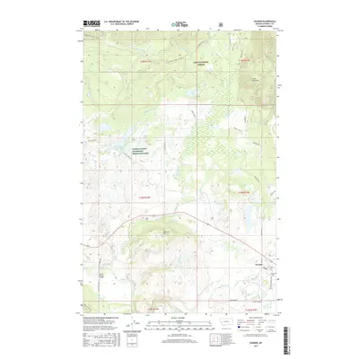
 1999 Ovando2003 Print · USGSThe Blackfoot River valley in the 1990s remained a landscape of isolated ranching outposts and protected wilderness. Researchers can trace the layout of the Ovando townsite and locate historic rural properties like the Two Creek Ranch and Monture Hereford Ranch.
 - 2011 Map of Ovando, 2011 Print
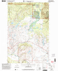
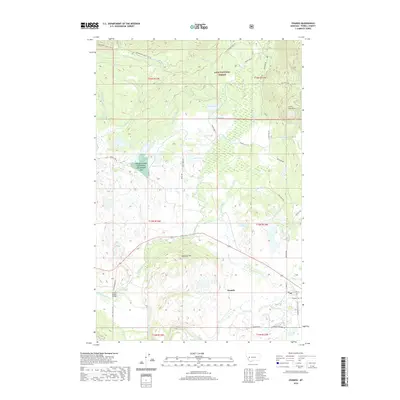
 2011 Ovando2011 Print · USGSCovers Ovando, including Powell County, United States, and other nearby areas
 - 2014 Map of Ovando, 2014 Print
 2014 Ovando2014 Print · USGSCovers Ovando, including Powell County, United States, and other nearby areas
 - 2017 Map of Ovando, 2017 Print
 2017 Ovando2017 Print · USGSCovers Ovando, including Powell County, United States, and other nearby areas
 - 2020 Map of Ovando, 2020 Print
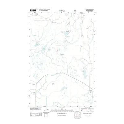
 2020 Ovando2020 Print · USGSCovers Ovando, including Powell County, United States, and other nearby areas
 - 2024 Map of Ovando, 2024 Print
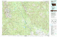
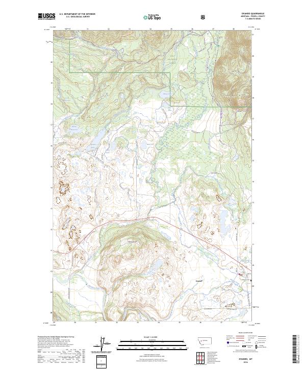 2024 Ovando2024 Print · USGSOvando and the Blackfoot River valley are captured here in the twenty-first century, showing a landscape defined by ranching and conservation. Genealogists and researchers can locate the Ovando Cemetery and trace old routes like the Seeley Lake-Monture Trail.
End of results
Showing maps 1-15 of 15
Top cities near Ovando
Frequently asked questions
- What are the different types of historical maps available for Ovando?
- What is the oldest map of Ovando?
- Where can I purchase historical maps of Ovando for my home or office?
- Where can I download high-res historical maps of Ovando?
- Are there historical topographic maps available for Ovando?
- Is there historical aerial imagery available for Ovando?
- Where are historical maps of Ovando sourced from?