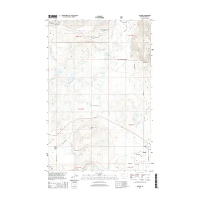
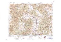
2014 Map of Ovando
USGS Topo · Published 2014About this map
Ovando serves as the primary hub in this portion of the Blackfoot Valley, situated where the Blackfoot River meets a network of vital mountain drainages. The landscape is defined by the transition from the high elevations of the Lolo National Forest into a valley floor marked by glacial features, including numerous prairie potholes and larger bodies of water like Upsata Lake, James Lake, and Lahrity Lake. These water resources were historically managed through an intricate system of irrigation, evidenced by the Dunham Cr Ditch and Barbour Ditch.
Find a feature on this map
58 named features on this map. Tap any name to fly to it.
Don’t see what you’re looking for? This feature index may not catch every label — zoom into the map to look around manually.
Map Details
Editions of this 2014 Ovando Map
This is the sole edition of this map. No revisions or reprints were ever made.
Other maps of this area
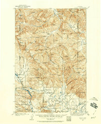
1902 · Ovando
USGS Topo · 1:125,000
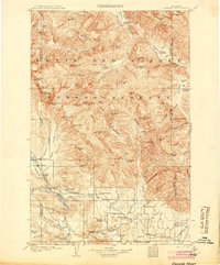
1905 · Ovando
USGS Topo · 1:125,000
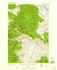
1919 · Drummond
USGS Topo · 1:125,000
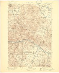
1921 · Drummond
USGS Topo · 1:125,000

1947 · Butte
USGS Topo · 1:250,000
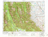
1955 · Choteau
USGS Topo · 1:250,000
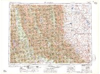
1957 · Choteau
USGS Topo · 1:250,000

1958 · Butte
USGS Topo · 1:250,000
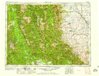
1958 · Choteau
USGS Topo · 1:250,000
1960 · Butte
USGS Topo · 1:250,000