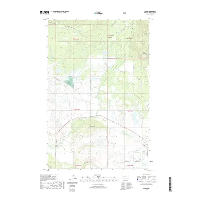
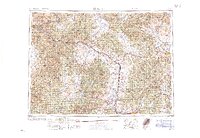
2020 Map of Ovando
USGS Topo · Published 2020About this map
The community of Ovando serves as a central hub in this Montana landscape, where the Blackfoot River flows near the southwestern corner of the quadrangle. Significant conservation efforts are evident in the Powell County Waterfowl Production Area, which encompasses several bodies of water including Upsata Lake and James Lake. The northern reaches are dominated by the Lolo National Forest, characterized by numerous drainages such as Shonley Cr and Shoup Cr that feed into the larger river system.
Find a feature on this map
56 named features on this map. Tap any name to fly to it.
Don’t see what you’re looking for? This feature index may not catch every label — zoom into the map to look around manually.
Map Details
Editions of this 2020 Ovando Map
This is the sole edition of this map. No revisions or reprints were ever made.
Other maps of this area
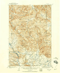
1902 · Ovando
USGS Topo · 1:125,000
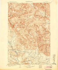
1905 · Ovando
USGS Topo · 1:125,000
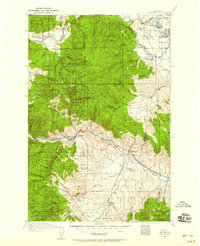
1919 · Drummond
USGS Topo · 1:125,000
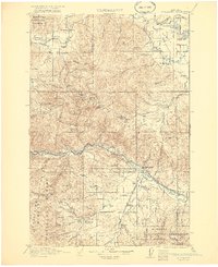
1921 · Drummond
USGS Topo · 1:125,000

1947 · Butte
USGS Topo · 1:250,000
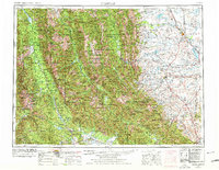
1955 · Choteau
USGS Topo · 1:250,000
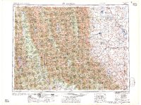
1957 · Choteau
USGS Topo · 1:250,000

1958 · Butte
USGS Topo · 1:250,000
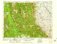
1958 · Choteau
USGS Topo · 1:250,000
1960 · Butte
USGS Topo · 1:250,000