2020s Maps of Silver Bow County, Montana
Explore 58 historic maps of Silver Bow County from the 2020s. These maps offer a rare glimpse into what life looked like during the 2020s — showing old roads, neighborhoods, homes, and landmarks that have changed or disappeared over time.
Whether you're researching your family's past, planning a metal detecting trip, or studying how Silver Bow County's landscape evolved across the 2020s, these high-resolution maps are a powerful tool for exploring the history of this region.
- Focus on a specific era: All maps on this page are from the 2020s, giving you a focused view of this time period.
- See what’s changed: Compare century-old streets, trails, and buildings to today's modern landscape using overlays and satellite layers.
- Research with precision: Use these maps for genealogy, historical research, land use analysis, or educational projects.
- View, download, or print: Maps are fully viewable online in high resolution, and can be downloaded or printed for your own records.
Start exploring Silver Bow County's history through authentic maps from the 2020s. This is your window into the past.
Silver Bow County, MT maps
(58)- 2020 Map of Burnt Mountain, 2020 Print
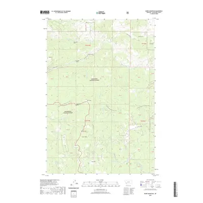 2020 Burnt Mountain2020 Print · USGSThe Silver Bow County high country is shown here in modern detail, where the Continental Divide splits two national forests. You can trace the Continental Divide National Scenic Trail past Burnt Mtn and explore the historic drainages of German Gulch and Fleecer Ridge.
 - 2020 Map of Vendome, 2020 Print
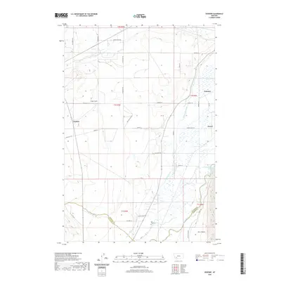 2020 Vendome2020 Print · USGSSouthwestern Montana's ranching and river lands are captured here in the early twenty-first century, showing the intersection of three counties. You can trace historic travel routes along Stage Coach Rd, locate the Fish Creek Cem, and explore the intricate irrigation systems of the Jefferson Canal.
 - 2020 Map of Pipestone Pass, 2020 Print
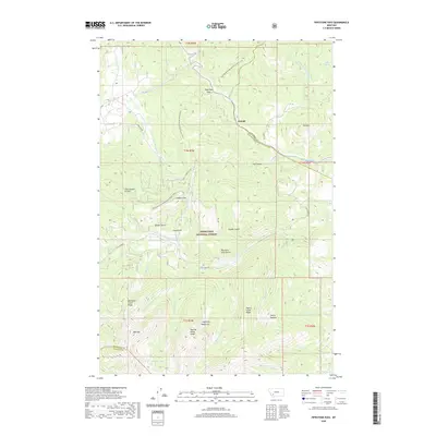 2020 Pipestone Pass2020 Print · USGSPipestone Pass and the Highland Mountains are captured here in the 2020s, showcasing the intersection of the Continental Divide and Deerlodge National Forest. Hikers and historians can trace the Continental Divide National Scenic Trail past Emerald Lake and the settlement at Donald.
 - 2020 Map of Waterloo, 2020 Print
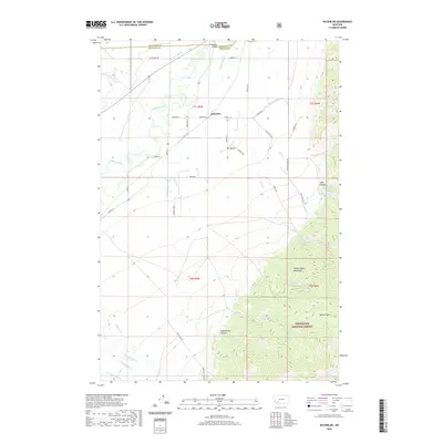 2020 Waterloo2020 Print · USGSThe Jefferson River valley meets the Tobacco Root Mountains in this recent Montana survey. Genealogists and local historians can trace the irrigation network of Parrot Ditch and find landmarks like Parsons Bridge and the Old Stage Rd.
 - 2020 Map of Tucker Creek, 2020 Print
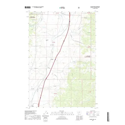 2020 Tucker Creek2020 Print · USGSSilver Bow County at the dawn of the 2020s shows a landscape where the continental divide meets the interstate corridor. Genealogists and local historians can trace the paths between Woodin and Divide or follow the Continental Divide National Scenic Trail through Butler Meadow.
 - 2020 Map of Mount Humbug, 2020 Print
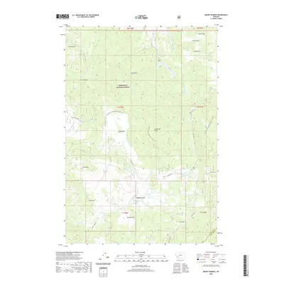 2020 Mount Humbug2020 Print · USGSSilver Bow and Madison counties meet along the Continental Divide in this modern survey of the Deerlodge National Forest. You can trace the rugged transition from Mt Humbug down to the creek-side settlements at Moose Town and Gold Hill.
 - 2020 Map of Wise River, 2020 Print
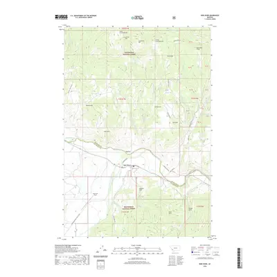 2020 Wise River2020 Print · USGSThe confluence of the Big Hole and Wise rivers near the Beaverhead National Forest highlights this recent study of Montana’s high-country terrain. Researchers can trace historic access routes like Narrow Guage Rd and name-rich landmarks such as Patton Spring and Granulated Pass.
 - 2020 Map of Cattle Gulch, 2020 Print
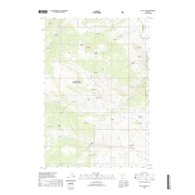 2020 Cattle Gulch2020 Print · USGSSilver Bow and Beaverhead counties meet in this high-country landscape as it appeared in 2020. Researchers can trace the proximity of the Glendale settlement to the Big Hole River and locate family-named features like Picketts Pasture or Devils Hole.
 - 2020 Map of Earls Gulch, 2020 Print
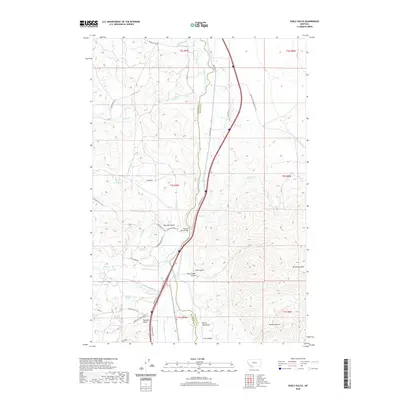 2020 Earls Gulch2020 Print · USGSThe Big Hole River valley south of Butte was a vital corridor for transportation and ranching during the early twenty-first century. Researchers can trace the winding paths of Brownes Gulch and Sassman Gulch or locate landmarks like the Big Hole River Bridge.
 - 2020 Map of Silver Star, 2020 Print
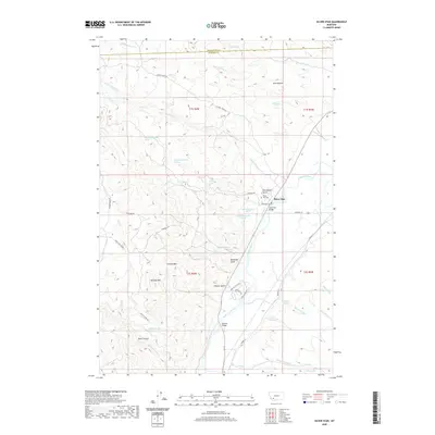 2020 Silver Star2020 Print · USGSThe Jefferson River valley in southwestern Montana reveals a landscape of ranching and mountain terrain in the early 21st century. Genealogists and historians can trace family ties at the Silver Star Cemetery or locate landmarks like the Ironrod Bridge and Bulldog Mtn.
 - 2020 Map of Grace, 2020 Print
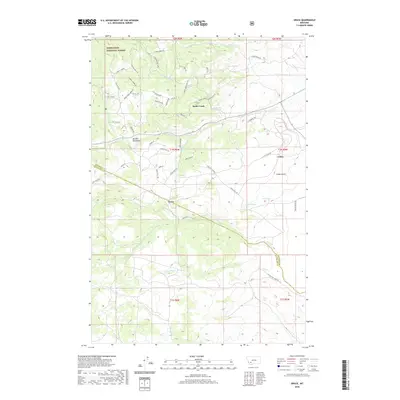 2020 Grace2020 Print · USGSNear the border of Silver Bow and Jefferson counties in the 2020s, this area showcases the intersection of public forest land and mountain settlements. Researchers can trace the drainage of Fish Cr and locate specific sites like Grace, Cedric, and Rader Creek.
 - 2020 Map of Dewey, 2020 Print
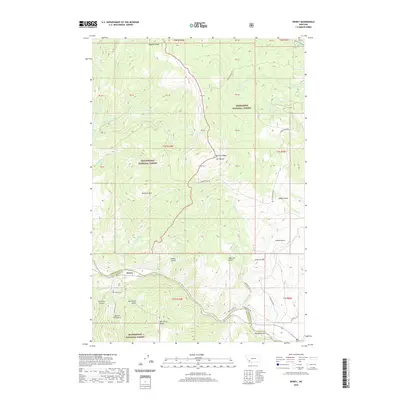 2020 Dewey2020 Print · USGSThe Big Hole River corridor comes to life in this modern survey of the Montana high country. Genealogists and historians can trace the riverside settlement of Dewey, locate the Dewey Cem, and explore the gulches and ridges of the Beaverhead National Forest.
 - 2020 Map of Wickiup Creek, 2020 Print
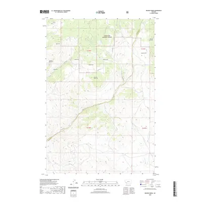 2020 Wickiup Creek2020 Print · USGSThe Highland Mountains of southwest Montana are mapped here in the early twenty-first century, spanning the border of Silver Bow and Madison counties. Local historians can trace high-country routes like Camp Creek Rd past landmarks such as King and Queen Hill and Pandora Mtn.
 - 2020 Map of Dickie Peak, 2020 Print
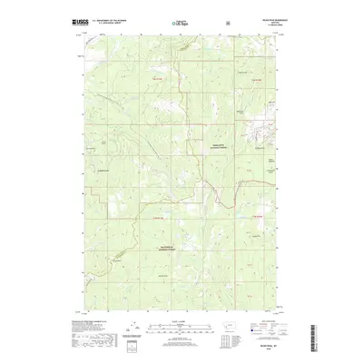 2020 Dickie Peak2020 Print · USGSThe high country of the Continental Divide comes into sharp focus in this 2020 record of the Montana wilderness. Hikers and historians can trace the Continental Divide National Scenic Trail as it passes near French Town, Dickie Peak, and the waters of Fish Lake.
 - 2020 Map of Table Mountain, 2020 Print
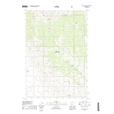 2020 Table Mountain2020 Print · USGSThe Highland Mountains straddle the Silver Bow and Madison county lines in this 2020 study of the Deerlodge National Forest. Researchers can trace old mountain routes like Hells Canyon Rd and locate remote water sources like Seidensticker Number Two Spring and Little Cherry Creek Springs.
 - 2020 Map of Elk Park Pass, 2020 Print
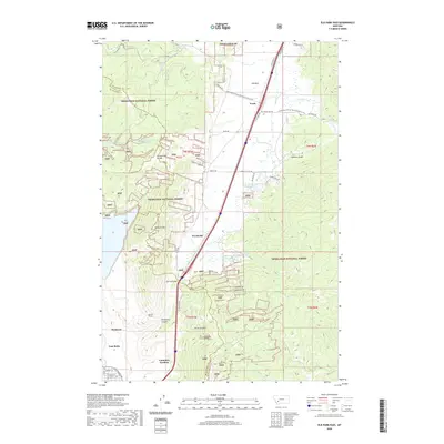 2020 Elk Park Pass2020 Print · USGSThe high Divide north of Butte comes into focus in the early twenty-first century, showing the transition from industrial mining outskirts to mountain forest. Researchers can trace the path of the Monitor Tunnel or locate the site of the historic Columbia Gardens.
 - 2020 Map of Warm Springs, 2020 Print
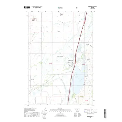 2020 Warm Springs2020 Print · USGSAnaconda-Deer Lodge County is documented here in the early twenty-first century, showing the intersection of irrigation and wilderness. Trace local landmarks like Warm Springs, the Jacobson Ditch, and Bowman Field along the Clark Fork valley.
 - 2020 Map of Lockhart Meadows, 2020 Print
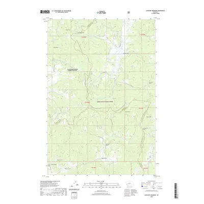 2020 Lockhart Meadows2020 Print · USGSThe high country of the Continental Divide in the early twenty-first century is captured here at the junction of three Montana counties. Hikers and historians can trace the Continental Divide National Scenic Trail as it passes Champion Pass, Lockhart Meadows, and Gospel Hill.
 - 2020 Map of Ramsay, 2020 Print
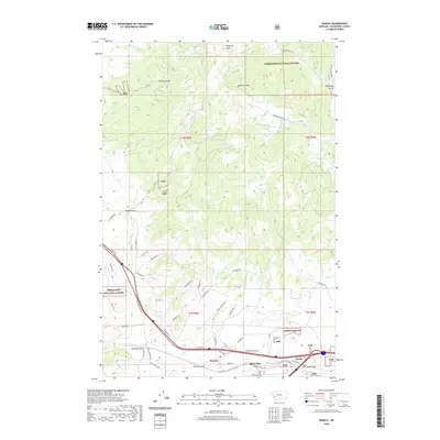 2020 Ramsay2020 Print · USGSSilver Bow County at the start of the 2020s shows a landscape where industrial rail corridors meet protected forest lands. Researchers can trace the development of Ramsay and Nissler or locate family-named landmarks like McCleery Gulch and Browns Gulch.
 - 2020 Map of Opportunity, 2020 Print
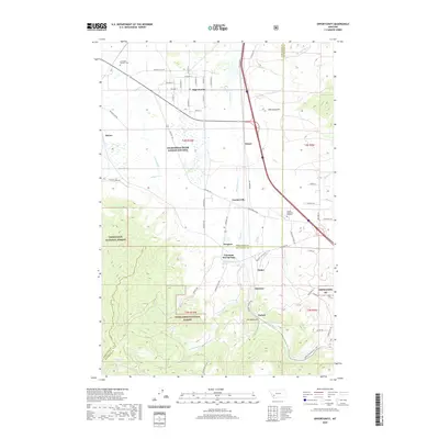 2020 Opportunity2020 Print · USGSThe Silver Bow Creek valley in the late 2010s reveals a blend of mountainous national forest and historic mining-era settlements. Genealogists and historians can trace the developments at Opportunity, the resort grounds of Fairmont Hot Springs, and the Anaconda Catholic Cem.
 - 2020 Map of Butte North, 2020 Print
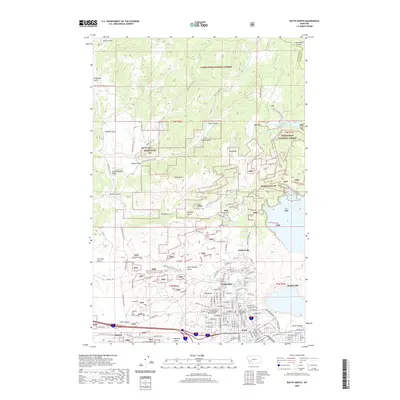 2020 Butte North2020 Print · USGSThe copper-mining legacy of the northern Rockies is on display in this contemporary look at the Butte area. Local historians can trace the streets of historic mining camps like Walkerville and Meaderville or locate landmarks like the Butte-Silver Bow County Courthouse.
 - 2020 Map of Anaconda South, 2020 Print
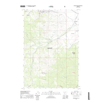 2020 Anaconda South2020 Print · USGSThe southern outskirts of Anaconda and the rugged Continental Divide are captured here in the contemporary era. Researchers can locate significant local heritage sites like Upper Hill Cem or trace the remote drainages of Sugarloaf Mtn and Elk Cr.
 - 2020 Map of Orofino Mountain, 2020 Print
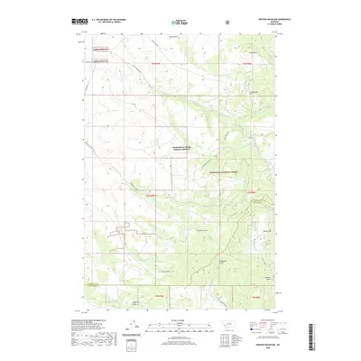 2020 Orofino Mountain2020 Print · USGSAnaconda-Deer Lodge County is documented here in the modern era, showing the intersection of high mountain peaks and protected forest land. Researchers can trace the drainages of Perkins Gulch, Telegraph Gulch, and the remote Barrel Springs.
 - 2020 Map of Dickie Hills, 2020 Print
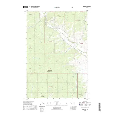 2020 Dickie Hills2020 Print · USGSThe high country of Silver Bow and Beaverhead counties is documented here in the early twenty-first century as the Big Hole River flows past Dickie Hills. Researchers can trace the remote roads and peaks of the Beaverhead National Forest, including Dickie Bridge and Round Top Mtn.
 - 2020 Map of Lincoln Gulch, 2020 Print
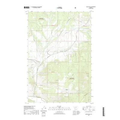 2020 Lincoln Gulch2020 Print · USGSThe Anaconda-Pintler wilderness area in the early twenty-first century reveals a landscape of high-altitude mining history and rugged forest terrain. Trace the paths of prospectors through Lincoln Gulch, French Gulch, and along the banks of the Big Hole River.
Showing maps 1-25 of 58
Top cities of Silver Bow County
Frequently asked questions
- What are the different types of historical maps available for Silver Bow County?
- What is the oldest map of Silver Bow County?
- Where can I purchase historical maps of Silver Bow County for my home or office?
- Where can I download high-res historical maps of Silver Bow County?
- Are there historical topographic maps available for Silver Bow County?
- Is there historical aerial imagery available for Silver Bow County?
- Where are historical maps of Silver Bow County sourced from?