2000s (21st Century) Maps of Silver Bow County, Montana
Explore 145 historic maps of Silver Bow County from the 2000s (21st Century). These maps offer a rare glimpse into what life looked like during the 2000s — showing old roads, neighborhoods, homes, and landmarks that have changed or disappeared over time.
Whether you're researching your family's past, planning a metal detecting trip, or studying how Silver Bow County's landscape evolved across the 2000s, these high-resolution maps are a powerful tool for exploring the history of this region.
- Focus on a specific era: All maps on this page are from the 2000s, giving you a focused view of this time period.
- See what’s changed: Compare century-old streets, trails, and buildings to today's modern landscape using overlays and satellite layers.
- Research with precision: Use these maps for genealogy, historical research, land use analysis, or educational projects.
- View, download, or print: Maps are fully viewable online in high resolution, and can be downloaded or printed for your own records.
Start exploring Silver Bow County's history through authentic maps from the 2000s. This is your window into the past.
Silver Bow County, MT maps
(145)- 2011 Map of Dickie Peak, 2011 Print
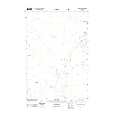 2011 Dickie Peak2011 Print · USGSSilver Bow County’s high-country mining landscape is captured here in the early twenty-first century, centered on the rugged drainages southwest of Butte. You can locate historic mineral sites like the Patsy Ann Mine and Hungry Hill Mine, or trace the winding German Gulch Rd past French Town.
 - 2011 Map of Burnt Mountain, 2011 Print
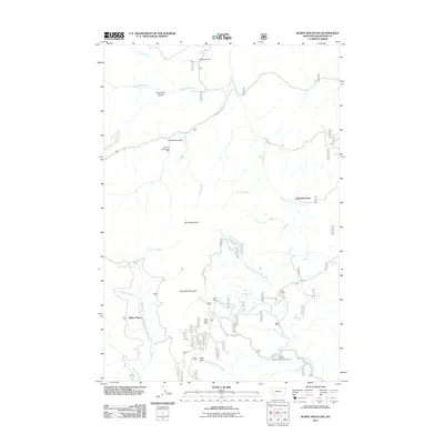 2011 Burnt Mountain2011 Print · USGSSilver Bow County’s mining and ranching history is preserved on this 2011 survey of the Continental Divide. Researchers can trace the footprints of industry at the German Gulch Placer Mine or locate early family sites like Sciuchetti Place and Bull Ranch.
 - 2011 Map of Earls Gulch, 2011 Print
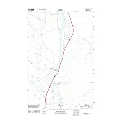 2011 Earls Gulch2011 Print · USGSSilver Bow County ranching and river access are the focus of this Montana survey at the start of the decade. Genealogists and historians can locate family-named landmarks like McCullough Ranch and Kambich Ranch, or trace industrial sites like the Tungsten Mill.
 - 2011 Map of Wickiup Creek, 2011 Print
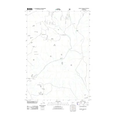 2011 Wickiup Creek2011 Print · USGSSilver Bow County mining operations are documented in detail in this 2011 survey of the high mountain terrain south of Butte. Researchers can trace the exact locations of dozens of claims and landmarks, including the Penobscot Mine, Smith Dam, and Clipper Mine.
 - 2011 Map of Buxton, 2011 Print
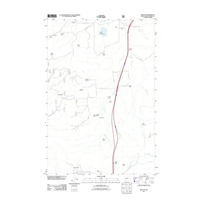 2011 Buxton2011 Print · USGSSilver Bow County at the start of the 2010s reveals a landscape shaped by mining, water management, and the high-country rail corridor. Genealogists and historians can trace local industry at the NW NE Section 32 Mine and the rail sidings at Buxton and Feely.
 - 2011 Map of Silver Star, 2011 Print
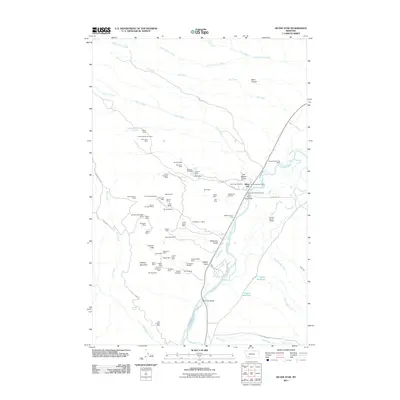 2011 Silver Star2011 Print · USGSThe mining-intensive landscape of Silver Star, Montana, is documented here in the early 21st century. Researchers can trace dozens of individual claims like the Green Campbell Mine and Silver Star Mine alongside landmarks like the Silver Star Post Office.
 - 2011 Map of Table Mountain, 2011 Print
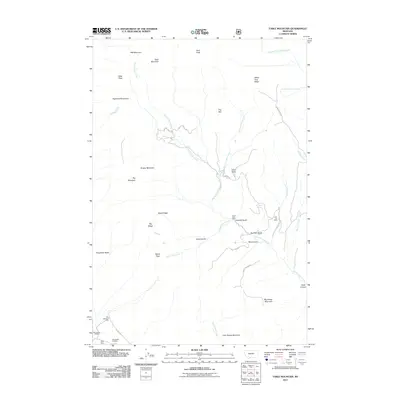 2011 Table Mountain2011 Print · USGSSilver Bow County’s mining and timber heritage is captured here in the early twenty-first century as it manifests in the high peaks south of Butte. Researchers can trace land use through sites like the Julia Lee Mine, Big Bonanza Mine, and Sawmill Gulch.
 - 2011 Map of Tucker Creek, 2011 Print
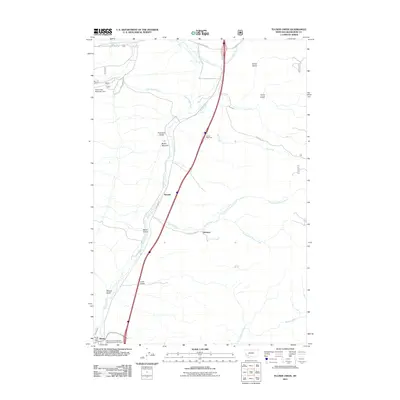 2011 Tucker Creek2011 Print · USGSSilver Bow County at the start of the 2010s reveals a high-country landscape shaped by the Interstate corridor and traditional mountain settlements. Researchers can trace the local infrastructure around Divide, including the Divide Post Office and Woodin.
 - 2011 Map of Grace, 2011 Print
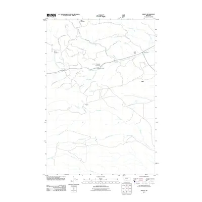 2011 Grace2011 Print · USGSThe Silver Bow County backcountry comes into focus in this modern era survey, showing the mountain settlements of Grace and Nineteen Mile. Researchers can trace old mining operations like the SE SW Section 7 Mine and historic tracks including Prospectors Loop.
 - 2011 Map of Wise River, 2011 Print
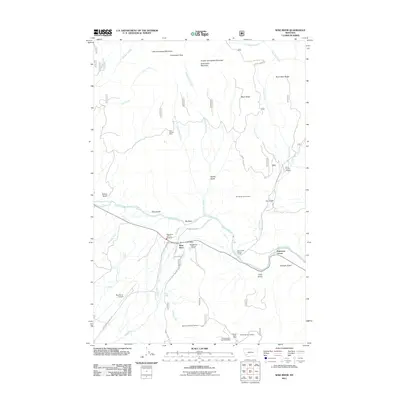 2011 Wise River2011 Print · USGSSilver Bow County at the start of the 2010s shows a mountain landscape defined by the confluence of the Big Hole River and the Wise River. Genealogists and historians can trace the local mining legacy at Keystone Number 20 Mine or locate early civic landmarks like the Wise River Post Office.
 - 2011 Map of Mount Humbug, 2011 Print
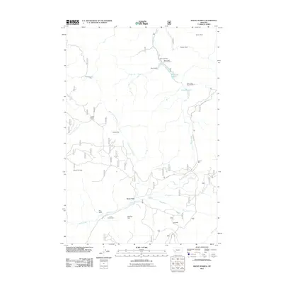 2011 Mount Humbug2011 Print · USGSThe mining and ranching country south of Butte is revealed here in the early 2000s, showcasing a landscape shaped by resource extraction. Researchers can locate specific legacy operations such as the Highland Mine and trace the waters of the Basin Creek Reservoir near Moose Town.
 - 2011 Map of Dewey, 2011 Print
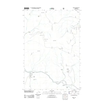 2011 Dewey2011 Print · USGSSilver Bow County’s mining history and the river corridor come into focus during this 2011 study. Researchers can trace the proximity of historic workings like the Old Tom Horn Mine to local landmarks such as Dewey Cemetery and Big Hole Dam.
 - 2011 Map of Melrose, 2011 Print
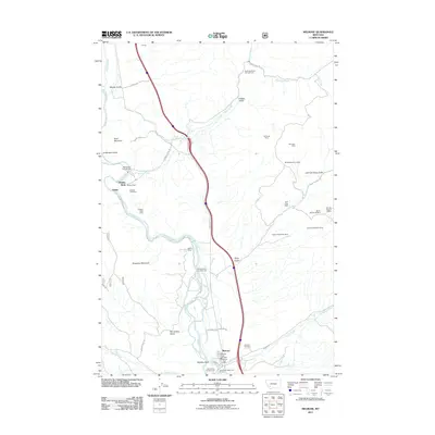 2011 Melrose2011 Print · USGSSilver Bow County in the early twenty-first century remains a landscape defined by its mining heritage and the winding Big Hole River. Genealogists and historians can locate the Melrose Cemetery or trace old mining claims like the Berlin Mine and Tamarack Mine.
 - 2011 Map of Waterloo, 2011 Print
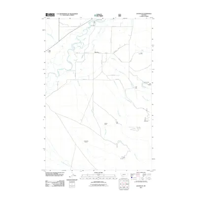 2011 Waterloo2011 Print · USGSNear the Jefferson River in the early twenty-first century, this area shows a landscape of valley ranching and highland mining. Genealogists and historians can trace family operations at Silver Bow Ranch or locate old workings like Shaky Spring Mine and the Strawn Mines.
 - 2011 Map of Homestake, 2011 Print
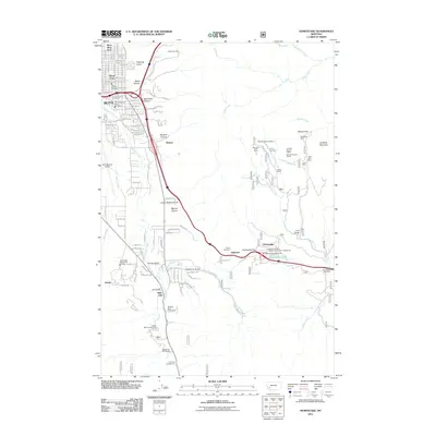 2011 Homestake2011 Print · USGSSilver Bow County at the peak of the Continental Divide reveals a landscape where Butte's industrial reach meets high-mountain passes. Trace the legacy of mountain mining at the Mountain Chief Mine or follow the rail-and-road paths through Homestake Pass and Tunnel Number 5.
 - 2011 Map of Pipestone Pass, 2011 Print
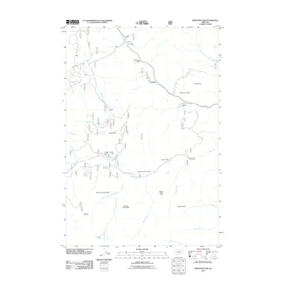 2011 Pipestone Pass2011 Print · USGSHigh-altitude ridges and watercourses define this section of the Montana divide in the early twenty-first century. Researchers can locate the SE NW Section 18 Mine, trace the rail-adjacent settlement at Donald, and explore the terrain around Pipestone Pass.
 - 2011 Map of Vendome, 2011 Print
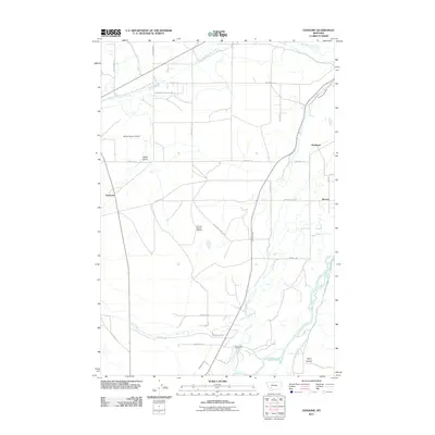 2011 Vendome2011 Print · USGSThe Jefferson River valley near Butte comes into focus in the early 2010s, showcasing a landscape of small settlements and intensive irrigation. Genealogists and historians can locate Fish Creek Cemetery and trace old routes like Old Stagecoach Rd and Vendome.
 - 2011 Map of Lincoln Gulch, 2011 Print
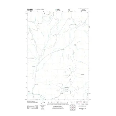 2011 Lincoln Gulch2011 Print · USGSThe Montana high country near Butte is documented here in the early twenty-first century, showing a landscape shaped by ranching and historic mining. Researchers can trace family ranch sites like Rousch Ranch and Ralston Ranch or locate the Forest Rose Mine and Deep Creek Ski Area.
 - 2011 Map of Dickie Hills, 2011 Print
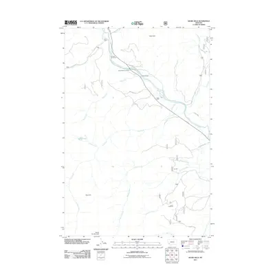 2011 Dickie Hills2011 Print · USGSThe Big Hole River valley comes into sharp focus during the early twenty-first century, showing a mix of mountain ranching and high-country mining. You can trace early landholdings at Davis Ranch and locate historical workings like the Star Mine and Bryant Creek Mine.
 - 2011 Map of Orofino Mountain, 2011 Print
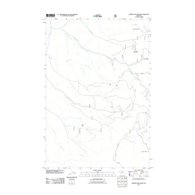 2011 Orofino Mountain2011 Print · USGSThe Montana high country near Butte is documented here in the early twenty-first century, showcasing a landscape shaped by mining and rugged drainages. Researchers can locate specific operations like the Butte Pacific Mine or trace the paths of Perkins Gulch and Orofino Creek.
 - 2011 Map of Anaconda South, 2011 Print
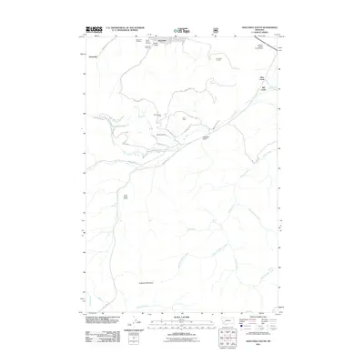 2011 Anaconda South2011 Print · USGSAnaconda at the start of the twenty-first century reveals the enduring scale of its industrial mining heritage and the rugged mountains rising south of town. Researchers can locate specific workings like the Moonlight Mine and trace family records through the Mount Carmel Cemetery or Lower Hill Cemetery.
 - 2011 Map of Ramsay, 2011 Print
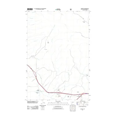 2011 Ramsay2011 Print · USGSSilver Bow County at the turn of the decade reveals a landscape where industrial heritage meets mountain terrain. Genealogists and researchers can trace local centers like Ramsay and Nissler, or locate mining sites such as the Tuxedo Mine and Butte and Zenith Mine.
 - 2011 Map of Lockhart Meadows, 2011 Print
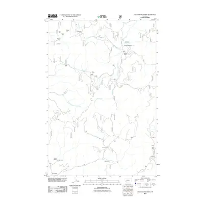 2011 Lockhart Meadows2011 Print · USGSSilver Bow County mining and ranching legacies are preserved in this early twenty-first-century survey of the high country. Researchers can trace historic extraction sites like the Ruby Mine and Champion Mine alongside the namesake Lockhart Meadows.
 - 2011 Map of Warm Springs, 2011 Print
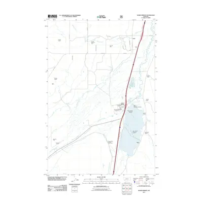 2011 Warm Springs2011 Print · USGSMining and water management define the Deer Lodge Valley in the early twenty-first century as industrial tailings ponds sit alongside historic settlements. Researchers can trace irrigation networks like the Jacobson Ditch or locate the Ruby Mine and the community of Galen.
 - 2011 Map of Cattle Gulch, 2011 Print
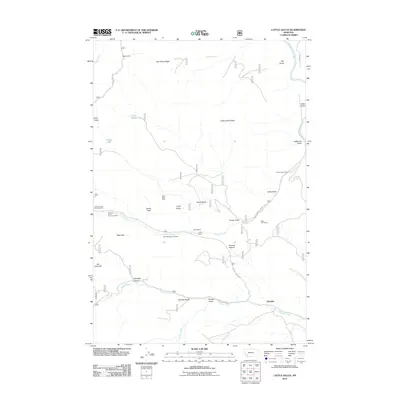 2011 Cattle Gulch2011 Print · USGSThe mountains near Glendale reveal a landscape of ranching and mining during the early twenty-first century. Genealogists and historians can locate family sites like Joyce Ranch and industrial remnants such as the Canyon Creek Charcoal Kilns.
Showing maps 1-25 of 145
Top cities of Silver Bow County
Frequently asked questions
- What are the different types of historical maps available for Silver Bow County?
- What is the oldest map of Silver Bow County?
- Where can I purchase historical maps of Silver Bow County for my home or office?
- Where can I download high-res historical maps of Silver Bow County?
- Are there historical topographic maps available for Silver Bow County?
- Is there historical aerial imagery available for Silver Bow County?
- Where are historical maps of Silver Bow County sourced from?