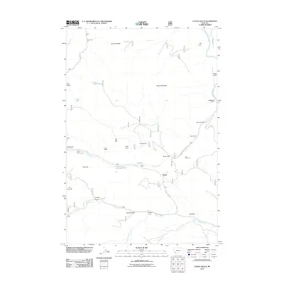
2011 Map of Cattle Gulch
USGS Topo · Published 2011About this map
The Big Hole River winds through the northern corner of this rugged Montana landscape, where cattle ranching and hard-rock mining have left a distinct spatial imprint. Evidence of the region’s industrial history is concentrated along Canyon Creek, most notably at the Canyon Creek Charcoal Kilns and the North Central Mine. These features, along with the Short Shift Mine and West Limb Mine, reflect a period of intensive resource extraction in the mountains near Glendale. Large tracts of grazing land are anchored by the Joyce Ranch and Siria Ranch, while topographic landmarks like Nez Perce Ridge and Cattle Gulch Ridge define the vertical relief. Isolated settlements such as Happy Camp and water sources like Cattle Gulch Lake provided essential hubs for early inhabitants moving through the canyons and gulches.
Find a feature on this map
40 named features on this map. Tap any name to fly to it.
Don’t see what you’re looking for? This feature index may not catch every label — zoom into the map to look around manually.
Map Details
Editions of this 2011 Cattle Gulch Map
This is the sole edition of this map. No revisions or reprints were ever made.
Other maps of this area

1893 · Dillon
USGS Topo · 1:250,000

1955 · Dillon
USGS Topo · 1:250,000

1957 · Dillon
USGS Topo · 1:250,000

1958 · Dillon
USGS Topo · 1:250,000

1958 · Vipond Park
USGS Topo · 1:62,500

1961 · Melrose
USGS Topo · 1:24,000

1961 · Earls Gulch
USGS Topo · 1:24,000

1961 · Butte South
USGS Topo · 1:62,500

1961 · Dewey
USGS Topo · 1:24,000

1961 · Wise River
USGS Topo · 1:24,000