1900s (20th Century) Maps of Sweet Grass County, Montana
Explore 83 historic maps of Sweet Grass County from the 1900s (20th Century). These maps offer a rare glimpse into what life looked like during the 1900s — showing old roads, neighborhoods, homes, and landmarks that have changed or disappeared over time.
Whether you're researching your family's past, planning a metal detecting trip, or studying how Sweet Grass County's landscape evolved across the 1900s, these high-resolution maps are a powerful tool for exploring the history of this region.
- Focus on a specific era: All maps on this page are from the 1900s, giving you a focused view of this time period.
- See what’s changed: Compare century-old streets, trails, and buildings to today's modern landscape using overlays and satellite layers.
- Research with precision: Use these maps for genealogy, historical research, land use analysis, or educational projects.
- View, download, or print: Maps are fully viewable online in high resolution, and can be downloaded or printed for your own records.
Start exploring Sweet Grass County's history through authentic maps from the 1900s. This is your window into the past.
Sweet Grass County, MT maps
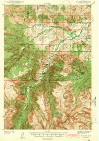
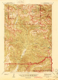
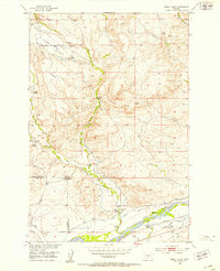
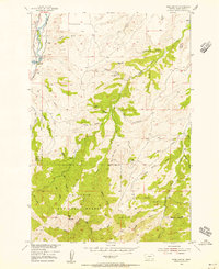
(83)- 1902 Map of Little Belt Mts.
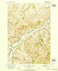
 1902 Little Belt Mts.1902 Print · USGSMeagher County at the close of the nineteenth century is a landscape of mountain mining camps and riverside settlements. Researchers can trace early industry and family roots near the Sapphire Mine, the town of White Sulphur Springs, and the camp at Neihart.3 unique versions available
 - 1932 Map of Nye No 2
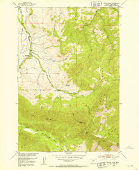
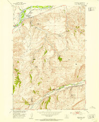
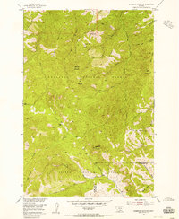
 1932 Nye No 21932 Print · USGSStillwater County’s high country comes into focus in the early 1930s, showing the early infrastructure of the national forests. Genealogists and historians can locate the Nye PO, trace the irrigation networks of Horseman Flats, and find remote landmarks like Beartooth Ranch.
 - 1939 Map of Mt Wood, 1941 Print
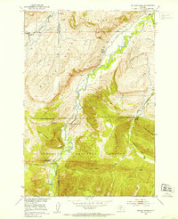
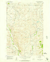
 1939 Mt Wood1941 Print · USGSStillwater County comes alive in the late thirties, documenting a rugged mining and ranching frontier within the Custer National Forest. Genealogists and historians can trace local landmarks like Nye, the Benbow Mine, and the Limestone Sch.4 unique versions available
 - 1941 Map of Mt. Wood
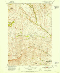
 1941 Mt. Wood1941 Print · USGSStillwater County and the Custer National Forest are mapped here in the early 1940s, showing a landscape defined by mountain mining and river valley ranching. Researchers can locate the Nye Cem, the Benbow Mine, and high-country landmarks like Beartooth Ranch.
 - 1941 Map of Mt Douglas, 1958 Print
 1941 Mt Douglas1958 Print · USGSHigh-altitude Montana ranching and resource extraction are captured here at the start of the 1940s. Genealogists and historians can trace early land use at Clydehurst Ranch, the Gish Mine, and the Fourmile Guard Station.4 unique versions available
 - 1942 Map of Cutoff Mtn, 1959 Print
 1942 Cutoff Mtn1959 Print · USGSThe Absaroka-Beartooth wilderness along the Montana-Wyoming border is captured here in the early 1940s. Researchers can trace the high-country trails and sites like the Independence Mine, Silver Tip Ranch, and the Cooke Ranger Sta.4 unique versions available
 - 1943 Map of Mt Douglas
 1943 Mt Douglas1943 Print · USGSHigh-altitude Montana ranching and forestry are documented here in the early 1940s, before modern road networks reached these alpine basins. Researchers can locate remote outposts like Clydehurst Ranch or trace the backcountry administrative boundaries near Fourmile Guard Station and Snowy Peak.2 unique versions available
 - 1944 Map of Cutoff Mtn
 1944 Cutoff Mtn1944 Print · USGSThe northern gateway to Yellowstone and the high Absaroka wilderness are documented in the early 1940s, just as the park’s modern boundaries were being refined. Trace the historic Northeast Entrance, the remote Silver Tip Ranch, and the high-altitude Independence Mine.2 unique versions available
 - 1947 Map of Bozeman, 1948 Print
 1947 Bozeman1948 Print · USGSBozeman and the surrounding mountain ranges are captured here just after the war, showing the vital rail and river networks of southwestern Montana. Genealogists and historians can trace routes to early settlements like Virginia City, Gallatin Gateway, and the mountain community of Jardine.
 - 1948 Map of Bozeman, 1951 Print
 1948 Bozeman1951 Print · USGSSouthern Montana in the late 1940s is shown as a high-country crossroads of rail lines and river headwaters. Genealogists and historians can trace old town sites like Virginia City and McLeod alongside the Northern Pacific and Milwaukee Road railroads.
 - 1948 Map of White Sulphur Springs, 1951 Print
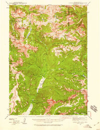
 1948 White Sulphur Springs1951 Print · USGSMontana's capital and the high country of the Big Belt Mountains come alive in this mid-century survey. Trace the early hydroelectric developments at Canyon Ferry Dam or follow the historic rail lines through Ringling and Townsend.
 - 1951 Map of Squaw Peak, 1953 Print
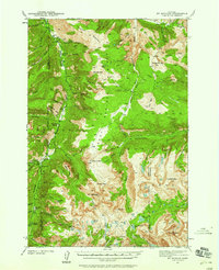
 1951 Squaw Peak1953 Print · USGSHigh mountain homesteads and remote forest ridges define this area of Sweet Grass County in the early fifties. Researchers can trace the heritage of local families and early industry through the Mc Kinsey Homestead, the East Boulder School, and the Sawmill Ruins.2 unique versions available
 - 1951 Map of Grosfield Ranch, 1953 Print
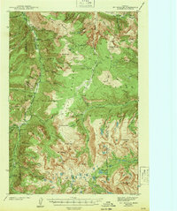
 1951 Grosfield Ranch1953 Print · USGSSweet Grass County, Montana, is captured here in the early 1950s during a period of transition for its high-country ranching families. Genealogists and historians can trace the status of family land like the Plaggemeyer Homestead or locate abandoned sites such as the Iverson Homestead and Vik Homestead.4 unique versions available
 - 1951 Map of Raspberry Butte, 1953 Print
 1951 Raspberry Butte1953 Print · USGSSweet Grass County ranching and timber life are well-documented here in the early fifties, where the mountains descend into high valley pastures. Genealogists and historians can locate legacy properties including the Hauge Homestead, Shook Homestead, and the local Swamp Creek School.3 unique versions available
 - 1951 Map of Kelly Hills, 1953 Print
 1951 Kelly Hills1953 Print · USGSRanching life along the Yellowstone River in the early fifties reveals a landscape of family-named spreads and irrigation networks. Genealogists and historians can trace local landmarks like the Old Kelly Homestead, Duck Creek School, and the Northern Pacific rail line.3 unique versions available
 - 1951 Map of Springdale, 1953 Print
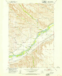
 1951 Springdale1953 Print · USGSRanching and rail life converge along the Yellowstone River in the early 1950s as the Northern Pacific railroad services the valley. Researchers can trace family landholdings like the Hash Homestead and Mason Homestead near the Coal Mine Rim.4 unique versions available
 - 1951 Map of Mc Leod Basin, 1953 Print
 1951 Mc Leod Basin1953 Print · USGSSweet Grass and Park counties in the early fifties show a transition between high-country wilderness and mountain ranching. You can locate early-century sites like the West Boulder School, the Old Kainuck Guest Ranch, and the Coal Mine along the river canyon.7 unique versions available
 - 1951 Map of Hunters Hot Springs, 1953 Print
 1951 Hunters Hot Springs1953 Print · USGSThe ranching country of Park and Sweet Grass counties is captured here in the early fifties, showing the evolution of the Missouri River Basin. Genealogists can trace family holdings and sites like the Roebacker Homestead, Martel Homestead, and Hunters Hot Springs.4 unique versions available
 - 1951 Map of Mc Leod, 1953 Print
 1951 Mc Leod1953 Print · USGSThe Boulder River valley in the early fifties shows a mountain landscape transitioning from early ranching homesteads to managed forest land. Genealogists can trace family sites like the Hoyseth Homestead and Mc Leod settlement or locate the Dutton School.4 unique versions available
 - 1951 Map of Carney, 1953 Print
 1951 Carney1953 Print · USGSThe Yellowstone River corridor in the early fifties shows a landscape defined by irrigation and rail, from Carney to the Airport Flats. Genealogists and historians can trace local landmarks like Carney School, Bridge School, and family-named holdings like Yost Ranch.2 unique versions available
 - 1951 Map of Fairview Peak, 1953 Print
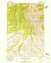 1951 Fairview Peak1953 Print · USGSThe Crazy Mountains in the early 1950s show a landscape of high-altitude drainage and transition. Researchers can trace the exact locations of several former mountain residences, including the Holland Homestead (Aban'd) and the Bishit Sawmill (Aban'd).4 unique versions available
 - 1954 Map of Big Timber, 1956 Print
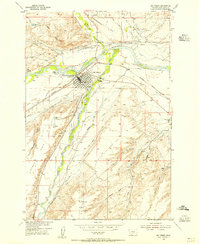 1954 Big Timber1956 Print · USGSBig Timber and the surrounding Sweet Grass ranchlands are captured here in the mid-fifties, centered on the strategic confluence of the Yellowstone River and Boulder River. Genealogists and local historians can trace rural school districts like Standard Sch and Dry Creek Sch alongside the intricate Pioneer Ditch irrigation system.3 unique versions available
 - 1954 Map of Ross Canyon, 1956 Print
 1954 Ross Canyon1956 Print · USGSSweet Grass County's rugged backcountry comes into focus in the mid-1950s, showing a landscape defined by the Boulder River and the high peaks of the Gallatin National Forest. Researchers can locate historic resource sites like the Calcite Mine (Inactive) and trace old travel routes including a Pack Trail and Jeep Trail.3 unique versions available
 - 1954 Map of Sliderock Mountain, 1956 Print
 1954 Sliderock Mountain1956 Print · USGSSweet Grass and Stillwater Counties were centers of mountain mining and forest management in the mid-fifties. Researchers can trace the high-country activity of prospecting sites like Iron Mountain Mine and remote outposts such as Wepler Cabin.3 unique versions available
 - 1954 Map of Otter Creek School, 1957 Print
 1954 Otter Creek School1957 Print · USGSSweet Grass County in the mid-fifties is characterized here by its vast ranching properties and the essential irrigation networks of Otter Creek. Genealogists can trace family landmarks like the Mattice Homestead and local hubs like the Otter Creek Sch or Wild Rose Sch.3 unique versions available
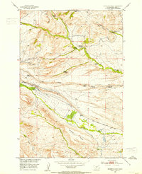
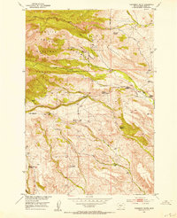
Showing maps 1-25 of 83
Top cities of Sweet Grass County
Frequently asked questions
- What are the different types of historical maps available for Sweet Grass County?
- What is the oldest map of Sweet Grass County?
- Where can I purchase historical maps of Sweet Grass County for my home or office?
- Where can I download high-res historical maps of Sweet Grass County?
- Are there historical topographic maps available for Sweet Grass County?
- Is there historical aerial imagery available for Sweet Grass County?
- Where are historical maps of Sweet Grass County sourced from?