2020s Maps of Sweet Grass County, Montana
Explore 100 historic maps of Sweet Grass County from the 2020s. These maps offer a rare glimpse into what life looked like during the 2020s — showing old roads, neighborhoods, homes, and landmarks that have changed or disappeared over time.
Whether you're researching your family's past, planning a metal detecting trip, or studying how Sweet Grass County's landscape evolved across the 2020s, these high-resolution maps are a powerful tool for exploring the history of this region.
- Focus on a specific era: All maps on this page are from the 2020s, giving you a focused view of this time period.
- See what’s changed: Compare century-old streets, trails, and buildings to today's modern landscape using overlays and satellite layers.
- Research with precision: Use these maps for genealogy, historical research, land use analysis, or educational projects.
- View, download, or print: Maps are fully viewable online in high resolution, and can be downloaded or printed for your own records.
Start exploring Sweet Grass County's history through authentic maps from the 2020s. This is your window into the past.
Sweet Grass County, MT maps
(100)- 2020 Map of Battleship Butte, 2020 Print
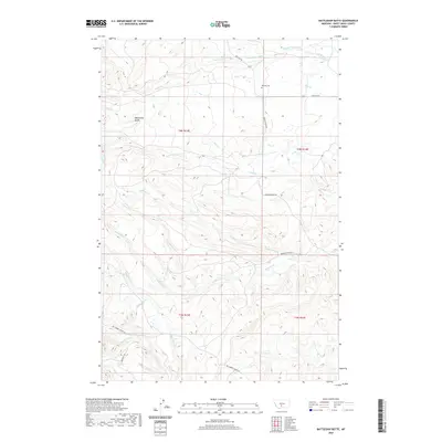 2020 Battleship Butte2020 Print · USGSSweet Grass County ranchlands are documented here in the modern era, showing the intersection of high-plains topography and vital irrigation networks. Researchers can locate the Melville Cem and trace historic water rights via the Anderson Vose Ditch and Hoyem Ditch.
 - 2020 Map of Gibson, 2020 Print
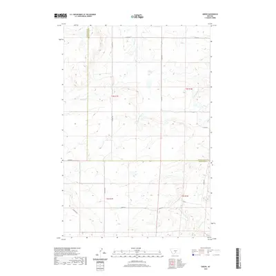 2020 Gibson2020 Print · USGSBig sky country at the border of Sweet Grass and Golden Valley counties is captured here in recent years. Genealogists and land researchers can trace the rural road network including S Shawmut Rd and S Barber Rd near the settlement of Gibson.
 - 2020 Map of Jim Creek, 2020 Print
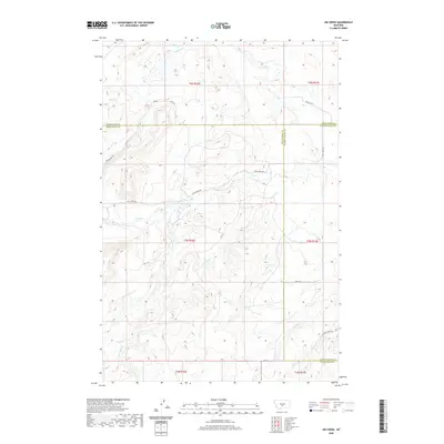 2020 Jim Creek2020 Print · USGSWheatland and Golden Valley counties meet in this contemporary survey of Montana's high plains ranching country. Researchers can trace the courses of Jim Creek and Fish Creek or locate isolated rural routes like Tony Creek Road.
 - 2020 Map of Progress, 2020 Print
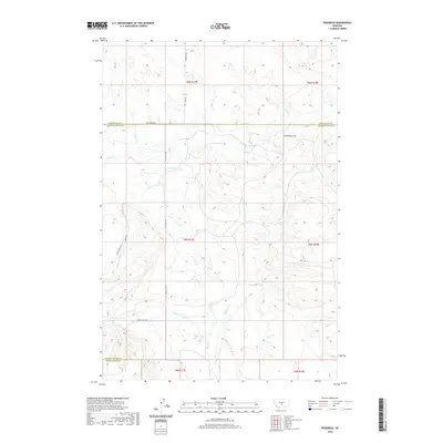 2020 Progress2020 Print · USGSWheatland and Golden Valley counties come into focus in this contemporary survey of Montana's ranching country. Trace the drainages of Fish Cr and Cherry Cr or locate the prominent landmark of Chinamans Hat and the remote Titeca Ranch Ln.
 - 2020 Map of Crazy Peak, 2020 Print
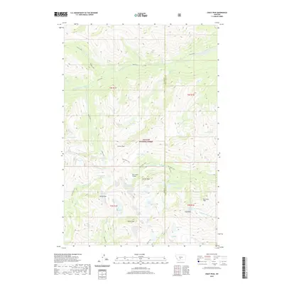 2020 Crazy Peak2020 Print · USGSThe high alpine crest of the Crazy Mountains is captured here in the contemporary era, spanning the boundary of Park and Sweet Grass counties. Hikers and researchers can trace the drainages of Sweet Grass Creek or locate remote summits like Crazy Peak and Wilsall Peak.
 - 2020 Map of Locomotive Butte SW, 2020 Print
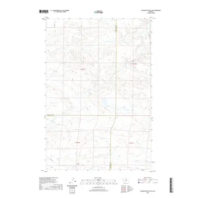 2020 Locomotive Butte SW2020 Print · USGSSweet Grass County and its neighboring Stillwater and Golden Valley borders are mapped here in the modern era of Montana ranching. Genealogists and local historians can trace family land ties along Hines Ranch RD and the drainages of Sixshooter Cr and Knob Hill.
 - 2020 Map of Gougley Creek, 2020 Print
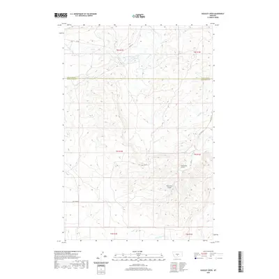 2020 Gougley Creek2020 Print · USGSWheatland and Sweet Grass counties meet in this modern survey of the Montana high plains. Researchers can trace the rugged drainage systems of Fredrickson Coulee and the network of ranch roads like Tony Creek Rd and Red Bridge Rd.
 - 2020 Map of Amelong Creek, 2020 Print
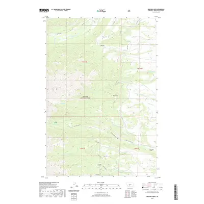 2020 Amelong Creek2020 Print · USGSSweet Grass County's high country is captured here in the early twenty-first century, featuring the steep drainages of the Gallatin National Forest. You can trace the path of the Stocker Ditch or locate landmarks like Upper Big Timber Falls and Black Butte.
 - 2020 Map of Upper Glaston Lake, 2020 Print
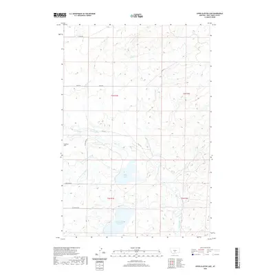 2020 Upper Glaston Lake2020 Print · USGSSweet Grass County is documented here in the early twenty-first century, showcasing a landscape defined by high-plains water management. Genealogists and researchers can trace local water rights and land use via the Upper Sweet Grass Canal, Upper Glaston Lake, and Cottonwood Springs.
 - 2020 Map of Gibson SW, 2020 Print
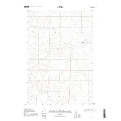 2020 Gibson SW2020 Print · USGSSweet Grass County's high ranchlands are documented here in the early twenty-first century. Researchers can trace the drainage basins of Antelope Cr and Simmons Cr or follow the path of Cremer Rd through the Cayuse Hills.
 - 2020 Map of Porcupine Butte, 2020 Print
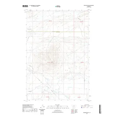 2020 Porcupine Butte2020 Print · USGSHigh plains ranching and intricate water management define this Montana landscape along the Wheatland and Sweet Grass county line. Genealogists and local historians can trace the paths of essential irrigation works like the Hart Parker Ditch and the American Fork Ranch Ditch near Porcupine Butte.
 - 2020 Map of Melville, 2020 Print
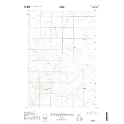 2020 Melville2020 Print · USGSThe rural community of Melville is shown in the early twenty-first century amidst an intricate landscape of irrigation canals and foothill creeks. Genealogists and local historians can trace family lands near Melville and landmarks like Wheeler Butte or the PO.
 - 2020 Map of Melville NW, 2020 Print
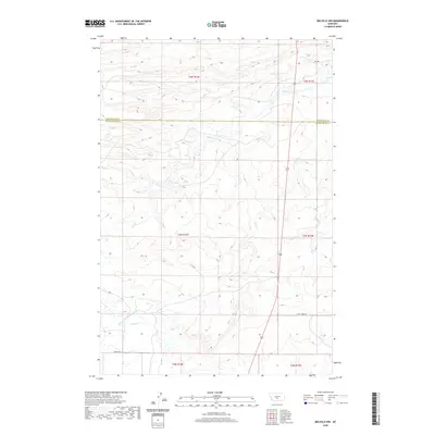 2020 Melville NW2020 Print · USGSWheatland and Sweet Grass counties meet in this high-plains region during the early twenty-first century. Genealogists and historians can trace the irrigation history of the Martin and Cremer Ditch and follow local routes like Tony Creek Rd.
 - 2020 Map of Rein Lake, 2020 Print
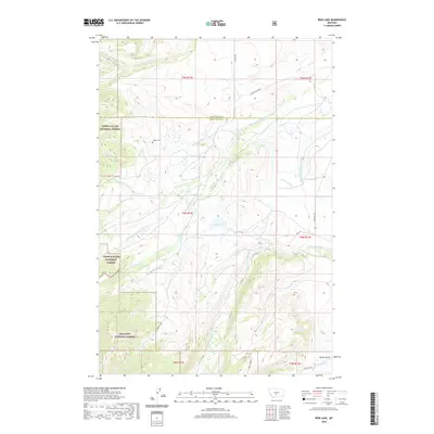 2020 Rein Lake2020 Print · USGSThe Montana high country at the border of Wheatland and Sweet Grass Counties is mapped here in the modern era. Genealogists can locate Hopkins Cem, while researchers can trace the historic water rights of the American Fork Ranch Ditch and Tronrud Ditch.
 - 2020 Map of Ross Canyon, 2020 Print
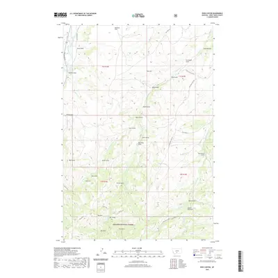 2020 Ross Canyon2020 Print · USGSThe Montana high country of Sweet Grass County is captured here in the early twenty-first century, showing a complex landscape of forest and irrigation. Researchers can trace historical water rights through Ellison Ditch and explore landmarks like Eightmile Bridge or Black Butte.
 - 2020 Map of Lone Indian Butte, 2020 Print
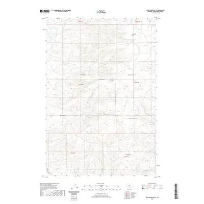 2020 Lone Indian Butte2020 Print · USGSSweet Grass County is documented here in the modern era, revealing a landscape of high buttes and deeply etched gulches. Genealogists and historians can trace old routes like Deadmans Canyon Rd or locate family-named landmarks such as Wullum Gulch and Shanks Basin.
 - 2020 Map of Meyer Mountain, 2020 Print
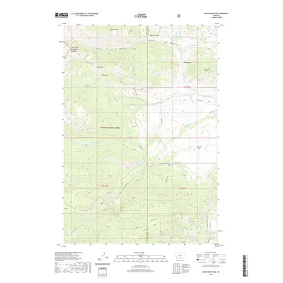 2020 Meyer Mountain2020 Print · USGSThe high country of Stillwater County is mapped here during the recent decade, showing the meeting of two national forests. Trace the alpine drainages of the W Fork Stillwater River and find landmarks like Limestone Butte and Quaker Spring.
 - 2020 Map of Greycliff, 2020 Print
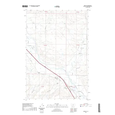 2020 Greycliff2020 Print · USGSThe Yellowstone River valley near the settlement of Greycliff is documented here in the early twenty-first century, showing a landscape defined by ranching and irrigation. Researchers can trace the heritage of the area through family-named landmarks like Norman Gulch, the historic Greycliff Bridge, and the sites of Old Schoolhouse Gulch.
 - 2020 Map of Ryan Creek, 2020 Print
 2020 Ryan Creek2020 Print · USGSSweet Grass County is seen here in the early twenty-first century, revealing a landscape of high-plains drainages and rural crossroads. Researchers can locate the Sourdough settlement and trace the paths of Sweet Grass Creek and Nash Gulch.
 - 2020 Map of Stephens Hill, 2020 Print
 2020 Stephens Hill2020 Print · USGSSweet Grass and Stillwater counties at the start of the 2020s are defined by high-plains drainages and remote ranch roads. Trace the winding path of W White Beaver Cr or locate family-named routes like Reed Point Rd and Svensen Rd.
 - 2020 Map of Sourdough School, 2020 Print
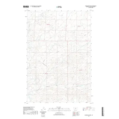 2020 Sourdough School2020 Print · USGSSweet Grass County's ranching landscape is captured here in the early twenty-first century, showing the intricate creek systems and rural roads of central Montana. Researchers can trace the path of Boggs Ditch or follow the terrain along Rapelje Rd and Tin Can Hill Rd.
 - 2020 Map of Wildcat Draw, 2020 Print
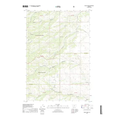 2020 Wildcat Draw2020 Print · USGSThe high backcountry of Sweet Grass and Stillwater counties is captured here in the years following the turn of the century. Researchers can locate remote water sources like September Morn Spring and trace the deep drainages of Beartrap Draw and Derby Gulch.
 - 2020 Map of Work Creek, 2020 Print
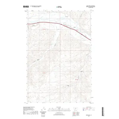 2020 Work Creek2020 Print · USGSSweet Grass County is documented here in the modern era, showing how the Yellowstone River and its irrigation ditches shaped the local cattle and farming country. Researchers can locate Kent Cem and the settlement of Quebec, alongside rugged landmarks like The Greycliffs and Norwegian Gulch.
 - 2020 Map of Packsaddle Butte, 2020 Print
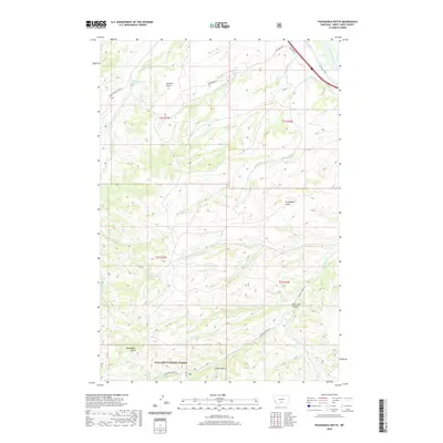 2020 Packsaddle Butte2020 Print · USGSSweet Grass County backcountry at the start of the 2020s is defined by the high elevations of Packsaddle Butte and the Gallatin National Forest. Researchers can trace remote drainage networks and rural routes including Norwegian Gulch, Derby Gulch, and Greycliff Rd.
 - 2020 Map of Otter Creek School, 2020 Print
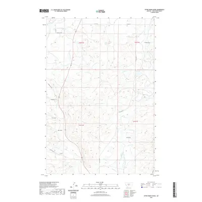 2020 Otter Creek School2020 Print · USGSSweet Grass County is documented here at the start of the 2020s, revealing a complex landscape of ranching and water management. Genealogists and local historians can trace family land through features like Lavold Reservoir and the Meyers-Rapstad-Rudd Ditch.
Showing maps 1-25 of 100
Top cities of Sweet Grass County
Frequently asked questions
- What are the different types of historical maps available for Sweet Grass County?
- What is the oldest map of Sweet Grass County?
- Where can I purchase historical maps of Sweet Grass County for my home or office?
- Where can I download high-res historical maps of Sweet Grass County?
- Are there historical topographic maps available for Sweet Grass County?
- Is there historical aerial imagery available for Sweet Grass County?
- Where are historical maps of Sweet Grass County sourced from?