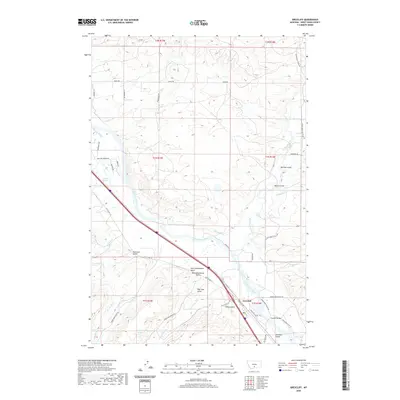
2020 Map of Greycliff
USGS Topo · Published 2020About this map
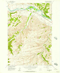
The Yellowstone River cuts a wide path through this portion of Sweet Grass County, serving as the primary geographic anchor for the settlement of Greycliff. The landscape is defined by an intricate system of water management and irrigation, including the Pioneer Ditch, Hawks Ditch, and Harrison Ditch, which redirect water from the river and Sweet Grass Creek to support the local valley floor. These human-made waterways run parallel to the natural drainage of several prominent gulches that descend from the higher elevations.
Find a feature on this map
57 named features on this map. Tap any name to fly to it.
Don’t see what you’re looking for? This feature index may not catch every label — zoom into the map to look around manually.
Map Details
Editions of this 2020 Greycliff Map
This is the sole edition of this map. No revisions or reprints were ever made.
Other maps of this area

1891 · Big Timber
USGS Topo · 1:125,000

1893 · Big Timber
USGS Topo · 1:125,000

1954 · Big Timber
USGS Topo · 1:24,000
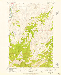
1954 · Ross Canyon
USGS Topo · 1:24,000
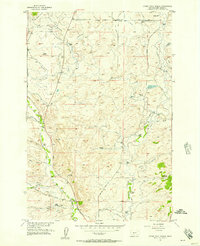
1954 · Otter Creek School
USGS Topo · 1:24,000
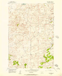
1954 · Ryan Creek
USGS Topo · 1:24,000

1954 · Billings
USGS Topo · 1:250,000

1955 · Packsaddle Butte
USGS Topo · 1:24,000

1955 · Greycliff
USGS Topo · 1:24,000
1956 · Work Creek
USGS Topo · 1:24,000