
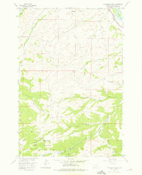
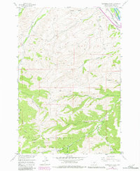
1955 Map of Packsaddle Butte
USGS Topo · Published 1957About this map
Packsaddle Butte rises as a prominent landmark in this mid-century survey of Sweet Grass County, marking the transition from the river valley to the protected lands of the Gallatin National Forest. The northeastern corner of the map is defined by the Yellowstone River, which serves as a vital corridor for the Northern Pacific railroad. The landscape is deeply dissected by a network of drainages such as Greycliff Creek, Norwegian Gulch, and Overfelt Gulch, illustrating the complex hydrology that feeds into the Yellowstone. High-elevation features like the Black Butte Trail and several seasonal water sources, including West Bridger Spring, suggest the area's importance for local ranching and forest management. The boundary between public forest lands and private parcels is clearly delineated, reflecting the 1950s land-use patterns in this part of Montana.
Find a feature on this map
18 named features on this map. Tap any name to fly to it.
Don’t see what you’re looking for? This feature index may not catch every label — zoom into the map to look around manually.
Map Details
Editions of this 1955 Packsaddle Butte Map
3 editions found
Other maps of this area

1891 · Big Timber
USGS Topo · 1:125,000

1893 · Big Timber
USGS Topo · 1:125,000

1954 · Big Timber
USGS Topo · 1:24,000
1954 · Ross Canyon
USGS Topo · 1:24,000
1954 · Sliderock Mountain
USGS Topo · 1:24,000

1954 · Billings
USGS Topo · 1:250,000
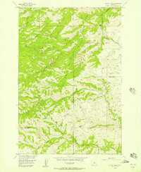
1955 · Wildcat Draw
USGS Topo · 1:24,000

1955 · Greycliff
USGS Topo · 1:24,000
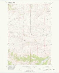
1955 · Cow Face Hill
USGS Topo · 1:24,000
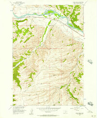
1956 · Work Creek
USGS Topo · 1:24,000