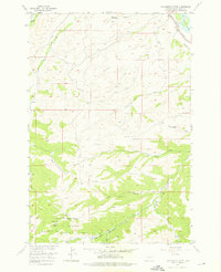
1955 Map of Packsaddle Butte
USGS Topo · Published 1976About this map
Gallatin National Forest dominates the southern landscape of this mid-century survey, where the Forest Boundary marks the transition from rugged mountain foothills to the river valley. The northeastern corner is anchored by the Yellowstone River, a vital corridor shadowed by the Northern Pacific railroad tracks. This era of the Missouri River Basin development program captures a terrain defined by its complex drainage network, including the eponymous Packsaddle Butte and the winding course of Bridger Creek. Local landmarks like Bear Chip Coulee and Norwegian Gulch highlight the specific regional naming conventions of the era. For those interested in historical land use, the map details the early Black Butte Trail and several springs, including West Bridger Spring, providing a precise record of water sources and access routes before modern expansion altered the rural character of Sweet Grass County.
Find a feature on this map
19 named features on this map. Tap any name to fly to it.
Don’t see what you’re looking for? This feature index may not catch every label — zoom into the map to look around manually.
Map Details
Editions of this 1955 Packsaddle Butte Map
3 editions found
Other maps of this area

1891 · Big Timber
USGS Topo · 1:125,000

1893 · Big Timber
USGS Topo · 1:125,000

1954 · Big Timber
USGS Topo · 1:24,000
1954 · Ross Canyon
USGS Topo · 1:24,000
1954 · Sliderock Mountain
USGS Topo · 1:24,000

1954 · Billings
USGS Topo · 1:250,000

1955 · Packsaddle Butte
USGS Topo · 1:24,000
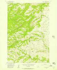
1955 · Wildcat Draw
USGS Topo · 1:24,000

1955 · Greycliff
USGS Topo · 1:24,000
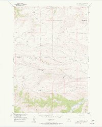
1955 · Cow Face Hill
USGS Topo · 1:24,000