
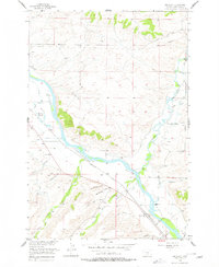
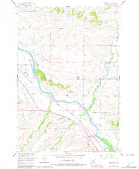
1955 Map of Greycliff
USGS Topo · Published 1957About this map
The Yellowstone River cuts a wide corridor through this mid-century landscape, flanked by the Northern Pacific railroad and a network of irrigation ditches. The settlement pattern is defined by ranching and travel along the river valley, with several named landmarks reflecting local educational and social history. The presence of both New Schoolhouse Gulch and Old Schoolhouse Gulch south of the river suggests a shift in the local community's center over time, while the Howie Sch serves the northern portion of the quadrangle near Howie.
Find a feature on this map
32 named features on this map. Tap any name to fly to it.
Don’t see what you’re looking for? This feature index may not catch every label — zoom into the map to look around manually.
Map Details
Editions of this 1955 Greycliff Map
3 editions found
Other maps of this area

1891 · Big Timber
USGS Topo · 1:125,000

1893 · Big Timber
USGS Topo · 1:125,000

1954 · Big Timber
USGS Topo · 1:24,000
1954 · Ross Canyon
USGS Topo · 1:24,000
1954 · Otter Creek School
USGS Topo · 1:24,000
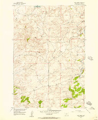
1954 · Ryan Creek
USGS Topo · 1:24,000

1954 · Billings
USGS Topo · 1:250,000

1955 · Packsaddle Butte
USGS Topo · 1:24,000
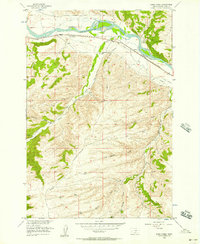
1956 · Work Creek
USGS Topo · 1:24,000

1957 · Billings
USGS Topo · 1:250,000